1900s (20th Century) Maps of Westfield, Maine
Explore 16 historic maps of Westfield from the 1900s (20th Century). These maps offer a rare glimpse into what life looked like during the 1900s — showing old roads, neighborhoods, homes, and landmarks that have changed or disappeared over time.
Whether you're researching your family's past, planning a metal detecting trip, or studying how Westfield's landscape evolved across the 1900s, these high-resolution maps are a powerful tool for exploring the history of this region.
- Focus on a specific era: All maps on this page are from the 1900s, giving you a focused view of this time period.
- See what’s changed: Compare century-old streets, trails, and buildings to today's modern landscape using overlays and satellite layers.
- Research with precision: Use these maps for genealogy, historical research, land use analysis, or educational projects.
- View, download, or print: Maps are fully viewable online in high resolution, and can be downloaded or printed for your own records.
Start exploring Westfield's history through authentic maps from the 1900s. This is your window into the past.
Westfield, ME maps
(16)- 1935 Map of Presque Isle
 1935 Presque Isle1935 Print · USGSAroostook County agriculture and industry are at their peak in the 1930s, centered on the river-and-rail hub of Presque Isle. Genealogists and historians can trace dozens of rural schoolhouses like Richardson Sch and find landmarks such as the Landing Field and the State Experimental Farm.3 unique versions available
 - 1936 Map of Mars Hill
 1936 Mars Hill1936 Print · USGSIn the mid-1930s, the rural landscapes of Easton and Blaine were defined by the Bangor and Aroostook RR and a dense network of country schools. Genealogists can trace family landmarks like Pine Tree Cem, Ross Sch, and Morison Mill along the international border.
 - 1940 Map of Mars Hill
 1940 Mars Hill1940 Print · USGSAroostook County was a hub of rail and river commerce in the late 1930s, defined by its connection to the Canadian border. You can trace early schoolhouse locations like Maple Grove Sch and the industrial roots of Monson Mill and Easton Station.3 unique versions available
 - 1951 Map of Mars Hill
 1951 Mars Hill1951 Print · USGSAroostook County's borderlands and rail corridors are preserved here in the mid-century, before modernization reshaped the potato-growing heartland. Genealogists and historians can trace family roots through sites like Kings Grove Cem, East Ridge Ch, and the many stops along the BANGOR AND AROOSTOOK railroad.3 unique versions available
 - 1953 Map of Presque Isle, 1955 Print
 1953 Presque Isle1955 Print · USGSCentral Aroostook County is seen here during the mid-century expansion of Presque Isle, featuring a landscape shaped by rail and river. Researchers can trace the early Presque Isle Air Force Base, old schoolhouses like Hillside Sch, and landmarks including Hedgehog Mountain.5 unique versions available
 - 1954 Map of Presque Isle, 1968 Print
 1954 Presque Isle1968 Print · USGSNorth Woods logging and rail history come alive in this mid-century survey of the Maine-Quebec borderlands. Genealogists and historians can trace the Bangor and Aroostook railroad through timber hubs like Ashland, Smyrna Mills, and Presque Isle.2 unique versions available
 - 1958 Map of Presque Isle
 1958 Presque Isle1958 Print · USGSThe Aroostook timber and potato country is captured here during the late fifties, showing the vital rail-to-river network of Northern Maine. Genealogists and historians can trace the Bangor & Aroostook RR through Mapleton and Ashland, or locate remote sites like Chamberlain Farm and Seven Islands.
 - 1959 Map of Woodstock, 1975 Print
 1959 Woodstock1975 Print · USGSNorthern Maine and New Brunswick meet along the river valleys in the late fifties, showcasing an era of international rail and river commerce. Genealogists can trace family roots through border towns like Woodstock and Houlton, or along the lines of the Bangor & Aroostook railroad.
 - 1960 Map of Presque Isle
 1960 Presque Isle1960 Print · USGSNorthern Maine during the mid-century was a land of timber, rails, and strategic airfields. Genealogists and historians can trace the growth of Presque Isle and Ashland or explore the remote northern reaches of Baxter State Park and Presque Isle AFB.3 unique versions available
 - 1963 Map of Woodstock
 1963 Woodstock1963 Print · USGSThe Maine-New Brunswick borderlands come alive in the early sixties, showing the vital river-and-rail connection between Houlton and Woodstock. Genealogists and historians can trace the paths of the Canadian Pacific RR and locate rural communities like Stickney and Upper Kent.
 - 1975 Map of Mars Hill SW, 1981 Print
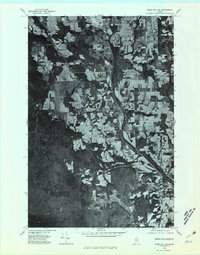 1975 Mars Hill SW1981 Print · USGSThe Aroostook County countryside near Westfield is shown here in the mid-seventies through detailed aerial photography. Researchers can trace land boundaries, forest edges, and water bodies like Prestile Stream and Bennett Lake.
 - 1975 Map of Presque Isle SE, 1981 Print
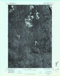 1975 Presque Isle SE1981 Print · USGSNorthern Maine forest and farmland emerge in this mid-seventies aerial study of the Aroostook landscape. Researchers can trace the winding course of Presque Isle Stream and identify early land clearings near Quaggy Joe and Echo Lake.
 - 1984 Map of Echo Lake
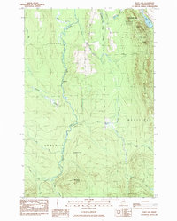 1984 Echo Lake1984 Print · USGSThe Aroostook County highlands come into sharp focus in the mid-1980s, centered on the rugged peaks of the state's first park. Researchers can trace land divisions across Westfield and Chapman, or locate remote spots like Deadmans Corner and Echo Lake.
 - 1984 Map of Westfield
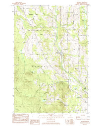 1984 Westfield1984 Print · USGSAroostook County in the early eighties was a landscape of rail-connected settlements and timberland. Genealogists and historians can trace the Bangor and Aroostook rail line, Marshall Cem, and many remote water bodies like Winslow Lake.
 - 1993 Map of Fort Fairfield
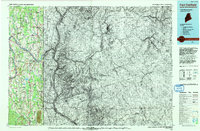 1993 Fort Fairfield1993 Print · USGSThe Aroostook River valley is shown at a pivotal moment in the 1990s as it spans the international border between Maine and New Brunswick. Genealogists and local historians can trace the extent of Loring Air Force Base or locate rural crossroads like Grimes Mill and Sawyer Corner.
 - 1994 Map of Presque Isle
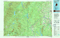 1994 Presque Isle1994 Print · USGSAroostook County in the mid-nineties shows a landscape defined by timber, rail, and river-valley farming. Genealogists and historians can trace the Bangor & Aroostook RR through small stations and settlements like Winterville Sta, Buffalo, and Sheridan.
End of results
Showing maps 1-16 of 16
Top cities near Westfield
- Presque Isle historical maps
- Caribou historical maps
- Fort Fairfield historical maps
- Mapleton historical maps
- Washburn historical maps
- Mars Hill historical maps
See more
Frequently asked questions
- What are the different types of historical maps available for Westfield?
- What is the oldest map of Westfield?
- Where can I purchase historical maps of Westfield for my home or office?
- Where can I download high-res historical maps of Westfield?
- Are there historical topographic maps available for Westfield?
- Is there historical aerial imagery available for Westfield?
- Where are historical maps of Westfield sourced from?