Old Maps of East Baldwin Mattocks Station, Baldwin for Genealogy
Trace your family roots with 14 historic maps of East Baldwin Mattocks Station. These high-res maps reveal old neighborhoods, homesites, landmarks, and streets — helping you uncover where your ancestors lived and how the area evolved over time.
- Explore historic neighborhoods: Identify where your relatives may have lived in the 1800s or 1900s.
- Compare maps over time: Trace the changes in streets, buildings, and landmarks for multi-generational research.
- Perfect for genealogy & ancestry research: Used by family historians and researchers to map out lineage and migration.
These maps are an incredible resource for exploring your personal connection to East Baldwin Mattocks Station's past.
East Baldwin Mattocks Station, Baldwin maps
(14)- 1896 Map of Sebago
 1896 Sebago1896 Print · USGSCumberland County’s lake country thrived on a network of water and rail transport at the end of the Victorian era. Researchers can trace the Steamboat Route through Sebago Lake and locate old industrial sites like Songo Lock, Cooks Mills, and Steep Falls.8 unique versions available
 - 1942 Map of Sebago Lake, 1959 Print
 1942 Sebago Lake1959 Print · USGSCumberland County’s lakes and ridges were well-established as a summer destination in the early 1940s, centered around the expanse of Sebago Lake. Researchers can trace old rail routes at East Baldwin Mattocks Sta, find the historic Potter Academy, or locate family sites near South Naples.3 unique versions available
 - 1943 Map of Sebago Lake
 1943 Sebago Lake1943 Print · USGSMaine's lake country thrived during the early 1940s as a hub of rail commerce and early recreation. You can trace the Maine Central Railroad through Steep Falls or find local landmarks like Potter Academy and Songo Lock.3 unique versions available
 - 1949 Map of Portland
 1949 Portland1949 Print · USGSCoastal Maine and the New Hampshire interior are shown in detail during the late forties, from the bustling harbors to the lakeside villages. Researchers can trace historical rail networks like the Boston & Maine RR and locate coastal defenses such as Fort Preble.3 unique versions available
 - 1956 Map of Portland, 1963 Print
 1956 Portland1963 Print · USGSSouthern Maine and eastern New Hampshire are captured here in the mid-fifties, during a time of major highway expansion and military growth. You can trace the path of the Maine Turnpike and locate landmarks like the Portsmouth Naval Shipyard and Sebago Lake.4 unique versions available
 - 1959 Map of Portland
 1959 Portland1959 Print · USGSThe Maine and New Hampshire coastlines meet in this mid-century portrait of maritime commerce and inland rail networks. Researchers can trace the legacy of coastal defense at Fort Williams and follow the historic path of the Maine Central RR through the White Mountain National Forest.2 unique versions available
 - 1963 Map of Portland
 1963 Portland1963 Print · USGSCoastal Maine and New Hampshire thrived as maritime and industrial hubs during the mid-sixties, linked by a dense network of rail and river. Researchers can trace historic transit corridors like the Maine Central RR and locate key sites such as the Portsmouth Naval Shipyard or Pease Air Force Base.3 unique versions available
 - 1983 Map of Steep Falls, 1984 Print
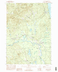 1983 Steep Falls1984 Print · USGSMaine's riverfront settlements and family farmsteads are detailed here in the early 1980s. Genealogists can locate numerous family burial sites like Emerson-Thorne Cem and Lord Cem, or trace the winding Saco River past Steep Falls.2 unique versions available
 - 1985 Map of Portland, 1986 Print
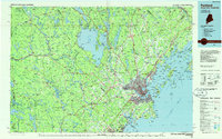 1985 Portland1986 Print · USGSThe Maine coast and Sebago Lake region are captured in the mid-1980s, showcasing the transition from traditional maritime centers to a modern transportation hub. Genealogists and historians can trace rail lines like the Grand Trunk RR and find local landmarks such as the U.S. Marine Hospital or Old Orchard Beach.2 unique versions available
 - 2011 Map of Steep Falls, 2011 Print
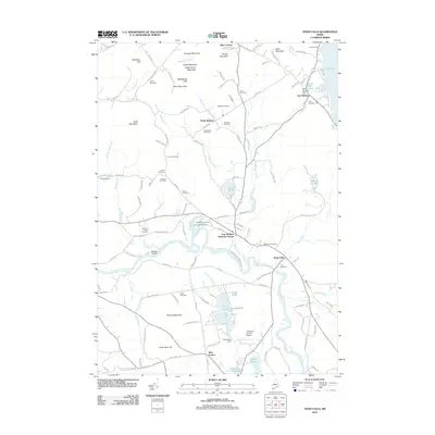 2011 Steep Falls2011 Print · USGSThe rural interior of Cumberland and York counties is mapped here during the early twenty-first century, centered on the winding Saco River. Genealogists and historians can trace numerous family burial sites like York Cemetery and landmark locations such as Mattocks Station and Ruin Corner.
 - 2014 Map of Steep Falls, 2014 Print
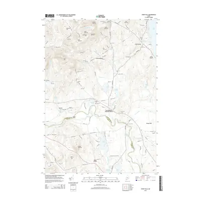 2014 Steep Falls2014 Print · USGSCumberland and York counties meet along the Saco River in this early twenty-first-century survey of the Maine interior. Genealogists and local historians can trace family lineages through numerous burial sites like Old Wentworth Cem and settlements such as East Baldwin Mattocks Station.
 - 2018 Map of Steep Falls, 2018 Print
 2018 Steep Falls2018 Print · USGSThe Saco River corridor comes to life in the late twenty-tens, showing the rural communities of Steep Falls and North Baldwin at the junction of two counties. Genealogists can locate dozens of family burial sites such as Fitch Cem and Larrabee Cem alongside landmarks like Limington-Harmon Airport.
 - 2021 Map of Steep Falls, 2021 Print
 2021 Steep Falls2021 Print · USGSThe Saco River valley and the Maine Central Railroad corridor define this Maine landscape in the early twenty-first century. Family historians can locate numerous family burial grounds like the Cyrus Brown Cem and Marrs Cem, or trace local industry at Woods Millpond.
 - 2024 Map of Steep Falls, 2024 Print
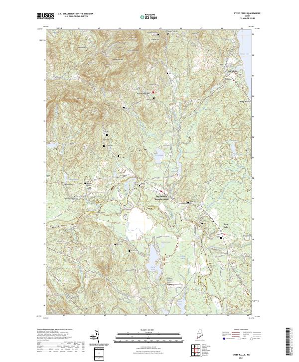 2024 Steep Falls2024 Print · USGSThe Saco River valley and the foothills of the Saddleback Hills come into focus in this contemporary survey of Southern Maine. Local historians can trace family ties through a network of small burial grounds like Larrabee Cem and landmarks such as Mattocks Station.
End of results
Showing maps 1-14 of 14
Frequently asked questions
- What are the different types of historical maps available for East Baldwin Mattocks Station?
- What is the oldest map of East Baldwin Mattocks Station?
- Where can I purchase historical maps of East Baldwin Mattocks Station for my home or office?
- Where can I download high-res historical maps of East Baldwin Mattocks Station?
- Are there historical topographic maps available for East Baldwin Mattocks Station?
- Is there historical aerial imagery available for East Baldwin Mattocks Station?
- Where are historical maps of East Baldwin Mattocks Station sourced from?