2020s Maps of Standish, Maine
Explore 10 historic maps of Standish from the 2020s. These maps offer a rare glimpse into what life looked like during the 2020s — showing old roads, neighborhoods, homes, and landmarks that have changed or disappeared over time.
Whether you're researching your family's past, planning a metal detecting trip, or studying how Standish's landscape evolved across the 2020s, these high-resolution maps are a powerful tool for exploring the history of this region.
- Focus on a specific era: All maps on this page are from the 2020s, giving you a focused view of this time period.
- See what’s changed: Compare century-old streets, trails, and buildings to today's modern landscape using overlays and satellite layers.
- Research with precision: Use these maps for genealogy, historical research, land use analysis, or educational projects.
- View, download, or print: Maps are fully viewable online in high resolution, and can be downloaded or printed for your own records.
Start exploring Standish's history through authentic maps from the 2020s. This is your window into the past.
Standish, ME maps
(10)- 2021 Map of Sebago Lake, 2021 Print
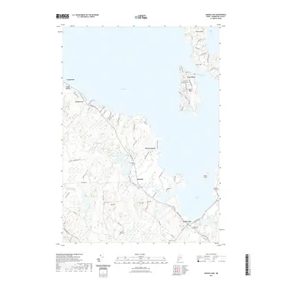 2021 Sebago Lake2021 Print · USGSMaine's deep-water shoreline and the community of Richville are documented here in the early twenty-first century. Researchers can locate numerous family burial grounds including Hamlin Cem and Poor Birch Cem, alongside landmarks like Fryes Leap.
 - 2021 Map of Steep Falls, 2021 Print
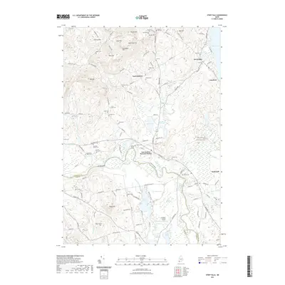 2021 Steep Falls2021 Print · USGSThe Saco River valley and the Maine Central Railroad corridor define this Maine landscape in the early twenty-first century. Family historians can locate numerous family burial grounds like the Cyrus Brown Cem and Marrs Cem, or trace local industry at Woods Millpond.
 - 2021 Map of Standish, 2021 Print
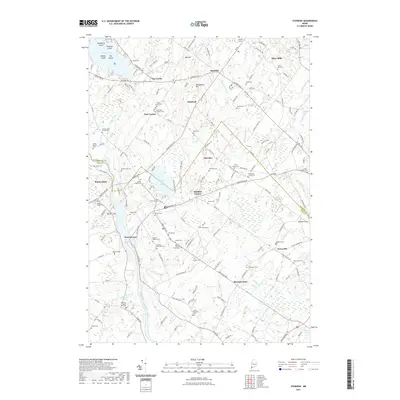 2021 Standish2021 Print · USGSStandish and the Saco River valley are captured here in the early twenty-first century, showcasing a landscape deeply rooted in family history. Genealogists can trace lineage through dozens of small burial grounds like Hobson Joseph Cem and Meeting House Hill Cem, or explore old mill sites at Shaw Mills.
 - 2021 Map of Limington, 2021 Print
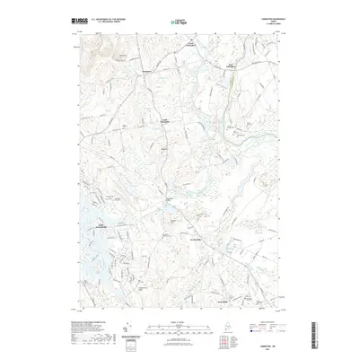 2021 Limington2021 Print · USGSMaine's Saco River valley comes into focus in this contemporary study of the Limington and Hollis area. Researchers can trace ancestral sites across several family plots, including the Bela York Cem and Caleb Carpenter Cem, or locate landmarks like Edgecomb Bridge.
 - 2021 Map of North Windham, 2021 Print
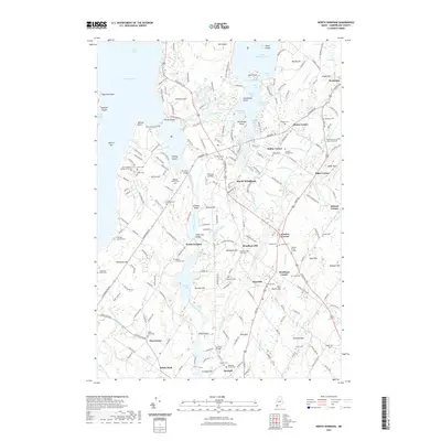 2021 North Windham2021 Print · USGSCumberland County’s river valleys and lake shores are beautifully detailed in this recent look at the Windham area. Researchers can trace family history through numerous small burial grounds like Hanson Burial Ground or visit local landmarks like Babbs Bridge and Saint Joseph's College of Maine.
 - 2024 Map of Standish, 2024 Print
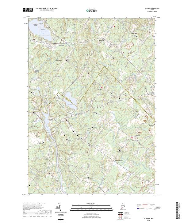 2024 Standish2024 Print · USGSSouthern Maine's river valleys and rural crossroads are captured here as they appear today, spanning the border of York and Cumberland counties. Researchers can locate dozens of historic family burial grounds, including Dows Corner Cem and Emery-Bradbury Cem, alongside established landmarks like Watchic Pond and Shaw Mills.
 - 2024 Map of North Windham, 2024 Print
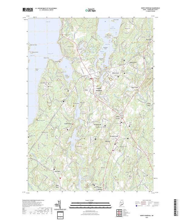 2024 North Windham2024 Print · USGSCumberland County’s lakes and river corridors are shown here during the early twenty-first century, featuring the growth of North Windham. Genealogists can trace family heritage at the Hanson Burial Ground, Mayberry Cem, and the old Friends Cem.
 - 2024 Map of Limington, 2024 Print
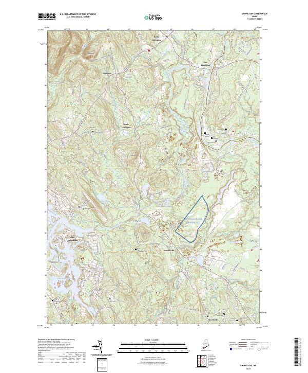 2024 Limington2024 Print · USGSYork County, Maine, is documented here in the early twenty-first century, showing the rural character and family history of the Limington area. Genealogists can find numerous family burial sites like Maple Hill Cem and Earl Gerry Whitehouse Cem near the banks of the Little Ossipee River.
 - 2024 Map of Sebago Lake, 2024 Print
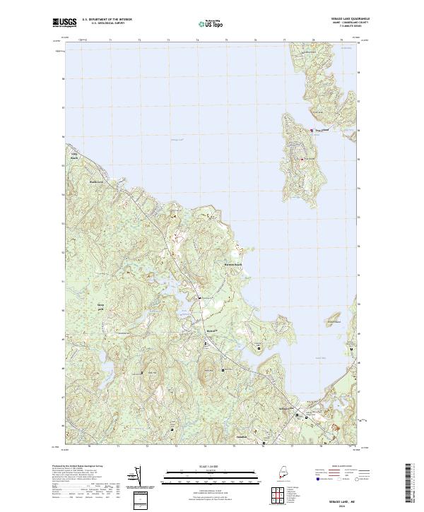 2024 Sebago Lake2024 Print · USGSCumberland County's lakeside landscape is captured here in the contemporary era, showing the developed shores of Sebago Lake and Frye Island. Genealogists can locate numerous small burial sites like Poor Birch Cem and Dolloff Road Cem tucked away near Richville.
 - 2024 Map of Steep Falls, 2024 Print
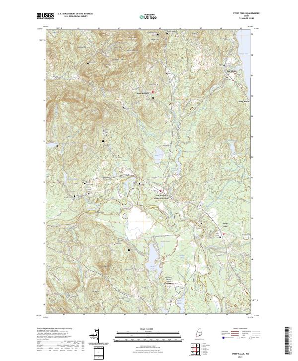 2024 Steep Falls2024 Print · USGSThe Saco River valley and the foothills of the Saddleback Hills come into focus in this contemporary survey of Southern Maine. Local historians can trace family ties through a network of small burial grounds like Larrabee Cem and landmarks such as Mattocks Station.
End of results
Showing maps 1-10 of 10
Top cities near Standish
- Portland historical maps
- South Portland historical maps
- Scarborough historical maps
- Westbrook historical maps
- Saco historical maps
- Windham historical maps
See more
Top neighborhoods of Standish
- Steep Falls historical maps
- Richville historical maps
- Sebago Lake historical maps
- Dow Corner historical maps
- Elmwood historical maps
- Harmon Beach historical maps
See more
Frequently asked questions
- What are the different types of historical maps available for Standish?
- What is the oldest map of Standish?
- Where can I purchase historical maps of Standish for my home or office?
- Where can I download high-res historical maps of Standish?
- Are there historical topographic maps available for Standish?
- Is there historical aerial imagery available for Standish?
- Where are historical maps of Standish sourced from?