2000s (21st Century) Maps of Freeman Township, Maine
Explore 20 historic maps of Freeman Township from the 2000s (21st Century). These maps offer a rare glimpse into what life looked like during the 2000s — showing old roads, neighborhoods, homes, and landmarks that have changed or disappeared over time.
Whether you're researching your family's past, planning a metal detecting trip, or studying how Freeman Township's landscape evolved across the 2000s, these high-resolution maps are a powerful tool for exploring the history of this region.
- Focus on a specific era: All maps on this page are from the 2000s, giving you a focused view of this time period.
- See what’s changed: Compare century-old streets, trails, and buildings to today's modern landscape using overlays and satellite layers.
- Research with precision: Use these maps for genealogy, historical research, land use analysis, or educational projects.
- View, download, or print: Maps are fully viewable online in high resolution, and can be downloaded or printed for your own records.
Start exploring Freeman Township's history through authentic maps from the 2000s. This is your window into the past.
Freeman Township, ME maps
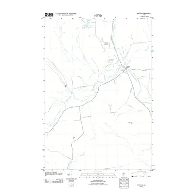
(20)- 2011 Map of Mount Abraham, 2011 Print
 2011 Mount Abraham2011 Print · USGSCovers Freeman Township, including Kingfield, Phillips, and other nearby areas
 - 2011 Map of Strong, 2011 Print
 2011 Strong2011 Print · USGSCovers Freeman Township, including Farmington, Strong, and other nearby areas
 - 2011 Map of Kingfield, 2011 Print
 2011 Kingfield2011 Print · USGSCovers Freeman Township, including Kingfield, New Portland, and other nearby areas
 - 2011 Map of Phillips, 2011 Print
 2011 Phillips2011 Print · USGSCovers Freeman Township, including Strong, Phillips, and other nearby areas
 - 2014 Map of Kingfield, 2014 Print
 2014 Kingfield2014 Print · USGSCovers Freeman Township, including Kingfield, New Portland, and other nearby areas
 - 2014 Map of Strong, 2014 Print
 2014 Strong2014 Print · USGSCovers Freeman Township, including Farmington, Strong, and other nearby areas
 - 2014 Map of Phillips, 2014 Print
 2014 Phillips2014 Print · USGSCovers Freeman Township, including Strong, Phillips, and other nearby areas
 - 2014 Map of Mount Abraham, 2014 Print
 2014 Mount Abraham2014 Print · USGSCovers Freeman Township, including Kingfield, Phillips, and other nearby areas
 - 2018 Map of Mount Abraham, 2018 Print
 2018 Mount Abraham2018 Print · USGSCovers Freeman Township, including Kingfield, Phillips, and other nearby areas
 - 2018 Map of Phillips, 2018 Print
 2018 Phillips2018 Print · USGSCovers Freeman Township, including Strong, Phillips, and other nearby areas
 - 2018 Map of Kingfield, 2018 Print
 2018 Kingfield2018 Print · USGSCovers Freeman Township, including Kingfield, New Portland, and other nearby areas
 - 2018 Map of Strong, 2018 Print
 2018 Strong2018 Print · USGSCovers Freeman Township, including Farmington, Strong, and other nearby areas
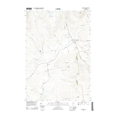
 - 2021 Map of Kingfield, 2021 Print
 2021 Kingfield2021 Print · USGSCovers Freeman Township, including Kingfield, New Portland, and other nearby areas
 - 2021 Map of Strong, 2021 Print
 2021 Strong2021 Print · USGSCovers Freeman Township, including Farmington, Strong, and other nearby areas
 - 2021 Map of Phillips, 2021 Print
 2021 Phillips2021 Print · USGSCovers Freeman Township, including Strong, Phillips, and other nearby areas
 - 2021 Map of Mount Abraham, 2021 Print
 2021 Mount Abraham2021 Print · USGSCovers Freeman Township, including Kingfield, Phillips, and other nearby areas
 - 2024 Map of Phillips, 2024 Print
 2024 Phillips2024 Print · USGSPhillips and the Sandy River valley are captured in this modern survey of central Maine's mountain country. Genealogists can trace family heritage across more than a dozen local sites, including Evergreen Cem, the Knott Burial Plot, and Pease Cem.
 - 2024 Map of Kingfield, 2024 Print
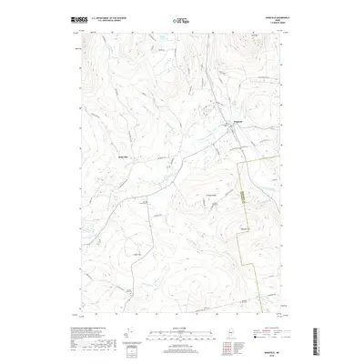
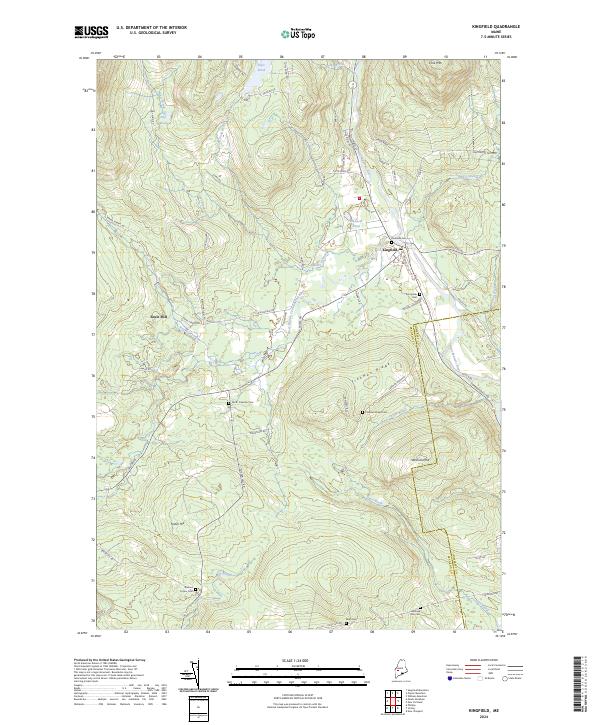 2024 Kingfield2024 Print · USGSThe town of Kingfield and its surrounding river valleys are documented here as they appear in the 2020s. Genealogists can locate several local burial grounds including Riverside Cem and Starbird Corner Cem near landmarks like Soule Mill.
 - 2024 Map of Mount Abraham, 2024 Print
 2024 Mount Abraham2024 Print · USGSThe high Franklin County peaks and the Appalachian National Scenic Trail define this landscape in the early twenty-first century. Genealogists and hikers can trace the rural roads around Salem, locate the Mount Abram Cem, and explore the slopes of Mt Abraham.
 - 2024 Map of Strong, 2024 Print
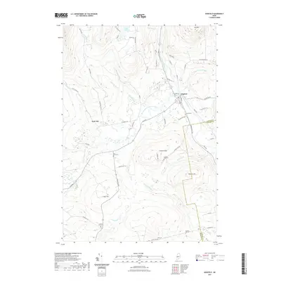
 2024 Strong2024 Print · USGSThe Sandy River valley in Franklin County is captured here in the 2020s, showcasing the village of Strong and the surrounding mountain terrain. Genealogists can locate several family burial grounds, including Cunningham Cates Cem, Pearson Cem, and West Freeman Cem.
End of results
Showing maps 1-20 of 20
Top cities near Freeman Township
- Farmington historical maps
- Wilton historical maps
- Anson historical maps
- New Sharon historical maps
- Strong historical maps
- Kingfield historical maps
See more
Frequently asked questions
- What are the different types of historical maps available for Freeman Township?
- What is the oldest map of Freeman Township?
- Where can I purchase historical maps of Freeman Township for my home or office?
- Where can I download high-res historical maps of Freeman Township?
- Are there historical topographic maps available for Freeman Township?
- Is there historical aerial imagery available for Freeman Township?
- Where are historical maps of Freeman Township sourced from?