Old Maps of T40 MD BPP, Maine for Genealogy
Trace your family roots with 24 historic maps of T40 MD BPP. These high-res maps reveal old neighborhoods, homesites, landmarks, and streets — helping you uncover where your ancestors lived and how the area evolved over time.
- Explore historic neighborhoods: Identify where your relatives may have lived in the 1800s or 1900s.
- Compare maps over time: Trace the changes in streets, buildings, and landmarks for multi-generational research.
- Perfect for genealogy & ancestry research: Used by family historians and researchers to map out lineage and migration.
These maps are an incredible resource for exploring your personal connection to T40 MD BPP's past.
T40 MD BPP, ME maps
(24)- 1931 Map of Saponac
 1931 Saponac1931 Print · USGSThe Maine wilderness of the early thirties is captured here before modern development, spanning the border of Penobscot and Hancock counties. Researchers can trace rural life through the locations of the Greenfield Cemetery, the Morrison Mill, and several district schools like School No 1.
 - 1932 Map of Nicatous Lake
 1932 Nicatous Lake1932 Print · USGSNicatous Lake and the surrounding Maine wilderness are captured here in the early 1930s, when private sporting retreats and seasonal camps dotted the shoreline. Genealogists and local historians can trace specific locations like the Explorers Club, Adler Tavern Camp, and Sullivan Camp.4 unique versions available
 - 1934 Map of Saponac
 1934 Saponac1934 Print · USGSPenobscot County was a landscape of small mill towns and mountain ridges in the 1930s. Researchers can locate early district schools like Longfellow Sch, industrial sites such as Morrison Mill, and family landmarks including Crocker Turn.3 unique versions available
 - 1934 Map of Nicatous Lake
 1934 Nicatous Lake1934 Print · USGSHancock County was a landscape of remote sporting camps and timber trails in the early 1930s. Genealogists and historians can trace old sites like Poplar Tavern Camp, the Nicatous Club, and No 2 Camp set among landmarks like Duck Mtn.4 unique versions available
 - 1954 Map of Millinocket, 1968 Print
 1954 Millinocket1968 Print · USGSMaine's North Woods and the Penobscot Valley are captured here during the mid-century era of logging and rail dominance. You can trace the path of the Bangor and Aroostook Railroad through timber towns like Millinocket, Mattawamkeag, and Silver Ridge.3 unique versions available
 - 1957 Map of Saponac, 1959 Print
 1957 Saponac1959 Print · USGSPenobscot and Hancock counties are shown here in the late fifties, during a period of rural stability in the Maine north woods. Researchers can locate family landmarks like Mt Repose Cem, the Thirty-Nine Tannery, and the Corner Sch in Lowell.4 unique versions available
 - 1958 Map of Millinocket
 1958 Millinocket1958 Print · USGSMaine's North Woods and the Penobscot river valley are captured here in the mid-1950s, showing a landscape of timber, rail, and wild waters. Researchers can trace the legacy of the Canadian Pacific railroad and find historic settlements like Millinocket, Sherman Station, and Mattawamkeag.
 - 1960 Map of Millinocket
 1960 Millinocket1960 Print · USGSThe Maine North Woods and Penobscot River valley are captured at mid-century during the height of the paper milling era. Researchers can trace the Appalachian Trail near Mount Katardin or locate family roots in towns like Dover-Foxcroft and Milo.3 unique versions available
 - 1975 Map of Nicatous Lake SW, 1980 Print
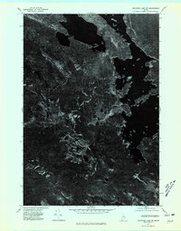 1975 Nicatous Lake SW1980 Print · USGSThe Maine wilderness near Quagus is documented in this 1970s aerial survey, showing the deep woods and interior waterways in a literal photographic view. Researchers can examine the specific timber patterns and natural shoreline of Quagus as they existed decades ago.
 - 1975 Map of Saponac SE, 1980 Print
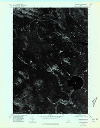 1975 Saponac SE1980 Print · USGSCovers T40 MD BPP, including Great Pond, T39 MD BPP, and other nearby areas
 - 1985 Map of Lincoln, 1994 Print
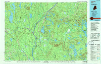 1985 Lincoln1994 Print · USGSPenobscot County in the mid-eighties remains a landscape of river-based commerce and sprawling timberlands connected by rail. You can trace the historic paths of the Maine Central RR and Canadian Pacific RR or locate rural sites like Enfield Station and the Winn Cem.
 - 1986 Map of Lincoln
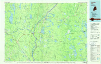 1986 Lincoln1986 Print · USGSMid-century Maine settlement and industry converge along the Penobscot and Piscataquis rivers during the 1980s. Researchers can trace the rail networks of the Maine Central and Bangor and Aroostook through towns like Howland and Milo.
 - 1987 Map of West Lake, 1988 Print
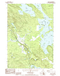 1987 West Lake1988 Print · USGSHancock County's interior wilderness was a maze of timberlands and glacial lakes in the 1980s. Local historians and sportsmen can trace seasonal landmarks and remote waterways like the Nicatous Club, Eagle Lake, and the islands of Nicatous Lake.
 - 1988 Map of Brandy Pond
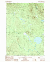 1988 Brandy Pond1988 Print · USGSThe northern Maine interior in the late eighties reveals a dense network of drainage and elevation along the Penobscot and Hancock county line. Trace the remote trails and water routes surrounding Brandy Pond, Lord Mountain, and the isolated Gravel Pit.
 - 2011 Map of Brandy Pond, 2011 Print
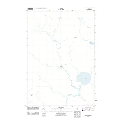 2011 Brandy Pond2011 Print · USGSHancock County’s remote timberlands and waterways are meticulously charted in this early twenty-first-century survey. Trace historical industrial sites like Thirty-Nine Tannery and natural landmarks such as Brandy Pond, Lord Mountain, and Buffalo Stream.
 - 2011 Map of West Lake, 2011 Print
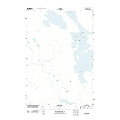 2011 West Lake2011 Print · USGSHancock County's interior wilderness is captured here in the early twenty-first century, showcasing a landscape of interconnected glacial lakes and ridges. Researchers can trace the drainage patterns of Nicatous Lake and find remote landmarks like Cranberry Island and Morrison Ridge.
 - 2014 Map of West Lake, 2014 Print
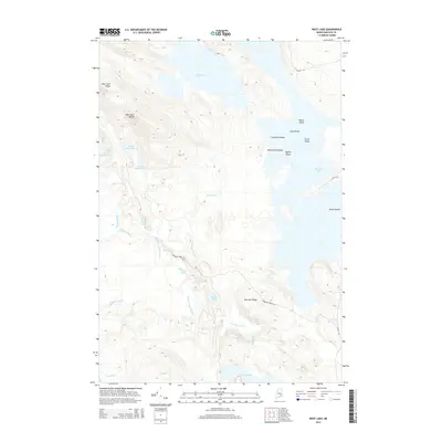 2014 West Lake2014 Print · USGSHancock County’s lake country is captured here in the early twenty-first century, showing a remote landscape of interconnected waterways and timber ridges. Researchers can trace the drainage of Guagus Stream and locate named features like Crystal Pond and Morrison Ridge.
 - 2014 Map of Brandy Pond, 2014 Print
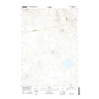 2014 Brandy Pond2014 Print · USGSThe Hancock and Penobscot county line divides this timberland region in the early twenty-first century, showing a landscape defined by ridges and waterways. Researchers can trace land use through naming patterns on Lord Mountain, Brandy Pond, and the network of numbered routes like 24-20-76 Rd.
 - 2018 Map of West Lake, 2018 Print
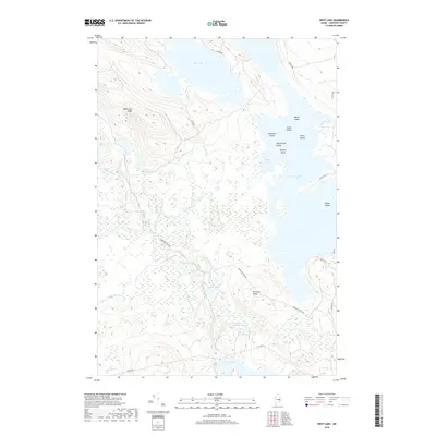 2018 West Lake2018 Print · USGSHancock County’s lakelands are shown here in the late 2010s, mapping the complex shoreline of Nicatous Lake and West Lake. Researchers can trace the network of interior roads like Morrison Ridge Rd and locate secluded spots such as Loon Pond or Moose Cove.
 - 2018 Map of Brandy Pond, 2018 Print
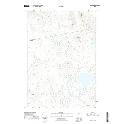 2018 Brandy Pond2018 Print · USGSThe border of Penobscot and Hancock Counties is captured here in the late twenty-teens, showing a landscape dominated by timberlands and glacial watercourses. Researchers can trace the drainage of Buffalo Stream or locate isolated landmarks like Lord Mtn and Brandy Pond.
 - 2021 Map of West Lake, 2021 Print
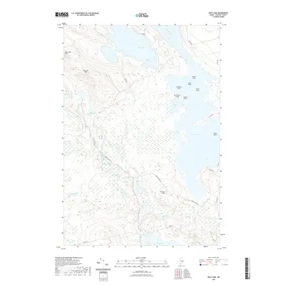 2021 West Lake2021 Print · USGSHancock County’s lakeland interior is documented here in the early twenty-first century, showing a region defined by its complex waterways. Researchers can trace the timber and access routes along Morrison Ridge Rd and identify specific islands like Cranberry Island and Butterfield Island.
 - 2021 Map of Brandy Pond, 2021 Print
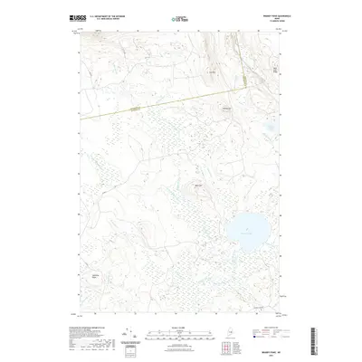 2021 Brandy Pond2021 Print · USGSThe border of Penobscot and Hancock counties comes to life in this modern survey of the Maine woods. Trace the remote drainages of Buffalo Stream and Pug Hole Brook as they wind past Lord Mtn toward the waters of Brandy Pond.
 - 2024 Map of West Lake, 2024 Print
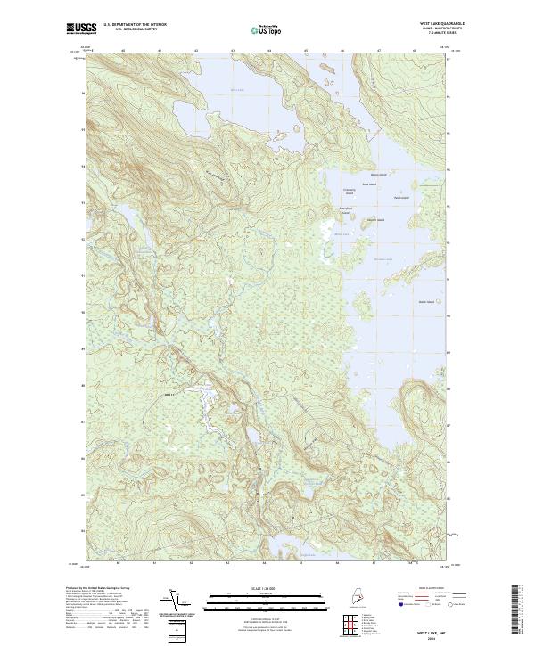 2024 West Lake2024 Print · USGSThe interior woodlands and waters of Hancock County are shown in this recent survey. Local researchers can trace the shorelines of Nicatous Lake and West Lake or locate remote landmarks like Morrison Ridge and Loon Pond.
 - 2024 Map of Brandy Pond, 2024 Print
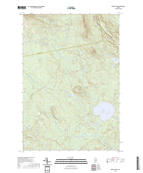 2024 Brandy Pond2024 Print · USGSThe borderlands of Penobscot and Hancock Counties are shown here in recent years, revealing a landscape of high ridges and intricate waterways. Trace the drainage of Brandy Pond and identify local heights like Passadumkeag Mtn and Baker Hill.
End of results
Showing maps 1-24 of 24
Top cities near T40 MD BPP
- Lincoln historical maps
- Burlington historical maps
- Lowell historical maps
- Amherst historical maps
- Lakeville historical maps
- Aurora historical maps
See more
Frequently asked questions
- What are the different types of historical maps available for T40 MD BPP?
- What is the oldest map of T40 MD BPP?
- Where can I purchase historical maps of T40 MD BPP for my home or office?
- Where can I download high-res historical maps of T40 MD BPP?
- Are there historical topographic maps available for T40 MD BPP?
- Is there historical aerial imagery available for T40 MD BPP?
- Where are historical maps of T40 MD BPP sourced from?