2000s (21st Century) Maps of T7 SD BPP Township, Maine
Explore 15 historic maps of T7 SD BPP Township from the 2000s (21st Century). These maps offer a rare glimpse into what life looked like during the 2000s — showing old roads, neighborhoods, homes, and landmarks that have changed or disappeared over time.
Whether you're researching your family's past, planning a metal detecting trip, or studying how T7 SD BPP Township's landscape evolved across the 2000s, these high-resolution maps are a powerful tool for exploring the history of this region.
- Focus on a specific era: All maps on this page are from the 2000s, giving you a focused view of this time period.
- See what’s changed: Compare century-old streets, trails, and buildings to today's modern landscape using overlays and satellite layers.
- Research with precision: Use these maps for genealogy, historical research, land use analysis, or educational projects.
- View, download, or print: Maps are fully viewable online in high resolution, and can be downloaded or printed for your own records.
Start exploring T7 SD BPP Township's history through authentic maps from the 2000s. This is your window into the past.
T7 SD BPP Township, ME maps
(15)- 2011 Map of Cherryfield, 2011 Print
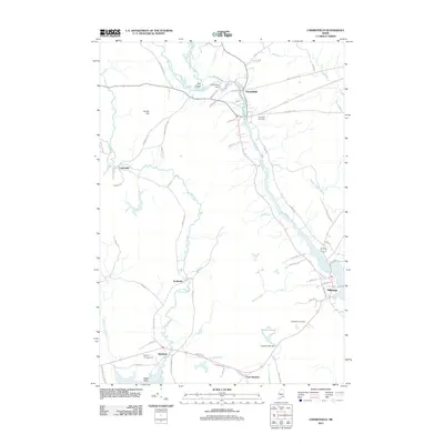 2011 Cherryfield2011 Print · USGSCovers T7 SD BPP Township, including Gouldsboro, Milbridge, and other nearby areas
 - 2011 Map of Winter Harbor, 2011 Print
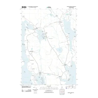 2011 Winter Harbor2011 Print · USGSCovers T7 SD BPP Township, including Gouldsboro, Sullivan, and other nearby areas
 - 2011 Map of Tunk Lake, 2011 Print
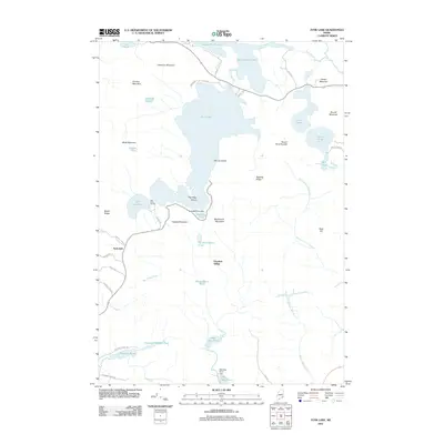 2011 Tunk Lake2011 Print · USGSCovers T7 SD BPP Township, including Gouldsboro, Sullivan, and other nearby areas
 - 2014 Map of Winter Harbor, 2014 Print
 2014 Winter Harbor2014 Print · USGSCovers T7 SD BPP Township, including Gouldsboro, Sullivan, and other nearby areas
 - 2014 Map of Tunk Lake, 2014 Print
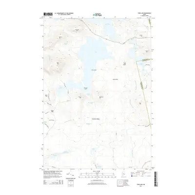 2014 Tunk Lake2014 Print · USGSCovers T7 SD BPP Township, including Gouldsboro, Sullivan, and other nearby areas
 - 2014 Map of Cherryfield, 2014 Print
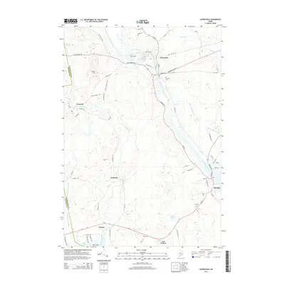 2014 Cherryfield2014 Print · USGSCovers T7 SD BPP Township, including Gouldsboro, Milbridge, and other nearby areas
 - 2018 Map of Tunk Lake, 2018 Print
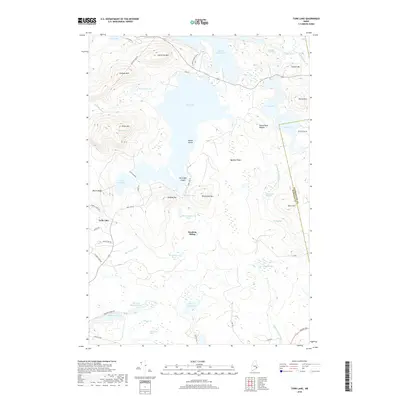 2018 Tunk Lake2018 Print · USGSCovers T7 SD BPP Township, including Gouldsboro, Sullivan, and other nearby areas
 - 2018 Map of Cherryfield, 2018 Print
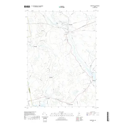 2018 Cherryfield2018 Print · USGSCovers T7 SD BPP Township, including Gouldsboro, Milbridge, and other nearby areas
 - 2018 Map of Winter Harbor, 2018 Print
 2018 Winter Harbor2018 Print · USGSCovers T7 SD BPP Township, including Gouldsboro, Sullivan, and other nearby areas
 - 2021 Map of Cherryfield, 2021 Print
 2021 Cherryfield2021 Print · USGSCovers T7 SD BPP Township, including Gouldsboro, Milbridge, and other nearby areas
 - 2021 Map of Winter Harbor, 2021 Print
 2021 Winter Harbor2021 Print · USGSCovers T7 SD BPP Township, including Gouldsboro, Sullivan, and other nearby areas
 - 2021 Map of Tunk Lake, 2021 Print
 2021 Tunk Lake2021 Print · USGSCovers T7 SD BPP Township, including Gouldsboro, Sullivan, and other nearby areas
 - 2024 Map of Cherryfield, 2024 Print
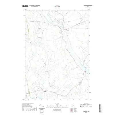
 2024 Cherryfield2024 Print · USGSCoastal Washington County comes into focus in this contemporary survey of the river valleys and harbors. Researchers can trace local lineage at Evergreen Cem or map the inland settlements of Unionville and Smithville along the Narraguagus River.
 - 2024 Map of Tunk Lake, 2024 Print
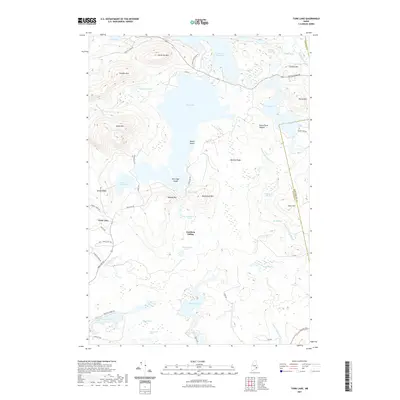
 2024 Tunk Lake2024 Print · USGSHancock County's rugged interior is captured here in the 2020s, showing a wilderness defined by massive granite peaks and deep glacial lakes. Researchers can trace the layout of Goodwin Siding, family-named roads like Emerson Preble Rd, and the remote heights of Blackwood Mtn.
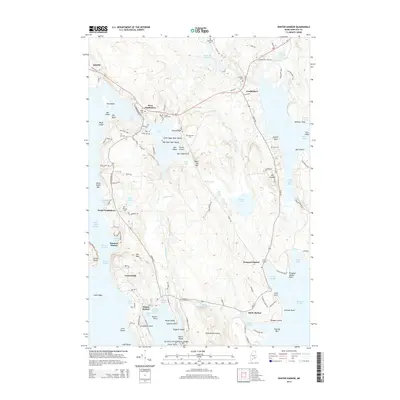
 - 2024 Map of Winter Harbor, 2024 Print
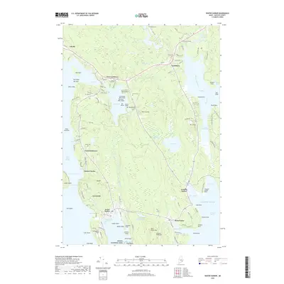
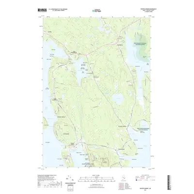
 2024 Winter Harbor2024 Print · USGSThe Maine coast near Winter Harbor and the Schoodic Peninsula comes to life in this detailed modern survey. Genealogists can trace family legacies through numerous local burial sites like Nahum Jones Cem, Greenwood Cem, and Whitaker Cem.
End of results
Showing maps 1-15 of 15
Top cities near T7 SD BPP Township
- Bar Harbor historical maps
- Hancock historical maps
- Mount Desert historical maps
- Southwest Harbor historical maps
- Lamoine historical maps
- Gouldsboro historical maps
See more
Top neighborhoods of T7 SD BPP Township
Frequently asked questions
- What are the different types of historical maps available for T7 SD BPP Township?
- What is the oldest map of T7 SD BPP Township?
- Where can I purchase historical maps of T7 SD BPP Township for my home or office?
- Where can I download high-res historical maps of T7 SD BPP Township?
- Are there historical topographic maps available for T7 SD BPP Township?
- Is there historical aerial imagery available for T7 SD BPP Township?
- Where are historical maps of T7 SD BPP Township sourced from?