Old Maps of Goodwin Siding, T7 SD BPP Township for Academic Research
Study the evolution of Goodwin Siding with 16 high-resolution historic maps. Whether you're teaching, researching, or modeling changes in land use, these maps provide essential visual documentation of urban, environmental, and geographic change.
- Analyze long-term change: Track patterns in development, transportation, and natural features.
- Ideal for environmental or urban studies: Support academic projects with primary historical map data.
- Use in the classroom or lab: Educators and researchers rely on these maps to bring historical context to life.
These maps are a powerful tool for teaching, research, and visualizing how Goodwin Siding has changed over the decades.
Goodwin Siding, T7 SD BPP Township maps
(16)- 1930 Map of Tunk Lake
 1930 Tunk Lake1930 Print · USGSHancock County was a landscape of timber and tide in the early 1930s, where the Maine Central rail line linked small coastal villages to the deep woods. Genealogists and historians can trace old homesteads in Donnells, rural education at Tunk Lake Sch, and the locations of sporting retreats like the Wichyup Club.
 - 1932 Map of Tunk Lake
 1932 Tunk Lake1932 Print · USGSThe coastal inlets and glacial highlands of Hancock County are meticulously detailed in the early 1930s. Researchers can trace the Maine Central rail line through Sullivan and locate vanished local landmarks like the Think Lake Sch and Wickypup Club.4 unique versions available
 - 1942 Map of Tunk Lake
 1942 Tunk Lake1942 Print · USGSHancock County’s inland peaks and coastal villages are captured here during the early 1940s, just as aerial photography began to modernize regional mapping. Researchers can locate the Tunk Lake Sch, coastal rail stops at Waukeag, and the prominent Fire Tower on Schoodic Mtn.
 - 1948 Map of Bangor
 1948 Bangor1948 Print · USGSThe Maine coast and its industrial river valleys are captured here shortly after the war, showing the vital shipping and rail hubs of the late 1940s. Genealogists and historians can trace the tracks of the Maine Central RR connecting Bangor, Augusta, and Old Town.
 - 1956 Map of Bangor, 1966 Print
 1956 Bangor1966 Print · USGSMid-century Maine comes alive in this survey of the rugged coast and river valleys during the 1950s. Genealogists and historians can trace the vital rail corridors of the Maine Central RR connecting timber towns like Old Town to the coast at Bar Harbor.3 unique versions available
 - 1957 Map of Tunk Lake, 1959 Print
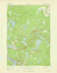 1957 Tunk Lake1959 Print · USGSCoastal Maine in the late 1950s shows a landscape defined by the Maine Central RR and tidal waters like Hog Bay. Local historians can trace family locations near Bayview Cem, the Union Ch, and settlements from Deblois to East Sullivan.4 unique versions available
 - 1960 Map of Bangor
 1960 Bangor1960 Print · USGSCentral Maine in the sixties reveals a landscape of river-powered industry and sprawling coastal island chains. Researchers can trace the rail corridors of the Maine Central or locate mid-century aviation landmarks like Dow Air Force Base.
 - 1961 Map of Bangor
 1961 Bangor1961 Print · USGSMid-century Maine comes alive through its busy river ports and rocky archipelagoes during a period of steady maritime and rail commerce. Researchers can trace the path of the Maine Central railroad and locate coastal landmarks from Acadia National Park to Vinalhaven Island.
 - 1982 Map of Tunk Lake, 1983 Print
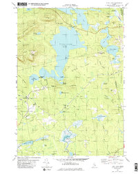 1982 Tunk Lake1983 Print · USGSHancock and Washington Counties are captured in the early 1980s, centered on the vast waters of Tunk Lake. Researchers can trace the path of the Maine Central railroad and locate historical sites like Big Chief Camps or Goodwin Siding.
 - 1985 Map of Bangor
 1985 Bangor1985 Print · USGSMid-Maine during the mid-eighties centers on the industrial pulse of the Penobscot River and its critical rail connections. Genealogists and historians can trace the development of river towns from Old Town to Ellsworth and locate regional landmarks like Fort Knox State Park.
 - 1994 Map of Bangor
 1994 Bangor1994 Print · USGSThe Penobscot River valley and the coastal highlands of eastern Maine are captured here in the mid-1990s. Researchers can trace the industrial rail corridors of the Maine Central Railroad or explore the landscape around Old Town, Bucksport, and Graham Lake.
 - 2011 Map of Tunk Lake, 2011 Print
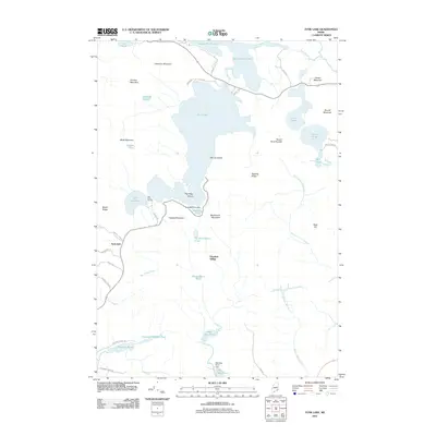 2011 Tunk Lake2011 Print · USGSGouldsboro and the interior of Hancock County are shown here in the early twenty-first century, a landscape of high peaks and freshwater lakes. Researchers can locate remote seasonal sites like Big Chief Camps and industrial remnants at Goodwin Siding or the Barbless Pond Dam.
 - 2014 Map of Tunk Lake, 2014 Print
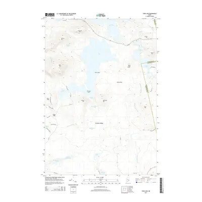 2014 Tunk Lake2014 Print · USGSCoastal Hancock County and the Washington County border appear here in the early twenty-first century, defined by a series of deep glacial lakes. Researchers can trace the drainage of Tunk Lake and locate specific sites like Goodwin Siding and Mouse Island.
 - 2018 Map of Tunk Lake, 2018 Print
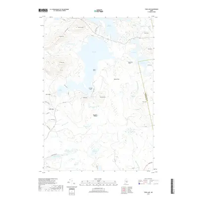 2018 Tunk Lake2018 Print · USGSGouldsboro and the Hancock County interior are shown here in the late 2010s, a landscape defined by glacial lakes and prominent granite ridges. Researchers can trace historical access points like Goodwin Siding or explore the rugged shorelines of Tunk Lake and Spring River Lake.
 - 2021 Map of Tunk Lake, 2021 Print
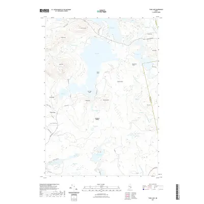 2021 Tunk Lake2021 Print · USGSCoastal Maine's interior pond and mountain country is shown here in the early twenty-first century, spanning the border of Hancock and Washington counties. Genealogists and hikers can trace local landmarks like Goodwin Siding or explore the terrain around Catherine Mtn and Tunk Lake.
 - 2024 Map of Tunk Lake, 2024 Print
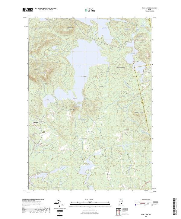 2024 Tunk Lake2024 Print · USGSHancock County's rugged interior is captured here in the 2020s, showing a wilderness defined by massive granite peaks and deep glacial lakes. Researchers can trace the layout of Goodwin Siding, family-named roads like Emerson Preble Rd, and the remote heights of Blackwood Mtn.
End of results
Showing maps 1-16 of 16
Top cities near Goodwin Siding
- Bar Harbor historical maps
- Hancock historical maps
- Mount Desert historical maps
- Southwest Harbor historical maps
- Lamoine historical maps
- Gouldsboro historical maps
See more
Frequently asked questions
- What are the different types of historical maps available for Goodwin Siding?
- What is the oldest map of Goodwin Siding?
- Where can I purchase historical maps of Goodwin Siding for my home or office?
- Where can I download high-res historical maps of Goodwin Siding?
- Are there historical topographic maps available for Goodwin Siding?
- Is there historical aerial imagery available for Goodwin Siding?
- Where are historical maps of Goodwin Siding sourced from?