Old Maps of Trenton, Maine for Hiking & Exploration
Hike through history with 38 historic maps of Trenton. Explore old trails, ghost towns, and forgotten backroads — perfect for outdoor adventurers and local explorers.
- Rediscover forgotten places: Map out old mining camps, roads, and footpaths that no longer exist on modern maps.
- Layer with modern tools: Combine with LiDAR or satellite views to plan hikes through historical terrain.
- Made for exploration: Popular among hikers, overlanders, and local history lovers.
Use these maps to find adventure and explore the hidden past of Trenton.
Trenton, ME maps
(38)- 1904 Map of Mount Desert
 1904 Mount Desert1904 Print · USGSMount Desert Island and the surrounding Hancock County coastline appear here at the height of the steamship era. Researchers can trace historic shorelines from Northeast Harbor to Southwest Harbor or locate vanished sites like the U.S. Coaling Station.5 unique versions available
 - 1911 Map of Ellsworth
 1911 Ellsworth1911 Print · USGSCoastal Hancock County at the turn of the century shows a landscape of busy rail junctions and remote plantation schools. Genealogists can trace family names at Washington Junction or locate the old Beechland School and Morrison School.5 unique versions available
 - 1940 Map of Ellsworth, 1957 Print
 1940 Ellsworth1957 Print · USGSHancock County at the start of the 1940s reveals a landscape of tidal bays and timbered ridges surrounding the hub of Ellsworth. Genealogists and local historians can trace rail lines at Washington Junction, find rural schoolhouses like Beechland Sch, and locate the old Franklin Road North Hancock Post Office.
 - 1942 Map of Ellsworth
 1942 Ellsworth1942 Print · USGSHancock County enters the early years of the war with its rail and river networks fully matured. Genealogists and historians can trace the foundations of local life through rural landmarks like the No 8 Plantation Sch, the rail hub at Washington Junction, and the post office at North Hancock P O.
 - 1942 Map of Mount Desert
 1942 Mount Desert1942 Print · USGSMount Desert Island and the surrounding Maine coast appear here just as the war began, showing the interplay of maritime life and early conservation. Genealogists can locate family landmarks like South Surry Cem and long-standing schools such as Bayside Sch or The Narrows Sch.5 unique versions available
 - 1948 Map of Bangor
 1948 Bangor1948 Print · USGSThe Maine coast and its industrial river valleys are captured here shortly after the war, showing the vital shipping and rail hubs of the late 1940s. Genealogists and historians can trace the tracks of the Maine Central RR connecting Bangor, Augusta, and Old Town.
 - 1956 Map of Mount Desert, 1960 Print
 1956 Mount Desert1960 Print · USGSMount Desert Island and the surrounding Maine coast are shown here in the mid-fifties, before modern expansion altered the local landscape. Genealogists and historians can trace coastal heritage through landmarks like Somesville, Federated Ch, and family sites like Marlboro Cem.4 unique versions available
 - 1956 Map of Bangor, 1966 Print
 1956 Bangor1966 Print · USGSMid-century Maine comes alive in this survey of the rugged coast and river valleys during the 1950s. Genealogists and historians can trace the vital rail corridors of the Maine Central RR connecting timber towns like Old Town to the coast at Bar Harbor.3 unique versions available
 - 1957 Map of Ellsworth, 1959 Print
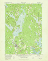 1957 Ellsworth1959 Print · USGSHancock County at the end of the fifties shows the critical transition from rail-dependent industry to the modern highway era. Researchers can trace historic family burial sites and rural schoolhouses, including Hillside Cem, Stetson Sch, and the junctions of the Maine Central Railroad.3 unique versions available
 - 1960 Map of Bangor
 1960 Bangor1960 Print · USGSCentral Maine in the sixties reveals a landscape of river-powered industry and sprawling coastal island chains. Researchers can trace the rail corridors of the Maine Central or locate mid-century aviation landmarks like Dow Air Force Base.
 - 1961 Map of Bangor
 1961 Bangor1961 Print · USGSMid-century Maine comes alive through its busy river ports and rocky archipelagoes during a period of steady maritime and rail commerce. Researchers can trace the path of the Maine Central railroad and locate coastal landmarks from Acadia National Park to Vinalhaven Island.
 - 1981 Map of Salsbury Cove
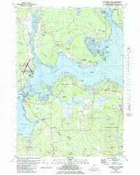 1981 Salsbury Cove1981 Print · USGSHancock County's coastline meets the northern reaches of Mount Desert Island in the early 1980s. Local researchers can trace family landmarks and coastal hamlets like Salsbury Cove, Lamoine Corner, and the rural Mtn View Ch.2 unique versions available
 - 1981 Map of Ellsworth, 1982 Print
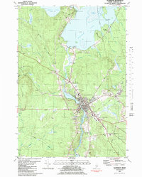 1981 Ellsworth1982 Print · USGSThe riverfront and rail lines of this Hancock County hub were well-established by the early eighties. Genealogists and local historians can trace the foundations of Ellsworth through its community landmarks, from the Juniper Cem to the Maine Central RR tracks.
 - 1981 Map of Newbury Neck, 1982 Print
 1981 Newbury Neck1982 Print · USGSCoastal Hancock County at the start of the 1980s reveals a landscape of wooded peninsulas and traditional shoreline communities. Genealogists can locate family burial grounds like Whittemore Cem and trace old roads through South Surry and West Trenton.
 - 1981 Map of Hancock, 1982 Print
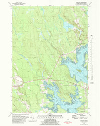 1981 Hancock1982 Print · USGSCoastal Hancock County and the Taunton Bay shoreline appear in detail during the early eighties as the local economy balanced rail transport and maritime life. Genealogists and researchers can trace family landmarks like Abbott Cem, the Hancock Sch, and the winding path of the Maine Central Railroad.
 - 1985 Map of Bangor
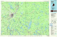 1985 Bangor1985 Print · USGSMid-Maine during the mid-eighties centers on the industrial pulse of the Penobscot River and its critical rail connections. Genealogists and historians can trace the development of river towns from Old Town to Ellsworth and locate regional landmarks like Fort Knox State Park.
 - 1985 Map of Bar Harbor
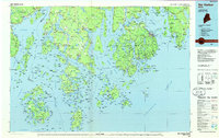 1985 Bar Harbor1985 Print · USGSCoastal Hancock County in the mid-eighties shows an intricate landscape of island communities and protected wilderness. Trace the boundaries of Acadia National Park or locate seafaring hubs like Stonington and Bar Harbor.2 unique versions available
 - 1994 Map of Bangor
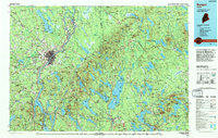 1994 Bangor1994 Print · USGSThe Penobscot River valley and the coastal highlands of eastern Maine are captured here in the mid-1990s. Researchers can trace the industrial rail corridors of the Maine Central Railroad or explore the landscape around Old Town, Bucksport, and Graham Lake.
 - 2011 Map of Salsbury Cove, 2011 Print
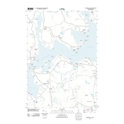 2011 Salsbury Cove2011 Print · USGSMount Desert Island and the Lamoine peninsula meet in this early 2010s survey of the Narrows and Eastern Bay. Genealogists and local historians can locate several family burial grounds like Mountain View Cemetery and trace the roads connecting Town Hill to Hulls Cove.
 - 2011 Map of Newbury Neck, 2011 Print
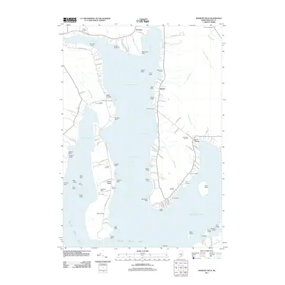 2011 Newbury Neck2011 Print · USGSCoastal Hancock County at the turn of the decade is defined by the long peninsula of Newbury Neck and its surrounding bays. Researchers can trace family history through numerous burial sites like Whittemore Cemetery and Bayview Cemetery near South Surry.
 - 2011 Map of Ellsworth, 2011 Print
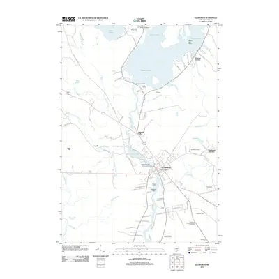 2011 Ellsworth2011 Print · USGSEllsworth and the Union River valley appear here in detail during the early 21st century. Genealogists and historians can locate several family cemeteries, including Old Burying Ground and Remick Cemetery, along with the Washington Junction rail site.
 - 2011 Map of Hancock, 2011 Print
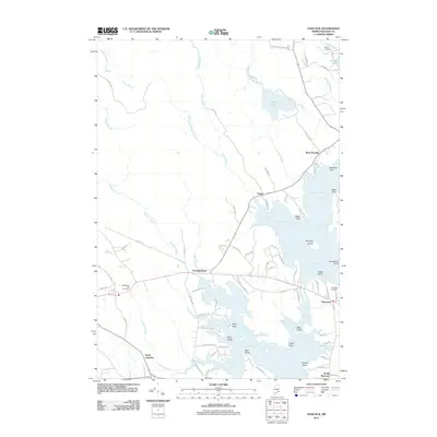 2011 Hancock2011 Print · USGSCoastal Hancock County at the start of the twenty-first century reveals a landscape defined by tidal inlets and maritime heritage. Researchers can trace family sites and local history through Riverside Cemetery, McFarland Hill Cemetery, and the old lanes around Taunton Bay.
 - 2014 Map of Hancock, 2014 Print
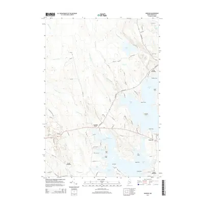 2014 Hancock2014 Print · USGSThe coastal settlements of Hancock County are shown in great detail during the early twenty-first century. Genealogists can trace family locations near Abbott Cem or Riverside Cem, while collectors can study the shoreline of Taunton Bay and Egypt Bay.
 - 2014 Map of Ellsworth, 2014 Print
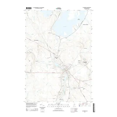 2014 Ellsworth2014 Print · USGSCoastal Maine's commercial and industrial character is centered on the river at the start of the twenty-first century. Genealogists can locate several historic burial sites like Old Burying Ground Cem and Woodbine Cem, while following the rail history at Washington Junction.
 - 2014 Map of Newbury Neck, 2014 Print
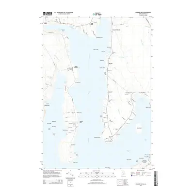 2014 Newbury Neck2014 Print · USGSCoastal Hancock County life at the start of the 21st century centers on the long reach of Newbury Neck and the waters of Western Bay. Genealogists can trace family heritage through numerous burial grounds like Haskell Cem and the Oak Point Cemeteries.
Showing maps 1-25 of 38
Top cities near Trenton
- Ellsworth historical maps
- Bar Harbor historical maps
- Blue Hill historical maps
- Hancock historical maps
- Orland historical maps
- Deer Isle historical maps
See more
Top neighborhoods of Trenton
Frequently asked questions
- What are the different types of historical maps available for Trenton?
- What is the oldest map of Trenton?
- Where can I purchase historical maps of Trenton for my home or office?
- Where can I download high-res historical maps of Trenton?
- Are there historical topographic maps available for Trenton?
- Is there historical aerial imagery available for Trenton?
- Where are historical maps of Trenton sourced from?