2020s Maps of Augusta, Maine
Explore 8 historic maps of Augusta from the 2020s. These maps offer a rare glimpse into what life looked like during the 2020s — showing old roads, neighborhoods, homes, and landmarks that have changed or disappeared over time.
Whether you're researching your family's past, planning a metal detecting trip, or studying how Augusta's landscape evolved across the 2020s, these high-resolution maps are a powerful tool for exploring the history of this region.
- Focus on a specific era: All maps on this page are from the 2020s, giving you a focused view of this time period.
- See what’s changed: Compare century-old streets, trails, and buildings to today's modern landscape using overlays and satellite layers.
- Research with precision: Use these maps for genealogy, historical research, land use analysis, or educational projects.
- View, download, or print: Maps are fully viewable online in high resolution, and can be downloaded or printed for your own records.
Start exploring Augusta's history through authentic maps from the 2020s. This is your window into the past.
Augusta, ME maps
(8)- 2021 Map of Vassalboro, 2021 Print
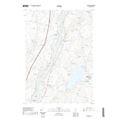 2021 Vassalboro2021 Print · USGSCovers Augusta, including Winslow, Sidney, and other nearby areas
 - 2021 Map of Belgrade, 2021 Print
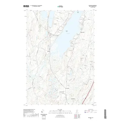 2021 Belgrade2021 Print · USGSCovers Augusta, including Sidney, Belgrade, and other nearby areas
 - 2021 Map of Augusta, 2021 Print
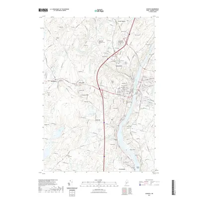 2021 Augusta2021 Print · USGSCovers Augusta, including West Gardiner, Farmingdale, and other nearby areas
 - 2021 Map of Togus Pond, 2021 Print
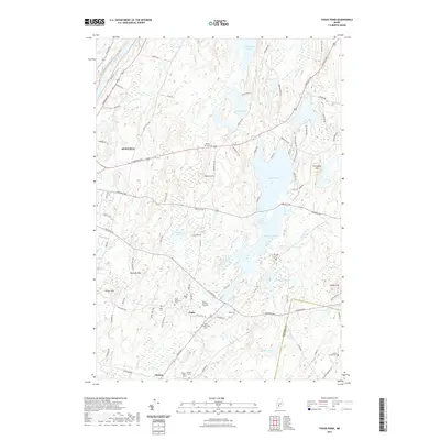 2021 Togus Pond2021 Print · USGSCovers Augusta, including Vassalboro, Chelsea, and other nearby areas
 - 2024 Map of Togus Pond, 2024 Print
 2024 Togus Pond2024 Print · USGSThe outskirts of Augusta and the veteran community of Togus are captured here in 2024, highlighting a landscape of river valleys and glacial ponds. Researchers can trace local lineage through numerous burial sites, including the Togus National Cem East, Mud Mill Cem, and James Preble Cem.
 - 2024 Map of Belgrade, 2024 Print
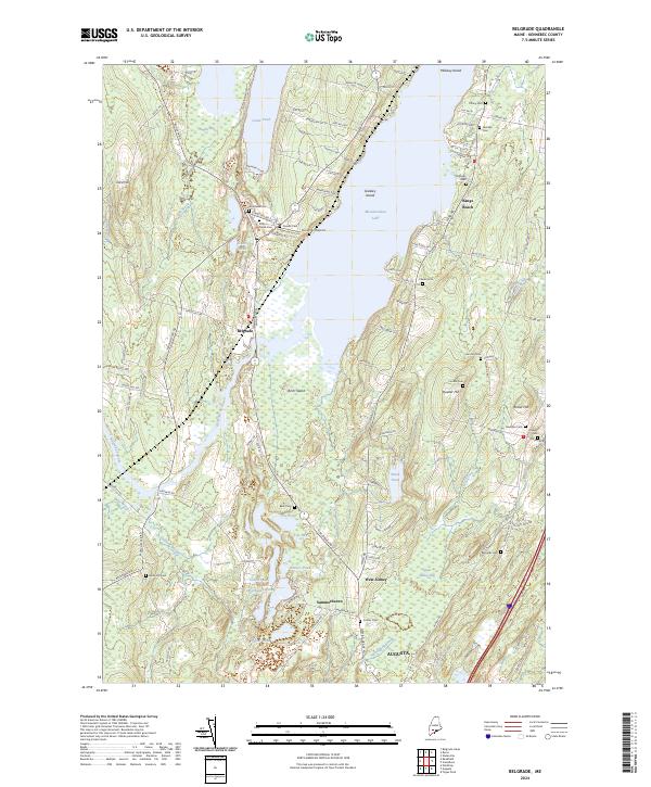 2024 Belgrade2024 Print · USGSBelgrade and the surrounding Kennebec County lakelands are captured here in the contemporary era, showing a landscape shaped by vast water bodies and old family homesteads. Researchers can locate numerous local landmarks like Sunny Hill Airport, Quaker Hill, and several historic burial sites such as Friends Cem and Cottles Cem.
 - 2024 Map of Vassalboro, 2024 Print
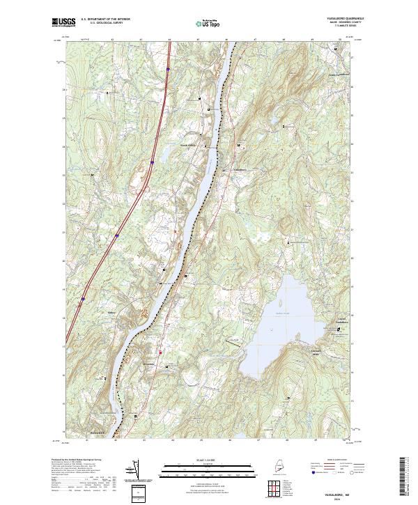 2024 Vassalboro2024 Print · USGSThe Kennebec River valley and Webber Pond area are shown in this modern survey of central Maine. Genealogists and historians can locate numerous small burial grounds like Bangs Cem and Sibley Cem alongside settlements at Riverside and North Sidney.
 - 2024 Map of Augusta, 2024 Print
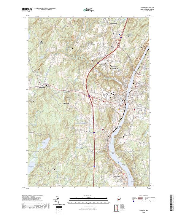 2024 Augusta2024 Print · USGSThe Maine state capital and its neighboring riverfront towns are documented in this contemporary survey of the Kennebec valley. Researchers can locate numerous local landmarks including Augusta State Airport, the Hallowell Cem, and the State of Maine Burial Ground.
End of results
Showing maps 1-8 of 8
Top cities near Augusta
- Waterville historical maps
- Winslow historical maps
- Oakland historical maps
- Winthrop historical maps
- Gardiner historical maps
- Sidney historical maps
See more
Top neighborhoods of Augusta
- Capital Villiage historical maps
- Hartford Square historical maps
- Riverside Drive Village historical maps
- Market Square historical maps
- Sand Hill/Cushnoc Heights historical maps
- North Augusta historical maps
See more
Frequently asked questions
- What are the different types of historical maps available for Augusta?
- What is the oldest map of Augusta?
- Where can I purchase historical maps of Augusta for my home or office?
- Where can I download high-res historical maps of Augusta?
- Are there historical topographic maps available for Augusta?
- Is there historical aerial imagery available for Augusta?
- Where are historical maps of Augusta sourced from?