2000s (21st Century) Maps of Cushing, Maine
Explore 20 historic maps of Cushing from the 2000s (21st Century). These maps offer a rare glimpse into what life looked like during the 2000s — showing old roads, neighborhoods, homes, and landmarks that have changed or disappeared over time.
Whether you're researching your family's past, planning a metal detecting trip, or studying how Cushing's landscape evolved across the 2000s, these high-resolution maps are a powerful tool for exploring the history of this region.
- Focus on a specific era: All maps on this page are from the 2000s, giving you a focused view of this time period.
- See what’s changed: Compare century-old streets, trails, and buildings to today's modern landscape using overlays and satellite layers.
- Research with precision: Use these maps for genealogy, historical research, land use analysis, or educational projects.
- View, download, or print: Maps are fully viewable online in high resolution, and can be downloaded or printed for your own records.
Start exploring Cushing's history through authentic maps from the 2000s. This is your window into the past.
Cushing, ME maps
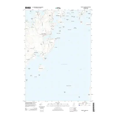
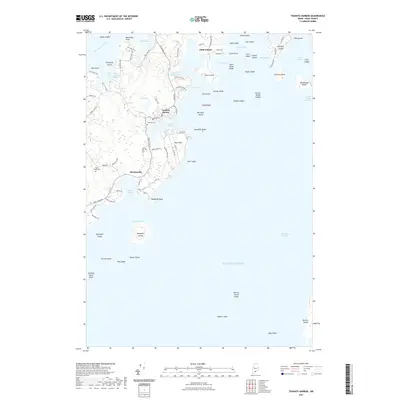
(20)- 2011 Map of Tenants Harbor, 2011 Print
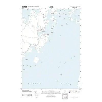 2011 Tenants Harbor2011 Print · USGSCovers Cushing, including Saint George, South Thomaston, and other nearby areas
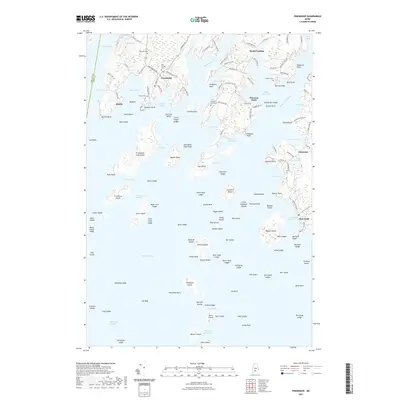
 - 2011 Map of Friendship, 2011 Print
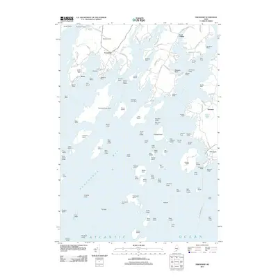 2011 Friendship2011 Print · USGSCovers Cushing, including Saint George, Friendship, and other nearby areas
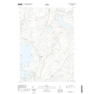
 - 2011 Map of Waldoboro East, 2011 Print
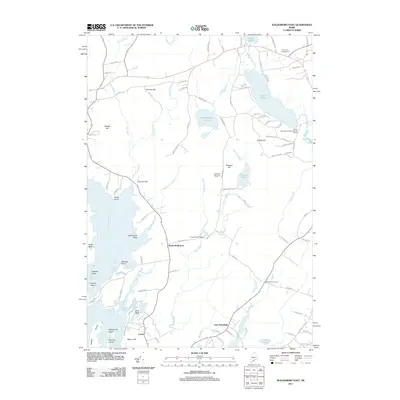 2011 Waldoboro East2011 Print · USGSCovers Cushing, including Warren, Waldoboro, and other nearby areas
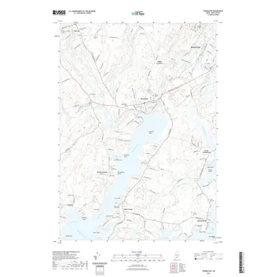
 - 2011 Map of Thomaston, 2011 Print
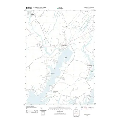 2011 Thomaston2011 Print · USGSCovers Cushing, including Rockland, Warren, and other nearby areas
 - 2014 Map of Tenants Harbor, 2014 Print
 2014 Tenants Harbor2014 Print · USGSCovers Cushing, including Saint George, South Thomaston, and other nearby areas
 - 2014 Map of Thomaston, 2014 Print
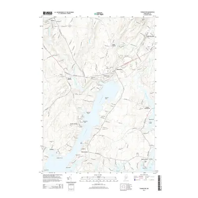 2014 Thomaston2014 Print · USGSCovers Cushing, including Rockland, Warren, and other nearby areas
 - 2014 Map of Waldoboro East, 2014 Print
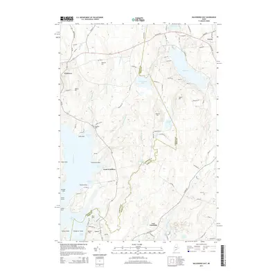 2014 Waldoboro East2014 Print · USGSCovers Cushing, including Warren, Waldoboro, and other nearby areas
 - 2014 Map of Friendship, 2014 Print
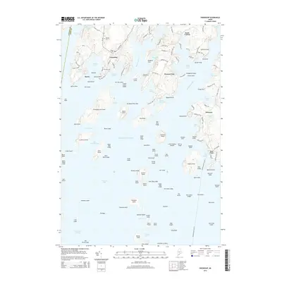 2014 Friendship2014 Print · USGSCovers Cushing, including Saint George, Friendship, and other nearby areas
 - 2018 Map of Thomaston, 2018 Print
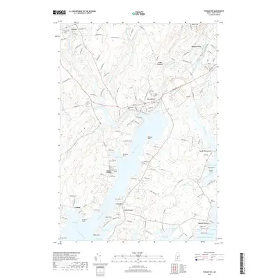 2018 Thomaston2018 Print · USGSCovers Cushing, including Rockland, Warren, and other nearby areas
 - 2018 Map of Waldoboro East, 2018 Print
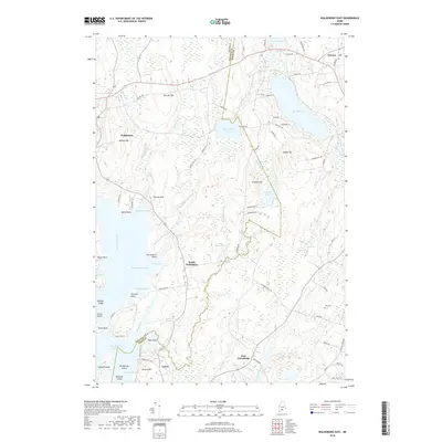 2018 Waldoboro East2018 Print · USGSCovers Cushing, including Warren, Waldoboro, and other nearby areas
 - 2018 Map of Friendship, 2018 Print
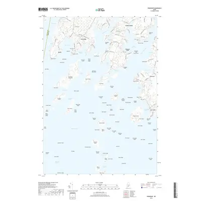 2018 Friendship2018 Print · USGSCovers Cushing, including Saint George, Friendship, and other nearby areas
 - 2018 Map of Tenants Harbor, 2018 Print
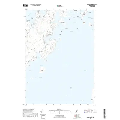 2018 Tenants Harbor2018 Print · USGSCovers Cushing, including Saint George, South Thomaston, and other nearby areas
 - 2021 Map of Tenants Harbor, 2021 Print
 2021 Tenants Harbor2021 Print · USGSCovers Cushing, including Saint George, South Thomaston, and other nearby areas
 - 2021 Map of Friendship, 2021 Print
 2021 Friendship2021 Print · USGSCovers Cushing, including Saint George, Friendship, and other nearby areas
 - 2021 Map of Thomaston, 2021 Print
 2021 Thomaston2021 Print · USGSCovers Cushing, including Rockland, Warren, and other nearby areas
 - 2021 Map of Waldoboro East, 2021 Print
 2021 Waldoboro East2021 Print · USGSCovers Cushing, including Warren, Waldoboro, and other nearby areas
 - 2024 Map of Tenants Harbor, 2024 Print
 2024 Tenants Harbor2024 Print · USGSThe Knox County coast near Tenants Harbor is captured here in its modern form, showing the enduring maritime character of this island-dotted shoreline. Genealogists can locate family sites at Seaside Cem and Clark Hill Cem, while researchers can trace the coastal layout of Martinsville and Clark Island.
 - 2024 Map of Friendship, 2024 Print
 2024 Friendship2024 Print · USGSMid-coast Maine at the current day shows a landscape shaped by both maritime heritage and conservation. Genealogists and historians can trace family roots through the Old Village Cem and Davis Cem, or explore the complex shoreline of Friendship Harbor.
 - 2024 Map of Thomaston, 2024 Print
 2024 Thomaston2024 Print · USGSCoastal Knox County maintains its historic maritime footprint in this recent survey of the lands surrounding the Saint George River. Genealogists can locate several local burying grounds, including The Village Cem and Hyler Jameson Cem, across Thomaston, Cushing, and Spruce Head.
 - 2024 Map of Waldoboro East, 2024 Print
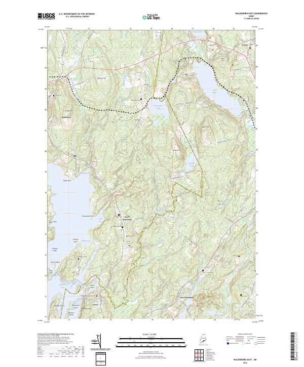 2024 Waldoboro East2024 Print · USGSThe mid-coast of Maine is captured here during the 2020s, showing the intersection of coastal inlets and river valleys. Researchers can locate numerous small family burial grounds like the Delano-Winchenbach Cemetery and trace the shoreline from Dutch Neck to Hungry Island.
End of results
Showing maps 1-20 of 20
Top cities near Cushing
- Rockland historical maps
- Warren historical maps
- Camden historical maps
- Rockport historical maps
- Bristol historical maps
- Thomaston historical maps
See more
Top neighborhoods of Cushing
Frequently asked questions
- What are the different types of historical maps available for Cushing?
- What is the oldest map of Cushing?
- Where can I purchase historical maps of Cushing for my home or office?
- Where can I download high-res historical maps of Cushing?
- Are there historical topographic maps available for Cushing?
- Is there historical aerial imagery available for Cushing?
- Where are historical maps of Cushing sourced from?