Old Maps of East Brownfield, Brownfield for Genealogy
Trace your family roots with 13 historic maps of East Brownfield. These high-res maps reveal old neighborhoods, homesites, landmarks, and streets — helping you uncover where your ancestors lived and how the area evolved over time.
- Explore historic neighborhoods: Identify where your relatives may have lived in the 1800s or 1900s.
- Compare maps over time: Trace the changes in streets, buildings, and landmarks for multi-generational research.
- Perfect for genealogy & ancestry research: Used by family historians and researchers to map out lineage and migration.
These maps are an incredible resource for exploring your personal connection to East Brownfield's past.
East Brownfield, Brownfield maps
(13)- 1910 Map of Kezar Falls
 1910 Kezar Falls1910 Print · USGSMaine and New Hampshire borderlands are captured here at the height of the railroad era, as the Maine Central linked river towns. Genealogists can trace family footprints through sites like the Parsonsfield Seminary, Merrill Corner, and the Haley School.5 unique versions available
 - 1911 Map of Kezar Falls
 1911 Kezar Falls1911 Print · USGSThe Saco River valley at the turn of the century shows a landscape defined by riverside industry and mountain schools. Genealogists and historians can trace rail depots like Bridgton Junction and early landmarks such as Parsonsfield Seminary and Rankins Mill.5 unique versions available
 - 1949 Map of Portland
 1949 Portland1949 Print · USGSCoastal Maine and the New Hampshire interior are shown in detail during the late forties, from the bustling harbors to the lakeside villages. Researchers can trace historical rail networks like the Boston & Maine RR and locate coastal defenses such as Fort Preble.3 unique versions available
 - 1956 Map of Portland, 1963 Print
 1956 Portland1963 Print · USGSSouthern Maine and eastern New Hampshire are captured here in the mid-fifties, during a time of major highway expansion and military growth. You can trace the path of the Maine Turnpike and locate landmarks like the Portsmouth Naval Shipyard and Sebago Lake.4 unique versions available
 - 1959 Map of Portland
 1959 Portland1959 Print · USGSThe Maine and New Hampshire coastlines meet in this mid-century portrait of maritime commerce and inland rail networks. Researchers can trace the legacy of coastal defense at Fort Williams and follow the historic path of the Maine Central RR through the White Mountain National Forest.2 unique versions available
 - 1963 Map of Portland
 1963 Portland1963 Print · USGSCoastal Maine and New Hampshire thrived as maritime and industrial hubs during the mid-sixties, linked by a dense network of rail and river. Researchers can trace historic transit corridors like the Maine Central RR and locate key sites such as the Portsmouth Naval Shipyard or Pease Air Force Base.3 unique versions available
 - 1964 Map of Brownfield, 1966 Print
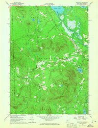 1964 Brownfield1966 Print · USGSOxford County settlement and the Saco River valley are captured here in the mid-sixties. Genealogists and local historians can trace family burial sites at Merrill Cem and Wentworth Cem or follow the path of the Maine Central Railroad.2 unique versions available
 - 1985 Map of Portland, 1986 Print
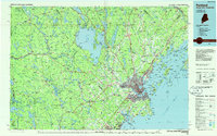 1985 Portland1986 Print · USGSThe Maine coast and Sebago Lake region are captured in the mid-1980s, showcasing the transition from traditional maritime centers to a modern transportation hub. Genealogists and historians can trace rail lines like the Grand Trunk RR and find local landmarks such as the U.S. Marine Hospital or Old Orchard Beach.2 unique versions available
 - 2011 Map of Brownfield, 2011 Print
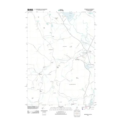 2011 Brownfield2011 Print · USGSThe Saco River valley and its surrounding peaks define this portion of Oxford County in the early twenty-first century. Genealogists can locate numerous burial sites such as Marston Cemetery and Greenlaw Cemetery near the village of Brownfield.
 - 2014 Map of Brownfield, 2014 Print
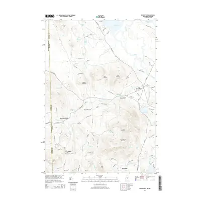 2014 Brownfield2014 Print · USGSThe Maine and New Hampshire borderlands come into focus during the early twenty-first century, showing the rural character of Oxford and Carroll counties. Genealogists can locate several family-named burial sites including Walker Rounds Cem and Blake Cem, alongside the village centers of Merrill Corner and West Brownfield.
 - 2018 Map of Brownfield, 2018 Print
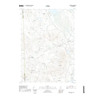 2018 Brownfield2018 Print · USGSThe Maine-New Hampshire borderlands near Brownfield are shown in detail during the late twenty-teens, highlighting a landscape of river valleys and granite peaks. Researchers can locate numerous family burial sites such as Walker Rounds Cem and Marston Cem while tracing the waters of the Shepards River.
 - 2021 Map of Brownfield, 2021 Print
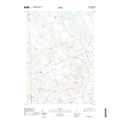 2021 Brownfield2021 Print · USGSOxford County, Maine, is shown here as it appears today, defined by the Saco River valley and the surrounding peaks. Genealogists can trace a wealth of family history through numerous burial sites like Merrill Cem, Cole Cem, and the Brown - Johnson Cem.
 - 2024 Map of Brownfield, 2024 Print
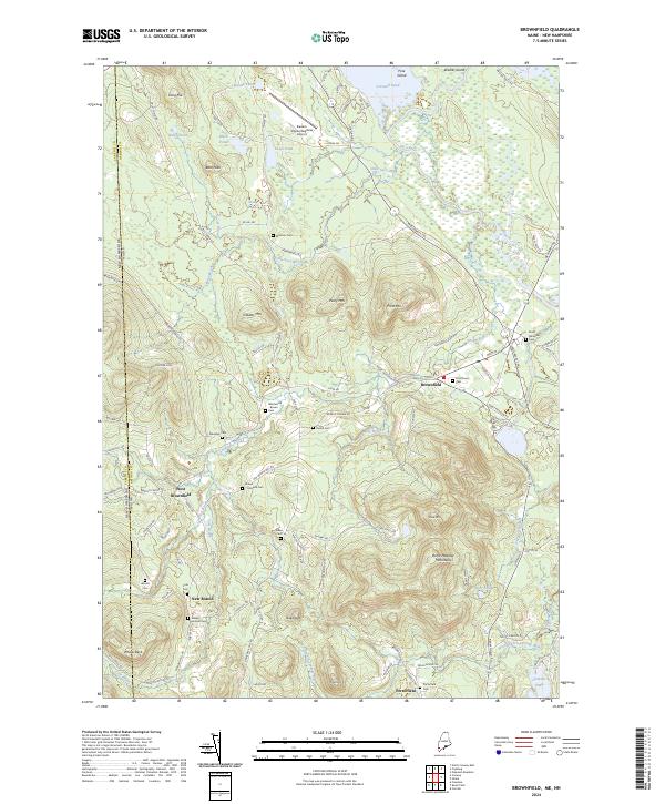 2024 Brownfield2024 Print · USGSOxford County and the Maine-New Hampshire borderlands are captured here in 2024, showing the rural communities of the Saco River valley. Researchers can trace dozens of family-named landmarks and burial sites, from Marston Cem to the Burnt Meadow Mountains.
End of results
Showing maps 1-13 of 13
Frequently asked questions
- What are the different types of historical maps available for East Brownfield?
- What is the oldest map of East Brownfield?
- Where can I purchase historical maps of East Brownfield for my home or office?
- Where can I download high-res historical maps of East Brownfield?
- Are there historical topographic maps available for East Brownfield?
- Is there historical aerial imagery available for East Brownfield?
- Where are historical maps of East Brownfield sourced from?