Old Maps of Norway, Maine for Metal Detecting
Plan your next treasure hunt with 37 historic maps of Norway. Find old homesites, ghost towns, trails, and gathering spots that may be lost to time — perfect for identifying promising metal detecting locations.
- Locate forgotten sites: Uncover places like long-lost settlements, abandoned rail lines, or gathering spots.
- Plan better hunts: Use map overlays combined with LiDAR or satellite views to narrow in on historically rich areas.
- Made for detectorists: Thousands of hobbyists use these maps to discover relics, coins, and hidden history.
Use these historic maps to boost your research and find new opportunities beneath the surface of Norway.
Norway, ME maps
(37)- 1896 Map of Norway
 1896 Norway1896 Print · USGSOxford County in the late nineteenth century was a land of timber and steam, where the Grand Trunk met busy lakeside landings. Trace old transport routes between Norway, the mills at Bolsters Mills, and the Steamer Landing on Long Lake.8 unique versions available
 - 1911 Map of Bryant Pond, 1953 Print
 1911 Bryant Pond1953 Print · USGSOxford County at the start of the twentieth century shows a landscape of mountain ridges and valley mill towns. You can trace the rural school system and early transport lines through Bryant Pond, West Paris, and the waters of Mt Zircon Spring.3 unique versions available
 - 1914 Map of Bryant Pond
 1914 Bryant Pond1914 Print · USGSOxford County at the dawn of the Great War was a land of valley mills and mountain schools connected by the iron rail. Genealogists can trace family footprints near Paris Hill, or locate long-standing landmarks like Abbotts Mill and the Patch Mountain School.4 unique versions available
 - 1942 Map of Bryant Pond
 1942 Bryant Pond1942 Print · USGSOxford County at the dawn of the 1940s shows a landscape of mountain ridges and busy valley railroads. Genealogists can locate family-named landmarks like Walkers Mill and Trap Corner or trace rural education at the Millettville Sch and Patch Mountain Sch.
 - 1946 Map of Norway, 1955 Print
 1946 Norway1955 Print · USGSMid-century Oxford County is defined by its deep lake system and timber-driven river settlements before the arrival of modern interstates. Genealogists and historians can trace family plots at Bisbeetown Cem, locate the old Lewis Sch, and find historical hubs like Scribners Mill and the Fairgrounds.4 unique versions available
 - 1949 Map of Norway
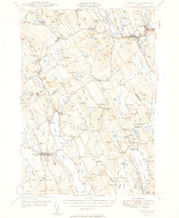 1949 Norway1949 Print · USGSOxford County and the upper Cumberland lakes region are shown here in the mid-forties, capturing the era of small-town mills and rail-fed industry. Genealogists and historians can trace family locations through Bisbeetown Cem, Scribners Mill, and the historic Bell Hill Meeting House.2 unique versions available
 - 1950 Map of Lewiston
 1950 Lewiston1950 Print · USGSThe Maine and New Hampshire borderlands come alive in this post-war survey of the White Mountains and Androscoggin valley. Genealogists and historians can trace rail lines like the Maine Central Railroad and find high-altitude landmarks from Mount Washington to Bretton Woods.2 unique versions available
 - 1956 Map of Lewiston, 1975 Print
 1956 Lewiston1975 Print · USGSThe Northern New England interior is documented here in the mid-fifties, from the industrial Androscoggin River to the high peaks of the White Mountains. Trace the Grand Trunk Railway through mountain passes or locate family landmarks near Sabbathday Lake and Bretton Woods.
 - 1961 Map of Lewiston
 1961 Lewiston1961 Print · USGSWestern Maine and the White Mountains appear here during the early sixties, showing the industrial river towns and vast timberlands before the modern interstate era. Genealogists and historians can trace the Grand Trunk RR through Berlin or locate landmarks like Old Speck Mountain and Elephant Mountain.
 - 1962 Map of Lewiston
 1962 Lewiston1962 Print · USGSThe industrial river valleys and high peaks of Maine and New Hampshire define the region in the early sixties. Trace the rail-and-river network from Lewiston to the White Mountains, passing through mill towns like Berlin and Rumford.
 - 1967 Map of Greenwood, 1969 Print
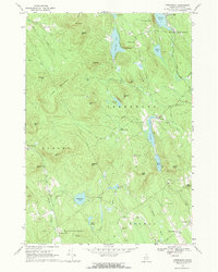 1967 Greenwood1969 Print · USGSOxford County's hill country is documented here in the late sixties, showing the vital link between the Grand Trunk railroad and mountain settlements. Researchers can locate remote burial sites like Patch Mountain Cem and family landmarks such as Willis Mill or the Ice Cave.2 unique versions available
 - 1967 Map of West Paris, 1969 Print
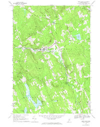 1967 West Paris1969 Print · USGSOxford County's river valleys and rail corridors are captured in the late sixties as the Grand Trunk railroad winds through West Paris. Genealogists can locate family landmarks like Richardson Hollow Cem, Forest Dale Sch, and Stearns Hill Cem.
 - 1969 Map of Lewiston
 1969 Lewiston1969 Print · USGSThe northern New England highlands come into focus during the mid-fifties, showing the vital rail and river networks connecting industrial centers to the deep woods. Researchers can trace the path of the Grand Trunk RR or locate landmarks like Mt Washington and Rangeley Lake.
 - 1983 Map of Norway
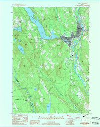 1983 Norway1983 Print · USGSThe twin villages of Norway and South Paris are captured in the early 1980s, showcasing the area's transition from its industrial roots to a lakeside community. Researchers can trace the Canadian National rail line and locate genealogical sites like Pine Grove Cem and Otisfield Gore.
 - 1983 Map of Waterford Flat, 1984 Print
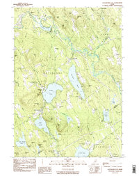 1983 Waterford Flat1984 Print · USGSOxford County in the early eighties preserves a landscape of quiet village centers and deep-woods summer camps. Genealogists can trace family lines at Bisbee Town Cem and Pim Vale Cem, or locate historic hubs like Waterford Flat and Sodom.
 - 1986 Map of Lewiston
 1986 Lewiston1986 Print · USGSMaine’s industrial river valleys and western mountain foothills are captured here in the mid-eighties as rail and road networks tied the region together. Genealogists and historians can trace the development of mill towns and lakefront settlements from Lisbon to Bethel, following the Androscoggin River and the path of the Maine Central Railroad.2 unique versions available
 - 2000 Map of Norway, 2001 Print
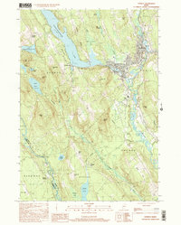 2000 Norway2001 Print · USGSOxford County at the turn of the millennium shows the enduring connection between New England towns and their waterways. Researchers can locate family landmarks like Otisfield Gore Cem, trace the banks of the Crooked River, or find old school sites like Fox Sch.
 - 2011 Map of West Paris, 2011 Print
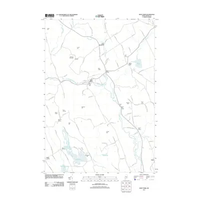 2011 West Paris2011 Print · USGSOxford County in the early twenty-first century reveals a landscape of river-powered industry and quiet hill-country settlements. Genealogists can locate family burial sites at Stearns Hill Cemetery or Whitman Cemetery while tracing landmarks like Snow Falls Gorge.
 - 2011 Map of Waterford Flat, 2011 Print
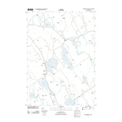 2011 Waterford Flat2011 Print · USGSOxford Hills village life and summer recreation define the Bridgton area in the early 2000s. Researchers can locate numerous family burial grounds like Bisbeetown Cemetery and trace the shores of Keoka Lake and McWain Pond.
 - 2011 Map of Greenwood, 2011 Print
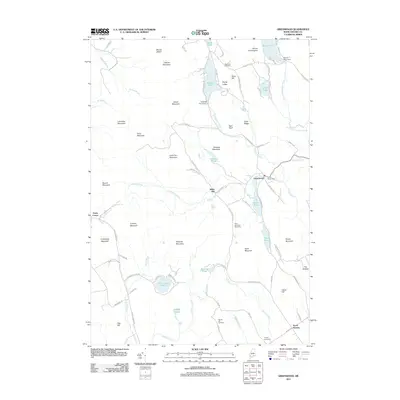 2011 Greenwood2011 Print · USGSThe Oxford Hills of western Maine are shown here in the early twenty-first century, featuring a dense network of mountain peaks and glacial ponds. Researchers can locate remote burial sites like Merrill Hill Cemetery or trace the early paths of Hunts Corner and Willis Mill.
 - 2011 Map of Norway, 2011 Print
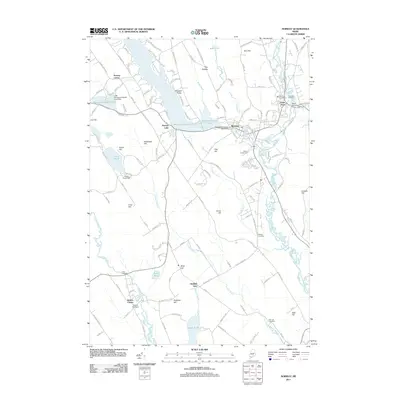 2011 Norway2011 Print · USGSOxford County at the start of the 2010s shows a landscape of river-driven towns and deep-rooted rural settlements. Genealogists can trace family landmarks across Otisfield Gore and locate historic burials at Richville Cemetery or Webber Cemetery.
 - 2014 Map of Waterford Flat, 2014 Print
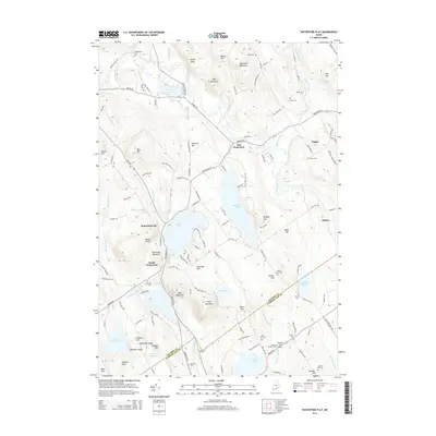 2014 Waterford Flat2014 Print · USGSOxford County's lake-strewn highlands are captured here just after the turn of the millennium, showing a landscape defined by granite ridges and small village centers. Researchers can locate numerous local burial grounds like Bisbeetown Cem and Elm Vale Cem near the shores of Keoka Lake.
 - 2014 Map of Norway, 2014 Print
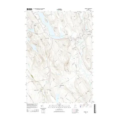 2014 Norway2014 Print · USGSThe twin towns of Norway and South Paris are shown in the early twenty-first century as they flank the Little Androscoggin River. Researchers can trace local heritage through numerous burial sites like Norway Center Cem and Ryefield Cem, or locate landmarks such as Pennesseewassee Lake.
 - 2014 Map of West Paris, 2014 Print
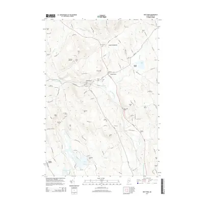 2014 West Paris2014 Print · USGSOxford County hills and river valleys are captured here in the mid-2010s, centered on the village of West Paris. Genealogists can trace family plots at Finnish Cem or Pleasant Valley Cem while exploring landmarks like Snow Falls Gorge and Trap Corner.
 - 2014 Map of Greenwood, 2014 Print
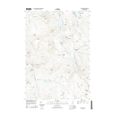 2014 Greenwood2014 Print · USGSOxford County at the start of the 21st century remains a landscape of high peaks and scattered hamlets. Researchers can locate family burial sites at Ames Cem or Greenwood Center Cem and trace the waters of the Little Androscoggin River.
Showing maps 1-25 of 37
Top cities near Norway
- Poland historical maps
- New Gloucester historical maps
- Bridgton historical maps
- Paris historical maps
- Raymond historical maps
- Oxford historical maps
See more
Top neighborhoods of Norway
- North Norway historical maps
- Yagger historical maps
- Norway Lake historical maps
- Nobles Corner historical maps
- Norway Center historical maps
Frequently asked questions
- What are the different types of historical maps available for Norway?
- What is the oldest map of Norway?
- Where can I purchase historical maps of Norway for my home or office?
- Where can I download high-res historical maps of Norway?
- Are there historical topographic maps available for Norway?
- Is there historical aerial imagery available for Norway?
- Where are historical maps of Norway sourced from?