Old Maps of Carroll Plantation, Maine for Metal Detecting
Plan your next treasure hunt with 41 historic maps of Carroll Plantation. Find old homesites, ghost towns, trails, and gathering spots that may be lost to time — perfect for identifying promising metal detecting locations.
- Locate forgotten sites: Uncover places like long-lost settlements, abandoned rail lines, or gathering spots.
- Plan better hunts: Use map overlays combined with LiDAR or satellite views to narrow in on historically rich areas.
- Made for detectorists: Thousands of hobbyists use these maps to discover relics, coins, and hidden history.
Use these historic maps to boost your research and find new opportunities beneath the surface of Carroll Plantation.
Carroll Plantation, ME maps
(41)- 1931 Map of Springfield
 1931 Springfield1931 Print · USGSPenobscot and Washington counties in the early 1930s reveal a landscape of ridges, bogs, and scattered timber camps. Genealogists can trace early rural life through features like Poplar Tavern Camp, the Dill Ridge Fire Tower, and numerous district schools like Cole Sch.4 unique versions available
 - 1934 Map of Springfield
 1934 Springfield1934 Print · USGSPenobscot County in the 1930s is a landscape of rural schoolhouses and timberlands surrounding Springfield and Carroll. Genealogists and historians can trace family-named locations such as Tolman Sch, Gowell Sch, and Bridge Farm.4 unique versions available
 - 1941 Map of Scraggly Lake
 1941 Scraggly Lake1941 Print · USGSBaskahegan Lake and the surrounding Maine timberlands are captured here in the early 1940s, showing a landscape defined by water and woods. Genealogists and researchers can trace remote landmarks like the FIRETOWER on Musquash Mountain or the old route of Gentner Road.6 unique versions available
 - 1944 Map of Scraggly Lake
 1944 Scraggly Lake1944 Print · USGSThe timberlands and interconnected waterways of eastern Maine are captured here in the early 1940s. Genealogists and historians can trace the remote township boundaries of Topsfield and Talmadge or locate landmarks like Black Cat Rips and Musquash Mountain.
 - 1954 Map of Millinocket, 1968 Print
 1954 Millinocket1968 Print · USGSMaine's North Woods and the Penobscot Valley are captured here during the mid-century era of logging and rail dominance. You can trace the path of the Bangor and Aroostook Railroad through timber towns like Millinocket, Mattawamkeag, and Silver Ridge.3 unique versions available
 - 1957 Map of Fredericton, 1981 Print
 1957 Fredericton1981 Print · USGSThe New Brunswick and Maine borderlands come into focus in the mid-fifties, dominated by the Saint John River and massive military tracts. Genealogists can locate riverfront hamlets like Maugerville or inland sites like Scotch Settlement along the Canadian Pacific rail line.
 - 1958 Map of Millinocket
 1958 Millinocket1958 Print · USGSMaine's North Woods and the Penobscot river valley are captured here in the mid-1950s, showing a landscape of timber, rail, and wild waters. Researchers can trace the legacy of the Canadian Pacific railroad and find historic settlements like Millinocket, Sherman Station, and Mattawamkeag.
 - 1960 Map of Millinocket
 1960 Millinocket1960 Print · USGSThe Maine North Woods and Penobscot River valley are captured at mid-century during the height of the paper milling era. Researchers can trace the Appalachian Trail near Mount Katardin or locate family roots in towns like Dover-Foxcroft and Milo.3 unique versions available
 - 1963 Map of Fredericton
 1963 Fredericton1963 Print · USGSThe Saint John River valley and the Maine-New Brunswick border are captured here during the early sixties. Researchers can trace the Canadian Pacific rail lines through rural settlements like Jewetts Mills, Mckeens Corner, and Scotch Settlement.
 - 1975 Map of Scraggly Lake SW, 1980 Print
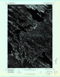 1975 Scraggly Lake SW1980 Print · USGSCovers Carroll Plantation, including Pukakon Township, Kossuth Township, and other nearby areas
 - 1975 Map of Springfield SE, 1980 Print
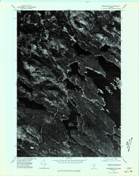 1975 Springfield SE1980 Print · USGSJunior Lake and the surrounding Maine timberlands are captured in photographic detail during the mid-seventies. Researchers can examine the unaltered shorelines of Junior Lake and the rural layout of Springfield in this unique aerial perspective.
 - 1975 Map of Springfield NE, 1980 Print
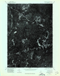 1975 Springfield NE1980 Print · USGSPenobscot County timberlands and remote homesteads are captured in this mid-seventies aerial survey. Researchers can trace land clearings and rural roads connecting Prentiss, Thompson Corners, and Carroll along the Mattakeunk Stream.
 - 1975 Map of Scraggly Lake NW, 1980 Print
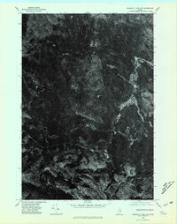 1975 Scraggly Lake NW1980 Print · USGSThe northern Maine woods appear in the mid-1970s as a dense, undeveloped landscape of timber and water. Genealogists and outdoorsmen can trace the natural flow of the Stream and Brook through this remote backcountry.
 - 1985 Map of Lincoln, 1994 Print
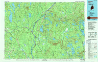 1985 Lincoln1994 Print · USGSPenobscot County in the mid-eighties remains a landscape of river-based commerce and sprawling timberlands connected by rail. You can trace the historic paths of the Maine Central RR and Canadian Pacific RR or locate rural sites like Enfield Station and the Winn Cem.
 - 1986 Map of Calais
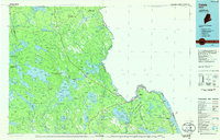 1986 Calais1986 Print · USGSCoastal and interior Washington County are captured here in the mid-1980s, where the international border follows the winding St Croix River. Genealogists and historians can trace the rail lines of the Maine Central and find landmarks like Red Beach and Princeton Airport.
 - 1986 Map of Lincoln
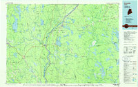 1986 Lincoln1986 Print · USGSMid-century Maine settlement and industry converge along the Penobscot and Piscataquis rivers during the 1980s. Researchers can trace the rail networks of the Maine Central and Bangor and Aroostook through towns like Howland and Milo.
 - 1988 Map of Bowers Mountain
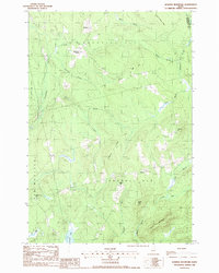 1988 Bowers Mountain1988 Print · USGSPenobscot County in the late eighties remains a landscape of ridges and wetlands centered on the settlements of Prentiss and Carroll. Genealogists and local historians can trace family locations near Thompson Corners, Gates Hill, and remote upland cemeteries.
 - 1988 Map of Dill Hill
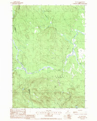 1988 Dill Hill1988 Print · USGSInland Washington and Penobscot counties are shown during the late 1980s, a period defined by vast timberlands and complex waterway networks. Researchers can trace the flow of Big Baskahegan Stream and locate local landmarks such as Dill Hill and Trout Lake.
 - 1988 Map of Scraggly Lake
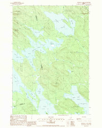 1988 Scraggly Lake1988 Print · USGSThe Maine North Woods at the close of the 1980s reveal a complex network of waterways and timberlands. Outdoor enthusiasts and local historians can trace primitive roads and campsites near Scraggly Lake, Bear Island, and Pork Barrel Lake.
 - 1988 Map of Bottle Lake
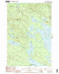 1988 Bottle Lake1988 Print · USGSThe interconnected waterways of Penobscot and Washington counties are captured here in the late eighties, showing a landscape of timber ridges and deep glacial basins. Researchers can locate remote landmarks like the Lookout Tower on Almanac Mtn or trace early access points at McKinney Point and the Boat Landing on Duck Lake.2 unique versions available
 - 1994 Map of Calais
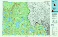 1994 Calais1994 Print · USGSEastern Maine's river and lake country comes into focus in the 1990s, centered on the international border at Calais and the vast Passamaquoddy Indian Reservation. Researchers can trace the water-linked settlements of Grand Lake Stream, the airfield at Princeton Airport, and the industrial heritage of Woodland.
 - 2011 Map of Scraggly Lake, 2011 Print
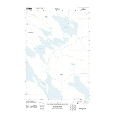 2011 Scraggly Lake2011 Print · USGSThe Maine backcountry is revealed in this early twenty-first century survey of the interconnected waterways between Junior Lake and West Grand Lake. Trace the remote shorelines and interior heights of Penobscot Bald Mountain and Whitney Cove Mountain.
 - 2011 Map of Dill Hill, 2011 Print
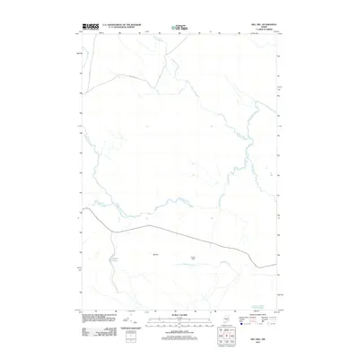 2011 Dill Hill2011 Print · USGSPenobscot County's wooded interior appears in this 2011 survey, showing a landscape defined by the winding Baskahegan Stream and secluded wetlands. Researchers can trace rural logging routes like Schillinger Rd and locate quiet water features such as Dipper Pond and Horsehill Brook.
 - 2011 Map of Bowers Mountain, 2011 Print
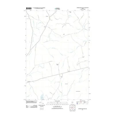 2011 Bowers Mountain2011 Print · USGSThe rural Penobscot County highlands appear here in the early twenty-first century as a network of ridges and timberlands. Researchers can trace family-named landmarks like Sam Rowe Ridge and Weatherbee Hill or locate the settlements at Prentiss and Carroll.
 - 2011 Map of Bottle Lake, 2011 Print
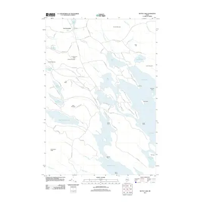 2011 Bottle Lake2011 Print · USGSMaine's lake country in the Penobscot interior is captured here, showing a landscape defined by expansive waters and timber access roads. Researchers can locate the Almanac Mountain Lookout Tower and trace the shores of Junior Lake, Keg Lake, and Mill Privilege Lake.
Showing maps 1-25 of 41
Top cities near Carroll Plantation
- Lee historical maps
- Mattawamkeag historical maps
- Danforth historical maps
- Winn historical maps
- Springfield historical maps
- Prentiss Township historical maps
See more
Frequently asked questions
- What are the different types of historical maps available for Carroll Plantation?
- What is the oldest map of Carroll Plantation?
- Where can I purchase historical maps of Carroll Plantation for my home or office?
- Where can I download high-res historical maps of Carroll Plantation?
- Are there historical topographic maps available for Carroll Plantation?
- Is there historical aerial imagery available for Carroll Plantation?
- Where are historical maps of Carroll Plantation sourced from?