Old Maps of McGregor Mill, Corinth for Academic Research
Study the evolution of McGregor Mill with 16 high-resolution historic maps. Whether you're teaching, researching, or modeling changes in land use, these maps provide essential visual documentation of urban, environmental, and geographic change.
- Analyze long-term change: Track patterns in development, transportation, and natural features.
- Ideal for environmental or urban studies: Support academic projects with primary historical map data.
- Use in the classroom or lab: Educators and researchers rely on these maps to bring historical context to life.
These maps are a powerful tool for teaching, research, and visualizing how McGregor Mill has changed over the decades.
McGregor Mill, Corinth maps
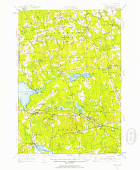
(16)- 1931 Map of Stetson
 1931 Stetson1931 Print · USGSPenobscot County townships like Stetson and Exeter were thriving rural communities in the early thirties before modern school consolidation. Genealogists can locate family homesteads near numerous local landmarks like the Holy Rollers Sch, Exeter Fairgrounds, and Damascus Sta.
 - 1935 Map of Stetson
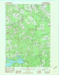
 1935 Stetson1935 Print · USGSPenobscot County townships show their early twentieth-century character in this 1930s survey of central Maine. Genealogists and local historians can trace schoolhouse locations like Partridge Sch and rail-line settlements such as Etna and Carmel.3 unique versions available
 - 1948 Map of Bangor
 1948 Bangor1948 Print · USGSThe Maine coast and its industrial river valleys are captured here shortly after the war, showing the vital shipping and rail hubs of the late 1940s. Genealogists and historians can trace the tracks of the Maine Central RR connecting Bangor, Augusta, and Old Town.
 - 1955 Map of Stetson, 1957 Print
 1955 Stetson1957 Print · USGSPenobscot County in the mid-1950s is shown as a thriving landscape of rural corner settlements and lakeside communities. Genealogists and historians can trace family lines through numerous rural burying grounds like Corinthian Cem or locate the site of the Longfellow Sch and Durham Bridge.3 unique versions available
 - 1956 Map of Bangor, 1966 Print
 1956 Bangor1966 Print · USGSMid-century Maine comes alive in this survey of the rugged coast and river valleys during the 1950s. Genealogists and historians can trace the vital rail corridors of the Maine Central RR connecting timber towns like Old Town to the coast at Bar Harbor.3 unique versions available
 - 1960 Map of Bangor
 1960 Bangor1960 Print · USGSCentral Maine in the sixties reveals a landscape of river-powered industry and sprawling coastal island chains. Researchers can trace the rail corridors of the Maine Central or locate mid-century aviation landmarks like Dow Air Force Base.
 - 1961 Map of Bangor
 1961 Bangor1961 Print · USGSMid-century Maine comes alive through its busy river ports and rocky archipelagoes during a period of steady maritime and rail commerce. Researchers can trace the path of the Maine Central railroad and locate coastal landmarks from Acadia National Park to Vinalhaven Island.
 - 1975 Map of Stetson NE, 1980 Print
 1975 Stetson NE1980 Print · USGSPenobscot County woodlands and rural townships are shown in detail during the mid-seventies through this aerial orthophoto. Genealogists and local historians can trace property lines and old roads near Exeter Mills, East Corinth, and Pleasant Lake.
 - 1981 Map of West Corinth, 1982 Print
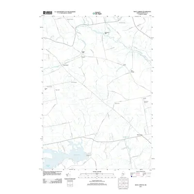
 1981 West Corinth1982 Print · USGSPenobscot County agriculture and small-town life are preserved in this early 1980s survey of the Corinth and Exeter area. Researchers can trace family history through local landmarks like Exeter Mills, the Morrison Sch, and the Corinthian Cem near East Corinth.
 - 1982 Map of West Corinth, 1983 Print
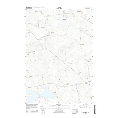
 1982 West Corinth1983 Print · USGSPenobscot County at the dawn of the eighties remains a landscape of quiet rural townships and family cemeteries. Genealogists can trace property roots near Exeter Mills, locate the Morrison Sch, or find ancestral plots at Corinthian Cem and Osgood Cem.2 unique versions available
 - 1985 Map of Skowhegan, 1986 Print
 1985 Skowhegan1986 Print · USGSCentral Maine in the mid-eighties shows a landscape of river-driven industry and rural crossroads. Genealogists can trace family names and farmsteads near Lake George or along the Maine Central Railroad through Pittsfield and Burnham.2 unique versions available
 - 2011 Map of West Corinth, 2011 Print
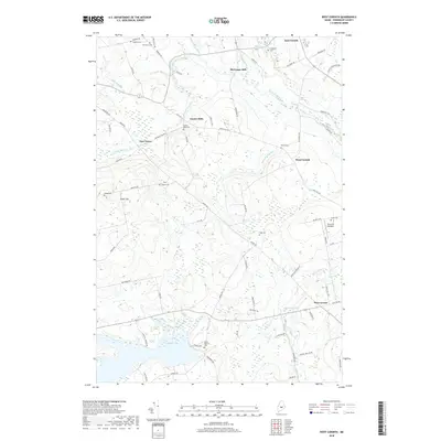
 2011 West Corinth2011 Print · USGSCovers McGregor Mill, including Levant, Corinth, and other nearby areas
 - 2014 Map of West Corinth, 2014 Print
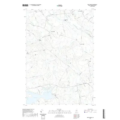
 2014 West Corinth2014 Print · USGSCovers McGregor Mill, including Levant, Corinth, and other nearby areas
 - 2018 Map of West Corinth, 2018 Print
 2018 West Corinth2018 Print · USGSCovers McGregor Mill, including Levant, Corinth, and other nearby areas
 - 2021 Map of West Corinth, 2021 Print
 2021 West Corinth2021 Print · USGSCovers McGregor Mill, including Levant, Corinth, and other nearby areas
 - 2024 Map of West Corinth, 2024 Print
 2024 West Corinth2024 Print · USGSPenobscot County’s rural landscape is captured in this contemporary survey of its mill towns and farming communities. Genealogists can trace family heritage through local landmarks like Exeter Mills Cem, McGregor Mill, and the quiet shores of Pleasant Lake.
End of results
Showing maps 1-16 of 16
Frequently asked questions
- What are the different types of historical maps available for McGregor Mill?
- What is the oldest map of McGregor Mill?
- Where can I purchase historical maps of McGregor Mill for my home or office?
- Where can I download high-res historical maps of McGregor Mill?
- Are there historical topographic maps available for McGregor Mill?
- Is there historical aerial imagery available for McGregor Mill?
- Where are historical maps of McGregor Mill sourced from?