Old Maps of Drew Plantation, Maine for Metal Detecting
Plan your next treasure hunt with 34 historic maps of Drew Plantation. Find old homesites, ghost towns, trails, and gathering spots that may be lost to time — perfect for identifying promising metal detecting locations.
- Locate forgotten sites: Uncover places like long-lost settlements, abandoned rail lines, or gathering spots.
- Plan better hunts: Use map overlays combined with LiDAR or satellite views to narrow in on historically rich areas.
- Made for detectorists: Thousands of hobbyists use these maps to discover relics, coins, and hidden history.
Use these historic maps to boost your research and find new opportunities beneath the surface of Drew Plantation.
Drew Plantation, ME maps
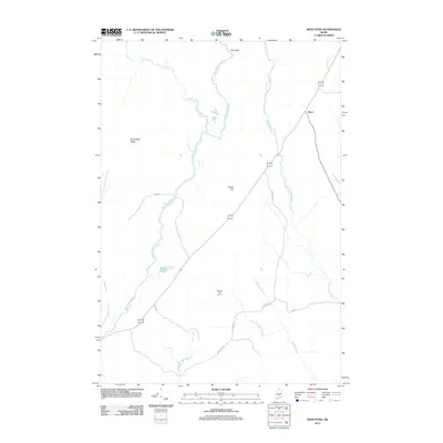
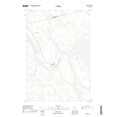
(34)- 1941 Map of Wytopitlock, 1960 Print
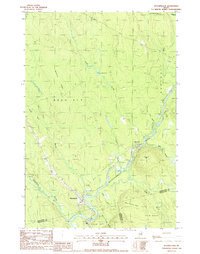
 1941 Wytopitlock1960 Print · USGSAroostook County was a landscape of remote timberlands and river-side rail hubs at the start of the 1940s. Genealogists and historians can trace old community life through landmarks like Knoxville Sch, Whitney Fire Tower, and the rail junction at Wytopitlock.2 unique versions available
 - 1943 Map of Wytopitlock
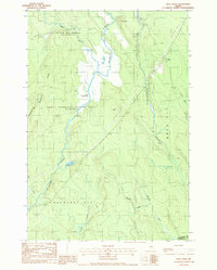
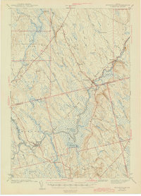 1943 Wytopitlock1943 Print · USGSMaine’s timber and rail country comes to life in the early 1940s as the Mattawamkeag River valley connects isolated townships. Researchers can trace rural life through the locations of Knoxville Sch, Drew Cem, and the prominent Whitney Fire Tower.
 - 1954 Map of Millinocket, 1968 Print
 1954 Millinocket1968 Print · USGSMaine's North Woods and the Penobscot Valley are captured here during the mid-century era of logging and rail dominance. You can trace the path of the Bangor and Aroostook Railroad through timber towns like Millinocket, Mattawamkeag, and Silver Ridge.3 unique versions available
 - 1958 Map of Millinocket
 1958 Millinocket1958 Print · USGSMaine's North Woods and the Penobscot river valley are captured here in the mid-1950s, showing a landscape of timber, rail, and wild waters. Researchers can trace the legacy of the Canadian Pacific railroad and find historic settlements like Millinocket, Sherman Station, and Mattawamkeag.
 - 1960 Map of Millinocket
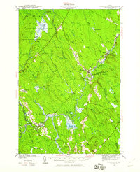
 1960 Millinocket1960 Print · USGSThe Maine North Woods and Penobscot River valley are captured at mid-century during the height of the paper milling era. Researchers can trace the Appalachian Trail near Mount Katardin or locate family roots in towns like Dover-Foxcroft and Milo.3 unique versions available
 - 1975 Map of Wytopitlock SE, 1980 Print
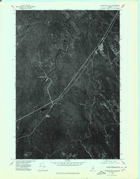
 1975 Wytopitlock SE1980 Print · USGSMaine's interior timberlands are captured in high-altitude detail during the mid-seventies, showing the intersection of water and forest management. Trace the precise 1975 shoreline of the Mattawamkeag River and the winding course of Meadow Brook.
 - 1975 Map of Wytopitlock NW, 1980 Print
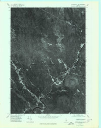
 1975 Wytopitlock NW1980 Print · USGSAroostook County's timberlands are shown in detail during the mid-seventies, revealing the intersection of forest and water. Researchers can trace the winding Macwahoc Stream and the corridor near Reed as they appeared decades ago.
 - 1975 Map of Wytopitlock SW, 1980 Print
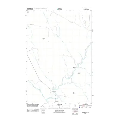
 1975 Wytopitlock SW1980 Print · USGSThe settlement of Kingman and the winding Mattawamkeag River are shown here during the mid-seventies. Researchers can trace the drainage patterns and historical woodlots along Molunkus Stream and Mattagodus Stream.
 - 1975 Map of Wytopitlock NE, 1980 Print
 1975 Wytopitlock NE1980 Print · USGSNorthern Maine timberlands and riverfront settlements are captured in this mid-1970s aerial survey. Trace the historic footprints of Bancroft and Wytopitlock along the winding Mattawamkeag River.
 - 1985 Map of Millinocket, 1986 Print
 1985 Millinocket1986 Print · USGSThe North Maine Woods were a landscape of industrial timber and wilderness recreation in the mid-eighties. Genealogists and researchers can trace local settlements and rail stops like Sherman Mills, Wytopitlock, and the Old Long A Siding near the Penobscot River.2 unique versions available
 - 1988 Map of Potter Hill
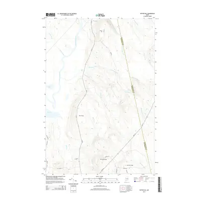
 1988 Potter Hill1988 Print · USGSMaine's north woods and plantations come into focus in the late 1980s, showcasing a landscape of timbered ridges and winding waterways. Researchers can locate the Cem in Prentiss Plt and trace family-named landmarks like Sam Rowe Ridge and Potter Hill.
 - 1988 Map of Kingman
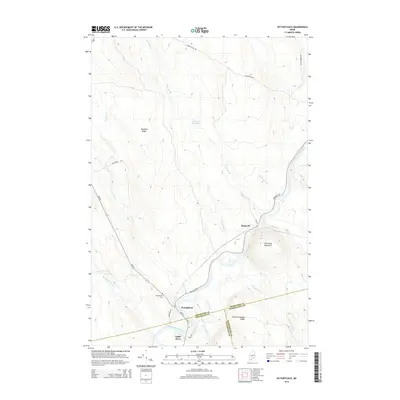
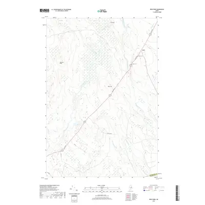
 1988 Kingman1988 Print · USGSPenobscot County, Maine, is shown in the late 1980s as a land of winding waterways and remote plantations. Researchers can trace the riverbanks of the Mattawamkeag River near Kingman or locate landmarks like the Cem and Billy Doe Bog.
 - 1988 Map of Wytopitlock
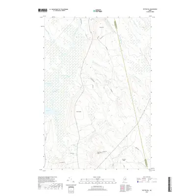
 1988 Wytopitlock1988 Print · USGSThe Mattawamkeag River valley in the late eighties serves as a vital corridor between the small outposts of Wytopitlock and Bancroft. Genealogists and historians can trace the bounds of Reed Plt and Drew Plt while identifying local landmarks like the Mill, Sherwood Mtn, and Palmer Deadwater.
 - 1988 Map of Reed Pond
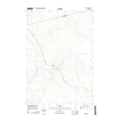
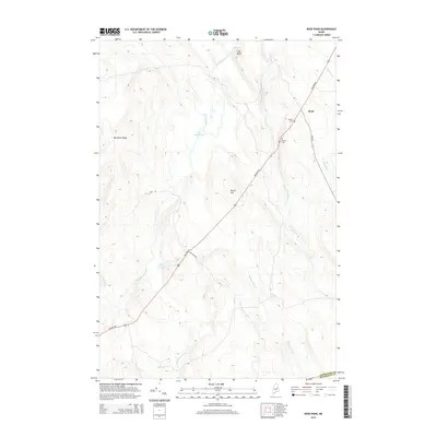
 1988 Reed Pond1988 Print · USGSAroostook County was defined by its timber and stream networks in the late twentieth century. Genealogists and historians can trace the settlement at Reed, locate the Cem, and find historic forest landmarks like the Lookout Tower near Reed Pond.
 - 2011 Map of Potter Hill, 2011 Print
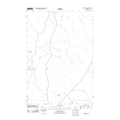 2011 Potter Hill2011 Print · USGSCovers Drew Plantation, including Prentiss Township, T8 R4 NBPP, and other nearby areas
 - 2011 Map of Kingman, 2011 Print
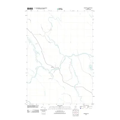 2011 Kingman2011 Print · USGSCovers Drew Plantation, including Mattawamkeag, Prentiss Township, and other nearby areas
 - 2011 Map of Reed Pond, 2011 Print
 2011 Reed Pond2011 Print · USGSCovers Drew Plantation, including Reed Plantation, Reed, and other nearby areas
 - 2011 Map of Wytopitlock, 2011 Print
 2011 Wytopitlock2011 Print · USGSCovers Drew Plantation, including Reed Plantation, Haynesville, and other nearby areas
 - 2014 Map of Wytopitlock, 2014 Print
 2014 Wytopitlock2014 Print · USGSCovers Drew Plantation, including Reed Plantation, Haynesville, and other nearby areas
 - 2014 Map of Kingman, 2014 Print
 2014 Kingman2014 Print · USGSCovers Drew Plantation, including Mattawamkeag, Prentiss Township, and other nearby areas
 - 2014 Map of Potter Hill, 2014 Print
 2014 Potter Hill2014 Print · USGSCovers Drew Plantation, including Prentiss Township, T8 R4 NBPP, and other nearby areas
 - 2014 Map of Reed Pond, 2014 Print
 2014 Reed Pond2014 Print · USGSCovers Drew Plantation, including Reed Plantation, Reed, and other nearby areas
 - 2018 Map of Potter Hill, 2018 Print
 2018 Potter Hill2018 Print · USGSCovers Drew Plantation, including Prentiss Township, T8 R4 NBPP, and other nearby areas
 - 2018 Map of Reed Pond, 2018 Print
 2018 Reed Pond2018 Print · USGSCovers Drew Plantation, including Reed Plantation, Reed, and other nearby areas
 - 2018 Map of Kingman, 2018 Print
 2018 Kingman2018 Print · USGSCovers Drew Plantation, including Mattawamkeag, Prentiss Township, and other nearby areas
Showing maps 1-25 of 34
Top cities near Drew Plantation
- Lee historical maps
- Mattawamkeag historical maps
- Danforth historical maps
- Winn historical maps
- Springfield historical maps
- Weston historical maps
See more
Top neighborhoods of Drew Plantation
Frequently asked questions
- What are the different types of historical maps available for Drew Plantation?
- What is the oldest map of Drew Plantation?
- Where can I purchase historical maps of Drew Plantation for my home or office?
- Where can I download high-res historical maps of Drew Plantation?
- Are there historical topographic maps available for Drew Plantation?
- Is there historical aerial imagery available for Drew Plantation?
- Where are historical maps of Drew Plantation sourced from?