Old Maps of Lakeville, Maine for Academic Research
Study the evolution of Lakeville with 37 high-resolution historic maps. Whether you're teaching, researching, or modeling changes in land use, these maps provide essential visual documentation of urban, environmental, and geographic change.
- Analyze long-term change: Track patterns in development, transportation, and natural features.
- Ideal for environmental or urban studies: Support academic projects with primary historical map data.
- Use in the classroom or lab: Educators and researchers rely on these maps to bring historical context to life.
These maps are a powerful tool for teaching, research, and visualizing how Lakeville has changed over the decades.
Lakeville, ME maps
(37)- 1931 Map of Springfield
 1931 Springfield1931 Print · USGSPenobscot and Washington counties in the early 1930s reveal a landscape of ridges, bogs, and scattered timber camps. Genealogists can trace early rural life through features like Poplar Tavern Camp, the Dill Ridge Fire Tower, and numerous district schools like Cole Sch.4 unique versions available
 - 1932 Map of Nicatous Lake
 1932 Nicatous Lake1932 Print · USGSNicatous Lake and the surrounding Maine wilderness are captured here in the early 1930s, when private sporting retreats and seasonal camps dotted the shoreline. Genealogists and local historians can trace specific locations like the Explorers Club, Adler Tavern Camp, and Sullivan Camp.4 unique versions available
 - 1934 Map of Nicatous Lake
 1934 Nicatous Lake1934 Print · USGSHancock County was a landscape of remote sporting camps and timber trails in the early 1930s. Genealogists and historians can trace old sites like Poplar Tavern Camp, the Nicatous Club, and No 2 Camp set among landmarks like Duck Mtn.4 unique versions available
 - 1934 Map of Springfield
 1934 Springfield1934 Print · USGSPenobscot County in the 1930s is a landscape of rural schoolhouses and timberlands surrounding Springfield and Carroll. Genealogists and historians can trace family-named locations such as Tolman Sch, Gowell Sch, and Bridge Farm.4 unique versions available
 - 1954 Map of Millinocket, 1968 Print
 1954 Millinocket1968 Print · USGSMaine's North Woods and the Penobscot Valley are captured here during the mid-century era of logging and rail dominance. You can trace the path of the Bangor and Aroostook Railroad through timber towns like Millinocket, Mattawamkeag, and Silver Ridge.3 unique versions available
 - 1958 Map of Millinocket
 1958 Millinocket1958 Print · USGSMaine's North Woods and the Penobscot river valley are captured here in the mid-1950s, showing a landscape of timber, rail, and wild waters. Researchers can trace the legacy of the Canadian Pacific railroad and find historic settlements like Millinocket, Sherman Station, and Mattawamkeag.
 - 1960 Map of Millinocket
 1960 Millinocket1960 Print · USGSThe Maine North Woods and Penobscot River valley are captured at mid-century during the height of the paper milling era. Researchers can trace the Appalachian Trail near Mount Katardin or locate family roots in towns like Dover-Foxcroft and Milo.3 unique versions available
 - 1975 Map of Nicatous Lake NW, 1980 Print
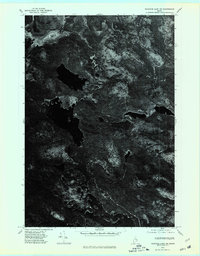 1975 Nicatous Lake NW1980 Print · USGSHancock County’s deep woods and waters are captured in the mid-1970s through this detailed aerial survey. Researchers can trace the winding Passadumkeag River and study the intricate shoreline of Nicatous Lake and the nearby Heath.
 - 1975 Map of Springfield SE, 1980 Print
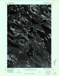 1975 Springfield SE1980 Print · USGSJunior Lake and the surrounding Maine timberlands are captured in photographic detail during the mid-seventies. Researchers can examine the unaltered shorelines of Junior Lake and the rural layout of Springfield in this unique aerial perspective.
 - 1975 Map of Nicatous Lake NE, 1980 Print
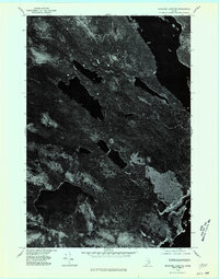 1975 Nicatous Lake NE1980 Print · USGSThe interior of Hancock County is captured in this mid-seventies aerial survey, showing the deep woods of eastern Maine. Researchers can examine the shoreline and surrounding timber around Duck Lake to see the landscape as it stood before modern development.
 - 1975 Map of Springfield SW, 1980 Print
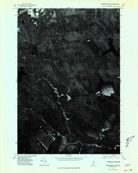 1975 Springfield SW1980 Print · USGSThe Maine wilderness and its complex water networks are frozen in time during the mid-seventies in this detailed aerial study. Researchers can trace the shoreline of Sysladobsis Lake and the unique wetlands of Todd Acre Heath.
 - 1985 Map of Lincoln, 1994 Print
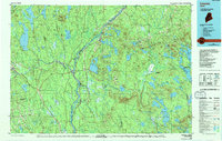 1985 Lincoln1994 Print · USGSPenobscot County in the mid-eighties remains a landscape of river-based commerce and sprawling timberlands connected by rail. You can trace the historic paths of the Maine Central RR and Canadian Pacific RR or locate rural sites like Enfield Station and the Winn Cem.
 - 1986 Map of Lincoln
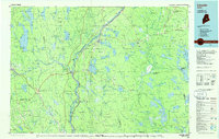 1986 Lincoln1986 Print · USGSMid-century Maine settlement and industry converge along the Penobscot and Piscataquis rivers during the 1980s. Researchers can trace the rail networks of the Maine Central and Bangor and Aroostook through towns like Howland and Milo.
 - 1987 Map of Spring Lake, 1988 Print
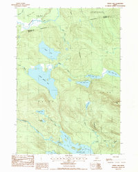 1987 Spring Lake1988 Print · USGSHancock and Penobscot counties meet in this late-1980s survey of the dense Maine backcountry. Outdoor historians and researchers can trace the intricate chain of waters from Lower Pistol Lake to the broad expanse of the 1000 Acre Heath.
 - 1987 Map of Duck Lake, 1988 Print
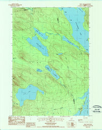 1987 Duck Lake1988 Print · USGSThe Maine woods at the edge of Washington County in the 1980s are defined by a complex labyrinth of interconnected waterways and timberlands. Trace the remote drainages of Duck Lake and Sysladobsis Lake, or locate family landmarks near Lakeville and Duck Mtn.
 - 1988 Map of Weir Pond
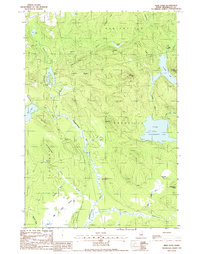 1988 Weir Pond1988 Print · USGSThe Penobscot County interior during the late 1980s reveals a landscape of isolated outposts and intricate waterways. Genealogists and local historians can trace the locations of Budge Farm and Carry Farm, or explore the timber-country camps like Camp No 9.
 - 1988 Map of Bottle Lake
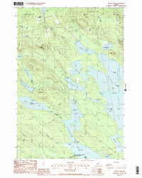 1988 Bottle Lake1988 Print · USGSThe interconnected waterways of Penobscot and Washington counties are captured here in the late eighties, showing a landscape of timber ridges and deep glacial basins. Researchers can locate remote landmarks like the Lookout Tower on Almanac Mtn or trace early access points at McKinney Point and the Boat Landing on Duck Lake.2 unique versions available
 - 2011 Map of Duck Lake, 2011 Print
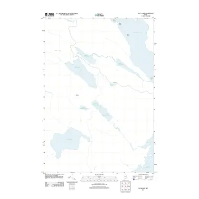 2011 Duck Lake2011 Print · USGSPenobscot County’s interior waterways are documented here in the early 2000s, showing a remote landscape of interconnected lakes and streams. Trace the legacy of northern woods camps at Number Six Camp or navigate the waters of Duck Lake and the Upper Chain Lake system.
 - 2011 Map of Bottle Lake, 2011 Print
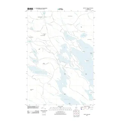 2011 Bottle Lake2011 Print · USGSMaine's lake country in the Penobscot interior is captured here, showing a landscape defined by expansive waters and timber access roads. Researchers can locate the Almanac Mountain Lookout Tower and trace the shores of Junior Lake, Keg Lake, and Mill Privilege Lake.
 - 2011 Map of Spring Lake, 2011 Print
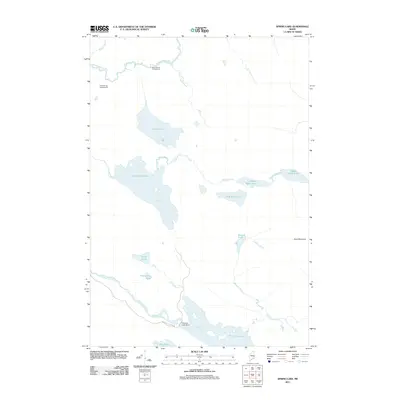 2011 Spring Lake2011 Print · USGSPenobscot County’s network of glacial lakes and river headwaters are documented here in the early twenty-first century. Researchers can trace the waterways from the Passadumkeag River down to Nicatous Lake Dam and the remote Lower Pistol Lake.
 - 2011 Map of Weir Pond, 2011 Print
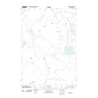 2011 Weir Pond2011 Print · USGSPenobscot County's deep woods and waterways are documented here in the early twenty-first century, showing a landscape defined by timber tracts and river bends. Researchers can trace remote camps and farmsteads like Camp Number Nine and Budge Farm along the banks of the Passadumkeag River.
 - 2014 Map of Weir Pond, 2014 Print
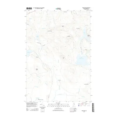 2014 Weir Pond2014 Print · USGSPenobscot County timberlands and remote waterways are captured here during the early twenty-first century. Outdoorsmen and geographers can trace the intricate drainages of The Oxbow and the sprawling One Thousand Acre Heath near Lombard Lake.
 - 2014 Map of Bottle Lake, 2014 Print
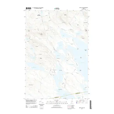 2014 Bottle Lake2014 Print · USGSThe Maine woods around South Springfield are captured here in the early twenty-first century, showing a landscape of high ridges and vast glacial waters. Researchers can trace land boundaries near Bottle Lake and locate seasonal routes around Mill Privilege Lake.
 - 2014 Map of Spring Lake, 2014 Print
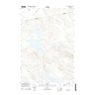 2014 Spring Lake2014 Print · USGSMaine's lake country is captured here in the early twenty-first century, showcasing a wilderness of interconnected waterways and timberlands. Researchers can trace remote forest routes like Nicatous Stream Rd to landmarks such as One Thousand Acre Heath and Lower Pistol Lake.
 - 2014 Map of Duck Lake, 2014 Print
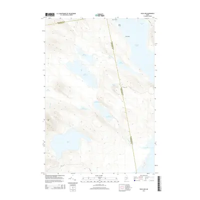 2014 Duck Lake2014 Print · USGSEastern Maine's interior lake country is captured here during the early twenty-first century, showing the complex aquatic system where three counties meet. Researchers can trace historic forest access routes like Wabassus Rd between Duck Lake and Sysladobsis Lake.
Showing maps 1-25 of 37
Top cities near Lakeville
- Lee historical maps
- Mattawamkeag historical maps
- Winn historical maps
- Burlington historical maps
- Springfield historical maps
- Prentiss Township historical maps
See more
Frequently asked questions
- What are the different types of historical maps available for Lakeville?
- What is the oldest map of Lakeville?
- Where can I purchase historical maps of Lakeville for my home or office?
- Where can I download high-res historical maps of Lakeville?
- Are there historical topographic maps available for Lakeville?
- Is there historical aerial imagery available for Lakeville?
- Where are historical maps of Lakeville sourced from?