2020s Maps of Lincoln, Maine
Explore 12 historic maps of Lincoln from the 2020s. These maps offer a rare glimpse into what life looked like during the 2020s — showing old roads, neighborhoods, homes, and landmarks that have changed or disappeared over time.
Whether you're researching your family's past, planning a metal detecting trip, or studying how Lincoln's landscape evolved across the 2020s, these high-resolution maps are a powerful tool for exploring the history of this region.
- Focus on a specific era: All maps on this page are from the 2020s, giving you a focused view of this time period.
- See what’s changed: Compare century-old streets, trails, and buildings to today's modern landscape using overlays and satellite layers.
- Research with precision: Use these maps for genealogy, historical research, land use analysis, or educational projects.
- View, download, or print: Maps are fully viewable online in high resolution, and can be downloaded or printed for your own records.
Start exploring Lincoln's history through authentic maps from the 2020s. This is your window into the past.
Lincoln, ME maps
(12)- 2021 Map of Lincoln Center, 2021 Print
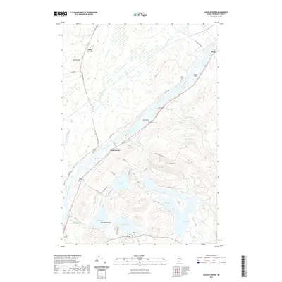 2021 Lincoln Center2021 Print · USGSMaine's upper Penobscot River valley appears in detail during the early twenty-first century, showing the established communities between Lincoln and Winn. Researchers can trace local lineage at Snow Cem or follow the waters of Cambolasse Pond and Center Pond.
 - 2021 Map of Nine Meadow Ridge, 2021 Print
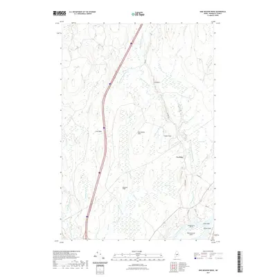 2021 Nine Meadow Ridge2021 Print · USGSPenobscot County timberlands and riverfront are captured here in the early twenty-first century. Genealogists and local historians can trace the geography of the Penobscot River islands and interior landmarks like Nine Meadow Ridge and Horseback.
 - 2021 Map of Lincoln East, 2021 Print
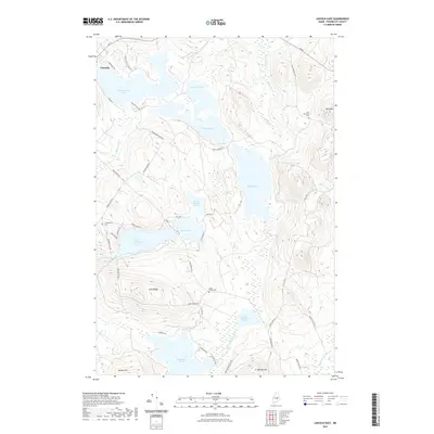 2021 Lincoln East2021 Print · USGSPenobscot County's lake-studded interior comes into focus in this contemporary survey of the area east of Lincoln. Researchers can locate remote burial sites like Half Township Cem and Transalpine Cem or trace family landmarks along Long Ridge and Dow Mtn.
 - 2021 Map of East Winn, 2021 Print
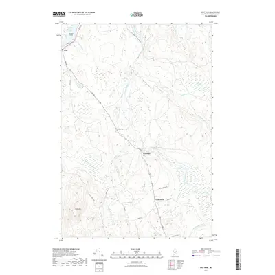 2021 East Winn2021 Print · USGSThe northern Penobscot County woods and waterways come into focus in this contemporary survey of the Penobscot Valley periphery. Local historians can trace the road networks connecting East Winn and Crockertown or locate the East Winn Cem near the Mattakeunk Stream.
 - 2021 Map of Lincoln West, 2021 Print
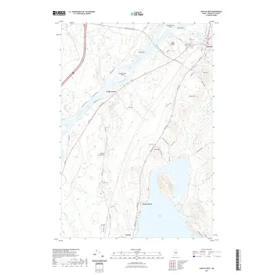 2021 Lincoln West2021 Print · USGSThe Penobscot River corridor in the 2020s shows a landscape defined by its glacial history and river-based industry. Genealogists and researchers can map family plots at Park Street Cem or trace the unusual geography of the Enfield Horseback.
 - 2021 Map of Lee, 2021 Print
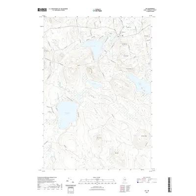 2021 Lee2021 Print · USGSPenobscot County’s interior landscape is captured here in the early twenty-first century, centered on the village of Lee. Family historians can locate ancestral resting places at Academy Cem or Woodlawn Cem and trace old routes like Hale Farm Rd and Back Road to Lee.
 - 2024 Map of Lincoln East, 2024 Print
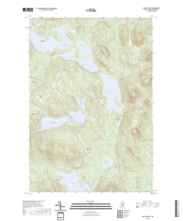 2024 Lincoln East2024 Print · USGSPenobscot County’s lake country is captured here in the early twenty-first century, showing the town of Lincoln alongside a complex network of glacial ponds and ridges. Researchers can locate remote burial grounds like Half Township Cem and Long Ridge Cem or trace family landmarks along Phinney Farm Rd.
 - 2024 Map of Lincoln West, 2024 Print
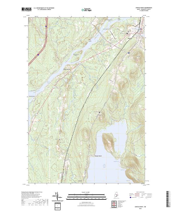 2024 Lincoln West2024 Print · USGSPenobscot River life and the growth of Lincoln are captured in this modern survey of central Maine. Trace family history at West Broadway Cem or explore the landscape around Cold Stream Pond and Mohawk Rapids.
 - 2024 Map of Nine Meadow Ridge, 2024 Print
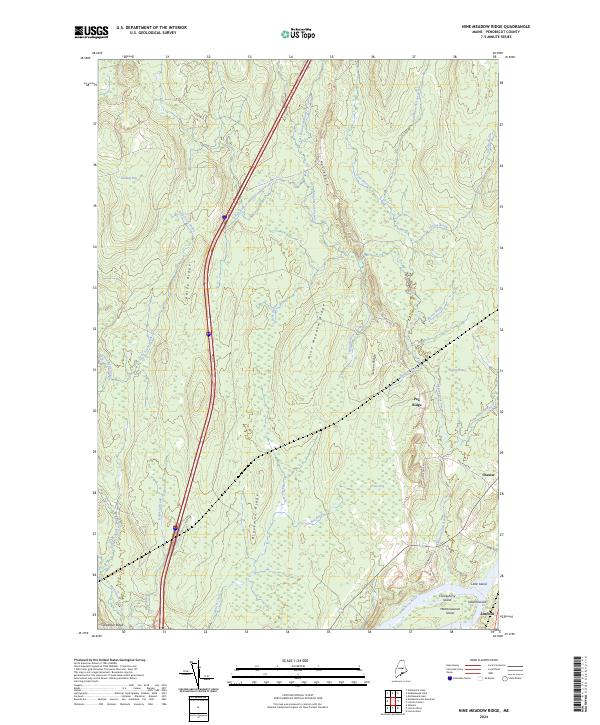 2024 Nine Meadow Ridge2024 Print · USGSThe Penobscot River and its wooded islands define this area of Maine in the 2020s. Researchers can trace land patterns near Lincoln and Chester or locate landmarks like Horseback and Mattanawcook Island.
 - 2024 Map of Lincoln Center, 2024 Print
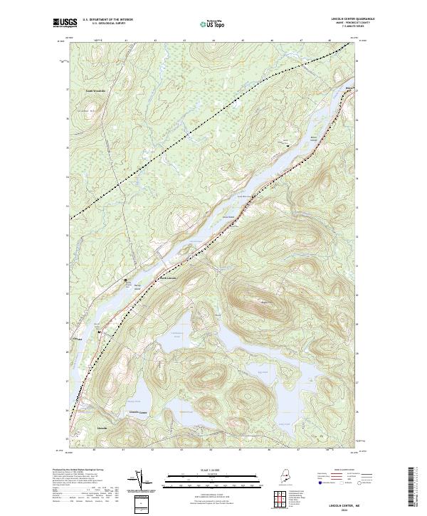 2024 Lincoln Center2024 Print · USGSPenobscot River settlements and quiet family cemeteries define this riverine landscape in the modern era. Genealogists can trace local history through sites like Lincoln Center Cem, South Winn Cem, and Snow Cem.
 - 2024 Map of East Winn, 2024 Print
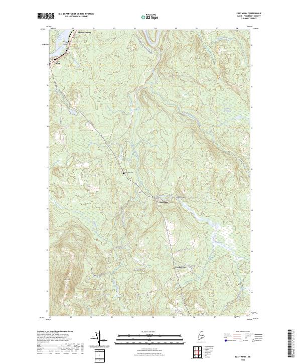 2024 East Winn2024 Print · USGSPenobscot County's riverfront and forested interior are mapped here in the early twenty-first century as the landscape maintains its traditional rural character. Researchers can trace family names and local landmarks through sites like Crockertown, East Winn Cem, and the Five Island Rapids on the river.
 - 2024 Map of Lee, 2024 Print
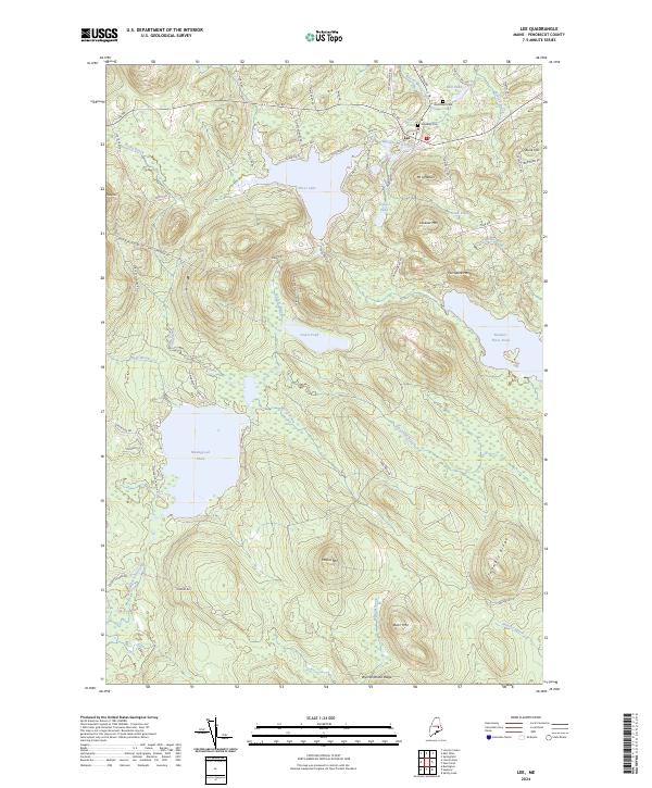 2024 Lee2024 Print · USGSPenobscot County's lake-strewn landscape is captured here in the contemporary era, centered on the village of Lee. Genealogists and local historians can locate early burial sites at Academy Cem and Woodlawn Cem or trace shoreline settlements like Coles Lndg.
End of results
Showing maps 1-12 of 12
Top cities near Lincoln
- Enfield historical maps
- Greenbush historical maps
- Medway historical maps
- Howland historical maps
- Lee historical maps
- Mattawamkeag historical maps
See more
Top neighborhoods of Lincoln
- South Lincoln historical maps
- North Lincoln historical maps
- Libby Corner historical maps
- Lincoln Center historical maps
Frequently asked questions
- What are the different types of historical maps available for Lincoln?
- What is the oldest map of Lincoln?
- Where can I purchase historical maps of Lincoln for my home or office?
- Where can I download high-res historical maps of Lincoln?
- Are there historical topographic maps available for Lincoln?
- Is there historical aerial imagery available for Lincoln?
- Where are historical maps of Lincoln sourced from?