Old Maps of Long A Township, Maine for Academic Research
Study the evolution of Long A Township with 27 high-resolution historic maps. Whether you're teaching, researching, or modeling changes in land use, these maps provide essential visual documentation of urban, environmental, and geographic change.
- Analyze long-term change: Track patterns in development, transportation, and natural features.
- Ideal for environmental or urban studies: Support academic projects with primary historical map data.
- Use in the classroom or lab: Educators and researchers rely on these maps to bring historical context to life.
These maps are a powerful tool for teaching, research, and visualizing how Long A Township has changed over the decades.
Long A Township, ME maps
(27)- 1951 Map of Norcross, 1953 Print
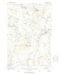 1951 Norcross1953 Print · USGSThe Maine North Woods at mid-century reveal a complex logging and sporting landscape centered on the village of Norcross. Researchers can trace the legacy of the timber trade and wilderness camps at the Boom House, Ambajejus Camps, and Stephensons Landing.5 unique versions available
 - 1951 Map of Millinocket, 1953 Print
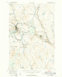 1951 Millinocket1953 Print · USGSThe river-driven industrial landscape of northern Maine comes into focus in the early fifties, where the Penobscot forks meet at Medway. Genealogists and historians can trace the Bangor and Aroostook rail line and locate Bethel Ch or the Lynch Cem.4 unique versions available
 - 1954 Map of Millinocket, 1968 Print
 1954 Millinocket1968 Print · USGSMaine's North Woods and the Penobscot Valley are captured here during the mid-century era of logging and rail dominance. You can trace the path of the Bangor and Aroostook Railroad through timber towns like Millinocket, Mattawamkeag, and Silver Ridge.3 unique versions available
 - 1958 Map of Millinocket
 1958 Millinocket1958 Print · USGSMaine's North Woods and the Penobscot river valley are captured here in the mid-1950s, showing a landscape of timber, rail, and wild waters. Researchers can trace the legacy of the Canadian Pacific railroad and find historic settlements like Millinocket, Sherman Station, and Mattawamkeag.
 - 1960 Map of Millinocket
 1960 Millinocket1960 Print · USGSThe Maine North Woods and Penobscot River valley are captured at mid-century during the height of the paper milling era. Researchers can trace the Appalachian Trail near Mount Katardin or locate family roots in towns like Dover-Foxcroft and Milo.3 unique versions available
 - 1975 Map of Millinocket SW, 1979 Print
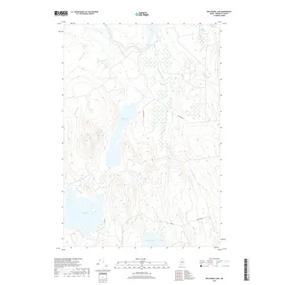
 1975 Millinocket SW1979 Print · USGSPenobscot County timberlands and remote waters are captured in this mid-1970s aerial survey. Sportsmen and researchers can trace the detailed shorelines and forest tracks surrounding Nollesemic Lake and the West Branch Penobscot River.2 unique versions available
 - 1978 Map of Cedar Lake, 1981 Print
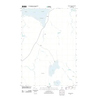
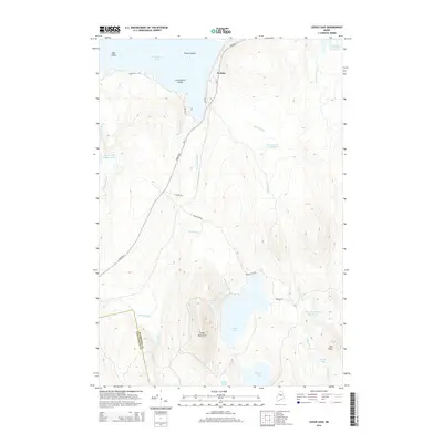
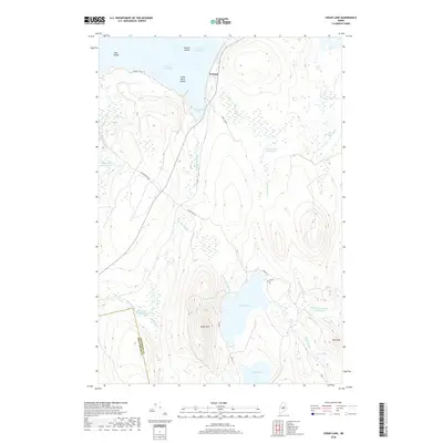
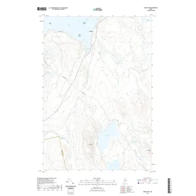
 1978 Cedar Lake1981 Print · USGSThe Maine North Woods are seen here in the late seventies through detailed aerial orthophotography. Researchers can trace the timber-rich terrain between South Twin Lake and Cedar Lake, following the paths of Grant Brook and Dean Brook.
 - 1978 Map of Ragged Mountain, 1981 Print
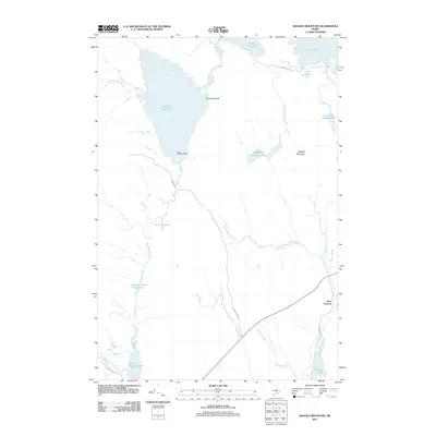
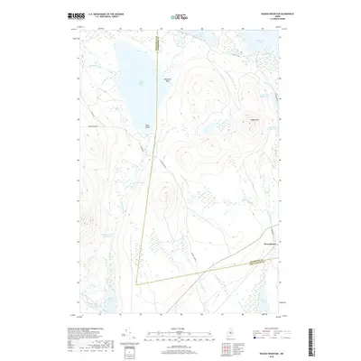
 1978 Ragged Mountain1981 Print · USGSPenobscot County timberlands are captured from the air in the late seventies, showing the intersection of Maine's wilderness and its logging industry. Researchers can trace the rail corridor at West Seboois and the shorelines of Upper Jo-Mary Lake and South Twin Lake.2 unique versions available
 - 1985 Map of Millinocket, 1986 Print
 1985 Millinocket1986 Print · USGSThe North Maine Woods were a landscape of industrial timber and wilderness recreation in the mid-eighties. Genealogists and researchers can trace local settlements and rail stops like Sherman Mills, Wytopitlock, and the Old Long A Siding near the Penobscot River.2 unique versions available
 - 1988 Map of Cedar Lake
 1988 Cedar Lake1988 Print · USGSThe Maine North Woods at the end of the twentieth century shows a landscape of timber management and remote lakeside camps. Genealogists and historians can trace the old rail footprints at Ingalls Siding or locate the seasonal dwellings at Cedar Lake Camps and Perkins.
 - 1988 Map of Ragged Mountain
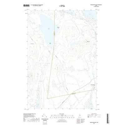
 1988 Ragged Mountain1988 Print · USGSPenobscot and Piscataquis counties are shown here in the late eighties, documenting a remote landscape of interconnected lakes and mountain terrain. Trace the waterway from Upper Jo-Mary Lake to South Twin Lake or locate Balancing Rock on the slopes of Ragged Mountain.
 - 1988 Map of Nollesemic Lake
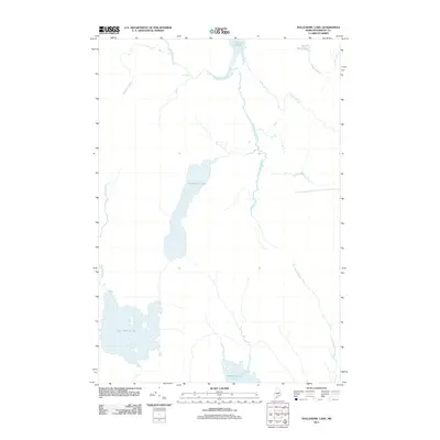
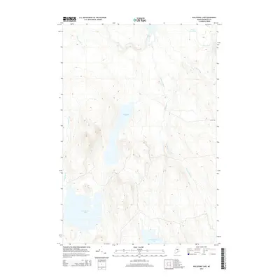
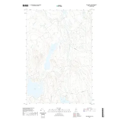
 1988 Nollesemic Lake1988 Print · USGSPenobscot County’s deep woods and interlocking waterways are captured here during the late eighties. Researchers can trace the wild hydrology of Nollesemic Lake and East Branch Lake, alongside the remote Hopkins Academy Grant boundary.
 - 2011 Map of Ragged Mountain, 2011 Print
 2011 Ragged Mountain2011 Print · USGSCovers Long A Township, including Veazie Gore, T4 Indian Purchase Township, and other nearby areas
 - 2011 Map of Nollesemic Lake, 2011 Print
 2011 Nollesemic Lake2011 Print · USGSCovers Long A Township, including Millinocket, T3 Indian Purchase Township, and other nearby areas
 - 2011 Map of Cedar Lake, 2011 Print
 2011 Cedar Lake2011 Print · USGSCovers Long A Township, including T3 Indian Purchase Township, Hopkins Academy Grant Township, and other nearby areas
 - 2014 Map of Ragged Mountain, 2014 Print
 2014 Ragged Mountain2014 Print · USGSCovers Long A Township, including Veazie Gore, T4 Indian Purchase Township, and other nearby areas
 - 2014 Map of Nollesemic Lake, 2014 Print
 2014 Nollesemic Lake2014 Print · USGSCovers Long A Township, including Millinocket, T3 Indian Purchase Township, and other nearby areas
 - 2014 Map of Cedar Lake, 2014 Print
 2014 Cedar Lake2014 Print · USGSCovers Long A Township, including T3 Indian Purchase Township, Hopkins Academy Grant Township, and other nearby areas
 - 2018 Map of Nollesemic Lake, 2018 Print
 2018 Nollesemic Lake2018 Print · USGSCovers Long A Township, including Millinocket, T3 Indian Purchase Township, and other nearby areas
 - 2018 Map of Cedar Lake, 2018 Print
 2018 Cedar Lake2018 Print · USGSCovers Long A Township, including T3 Indian Purchase Township, Hopkins Academy Grant Township, and other nearby areas
 - 2018 Map of Ragged Mountain, 2018 Print
 2018 Ragged Mountain2018 Print · USGSCovers Long A Township, including Veazie Gore, T4 Indian Purchase Township, and other nearby areas
 - 2021 Map of Cedar Lake, 2021 Print
 2021 Cedar Lake2021 Print · USGSCovers Long A Township, including T3 Indian Purchase Township, Hopkins Academy Grant Township, and other nearby areas
 - 2021 Map of Nollesemic Lake, 2021 Print
 2021 Nollesemic Lake2021 Print · USGSCovers Long A Township, including Millinocket, T3 Indian Purchase Township, and other nearby areas
 - 2021 Map of Ragged Mountain, 2021 Print
 2021 Ragged Mountain2021 Print · USGSCovers Long A Township, including Veazie Gore, T4 Indian Purchase Township, and other nearby areas
 - 2024 Map of Ragged Mountain, 2024 Print
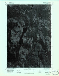
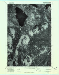
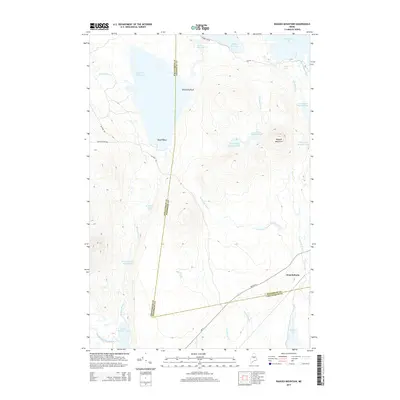
 2024 Ragged Mountain2024 Print · USGSThe Maine wilderness near the Penobscot and Piscataquis county line is captured here in its contemporary state. Researchers can trace the logging road networks including Jo-Mary Rd and locate landmarks like Balancing Rock, Black Island, and Ragged Mtn.
Showing maps 1-25 of 27
Top cities near Long A Township
- Millinocket historical maps
- East Millinocket historical maps
- Brownville historical maps
- Lake View Plantation historical maps
- Maxfield historical maps
- Seboeis Plantation historical maps
Top neighborhoods of Long A Township
Frequently asked questions
- What are the different types of historical maps available for Long A Township?
- What is the oldest map of Long A Township?
- Where can I purchase historical maps of Long A Township for my home or office?
- Where can I download high-res historical maps of Long A Township?
- Are there historical topographic maps available for Long A Township?
- Is there historical aerial imagery available for Long A Township?
- Where are historical maps of Long A Township sourced from?