2000s (21st Century) Maps of Medford, Maine
Explore 20 historic maps of Medford from the 2000s (21st Century). These maps offer a rare glimpse into what life looked like during the 2000s — showing old roads, neighborhoods, homes, and landmarks that have changed or disappeared over time.
Whether you're researching your family's past, planning a metal detecting trip, or studying how Medford's landscape evolved across the 2000s, these high-resolution maps are a powerful tool for exploring the history of this region.
- Focus on a specific era: All maps on this page are from the 2000s, giving you a focused view of this time period.
- See what’s changed: Compare century-old streets, trails, and buildings to today's modern landscape using overlays and satellite layers.
- Research with precision: Use these maps for genealogy, historical research, land use analysis, or educational projects.
- View, download, or print: Maps are fully viewable online in high resolution, and can be downloaded or printed for your own records.
Start exploring Medford's history through authentic maps from the 2000s. This is your window into the past.
Medford, ME maps
(20)- 2011 Map of Hardy Pond, 2011 Print
 2011 Hardy Pond2011 Print · USGSCovers Medford, including Howland, Lake View Plantation, and other nearby areas
 - 2011 Map of Lagrange, 2011 Print
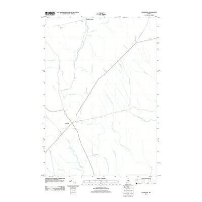 2011 Lagrange2011 Print · USGSCovers Medford, including Bradford, Howland, and other nearby areas
 - 2011 Map of Milo South, 2011 Print
 2011 Milo South2011 Print · USGSCovers Medford, including Milo, Charleston, and other nearby areas
 - 2011 Map of Milo North, 2011 Print
 2011 Milo North2011 Print · USGSCovers Medford, including Milo, Brownville, and other nearby areas
 - 2014 Map of Milo North, 2014 Print
 2014 Milo North2014 Print · USGSCovers Medford, including Milo, Brownville, and other nearby areas
 - 2014 Map of Hardy Pond, 2014 Print
 2014 Hardy Pond2014 Print · USGSCovers Medford, including Howland, Lake View Plantation, and other nearby areas
 - 2014 Map of Lagrange, 2014 Print
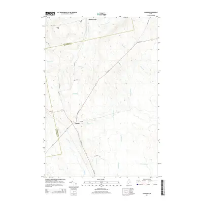 2014 Lagrange2014 Print · USGSCovers Medford, including Bradford, Howland, and other nearby areas
 - 2014 Map of Milo South, 2014 Print
 2014 Milo South2014 Print · USGSCovers Medford, including Milo, Charleston, and other nearby areas
 - 2018 Map of Lagrange, 2018 Print
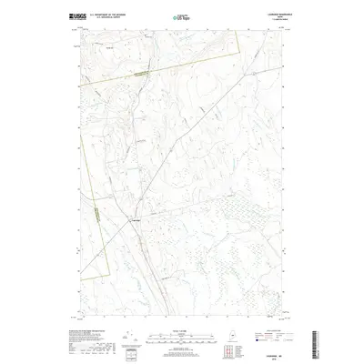 2018 Lagrange2018 Print · USGSCovers Medford, including Bradford, Howland, and other nearby areas
 - 2018 Map of Hardy Pond, 2018 Print
 2018 Hardy Pond2018 Print · USGSCovers Medford, including Howland, Lake View Plantation, and other nearby areas
 - 2018 Map of Milo South, 2018 Print
 2018 Milo South2018 Print · USGSCovers Medford, including Milo, Charleston, and other nearby areas
 - 2018 Map of Milo North, 2018 Print
 2018 Milo North2018 Print · USGSCovers Medford, including Milo, Brownville, and other nearby areas
 - 2021 Map of Milo North, 2021 Print
 2021 Milo North2021 Print · USGSCovers Medford, including Milo, Brownville, and other nearby areas
 - 2021 Map of Milo South, 2021 Print
 2021 Milo South2021 Print · USGSCovers Medford, including Milo, Charleston, and other nearby areas
 - 2021 Map of Lagrange, 2021 Print
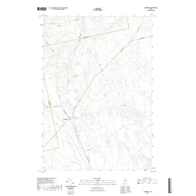 2021 Lagrange2021 Print · USGSCovers Medford, including Bradford, Howland, and other nearby areas
 - 2021 Map of Hardy Pond, 2021 Print
 2021 Hardy Pond2021 Print · USGSCovers Medford, including Howland, Lake View Plantation, and other nearby areas
 - 2024 Map of Milo South, 2024 Print
 2024 Milo South2024 Print · USGSMaine's river valleys and boglands come into focus in this contemporary study of the Milo and Derby area. Researchers can locate local landmarks like Upper Ferry Cem, the settlement at Parkers, and the waters of Boyd Lake to trace family roots and land patterns.
 - 2024 Map of Hardy Pond, 2024 Print
 2024 Hardy Pond2024 Print · USGSMedford and the Piscataquis River valley are shown here in the 2020s, highlighting a landscape defined by expansive bogs and old transport corridors. Researchers can trace the Abandoned Railroad Grade, locate the Schoodic Cem, and explore the terrain around Hardy Pond.
 - 2024 Map of Milo North, 2024 Print
 2024 Milo North2024 Print · USGSThe river confluence at Milo and the expansive shores of Schoodic Lake define this Maine landscape in the 2020s. Genealogists and local researchers can locate Evergreen Cem and trace old routes to Knights Landing or Lake View.
 - 2024 Map of Lagrange, 2024 Print
 2024 Lagrange2024 Print · USGSLagrange and the surrounding Penobscot County timberlands are detailed here in the early twenty-first century. Genealogists and local historians can locate Hill Crest Cem, trace the drainage of Cold Stream, and explore the rural road network near Paddy Hill.
End of results
Showing maps 1-20 of 20
Top cities near Medford
- Milo historical maps
- Charleston historical maps
- Enfield historical maps
- Greenbush historical maps
- Hudson historical maps
- Bradford historical maps
See more
Top neighborhoods of Medford
Frequently asked questions
- What are the different types of historical maps available for Medford?
- What is the oldest map of Medford?
- Where can I purchase historical maps of Medford for my home or office?
- Where can I download high-res historical maps of Medford?
- Are there historical topographic maps available for Medford?
- Is there historical aerial imagery available for Medford?
- Where are historical maps of Medford sourced from?