2010s Maps of Spencer Bay Township, Maine
Explore 12 historic maps of Spencer Bay Township from the 2010s. These maps offer a rare glimpse into what life looked like during the 2010s — showing old roads, neighborhoods, homes, and landmarks that have changed or disappeared over time.
Whether you're researching your family's past, planning a metal detecting trip, or studying how Spencer Bay Township's landscape evolved across the 2010s, these high-resolution maps are a powerful tool for exploring the history of this region.
- Focus on a specific era: All maps on this page are from the 2010s, giving you a focused view of this time period.
- See what’s changed: Compare century-old streets, trails, and buildings to today's modern landscape using overlays and satellite layers.
- Research with precision: Use these maps for genealogy, historical research, land use analysis, or educational projects.
- View, download, or print: Maps are fully viewable online in high resolution, and can be downloaded or printed for your own records.
Start exploring Spencer Bay Township's history through authentic maps from the 2010s. This is your window into the past.
Spencer Bay Township, ME maps
(12)- 2011 Map of Kokadjo, 2011 Print
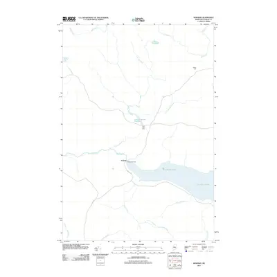 2011 Kokadjo2011 Print · USGSThe Maine wilderness around Kokadjo is captured here in the early twenty-first century, showing a landscape defined by timber management and hydroelectric control. Researchers can trace the flow of the Roach River and locate remote landmarks like the Lazy Tom Dam and Siras Hill.
 - 2011 Map of Spencer Bay, 2011 Print
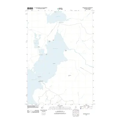 2011 Spencer Bay2011 Print · USGSMaine's North Woods and the reaches of Moosehead Lake are captured in the early 2000s, showcasing a landscape of isolated camps and timber roads. Trace the shoreline from Spencer Pond Camps down to Caseys Spencer Bay Campground and Trumbles Rock.
 - 2011 Map of Big Spencer Mountain, 2011 Print
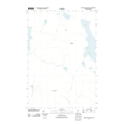 2011 Big Spencer Mountain2011 Print · USGSThe Maine North Woods are captured here in the early twenty-first century, showcasing a landscape of interconnected glacial lakes and prominent peaks. Researchers can trace the drainage of Maxfield Brook and Pine Stream between landmarks like Big Spencer Mountain and Ragged Lake.
 - 2011 Map of Mount Kineo, 2011 Print
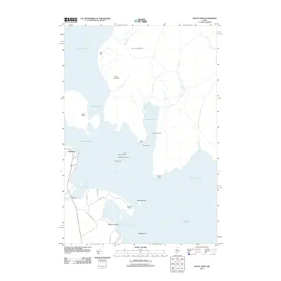 2011 Mount Kineo2011 Print · USGSMoosehead Lake and its prominent islands are captured here in the early twenty-first century as they appear near the gateway of Rockwood. Researchers can trace the shoreline from Mount Kineo to the West Outlet Dam, while locating family-named landmarks like Deer Head Farm and Masterman Island.
 - 2014 Map of Big Spencer Mountain, 2014 Print
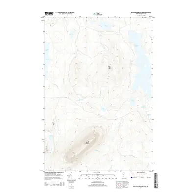 2014 Big Spencer Mountain2014 Print · USGSIn the Maine woods north of Greenville during the early 2010s, this landscape shows a network of remote timber roads and glacial ponds. Researchers can trace the elevation profiles of Big Spencer Mountain and identify secluded waters like Lobster Lake and Ragged Lake.
 - 2014 Map of Mount Kineo, 2014 Print
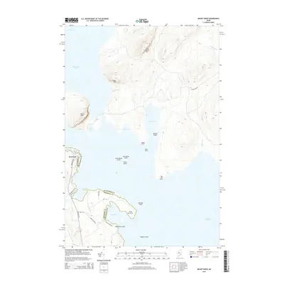 2014 Mount Kineo2014 Print · USGSThe northern Maine wilderness around Moosehead Lake is captured here in the early twenty-first century, showing the intersection of Somerset and Piscataquis counties. Researchers can trace the shoreline geography from Mount Kineo down to the clustered landforms of Sand Bar Island and Rockwood.
 - 2014 Map of Spencer Bay, 2014 Print
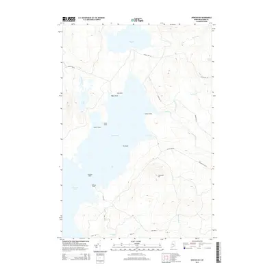 2014 Spencer Bay2014 Print · USGSMoosehead Lake and its surrounding timberlands are captured here in the early twenty-first century, showing the intricate shoreline of the Spencer Bay region. Genealogists and outdoorsmen can trace access along Spencer Pond Rd to landmarks like Case Point and Stevens Point.
 - 2014 Map of Kokadjo, 2014 Print
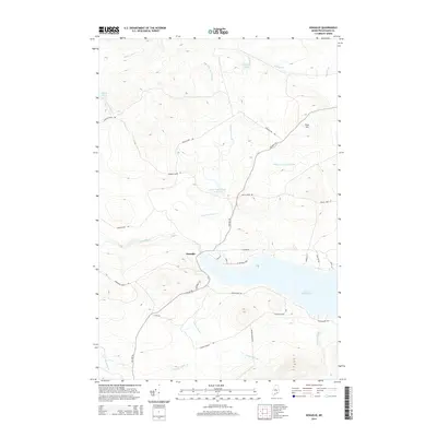 2014 Kokadjo2014 Print · USGSThe North Woods settlement of Kokadjo and the expansive First Roach Pond are captured here in the early twenty-first century. Researchers can trace remote logging routes and water systems including the Lazy Tom Stream Reservoir, Siras Hill, and Jewett Pond.
 - 2018 Map of Kokadjo, 2018 Print
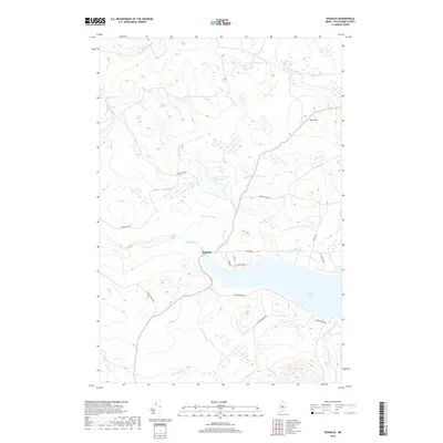 2018 Kokadjo2018 Print · USGSThe North Woods village of Kokadjo and its surrounding timberlands are captured here in the late 2010s. Researchers can trace the remote road network and drainage patterns around First Roach Pond, Siras Hill, and the Lazy Tom Stream Reservoir.
 - 2018 Map of Spencer Bay, 2018 Print
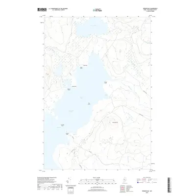 2018 Spencer Bay2018 Print · USGSMoosehead Lake and its surrounding timberlands are documented here in the early twenty-first century. Researchers can trace the complex shoreline of Spencer Bay and locate landmarks like Hardwood Hill, The Narrows, and Mallars Island.
 - 2018 Map of Big Spencer Mountain, 2018 Print
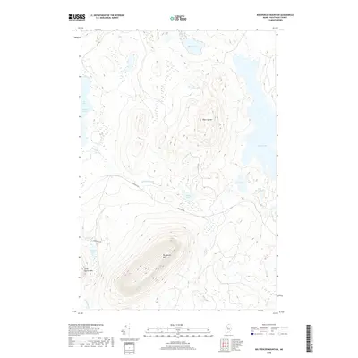 2018 Big Spencer Mountain2018 Print · USGSNorth of Greenville in the Maine woods, this map captures a landscape of massive peaks and interconnected waterways in the late 2010s. Trace the remote topography around Big Spencer Mtn, Ragged Lake, and the distinctive Big Claw Lobster Lake.
 - 2018 Map of Mount Kineo, 2018 Print
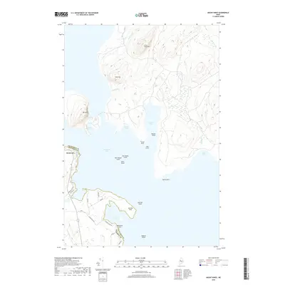 2018 Mount Kineo2018 Print · USGSThe Moosehead Lake shoreline near the Somerset and Piscataquis county line is captured here in the late 2010s. Researchers can trace the landscape around Mt Kineo and the village of Rockwood, locating landmarks like Old Mill Rd and Masterman Island.
End of results
Showing maps 1-12 of 12
Top cities near Spencer Bay Township
Frequently asked questions
- What are the different types of historical maps available for Spencer Bay Township?
- What is the oldest map of Spencer Bay Township?
- Where can I purchase historical maps of Spencer Bay Township for my home or office?
- Where can I download high-res historical maps of Spencer Bay Township?
- Are there historical topographic maps available for Spencer Bay Township?
- Is there historical aerial imagery available for Spencer Bay Township?
- Where are historical maps of Spencer Bay Township sourced from?