1900s (20th Century) Maps of Big Ten Township, Maine
Explore 20 historic maps of Big Ten Township from the 1900s (20th Century). These maps offer a rare glimpse into what life looked like during the 1900s — showing old roads, neighborhoods, homes, and landmarks that have changed or disappeared over time.
Whether you're researching your family's past, planning a metal detecting trip, or studying how Big Ten Township's landscape evolved across the 1900s, these high-resolution maps are a powerful tool for exploring the history of this region.
- Focus on a specific era: All maps on this page are from the 1900s, giving you a focused view of this time period.
- See what’s changed: Compare century-old streets, trails, and buildings to today's modern landscape using overlays and satellite layers.
- Research with precision: Use these maps for genealogy, historical research, land use analysis, or educational projects.
- View, download, or print: Maps are fully viewable online in high resolution, and can be downloaded or printed for your own records.
Start exploring Big Ten Township's history through authentic maps from the 1900s. This is your window into the past.
Big Ten Township, ME maps
(20)- 1954 Map of Baker Lake, 1955 Print
 1954 Baker Lake1955 Print · USGSThe Maine North Woods in the early fifties are shown here as a remote timberland network along the St John River. You can trace the path of the Telephone Trail and locate specific backcountry water bodies like Baker Lake and St Francis Lake.
 - 1954 Map of Presque Isle, 1968 Print
 1954 Presque Isle1968 Print · USGSNorth Woods logging and rail history come alive in this mid-century survey of the Maine-Quebec borderlands. Genealogists and historians can trace the Bangor and Aroostook railroad through timber hubs like Ashland, Smyrna Mills, and Presque Isle.2 unique versions available
 - 1955 Map of Beaver Pond, 1956 Print
 1955 Beaver Pond1956 Print · USGSThe Maine-Quebec borderlands are captured in the mid-fifties, showing a landscape of timber townships and river headwaters. Trace the remote Customs Office on the Daaquam River and the wild drainages of Sugarloaf Mountain.3 unique versions available
 - 1957 Map of Hardwood Mountain, 1960 Print
 1957 Hardwood Mountain1960 Print · USGSThe international borderlands of Somerset County and Quebec come into sharp focus in the late fifties. Researchers can trace the Canadian Pacific rail line through St Camille-de-Bellechasse or locate remote camps like the Billy Jack Depot.3 unique versions available
 - 1958 Map of Presque Isle
 1958 Presque Isle1958 Print · USGSThe Aroostook timber and potato country is captured here during the late fifties, showing the vital rail-to-river network of Northern Maine. Genealogists and historians can trace the Bangor & Aroostook RR through Mapleton and Ashland, or locate remote sites like Chamberlain Farm and Seven Islands.
 - 1960 Map of Presque Isle
 1960 Presque Isle1960 Print · USGSNorthern Maine during the mid-century was a land of timber, rails, and strategic airfields. Genealogists and historians can trace the growth of Presque Isle and Ashland or explore the remote northern reaches of Baxter State Park and Presque Isle AFB.3 unique versions available
 - 1962 Map of Baker Lake, 1964 Print
 1962 Baker Lake1964 Print · USGSNorth Maine Woods townships were largely defined by timber and water during the early sixties. Researchers can trace remote logging infrastructure and river systems like the Baker Branch St John River, Baker Lake, and the Forest Service Camp.2 unique versions available
 - 1962 Map of Quebec, 1966 Print
 1962 Quebec1966 Print · USGSThe cross-border region between Quebec and Northern Maine is captured here during the mid-1960s, showing the dense settlement of the St. Lawrence valley and the rugged timberlands of the frontier. Genealogists can trace family roots through numerous parishes like St-Joseph-de-Beauce or locate the industrial hubs of Thetford Mines and Levis.3 unique versions available
 - 1986 Map of Beaver Pond SE
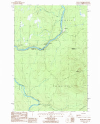 1986 Beaver Pond SE1986 Print · USGSThe northern Maine wilderness of the 1980s is captured here, centered on the confluence of the St John River and its Southwest Branch. Researchers can trace the era's timber and transit network through the Red Pine Grove Landing Strip and remote outposts like Knowles Campsite.
 - 1986 Map of Chamberlain Lake
 1986 Chamberlain Lake1986 Print · USGSThe Maine North Woods in the mid-eighties appear here as a land of protected wilderness and logging heritage, centered on the Allagash Wilderness Waterway. Researchers can trace the historic Tramway at Chamberlain Lake and locate old outposts like Churchill Depot.
 - 1986 Map of Eastman Brook
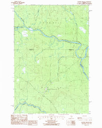 1986 Eastman Brook1986 Print · USGSThe remote Maine timberlands meet at the junction of the Northwest Branch River and Southwest Branch St John River in the mid-1980s. Researchers can trace the boundary of Aroostook and Somerset Counties through a landscape marked by Eastman Brook and isolated Gravel Pits.
 - 1986 Map of Lac Etchemin
 1986 Lac Etchemin1986 Print · USGSThe Maine North Woods at the Quebec border are shown here as a landscape of timber management and remote river branches. Genealogists and historians can trace the logging history at Billy-Jack Depot and the headwaters of the St John River.
 - 1987 Map of Daaquam
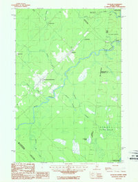 1987 Daaquam1987 Print · USGSThe Maine-Quebec borderlands come into focus in the late 1980s, showcasing the international crossings and remote townships of Somerset County. Researchers can trace the Daaquam River across the boundary, locating the Customhouse and settlements like Saint-Juste-de-Bretenieres.
 - 1989 Map of Hardwood Mountain
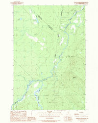 1989 Hardwood Mountain1989 Print · USGSThe Maine-Quebec borderlands are captured here in the late eighties, showing a wilderness defined by the Southwest Branch St John River. Map collectors can trace the international boundary line past Hardwood Mountain and isolated water bodies like Lac Remillard and Lac Pouliot.
 - 1989 Map of Baker Lake NW
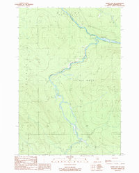 1989 Baker Lake NW1989 Print · USGSDeep in the Somerset County woods during the late 1980s, this survey documents the wild river forks and timberland divisions of Northern Maine. Researchers can trace the winding Baker Branch St John River past the Flaws Bogan Campsite and Sunset Campsite.
 - 1989 Map of Doucie Brook
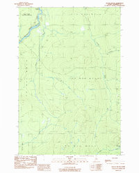 1989 Doucie Brook1989 Print · USGSThis late-century survey captures the Maine North Woods at a time when the region was primarily defined by timber management and remote waterways. Researchers can trace primitive roads and key drainage systems like Knowles Brook, Desolation Pond, and the Doucie Brook Campsite.
 - 1993 Map of Lac Etchemin
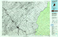 1993 Lac Etchemin1993 Print · USGSThe borderlands of Maine and Quebec in the 1990s are defined here by the international boundary cutting through dense timberlands and the Beauce valley. Researchers can trace the Port of Entry near the Saint John River Southwest Branch and explore the layouts of Beauceville and Lac-Etchemin.
 - 1993 Map of Clayton Lake, 1994 Print
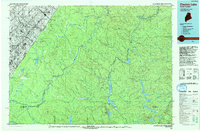 1993 Clayton Lake1994 Print · USGSThe North Woods along the Maine and Quebec border remained a vast wilderness of timber and water in the early nineties. Researchers can trace historic river crossings and remote outposts like Ninemile Bridge, Saint-Pamphile, and the Harvey Farm.
 - 1993 Map of Montmagny, 1994 Print
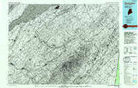 1993 Montmagny1994 Print · USGSThe international borderlands of Maine and Quebec come into focus during the early nineties, from the Saint Lawrence riverfront to the deep North Woods. Researchers can trace historic settlements like Montmagny or follow the remote heights of the Monts Notre-Dame toward Lac Frontière.
 - 1994 Map of Chamberlain Lake
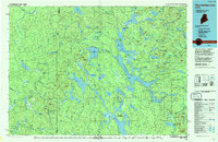 1994 Chamberlain Lake1994 Print · USGSThe North Maine Woods in the early nineties remained a network of logging outposts and protected waterways. You can trace the historic logging infrastructure at Churchill Depot, the portage at Tramway, and remote landings such as Telos Landing.
End of results
Showing maps 1-20 of 20
Top neighborhoods of Big Ten Township
Frequently asked questions
- What are the different types of historical maps available for Big Ten Township?
- What is the oldest map of Big Ten Township?
- Where can I purchase historical maps of Big Ten Township for my home or office?
- Where can I download high-res historical maps of Big Ten Township?
- Are there historical topographic maps available for Big Ten Township?
- Is there historical aerial imagery available for Big Ten Township?
- Where are historical maps of Big Ten Township sourced from?