2020s Maps of Fairfield, Maine
Explore 12 historic maps of Fairfield from the 2020s. These maps offer a rare glimpse into what life looked like during the 2020s — showing old roads, neighborhoods, homes, and landmarks that have changed or disappeared over time.
Whether you're researching your family's past, planning a metal detecting trip, or studying how Fairfield's landscape evolved across the 2020s, these high-resolution maps are a powerful tool for exploring the history of this region.
- Focus on a specific era: All maps on this page are from the 2020s, giving you a focused view of this time period.
- See what’s changed: Compare century-old streets, trails, and buildings to today's modern landscape using overlays and satellite layers.
- Research with precision: Use these maps for genealogy, historical research, land use analysis, or educational projects.
- View, download, or print: Maps are fully viewable online in high resolution, and can be downloaded or printed for your own records.
Start exploring Fairfield's history through authentic maps from the 2020s. This is your window into the past.
Fairfield, ME maps
(12)- 2021 Map of Clinton, 2021 Print
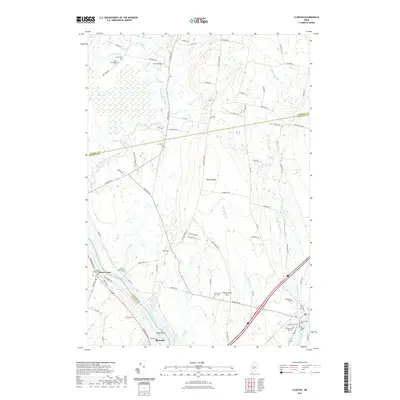 2021 Clinton2021 Print · USGSCovers Fairfield, including Skowhegan, Clinton, and other nearby areas
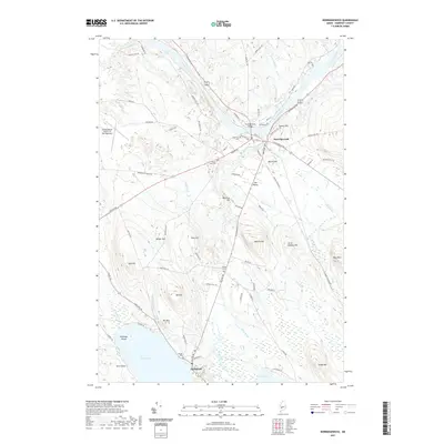
 - 2021 Map of Hinckley, 2021 Print
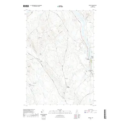 2021 Hinckley2021 Print · USGSCovers Fairfield, including Skowhegan, Clinton, and other nearby areas
 - 2021 Map of Waterville, 2021 Print
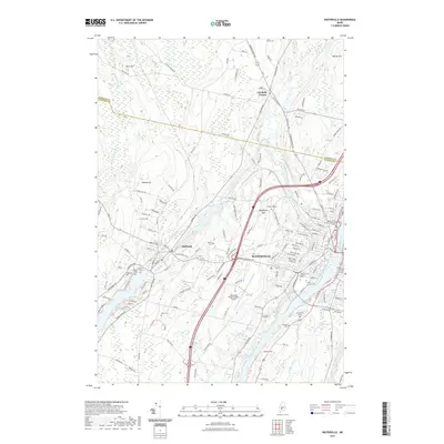 2021 Waterville2021 Print · USGSCovers Fairfield, including Waterville, Winslow, and other nearby areas
 - 2021 Map of Rome, 2021 Print
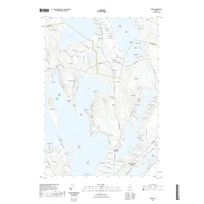 2021 Rome2021 Print · USGSCovers Fairfield, including Oakland, Sidney, and other nearby areas
 - 2021 Map of Fairfield, 2021 Print
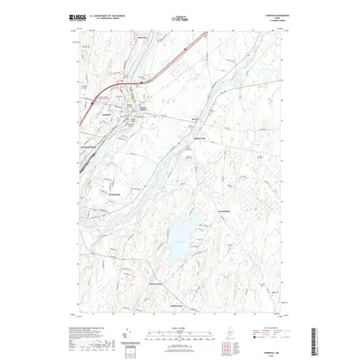 2021 Fairfield2021 Print · USGSCovers Fairfield, including Waterville, Winslow, and other nearby areas
 - 2021 Map of Norridgewock, 2021 Print
 2021 Norridgewock2021 Print · USGSCovers Fairfield, including Norridgewock, Smithfield, and other nearby areas
 - 2024 Map of Fairfield, 2024 Print
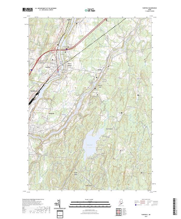 2024 Fairfield2024 Print · USGSThe Kennebec and Sebasticook Rivers converge in this 2024 look at Central Maine, where industrial river towns meet rural homesteads. Genealogists and historians can trace dozens of family burial sites like Tozier Mills Cem and landmarks like Bob-Mar Airport or the Kennebec Valley Community College.
 - 2024 Map of Hinckley, 2024 Print
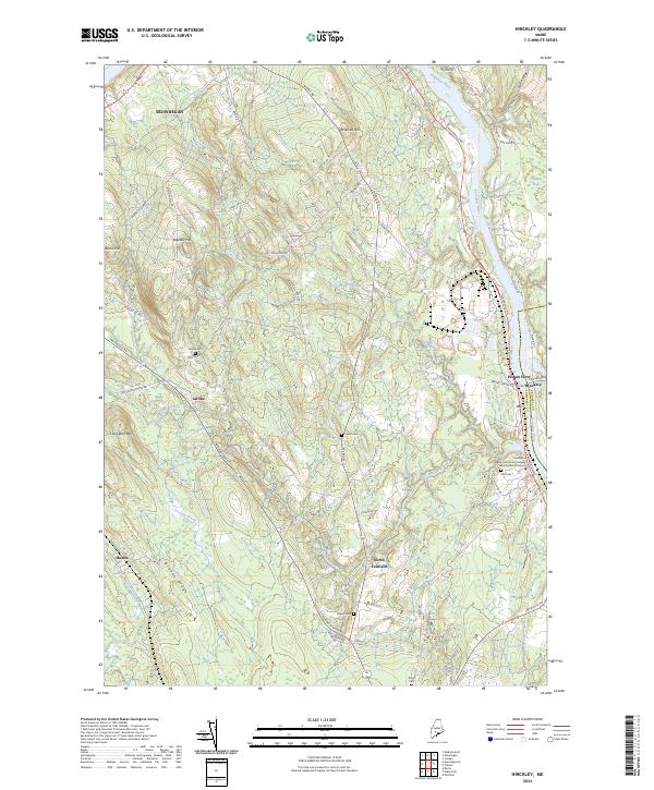 2024 Hinckley2024 Print · USGSThe Kennebec River valley in Somerset County is captured here in the early twenty-first century, showing the rural communities of Central Maine. Researchers can locate historic burial sites like Ellis Cem and Tozier Cem or trace the early crossing at Pishon Ferry.
 - 2024 Map of Clinton, 2024 Print
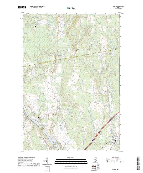 2024 Clinton2024 Print · USGSKennebec County comes alive in this current-era survey of central Maine’s river valleys and ridgelines. Genealogists and historians can locate numerous family burial grounds like Nobles Ferry Cem and Wing Cem or trace the early paths of Battle Ridge.
 - 2024 Map of Norridgewock, 2024 Print
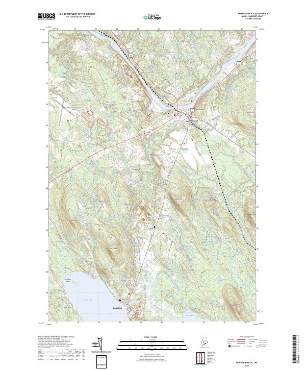 2024 Norridgewock2024 Print · USGSSettled along the Kennebec River in Somerset County, this modern survey captures the rural character and river-linked geography of the region. Genealogists can trace burial sites from Riverview Cem to the isolated Gould Cem, or locate landmarks like Mt Tom.
 - 2024 Map of Rome, 2024 Print
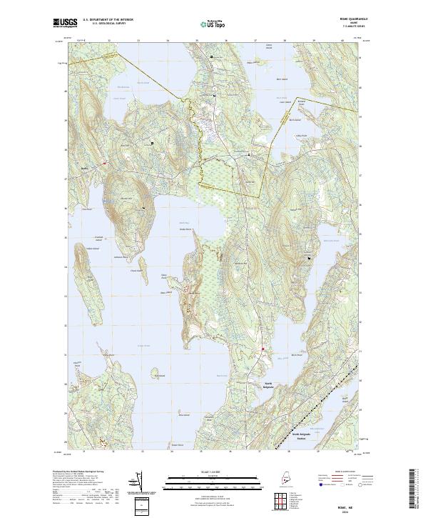 2024 Rome2024 Print · USGSThe Belgrade Lakes region thrives along the Kennebec and Somerset county border in this modern survey. Genealogists can locate several local burying grounds including Tuttle Cem and Smithfield City Cem near the shores of Great Pond.
 - 2024 Map of Waterville, 2024 Print
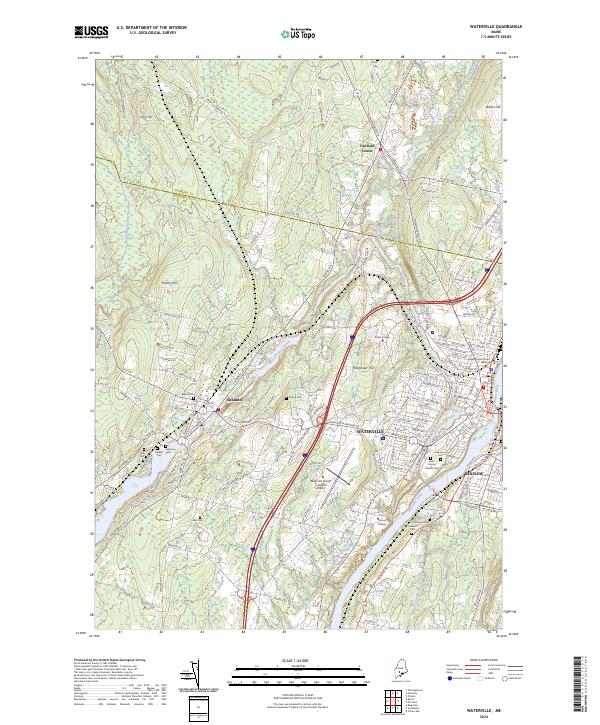 2024 Waterville2024 Print · USGSThe Kennebec River valley in the early 2020s shows a mature college town and regional hub. Genealogists and historians can locate numerous burial sites like Pine Grove Cem and Fort Hill Cemetery or trace the Pan Am Railways corridor.
End of results
Showing maps 1-12 of 12
Top cities near Fairfield
- Waterville historical maps
- Winslow historical maps
- Skowhegan historical maps
- Oakland historical maps
- Madison historical maps
- Sidney historical maps
See more
Top neighborhoods of Fairfield
- Shawmut historical maps
- Hinckley historical maps
- Holway Corner historical maps
- Hoxies historical maps
- Larone historical maps
- North Fairfield historical maps
See more
Frequently asked questions
- What are the different types of historical maps available for Fairfield?
- What is the oldest map of Fairfield?
- Where can I purchase historical maps of Fairfield for my home or office?
- Where can I download high-res historical maps of Fairfield?
- Are there historical topographic maps available for Fairfield?
- Is there historical aerial imagery available for Fairfield?
- Where are historical maps of Fairfield sourced from?