Old Maps of Mainstream, Harmony for Hiking & Exploration
Hike through history with 14 historic maps of Mainstream. Explore old trails, ghost towns, and forgotten backroads — perfect for outdoor adventurers and local explorers.
- Rediscover forgotten places: Map out old mining camps, roads, and footpaths that no longer exist on modern maps.
- Layer with modern tools: Combine with LiDAR or satellite views to plan hikes through historical terrain.
- Made for exploration: Popular among hikers, overlanders, and local history lovers.
Use these maps to find adventure and explore the hidden past of Mainstream.
Mainstream, Harmony maps
(14)- 1913 Map of Skowhegan
 1913 Skowhegan1913 Print · USGSSomerset County thrives as a hub of rail and river industry in this pre-war survey. Genealogists can trace family names through dozens of rural landmarks like Malbons Mills, the Union Church, and neighborhood schoolhouses from Athens to Canaan.4 unique versions available
 - 1948 Map of Bangor
 1948 Bangor1948 Print · USGSThe Maine coast and its industrial river valleys are captured here shortly after the war, showing the vital shipping and rail hubs of the late 1940s. Genealogists and historians can trace the tracks of the Maine Central RR connecting Bangor, Augusta, and Old Town.
 - 1955 Map of Skowhegan, 1958 Print
 1955 Skowhegan1958 Print · USGSSomerset County in the mid-fifties shows a landscape of busy river towns and rural school districts connected by the Maine Central railroad. Genealogists can trace family names through landmarks like Malbons Mills, Cass Corner, and the Somerset Academy.4 unique versions available
 - 1956 Map of Bangor, 1966 Print
 1956 Bangor1966 Print · USGSMid-century Maine comes alive in this survey of the rugged coast and river valleys during the 1950s. Genealogists and historians can trace the vital rail corridors of the Maine Central RR connecting timber towns like Old Town to the coast at Bar Harbor.3 unique versions available
 - 1960 Map of Bangor
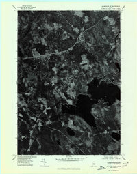
 1960 Bangor1960 Print · USGSCentral Maine in the sixties reveals a landscape of river-powered industry and sprawling coastal island chains. Researchers can trace the rail corridors of the Maine Central or locate mid-century aviation landmarks like Dow Air Force Base.
 - 1961 Map of Bangor
 1961 Bangor1961 Print · USGSMid-century Maine comes alive through its busy river ports and rocky archipelagoes during a period of steady maritime and rail commerce. Researchers can trace the path of the Maine Central railroad and locate coastal landmarks from Acadia National Park to Vinalhaven Island.
 - 1975 Map of Skowhegan NE, 1980 Print
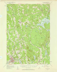
 1975 Skowhegan NE1980 Print · USGSSomerset County, Maine, is captured in this mid-seventies orthophotograph showing the rural transition between forest and farmland. Genealogists and local historians can trace the clearings around Harmony and Mainstream or study the shoreline of Moose Pond.
 - 1985 Map of Skowhegan, 1986 Print
 1985 Skowhegan1986 Print · USGSCentral Maine in the mid-eighties shows a landscape of river-driven industry and rural crossroads. Genealogists can trace family names and farmsteads near Lake George or along the Maine Central Railroad through Pittsfield and Burnham.2 unique versions available
 - 1989 Map of Harmony
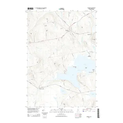
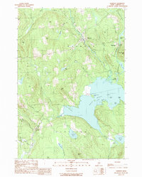 1989 Harmony1989 Print · USGSThe Somerset County countryside surrounding Harmony is captured here in the late eighties, just as the regional landscape balanced its rural roots with recreation. You can trace the Old RR Grade through Mainstream or locate family sites near Great Moose Lake and Corson Corner.
 - 2011 Map of Harmony, 2011 Print
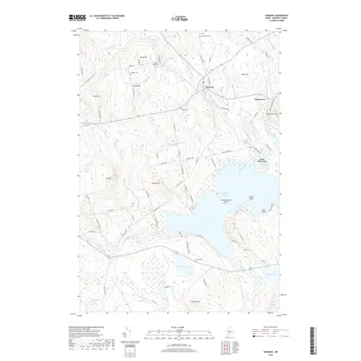
 2011 Harmony2011 Print · USGSCovers Mainstream, including Hartland, Cornville, and other nearby areas
 - 2014 Map of Harmony, 2014 Print
 2014 Harmony2014 Print · USGSCovers Mainstream, including Hartland, Cornville, and other nearby areas
 - 2018 Map of Harmony, 2018 Print
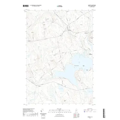
 2018 Harmony2018 Print · USGSCovers Mainstream, including Hartland, Cornville, and other nearby areas
 - 2021 Map of Harmony, 2021 Print
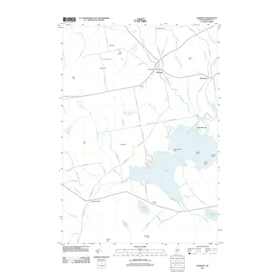
 2021 Harmony2021 Print · USGSCovers Mainstream, including Hartland, Cornville, and other nearby areas
 - 2024 Map of Harmony, 2024 Print
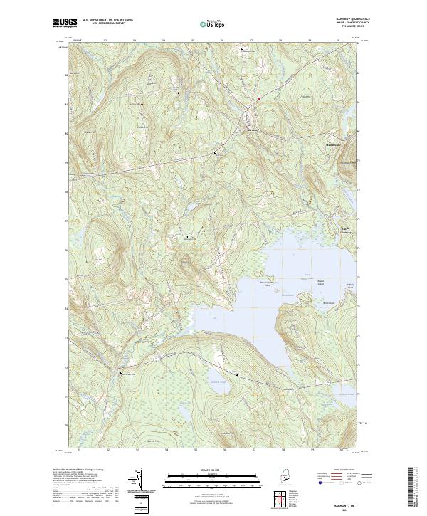 2024 Harmony2024 Print · USGSSomerset County, Maine, is shown in this recent survey as a landscape of interconnected streams and family-named ridges. Genealogists and local historians can trace historical burial sites like Leighton Cem and Jordan Cem or follow the Boise Cascade RR Bed along the Sebasticook River.
End of results
Showing maps 1-14 of 14
Frequently asked questions
- What are the different types of historical maps available for Mainstream?
- What is the oldest map of Mainstream?
- Where can I purchase historical maps of Mainstream for my home or office?
- Where can I download high-res historical maps of Mainstream?
- Are there historical topographic maps available for Mainstream?
- Is there historical aerial imagery available for Mainstream?
- Where are historical maps of Mainstream sourced from?