2020s Maps of Moose River, Maine
Explore 6 historic maps of Moose River from the 2020s. These maps offer a rare glimpse into what life looked like during the 2020s — showing old roads, neighborhoods, homes, and landmarks that have changed or disappeared over time.
Whether you're researching your family's past, planning a metal detecting trip, or studying how Moose River's landscape evolved across the 2020s, these high-resolution maps are a powerful tool for exploring the history of this region.
- Focus on a specific era: All maps on this page are from the 2020s, giving you a focused view of this time period.
- See what’s changed: Compare century-old streets, trails, and buildings to today's modern landscape using overlays and satellite layers.
- Research with precision: Use these maps for genealogy, historical research, land use analysis, or educational projects.
- View, download, or print: Maps are fully viewable online in high resolution, and can be downloaded or printed for your own records.
Start exploring Moose River's history through authentic maps from the 2020s. This is your window into the past.
Moose River, ME maps
(6)- 2021 Map of Jackman, 2021 Print
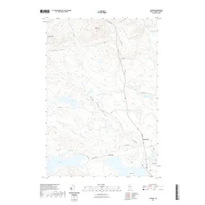 2021 Jackman2021 Print · USGSCovers Moose River, including Jackman, Dennistown Plantation, and other nearby areas
 - 2021 Map of Heald Pond, 2021 Print
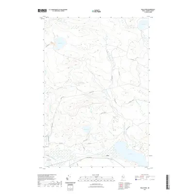 2021 Heald Pond2021 Print · USGSCovers Moose River, including Jackman, Thorndike Township, and other nearby areas
 - 2021 Map of Boundary Bald Mountain, 2021 Print
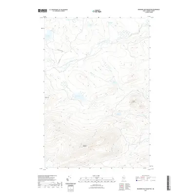 2021 Boundary Bald Mountain2021 Print · USGSCovers Moose River, including Thorndike Township, Alder Brook Township, and other nearby areas
 - 2024 Map of Boundary Bald Mountain, 2024 Print
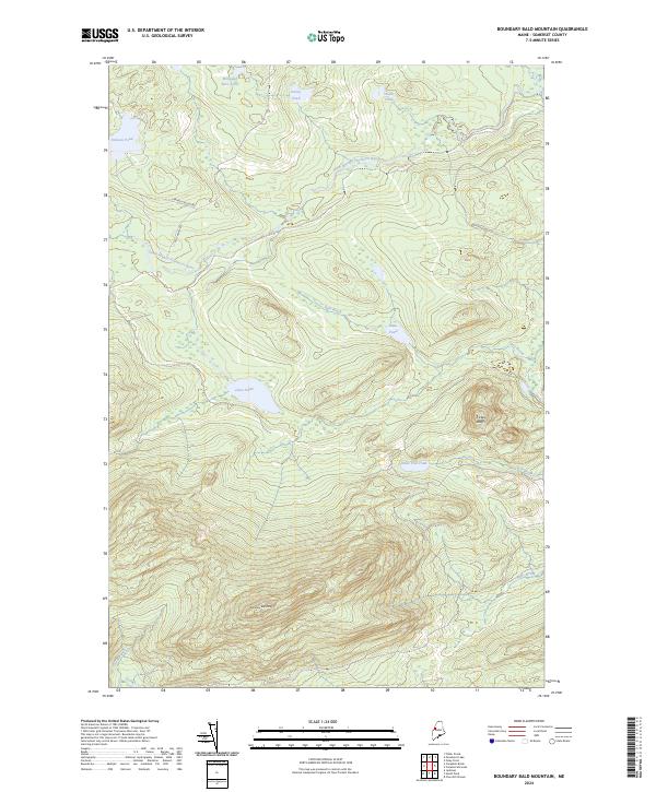 2024 Boundary Bald Mountain2024 Print · USGSSomerset County’s remote timberlands and high-elevation ponds are documented here in the contemporary era. Researchers and outdoorsmen can trace the logging paths of Old Cheney Rd and locate secluded waters like Wounded Deer Pond and Jones Pond.
 - 2024 Map of Jackman, 2024 Print
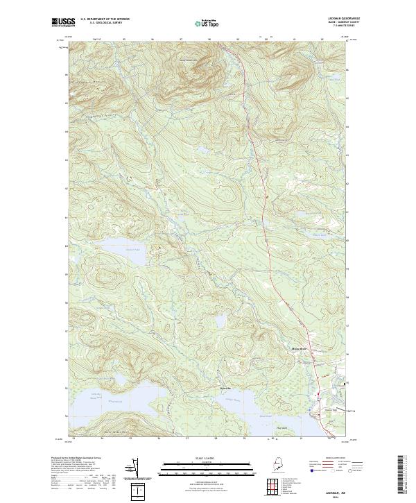 2024 Jackman2024 Print · USGSSomerset County, Maine, is shown here as a landscape of interconnected waterways and timbered peaks during the early twenty-first century. Genealogists and historians can trace local landmarks like Holden Cem, Newton Field, and the small settlement of Dyerville.
 - 2024 Map of Heald Pond, 2024 Print
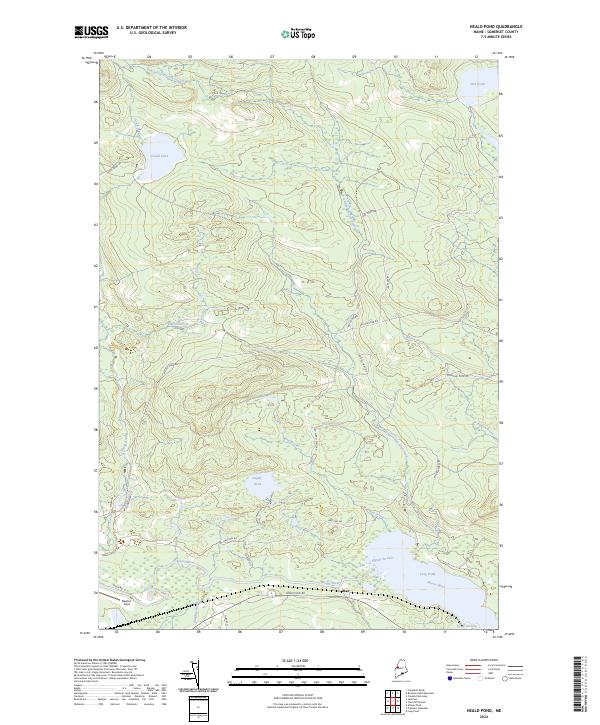 2024 Heald Pond2024 Print · USGSThe remote woods and waterways of Somerset County are documented here in the early twenty-first century. Researchers can trace the timber and sporting geography of the region through landmarks like Blair, Heald Pond, and the reach of the Moose River.
End of results
Showing maps 1-6 of 6
Top cities near Moose River
Frequently asked questions
- What are the different types of historical maps available for Moose River?
- What is the oldest map of Moose River?
- Where can I purchase historical maps of Moose River for my home or office?
- Where can I download high-res historical maps of Moose River?
- Are there historical topographic maps available for Moose River?
- Is there historical aerial imagery available for Moose River?
- Where are historical maps of Moose River sourced from?