2000s (21st Century) Maps of Moxie Gore, Maine
Explore 20 historic maps of Moxie Gore from the 2000s (21st Century). These maps offer a rare glimpse into what life looked like during the 2000s — showing old roads, neighborhoods, homes, and landmarks that have changed or disappeared over time.
Whether you're researching your family's past, planning a metal detecting trip, or studying how Moxie Gore's landscape evolved across the 2000s, these high-resolution maps are a powerful tool for exploring the history of this region.
- Focus on a specific era: All maps on this page are from the 2000s, giving you a focused view of this time period.
- See what’s changed: Compare century-old streets, trails, and buildings to today's modern landscape using overlays and satellite layers.
- Research with precision: Use these maps for genealogy, historical research, land use analysis, or educational projects.
- View, download, or print: Maps are fully viewable online in high resolution, and can be downloaded or printed for your own records.
Start exploring Moxie Gore's history through authentic maps from the 2000s. This is your window into the past.
Moxie Gore, ME maps
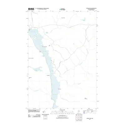
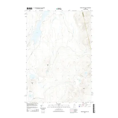
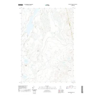
- 2011 Map of Indian Pond South, 2011 Print
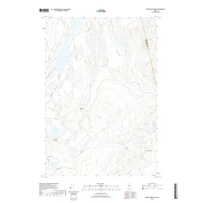
 2011 Indian Pond South2011 Print · USGSCovers Moxie Gore, including Chase Stream Township, East Moxie Township, and other nearby areas
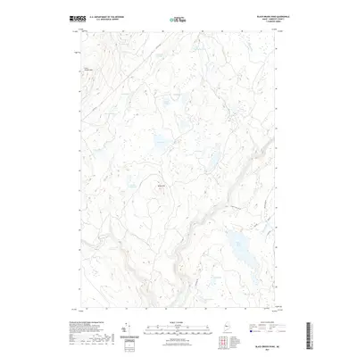
 - 2011 Map of Black Brook Pond, 2011 Print
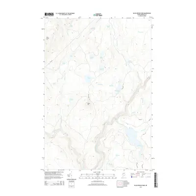
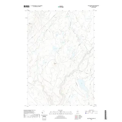
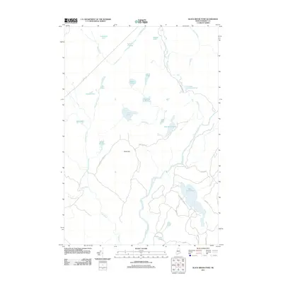 2011 Black Brook Pond2011 Print · USGSCovers Moxie Gore, including West Forks, Johnson Mountain Township, and other nearby areas
 - 2011 Map of Moxie Pond, 2011 Print
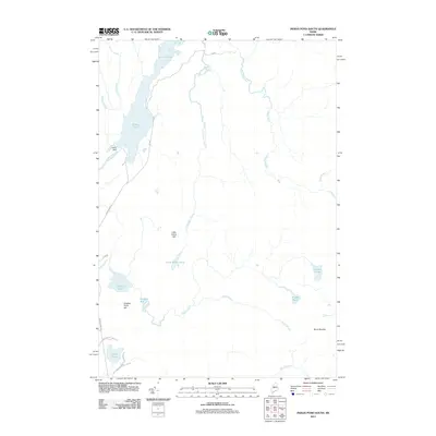
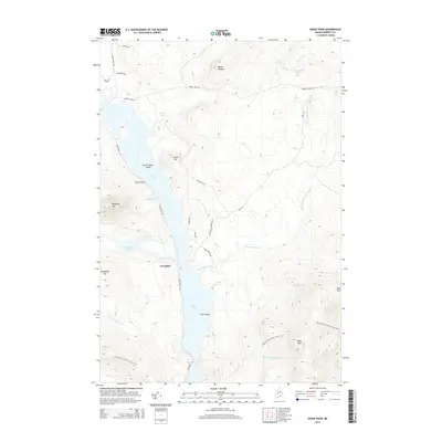
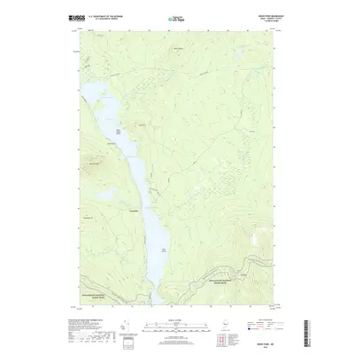
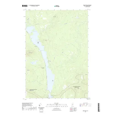
 2011 Moxie Pond2011 Print · USGSCovers Moxie Gore, including Caratunk, The Forks, and other nearby areas
 - 2011 Map of The Forks, 2011 Print
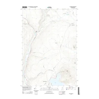
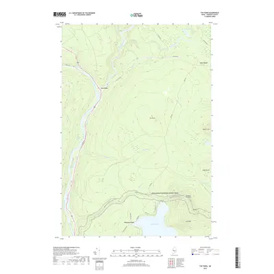
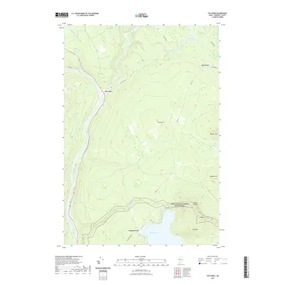
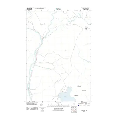 2011 The Forks2011 Print · USGSCovers Moxie Gore, including Caratunk, West Forks, and other nearby areas
 - 2014 Map of Indian Pond South, 2014 Print
 2014 Indian Pond South2014 Print · USGSCovers Moxie Gore, including Chase Stream Township, East Moxie Township, and other nearby areas
 - 2014 Map of Moxie Pond, 2014 Print
 2014 Moxie Pond2014 Print · USGSCovers Moxie Gore, including Caratunk, The Forks, and other nearby areas
 - 2014 Map of Black Brook Pond, 2014 Print
 2014 Black Brook Pond2014 Print · USGSCovers Moxie Gore, including West Forks, Johnson Mountain Township, and other nearby areas
 - 2014 Map of The Forks, 2014 Print
 2014 The Forks2014 Print · USGSCovers Moxie Gore, including Caratunk, West Forks, and other nearby areas
 - 2018 Map of Black Brook Pond, 2018 Print
 2018 Black Brook Pond2018 Print · USGSCovers Moxie Gore, including West Forks, Johnson Mountain Township, and other nearby areas
 - 2018 Map of Indian Pond South, 2018 Print
 2018 Indian Pond South2018 Print · USGSCovers Moxie Gore, including Chase Stream Township, East Moxie Township, and other nearby areas
 - 2018 Map of The Forks, 2018 Print
 2018 The Forks2018 Print · USGSCovers Moxie Gore, including Caratunk, West Forks, and other nearby areas
 - 2018 Map of Moxie Pond, 2018 Print
 2018 Moxie Pond2018 Print · USGSCovers Moxie Gore, including Caratunk, The Forks, and other nearby areas
 - 2021 Map of Black Brook Pond, 2021 Print
 2021 Black Brook Pond2021 Print · USGSCovers Moxie Gore, including West Forks, Johnson Mountain Township, and other nearby areas
 - 2021 Map of Moxie Pond, 2021 Print
 2021 Moxie Pond2021 Print · USGSCovers Moxie Gore, including Caratunk, The Forks, and other nearby areas
 - 2021 Map of Indian Pond South, 2021 Print
 2021 Indian Pond South2021 Print · USGSCovers Moxie Gore, including Chase Stream Township, East Moxie Township, and other nearby areas
 - 2021 Map of The Forks, 2021 Print
 2021 The Forks2021 Print · USGSCovers Moxie Gore, including Caratunk, West Forks, and other nearby areas
 - 2024 Map of Black Brook Pond, 2024 Print
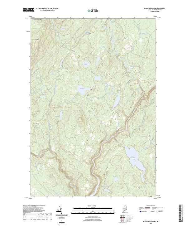 2024 Black Brook Pond2024 Print · USGSThis Somerset County timberland is mapped in detail during the early 2020s, showing the vital waterways that feed the Kennebec valley. Trace remote forest roads and glacial waters including Squirtgun Flowage, Wilson Hill, and the shores of Black Brook Pond.
 - 2024 Map of The Forks, 2024 Print
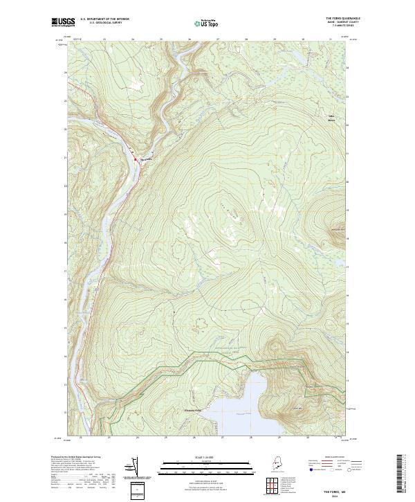 2024 The Forks2024 Print · USGSThe confluence of the Kennebec and Dead River rivers in Maine comes to life in this contemporary survey. Outdoor enthusiasts and local historians can trace the Appalachian National Scenic Trail as it passes Pleasant Pond and identify landmarks like Moxie Falls and The Forks.
 - 2024 Map of Indian Pond South, 2024 Print
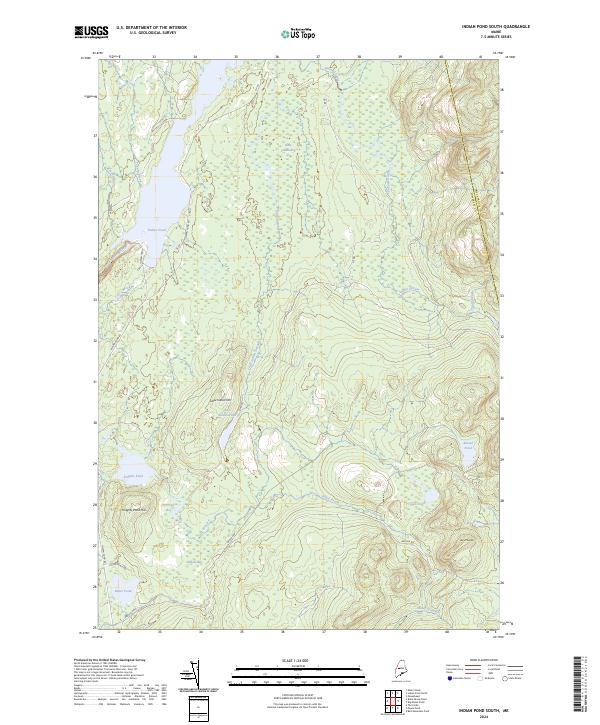 2024 Indian Pond South2024 Print · USGSThe North Maine Woods along the Somerset and Piscataquis county line are documented here in detail. Local historians and researchers can trace the intricate waterways and timber access routes around Indian Pond, Baker Pond, and Little Indian Hill.
 - 2024 Map of Moxie Pond, 2024 Print
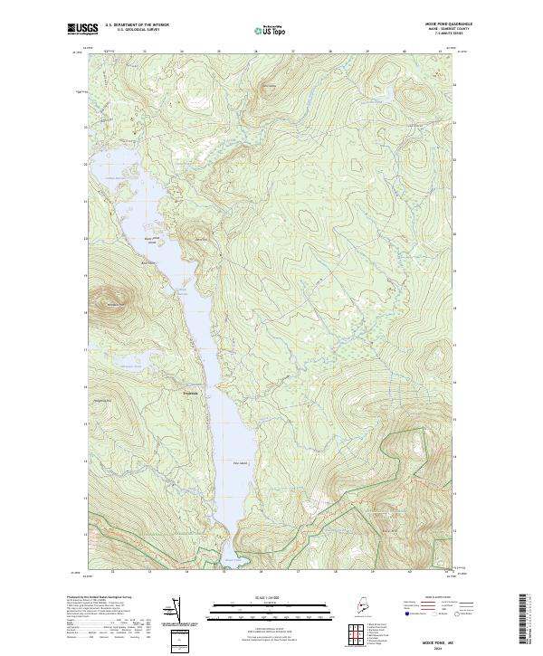 2024 Moxie Pond2024 Print · USGSSomerset County, Maine, is shown in this contemporary study of its deep woods and glacial waters. Hikers and local historians can trace the Appalachian National Scenic Trail as it crosses near Troutdale and the shores of Moxie Pond.
End of results
Showing maps 1-20
Top cities near Moxie Gore
- Jackman historical maps
- Moscow historical maps
- Shirley historical maps
- Blanchard Township historical maps
- Caratunk historical maps
- West Forks historical maps
See more
Frequently asked questions
- What are the different types of historical maps available for Moxie Gore?
- What is the oldest map of Moxie Gore?
- Where can I purchase historical maps of Moxie Gore for my home or office?
- Where can I download high-res historical maps of Moxie Gore?
- Are there historical topographic maps available for Moxie Gore?
- Is there historical aerial imagery available for Moxie Gore?
- Where are historical maps of Moxie Gore sourced from?