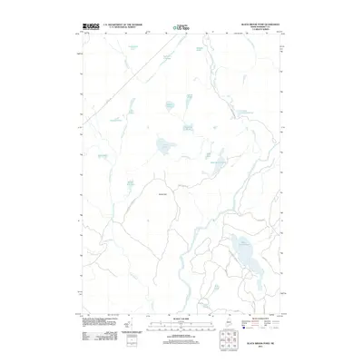
2011 Map of Black Brook Pond
USGS Topo · Published 2011About this map
The Kennebec River carves through this Somerset County wilderness, serving as a primary corridor for a landscape defined by an intricate network of waterways and logging roads. This 2011 survey illustrates the remote character of the Maine woods, where the drainage from Squirtgun Flowage and Chase Stream feeds into larger basins. Notable elevations like Wilson Hill overlook a series of glacial features including Black Brook Pond, Long Pond, and Horseshoe Pond. The map reveals a specialized infrastructure for outdoor access and resource management, documented through routes such as Capital Rd and Dead Stream Rd, which penetrate the forest to reach secluded sites like Tobey Pond and Island Pond. This is a portrait of a working landscape where the timber and recreational economies meet the natural flow of the North Woods.
Find a feature on this map
34 named features on this map. Tap any name to fly to it.
Don’t see what you’re looking for? This feature index may not catch every label — zoom into the map to look around manually.
Map Details
Editions of this 2011 Black Brook Pond Map
This is the sole edition of this map. No revisions or reprints were ever made.
Other maps of this area

1905 · The Forks
USGS Topo · 1:62,500

1907 · The Forks
USGS Topo · 1:62,500

1921 · Brassua Lake
USGS Topo · 1:62,500

1922 · Long Pond
USGS Topo · 1:62,500

1923 · Brassua Lake
USGS Topo · 1:62,500

1924 · Long Pond
USGS Topo · 1:62,500

1925 · Pierce Pond
USGS Topo · 1:48,000

1927 · Pierce Pond
USGS Topo · 1:62,500

1944 · Brassua Lake
USGS Topo · 1:62,500

1944 · Long Pond
USGS Topo · 1:62,500
Featured Places
- West Forks, ME
- Johnson Mountain Township, ME
- Chase Stream Township, ME
- Moxie Gore, ME
- Indian Stream Township, ME