
1922 Map of Long Pond
USGS Topo · Published 1955About this map
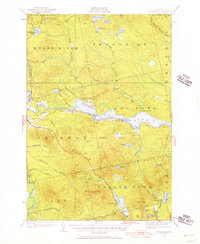
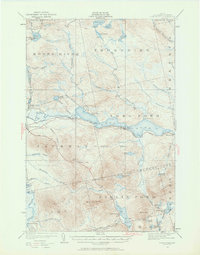
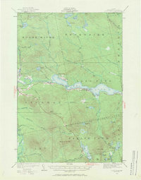
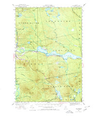
Jackman Station serves as a vital western Somerset County gateway in this 1922 survey, anchoring a remote landscape where the Canadian Pacific railroad parallels the course of the Moose River. This era of the Maine woods was defined by the transition from rugged logging camps like Camp No 2 and industrial sites such as Jackman Mill to early tourism. Family-named landmarks including Whipple Farm and Fogg Farm are situated alongside recreational destinations like Hughey Camp and Tourist Camp near Owls Head. The map illustrates a complex hydraulic network essential to the timber industry, from the Upper Narrows of Long Pond to the secluded waters of Attean Pond and Lake Parlin. Settlement patterns are concentrated along the rail line and the valley floor, while expansive tracts like Misery Gore and Thorndike remain sparsely inhabited mountain terrain.
Find a feature on this map
66 named features on this map. Tap any name to fly to it.
Don’t see what you’re looking for? This feature index may not catch every label — zoom into the map to look around manually.
Map Details
Editions of this 1922 Long Pond Map
5 editions found
Other maps of this area

1905 · The Forks
USGS Topo · 1:62,500

1907 · The Forks
USGS Topo · 1:62,500

1921 · Brassua Lake
USGS Topo · 1:62,500

1923 · Brassua Lake
USGS Topo · 1:62,500

1923 · Attean
USGS Topo · 1:62,500

1924 · Long Pond
USGS Topo · 1:62,500

1925 · Pierce Pond
USGS Topo · 1:48,000

1925 · Attean
USGS Topo · 1:62,500

1927 · Sandy Bay
USGS Topo · 1:48,000

1927 · Pierce Pond
USGS Topo · 1:62,500