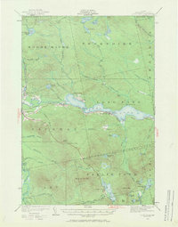
1922 Map of Long Pond
USGS Topo · Published 1970About this map
Long Pond dominates this 1922 survey of Somerset County, Maine, serving as a primary corridor for the Canadian railroad which skirts its southern shore. The map reveals a landscape defined by the transition from timber industry outposts to early recreation, featuring industrial markers like Jackman Mill alongside several named camps and farmsteads. Settlement is clustered around transportation hubs such as Jackman Station and the remote rail stop at Mackamp, while the interior remains sparsely populated with scattered clearings for Whipple Farm and Fogg Farm.
Find a feature on this map
62 named features on this map. Tap any name to fly to it.
Don’t see what you’re looking for? This feature index may not catch every label — zoom into the map to look around manually.
Map Details
Editions of this 1922 Long Pond Map
5 editions found
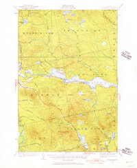
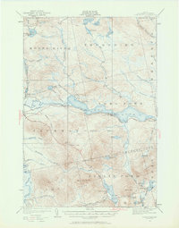
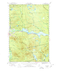
Other maps of this area

1905 · The Forks
USGS Topo · 1:62,500

1907 · The Forks
USGS Topo · 1:62,500

1921 · Brassua Lake
USGS Topo · 1:62,500

1922 · Long Pond
USGS Topo · 1:62,500

1923 · Brassua Lake
USGS Topo · 1:62,500

1923 · Attean
USGS Topo · 1:62,500

1924 · Long Pond
USGS Topo · 1:62,500

1925 · Pierce Pond
USGS Topo · 1:48,000

1925 · Attean
USGS Topo · 1:62,500

1927 · Sandy Bay
USGS Topo · 1:48,000