
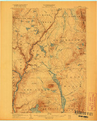
1907 Map of The Forks
USGS Topo · Published 1907About this map
The confluence of the Kennebec River and the Dead River forms the geographical heart of this Somerset County survey, conducted just as the Somerset R. R. reached into this timber-rich wilderness. This era in the Maine North Woods was defined by the transition from river driving to rail transport, a shift evidenced by the presence of logging infrastructure like Squirtgun Dam and various unnamed Dam sites alongside the new tracks.
Find a feature on this map
78 named features on this map. Tap any name to fly to it.
Don’t see what you’re looking for? This feature index may not catch every label — zoom into the map to look around manually.
Map Details
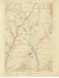
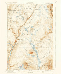
Editions of this 1907 The Forks Map
4 editions found
Other maps of this area

1903 · Bingham
USGS Topo · 1:62,500

1905 · Bingham
USGS Topo · 1:62,500

1905 · The Forks
USGS Topo · 1:62,500

1920 · Moosehead Lake
USGS Topo · 1:62,500

1921 · Brassua Lake
USGS Topo · 1:62,500

1922 · Moosehead Lake
USGS Topo · 1:62,500

1922 · Long Pond
USGS Topo · 1:62,500

1923 · Brassua Lake
USGS Topo · 1:62,500

1924 · Long Pond
USGS Topo · 1:62,500

1925 · Pierce Pond
USGS Topo · 1:48,000