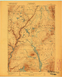
1907 Map of The Forks
USGS Topo · Published 1918About this map
The Forks serves as the focal point of this 1907 survey, situated at the confluence where the Kennebec River meets its eastern branches. This era in Somerset County was defined by the logging industry and the expansion of the Somerset R. R., which winds along the riverbank past landmarks like The Rocks. The landscape is a network of township boundaries and large land grants, including the 10000 Acre Tract and Moxie Gore, reflecting the Maine North Woods' history of private timber holdings. Water management for log driving is evident at Squirt Gun Dam on Indian Stream and the dramatic ninety-foot Falls on Moxie Stream. Higher elevations such as Mosquito Mtn and Bald Mountain overlook a terrain dotted with remote logging camps and the Tote Road used for transporting supplies through the deep woods.
Find a feature on this map
87 named features on this map. Tap any name to fly to it.
Don’t see what you’re looking for? This feature index may not catch every label — zoom into the map to look around manually.
Map Details
Editions of this 1907 The Forks Map
4 editions found
Other maps of this area

1903 · Bingham
USGS Topo · 1:62,500

1905 · Bingham
USGS Topo · 1:62,500

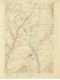
1905 · The Forks
USGS Topo · 1:62,500

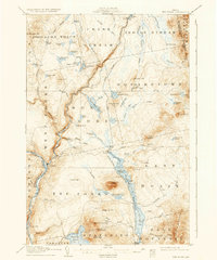
1907 · The Forks
USGS Topo · 1:62,500

1920 · Moosehead Lake
USGS Topo · 1:62,500

1921 · Brassua Lake
USGS Topo · 1:62,500

1922 · Moosehead Lake
USGS Topo · 1:62,500

1922 · Long Pond
USGS Topo · 1:62,500

1923 · Brassua Lake
USGS Topo · 1:62,500

1924 · Long Pond
USGS Topo · 1:62,500