2020s Maps of Pierce Pond Township, Maine
Explore 8 historic maps of Pierce Pond Township from the 2020s. These maps offer a rare glimpse into what life looked like during the 2020s — showing old roads, neighborhoods, homes, and landmarks that have changed or disappeared over time.
Whether you're researching your family's past, planning a metal detecting trip, or studying how Pierce Pond Township's landscape evolved across the 2020s, these high-resolution maps are a powerful tool for exploring the history of this region.
- Focus on a specific era: All maps on this page are from the 2020s, giving you a focused view of this time period.
- See what’s changed: Compare century-old streets, trails, and buildings to today's modern landscape using overlays and satellite layers.
- Research with precision: Use these maps for genealogy, historical research, land use analysis, or educational projects.
- View, download, or print: Maps are fully viewable online in high resolution, and can be downloaded or printed for your own records.
Start exploring Pierce Pond Township's history through authentic maps from the 2020s. This is your window into the past.
Pierce Pond Township, ME maps
(8)- 2021 Map of Basin Mountain, 2021 Print
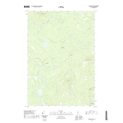 2021 Basin Mountain2021 Print · USGSCovers Pierce Pond Township, including T3 R5 BKP WKR, Hayden Landing, and other nearby areas
 - 2021 Map of Pierce Pond, 2021 Print
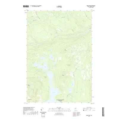 2021 Pierce Pond2021 Print · USGSCovers Pierce Pond Township, including West Forks, Bowtown Township, and other nearby areas
 - 2021 Map of East Carry Pond, 2021 Print
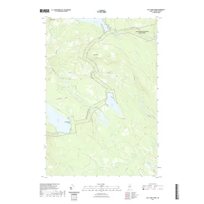 2021 East Carry Pond2021 Print · USGSCovers Pierce Pond Township, including Pleasant Ridge Plantation, Caratunk, and other nearby areas
 - 2021 Map of Little Bigelow Mountain, 2021 Print
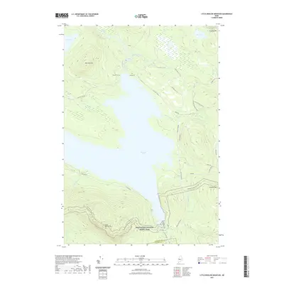 2021 Little Bigelow Mountain2021 Print · USGSCovers Pierce Pond Township, including Carrabassett Valley, Highland Plantation, and other nearby areas
 - 2024 Map of Basin Mountain, 2024 Print
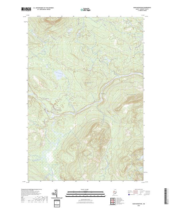 2024 Basin Mountain2024 Print · USGSSomerset County’s wilderness is mapped here in the modern era, showing the rugged river valleys and high peaks of the Maine interior. Trace the course of the Dead River through Spencer Rips and Grand Falls or locate remote landmarks like The Norways.
 - 2024 Map of Little Bigelow Mountain, 2024 Print
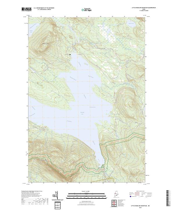 2024 Little Bigelow Mountain2024 Print · USGSThe Maine wilderness of Somerset County is captured here in the contemporary era, centered on the expansive waters of Flagstaff Lake. Hikers and historians can trace the Appalachian National Scenic Trl or locate the Flagstaff Cem and the heights of Little Bigelow Mtn.
 - 2024 Map of Pierce Pond, 2024 Print
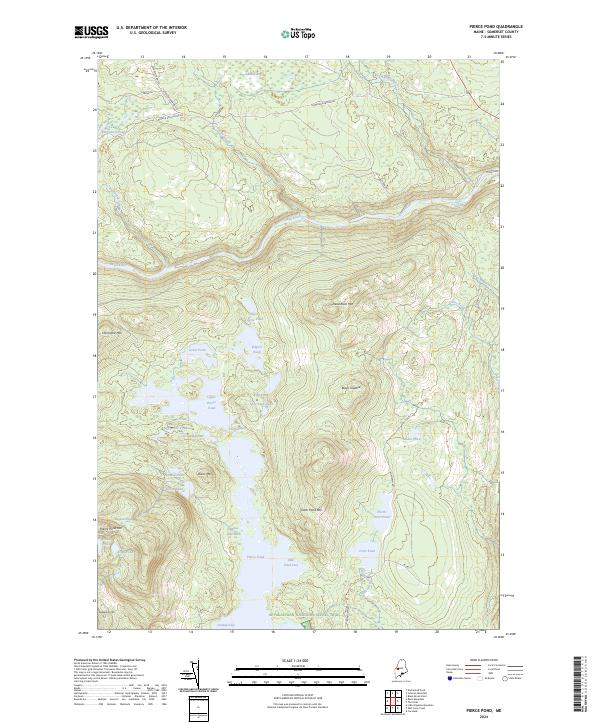 2024 Pierce Pond2024 Print · USGSSomerset County's remote pond country is captured here in the early twenty-first century, showing the intersection of legendary trails and deep-woods timber roads. Hikers and historians can trace the Appalachian National Scenic Trail as it winds past Pierce Pond and Poplar Hill Falls.
 - 2024 Map of East Carry Pond, 2024 Print
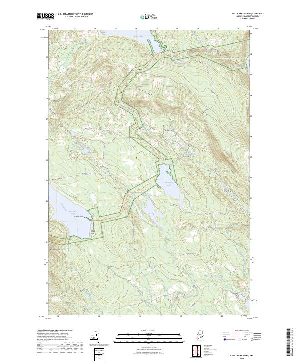 2024 East Carry Pond2024 Print · USGSThe Somerset County backcountry is shown here in modern detail, centered on the chain of the Carry Ponds. Hikers and historians can trace the Appalachian National Scenic Trail past Arnolds Point and across Bates Ridge.
End of results
Showing maps 1-8 of 8
Top cities near Pierce Pond Township
- Carrabassett Valley historical maps
- Moscow historical maps
- Pleasant Ridge Plantation historical maps
- Wyman Township historical maps
- Caratunk historical maps
- Highland Plantation historical maps
See more
Top neighborhoods of Pierce Pond Township
Frequently asked questions
- What are the different types of historical maps available for Pierce Pond Township?
- What is the oldest map of Pierce Pond Township?
- Where can I purchase historical maps of Pierce Pond Township for my home or office?
- Where can I download high-res historical maps of Pierce Pond Township?
- Are there historical topographic maps available for Pierce Pond Township?
- Is there historical aerial imagery available for Pierce Pond Township?
- Where are historical maps of Pierce Pond Township sourced from?