2000s (21st Century) Maps of Pittsfield, Maine
Explore 25 historic maps of Pittsfield from the 2000s (21st Century). These maps offer a rare glimpse into what life looked like during the 2000s — showing old roads, neighborhoods, homes, and landmarks that have changed or disappeared over time.
Whether you're researching your family's past, planning a metal detecting trip, or studying how Pittsfield's landscape evolved across the 2000s, these high-resolution maps are a powerful tool for exploring the history of this region.
- Focus on a specific era: All maps on this page are from the 2000s, giving you a focused view of this time period.
- See what’s changed: Compare century-old streets, trails, and buildings to today's modern landscape using overlays and satellite layers.
- Research with precision: Use these maps for genealogy, historical research, land use analysis, or educational projects.
- View, download, or print: Maps are fully viewable online in high resolution, and can be downloaded or printed for your own records.
Start exploring Pittsfield's history through authentic maps from the 2000s. This is your window into the past.
Pittsfield, ME maps
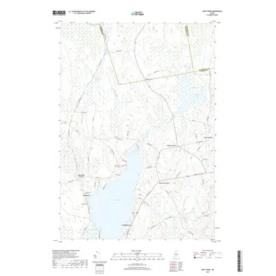
(25)- 2011 Map of Unity Pond, 2011 Print
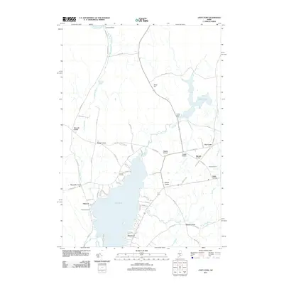 2011 Unity Pond2011 Print · USGSCovers Pittsfield, including Unity, Plymouth, and other nearby areas
 - 2011 Map of Canaan, 2011 Print
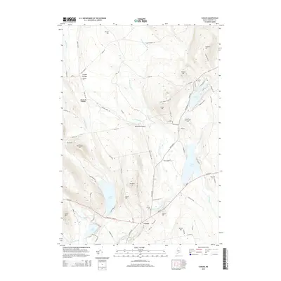
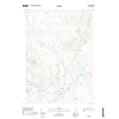
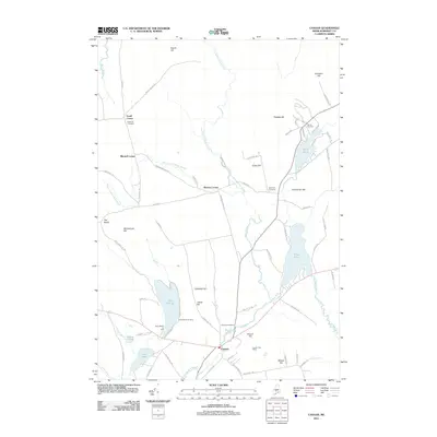 2011 Canaan2011 Print · USGSCovers Pittsfield, including Skowhegan, Canaan, and other nearby areas
 - 2011 Map of Pittsfield, 2011 Print
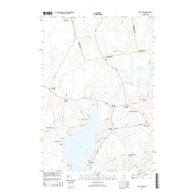
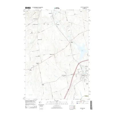
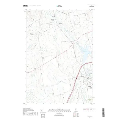
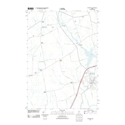 2011 Pittsfield2011 Print · USGSCovers Pittsfield, including Canaan, Palmyra, and other nearby areas
 - 2011 Map of Burnham, 2011 Print
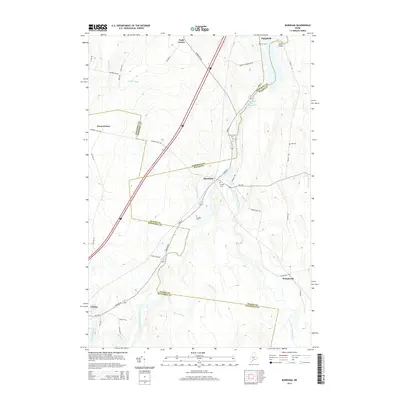
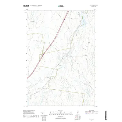
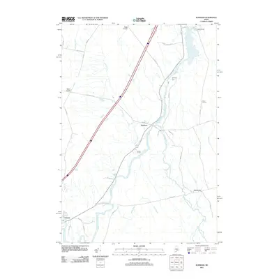 2011 Burnham2011 Print · USGSCovers Pittsfield, including Clinton, Unity, and other nearby areas
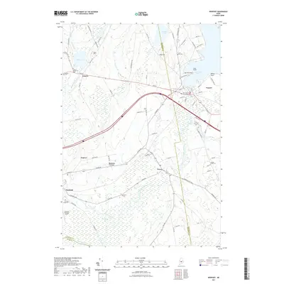
 - 2011 Map of Newport, 2011 Print
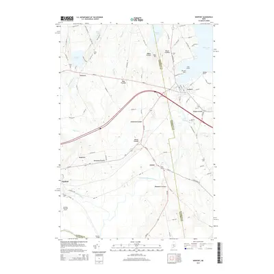
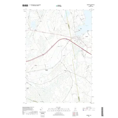
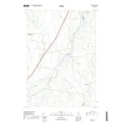
 2011 Newport2011 Print · USGSCovers Pittsfield, including Newport, Palmyra, and other nearby areas
 - 2014 Map of Unity Pond, 2014 Print
 2014 Unity Pond2014 Print · USGSCovers Pittsfield, including Unity, Plymouth, and other nearby areas
 - 2014 Map of Newport, 2014 Print
 2014 Newport2014 Print · USGSCovers Pittsfield, including Newport, Palmyra, and other nearby areas
 - 2014 Map of Burnham, 2014 Print
 2014 Burnham2014 Print · USGSCovers Pittsfield, including Clinton, Unity, and other nearby areas
 - 2014 Map of Pittsfield, 2014 Print
 2014 Pittsfield2014 Print · USGSCovers Pittsfield, including Canaan, Palmyra, and other nearby areas
 - 2014 Map of Canaan, 2014 Print
 2014 Canaan2014 Print · USGSCovers Pittsfield, including Skowhegan, Canaan, and other nearby areas
 - 2018 Map of Canaan, 2018 Print
 2018 Canaan2018 Print · USGSCovers Pittsfield, including Skowhegan, Canaan, and other nearby areas
 - 2018 Map of Newport, 2018 Print
 2018 Newport2018 Print · USGSCovers Pittsfield, including Newport, Palmyra, and other nearby areas
 - 2018 Map of Burnham, 2018 Print
 2018 Burnham2018 Print · USGSCovers Pittsfield, including Clinton, Unity, and other nearby areas
 - 2018 Map of Pittsfield, 2018 Print
 2018 Pittsfield2018 Print · USGSCovers Pittsfield, including Canaan, Palmyra, and other nearby areas
 - 2018 Map of Unity Pond, 2018 Print
 2018 Unity Pond2018 Print · USGSCovers Pittsfield, including Unity, Plymouth, and other nearby areas
 - 2021 Map of Unity Pond, 2021 Print
 2021 Unity Pond2021 Print · USGSCovers Pittsfield, including Unity, Plymouth, and other nearby areas
 - 2021 Map of Burnham, 2021 Print
 2021 Burnham2021 Print · USGSCovers Pittsfield, including Clinton, Unity, and other nearby areas
 - 2021 Map of Canaan, 2021 Print
 2021 Canaan2021 Print · USGSCovers Pittsfield, including Skowhegan, Canaan, and other nearby areas
 - 2021 Map of Newport, 2021 Print
 2021 Newport2021 Print · USGSCovers Pittsfield, including Newport, Palmyra, and other nearby areas
 - 2021 Map of Pittsfield, 2021 Print
 2021 Pittsfield2021 Print · USGSCovers Pittsfield, including Canaan, Palmyra, and other nearby areas
 - 2024 Map of Canaan, 2024 Print
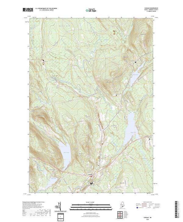 2024 Canaan2024 Print · USGSCanaan and its surrounding Somerset County highlands are captured here in the twenty-first century, showcasing a landscape defined by deep-rooted cemeteries and glacial ponds. Genealogists can trace family names at Old Village Cem, Slab City Cem, or Nevins Cem.
 - 2024 Map of Burnham, 2024 Print
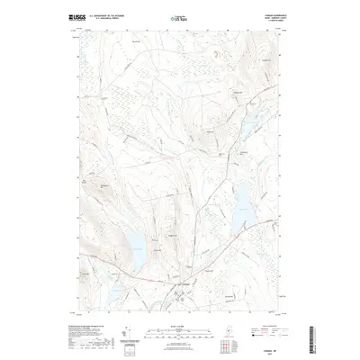
 2024 Burnham2024 Print · USGSCentral Maine's river valleys and rural townships are captured here in a moment of modern continuity. Researchers can trace ancestral locations through numerous family burial sites such as Huff Cem, Weymouth Cem, and the riverfront settlement at Burnham.
 - 2024 Map of Pittsfield, 2024 Print
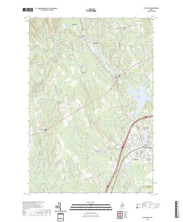 2024 Pittsfield2024 Print · USGSSomerset County’s river-driven landscape is captured here in the contemporary era, centered on the historic corridor of the Sebasticook River. Researchers can locate several rural burial sites like West Pittsfield Cem and trace the development of West Palmyra and Waverley.
 - 2024 Map of Newport, 2024 Print
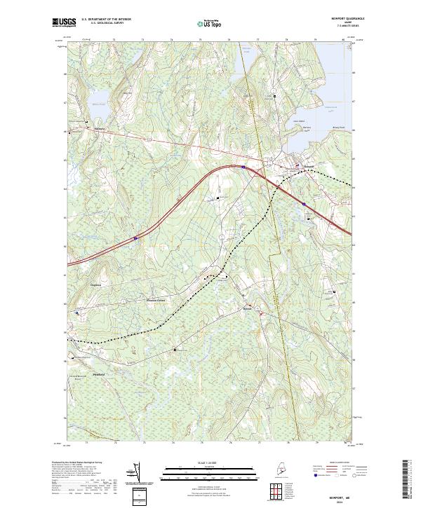 2024 Newport2024 Print · USGSThe crossroads of Newport and the shores of Sebasticook Lake are captured here at the Somerset and Penobscot county line. Genealogists and local historians can trace family plots at Riverside Cem and Detroit Village Cem or locate the quiet settlements of Houston Corner and Palmyra.
 - 2024 Map of Unity Pond, 2024 Print
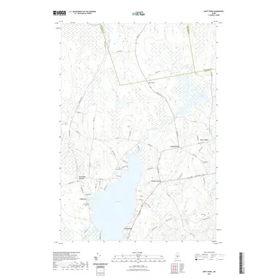
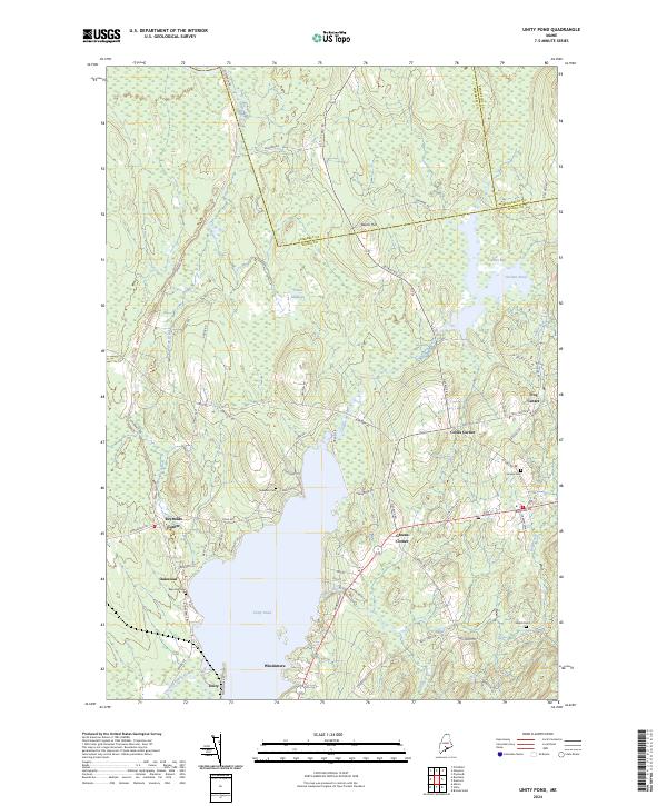 2024 Unity Pond2024 Print · USGSThe rural Maine landscape around Unity Pond is shown here as it appears today, defined by its traditional crossroads and extensive wetlands. Genealogists and local historians can locate several family burial grounds like Reynolds Cem and Fairview Cem near historic hamlets such as Troy Center.
End of results
Showing maps 1-25 of 25
Top cities near Pittsfield
- Waterville historical maps
- Winslow historical maps
- Fairfield historical maps
- Skowhegan historical maps
- Dexter historical maps
- Clinton historical maps
See more
Top neighborhoods of Pittsfield
- Tilton Corner historical maps
- Waverley historical maps
- Burton Corner historical maps
- Emerson Corner historical maps
- Nash Corner historical maps
- Phillips Corner historical maps
See more
Frequently asked questions
- What are the different types of historical maps available for Pittsfield?
- What is the oldest map of Pittsfield?
- Where can I purchase historical maps of Pittsfield for my home or office?
- Where can I download high-res historical maps of Pittsfield?
- Are there historical topographic maps available for Pittsfield?
- Is there historical aerial imagery available for Pittsfield?
- Where are historical maps of Pittsfield sourced from?