Old Maps of Pittston Academy Grant, Maine for Hiking & Exploration
Hike through history with 41 historic maps of Pittston Academy Grant. Explore old trails, ghost towns, and forgotten backroads — perfect for outdoor adventurers and local explorers.
- Rediscover forgotten places: Map out old mining camps, roads, and footpaths that no longer exist on modern maps.
- Layer with modern tools: Combine with LiDAR or satellite views to plan hikes through historical terrain.
- Made for exploration: Popular among hikers, overlanders, and local history lovers.
Use these maps to find adventure and explore the hidden past of Pittston Academy Grant.
Pittston Academy Grant, ME maps
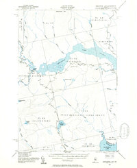
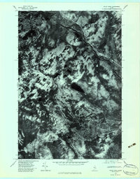
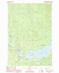
(41)- 1949 Map of Jackman
 1949 Jackman1949 Print · USGSThe Quebec and Maine borderlands are shown in great detail during the late 1940s, highlighting the industrial and natural geography of the region. Trace old rail lines like the Canadian Pacific and locate settlements from Sherbrooke to Scotstown.2 unique versions available
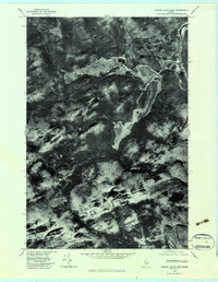
 - 1954 Map of Seboomook Lake, 1955 Print
 1954 Seboomook Lake1955 Print · USGSThe Maine North Woods in the 1950s was a landscape of timber tracts and managed waterways. You can trace early logging infrastructure and remote outposts like Pittston Farm and Seboomook Lake.6 unique versions available
 - 1954 Map of Millinocket, 1968 Print
 1954 Millinocket1968 Print · USGSMaine's North Woods and the Penobscot Valley are captured here during the mid-century era of logging and rail dominance. You can trace the path of the Bangor and Aroostook Railroad through timber towns like Millinocket, Mattawamkeag, and Silver Ridge.3 unique versions available
 - 1956 Map of Penobscot Lake, 1960 Print
 1956 Penobscot Lake1960 Print · USGSThe Maine-Quebec borderlands in the mid-1950s reveal a landscape of timber townships and remote waterways. Trace the Bald Mtn Trail to the Lookout Tower or explore the vast Penobscot Lake and the North Branch Penobscot River.4 unique versions available
 - 1958 Map of Millinocket
 1958 Millinocket1958 Print · USGSMaine's North Woods and the Penobscot river valley are captured here in the mid-1950s, showing a landscape of timber, rail, and wild waters. Researchers can trace the legacy of the Canadian Pacific railroad and find historic settlements like Millinocket, Sherman Station, and Mattawamkeag.
 - 1960 Map of Millinocket
 1960 Millinocket1960 Print · USGSThe Maine North Woods and Penobscot River valley are captured at mid-century during the height of the paper milling era. Researchers can trace the Appalachian Trail near Mount Katardin or locate family roots in towns like Dover-Foxcroft and Milo.3 unique versions available
 - 1963 Map of Jackman
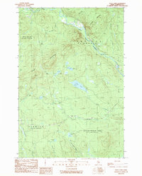
 1963 Jackman1963 Print · USGSThe international borderlands of Maine and Quebec come alive in the mid-twentieth century, showing a landscape of timber towns and rail connections. Genealogists and historians can trace the paths of the Canadian Pacific Railway through Jackman or locate families in Sherbrooke and Megantic.
 - 1966 Map of Sherbrooke
 1966 Sherbrooke1966 Print · USGSThe borderlands of Quebec and Maine come alive in the mid-1960s, documenting the industrial towns and deep woods of the Northeast. Genealogists can trace family lines through Sherbrooke and Coaticook, or locate remote logging outposts along the Moose River and Flagstaff Lake.
 - 1976 Map of Sherbrooke
 1976 Sherbrooke1976 Print · USGSThe northern Maine woods and Quebec’s Eastern Townships meet in this mid-century survey of the rugged international borderlands. Genealogists and historians can trace rail-and-river connections through Thetford Mines, follow the Dead River to Flagstaff Lake, or locate small border crossings at Stanhope and Beecher Falls.2 unique versions available
 - 1977 Map of Tomhegan Pond, 1981 Print
 1977 Tomhegan Pond1981 Print · USGSMaine's northern interior remains a quiet landscape of water and wood in the late seventies. You can trace the winding South Branch Penobscot River and examine the natural shorelines of Tomhegan Pond and Center Pond.
 - 1977 Map of Seboomook Lake West, 1981 Print
 1977 Seboomook Lake West1981 Print · USGSThe Maine wilderness in the late seventies is centered on the confluence of the North Branch Penobscot River. Genealogists and historians can trace the remote Pittston Farm and the winding shores of Seboomook Lake.
 - 1979 Map of Foley Pond, 1983 Print
 1979 Foley Pond1983 Print · USGSMaine's North Woods are documented in this late-seventies aerial study, showing the wilderness of Somerset County before modern development. Outdoorsmen and historians can trace the paths of the North Branch Penobscot River and the shores of Foley Pond.
 - 1979 Map of Canada Falls Lake, 1983 Print
 1979 Canada Falls Lake1983 Print · USGSSomerset County, Maine, is captured in this late 1970s orthophotoquad showing the northern wilderness at a transition point in modern land management. Trace the winding shoreline of Canada Falls Lake and the intricate bends of the South Branch Penobscot River.
 - 1985 Map of Moosehead Lake, 1986 Print
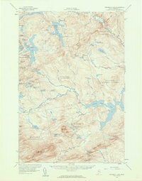
 1985 Moosehead Lake1986 Print · USGSThe Maine North Woods in the 1980s remain a landscape of vast timberlands, railroads, and the sprawling waters of the state's largest lake. Researchers can trace the Canadian Pacific line through Rockwood or locate historical townships from Seboomook to Kokadjo.
 - 1986 Map of Megantic
 1986 Megantic1986 Print · USGSSettlement and industry along the international border define this mid-1980s survey of the Maine north woods. Genealogists and historians can trace the Canadian Pacific rail line through Jackman Station, Lowelltown, and the Jackman Mill.
 - 1989 Map of Canada Falls Lake
 1989 Canada Falls Lake1989 Print · USGSSomerset County's timberlands and waterways are captured in the late eighties, documenting a remote region of northern Maine. Researchers can trace the drainage of the South Branch Penobscot River and locate landmarks like Ironbound Mountain and Canada Falls Lake.
 - 1989 Map of Tomhegan Pond
 1989 Tomhegan Pond1989 Print · USGSSomerset County was characterized by vast timber grants and vital river headwaters during the late 1980s. Local researchers can trace the historic boundaries of the West Middlesex Canal Grant and the waterways of Tomhegan Stream and Socatean Stream.
 - 1989 Map of Seboomook Lake West
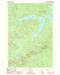
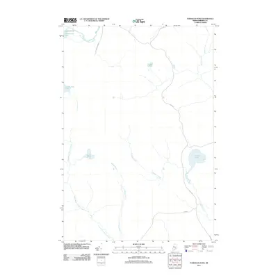
 1989 Seboomook Lake West1989 Print · USGSThe Maine North Woods in the late eighties show a landscape dominated by the timber industry and the expansive Seboomook Lake. Researchers can locate historic sites like Pittston Farm, follow the path of the Golden Road, and trace the various forks of the North Branch Penobscot River.
 - 1989 Map of Foley Pond
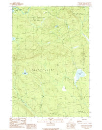
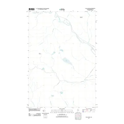
 1989 Foley Pond1989 Print · USGSThe North Maine Woods in the late eighties are defined by the remote timberlands of the Pittston Academy Grant. Researchers can map out old logging infrastructure, including a Lookout Tower on Green Mountain and resource sites like the Shale Pit.
 - 1994 Map of Moosehead Lake
 1994 Moosehead Lake1994 Print · USGSThe Maine North Woods at the end of the twentieth century remains a landscape of vast timberlands and remote outposts. Researchers can trace the Appalachian National Scenic Trail and locate historic water controls like Chesuncook Dam and Ripogenus Dam.
 - 1994 Map of Megantic
 1994 Megantic1994 Print · USGSUpper Somerset County during the early 1990s shows a landscape of remote timber outposts and the Canadian Pacific railroad. Genealogists and historians can trace the corridor through Jackman and Dennistown or locate old rail points like Skinner and Lowelltown.
 - 2011 Map of Seboomook Lake West, 2011 Print
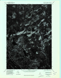
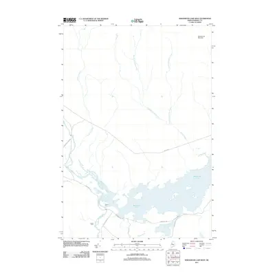 2011 Seboomook Lake West2011 Print · USGSCovers Pittston Academy Grant, including Comstock Township, T4 R17 WELS, and other nearby areas
 - 2011 Map of Canada Falls Lake, 2011 Print
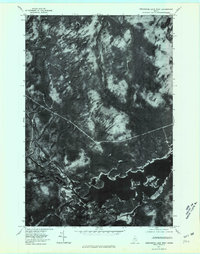
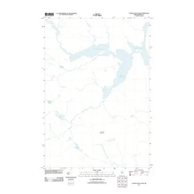 2011 Canada Falls Lake2011 Print · USGSCovers Pittston Academy Grant, including Thorndike Township, Alder Brook Township, and other nearby areas
 - 2011 Map of Foley Pond, 2011 Print
 2011 Foley Pond2011 Print · USGSCovers Pittston Academy Grant, including Comstock Township, Hammond Township, and other nearby areas
 - 2011 Map of Tomhegan Pond, 2011 Print
 2011 Tomhegan Pond2011 Print · USGSCovers Pittston Academy Grant, including West Middlesex Canal Grant Township, Brassua Township, and other nearby areas
Showing maps 1-25 of 41
Top cities near Pittston Academy Grant
Frequently asked questions
- What are the different types of historical maps available for Pittston Academy Grant?
- What is the oldest map of Pittston Academy Grant?
- Where can I purchase historical maps of Pittston Academy Grant for my home or office?
- Where can I download high-res historical maps of Pittston Academy Grant?
- Are there historical topographic maps available for Pittston Academy Grant?
- Is there historical aerial imagery available for Pittston Academy Grant?
- Where are historical maps of Pittston Academy Grant sourced from?