2000s (21st Century) Maps of Pittston Academy Grant, Maine
Explore 20 historic maps of Pittston Academy Grant from the 2000s (21st Century). These maps offer a rare glimpse into what life looked like during the 2000s — showing old roads, neighborhoods, homes, and landmarks that have changed or disappeared over time.
Whether you're researching your family's past, planning a metal detecting trip, or studying how Pittston Academy Grant's landscape evolved across the 2000s, these high-resolution maps are a powerful tool for exploring the history of this region.
- Focus on a specific era: All maps on this page are from the 2000s, giving you a focused view of this time period.
- See what’s changed: Compare century-old streets, trails, and buildings to today's modern landscape using overlays and satellite layers.
- Research with precision: Use these maps for genealogy, historical research, land use analysis, or educational projects.
- View, download, or print: Maps are fully viewable online in high resolution, and can be downloaded or printed for your own records.
Start exploring Pittston Academy Grant's history through authentic maps from the 2000s. This is your window into the past.
Pittston Academy Grant, ME maps
(20)- 2011 Map of Seboomook Lake West, 2011 Print
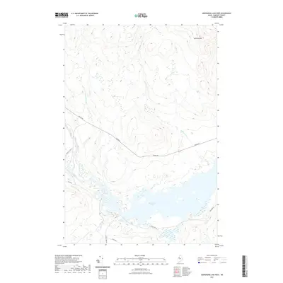
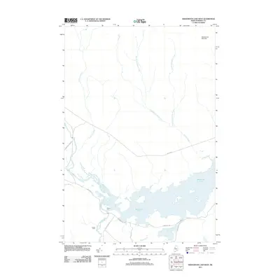 2011 Seboomook Lake West2011 Print · USGSCovers Pittston Academy Grant, including Comstock Township, T4 R17 WELS, and other nearby areas
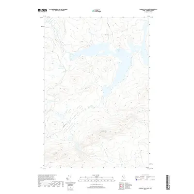
 - 2011 Map of Canada Falls Lake, 2011 Print
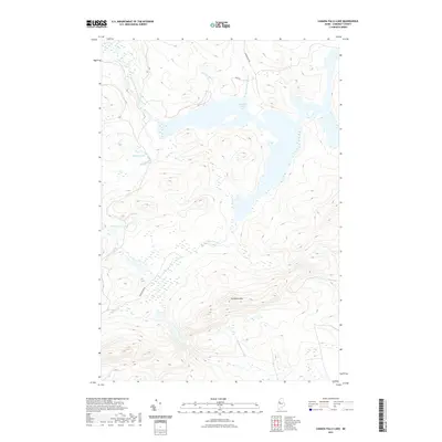
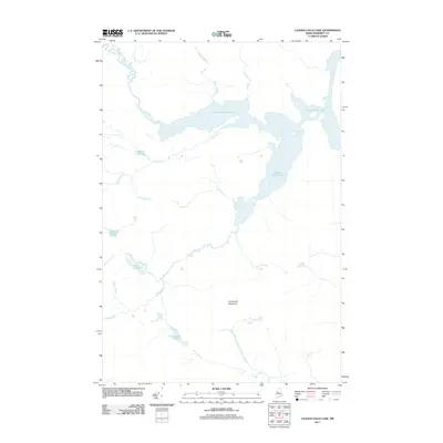 2011 Canada Falls Lake2011 Print · USGSCovers Pittston Academy Grant, including Thorndike Township, Alder Brook Township, and other nearby areas
 - 2011 Map of Foley Pond, 2011 Print
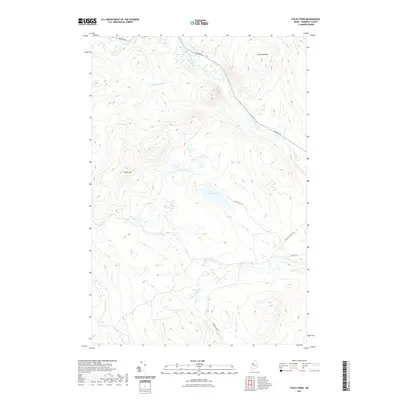
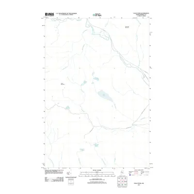 2011 Foley Pond2011 Print · USGSCovers Pittston Academy Grant, including Comstock Township, Hammond Township, and other nearby areas
 - 2011 Map of Tomhegan Pond, 2011 Print
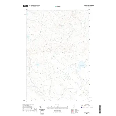
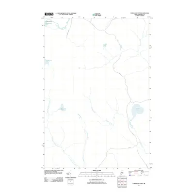 2011 Tomhegan Pond2011 Print · USGSCovers Pittston Academy Grant, including West Middlesex Canal Grant Township, Brassua Township, and other nearby areas
 - 2014 Map of Foley Pond, 2014 Print
 2014 Foley Pond2014 Print · USGSCovers Pittston Academy Grant, including Comstock Township, Hammond Township, and other nearby areas
 - 2014 Map of Canada Falls Lake, 2014 Print
 2014 Canada Falls Lake2014 Print · USGSCovers Pittston Academy Grant, including Thorndike Township, Alder Brook Township, and other nearby areas
 - 2014 Map of Seboomook Lake West, 2014 Print
 2014 Seboomook Lake West2014 Print · USGSCovers Pittston Academy Grant, including Comstock Township, T4 R17 WELS, and other nearby areas
 - 2014 Map of Tomhegan Pond, 2014 Print
 2014 Tomhegan Pond2014 Print · USGSCovers Pittston Academy Grant, including West Middlesex Canal Grant Township, Brassua Township, and other nearby areas
 - 2018 Map of Canada Falls Lake, 2018 Print
 2018 Canada Falls Lake2018 Print · USGSCovers Pittston Academy Grant, including Thorndike Township, Alder Brook Township, and other nearby areas
 - 2018 Map of Seboomook Lake West, 2018 Print
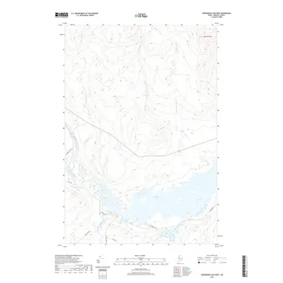 2018 Seboomook Lake West2018 Print · USGSCovers Pittston Academy Grant, including Comstock Township, T4 R17 WELS, and other nearby areas
 - 2018 Map of Foley Pond, 2018 Print
 2018 Foley Pond2018 Print · USGSCovers Pittston Academy Grant, including Comstock Township, Hammond Township, and other nearby areas
 - 2018 Map of Tomhegan Pond, 2018 Print
 2018 Tomhegan Pond2018 Print · USGSCovers Pittston Academy Grant, including West Middlesex Canal Grant Township, Brassua Township, and other nearby areas
 - 2021 Map of Canada Falls Lake, 2021 Print
 2021 Canada Falls Lake2021 Print · USGSCovers Pittston Academy Grant, including Thorndike Township, Alder Brook Township, and other nearby areas
 - 2021 Map of Foley Pond, 2021 Print
 2021 Foley Pond2021 Print · USGSCovers Pittston Academy Grant, including Comstock Township, Hammond Township, and other nearby areas
 - 2021 Map of Seboomook Lake West, 2021 Print
 2021 Seboomook Lake West2021 Print · USGSCovers Pittston Academy Grant, including Comstock Township, T4 R17 WELS, and other nearby areas
 - 2021 Map of Tomhegan Pond, 2021 Print
 2021 Tomhegan Pond2021 Print · USGSCovers Pittston Academy Grant, including West Middlesex Canal Grant Township, Brassua Township, and other nearby areas
 - 2024 Map of Tomhegan Pond, 2024 Print
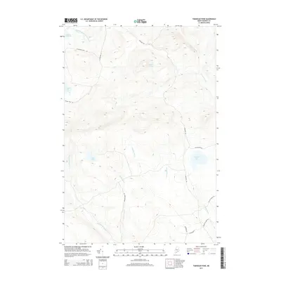
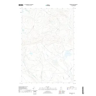
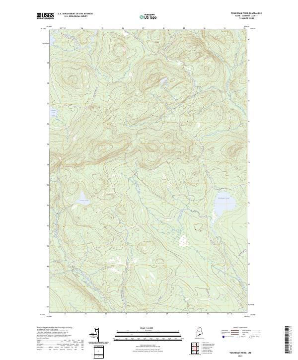 2024 Tomhegan Pond2024 Print · USGSSomerset County's dense timberlands are captured in this contemporary view of the Maine wilderness. Researchers and outdoorsmen can trace the remote logging routes of 20 Mile Rd and the waterways of Tomhegan Pond and Canada Falls Lake.
 - 2024 Map of Foley Pond, 2024 Print
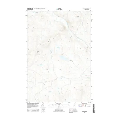
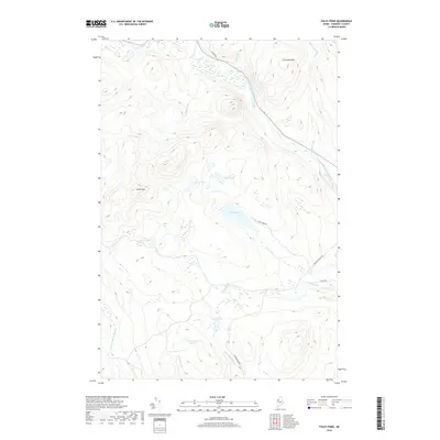
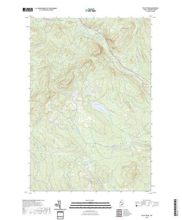 2024 Foley Pond2024 Print · USGSSomerset County's backcountry appears here in the contemporary era as a network of timber roads and pristine waterways. Researchers can trace the drainage of the North Branch Penobscot River or locate remote landmarks like Foley Pond and Comstock Mtn.
 - 2024 Map of Canada Falls Lake, 2024 Print
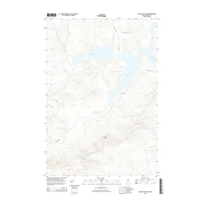
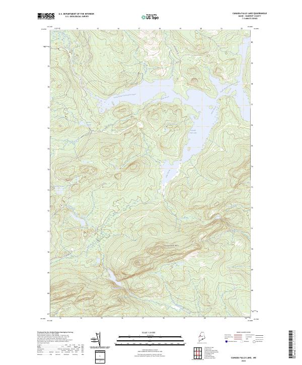 2024 Canada Falls Lake2024 Print · USGSSomerset County's timberlands and remote waterways are documented here as they appear in the early 2020s. Researchers and outdoorsmen can trace the drainage of the South Branch Penobscot River and locate landmarks like Ironbound Mtn or the secluded Trickey Ponds.
 - 2024 Map of Seboomook Lake West, 2024 Print
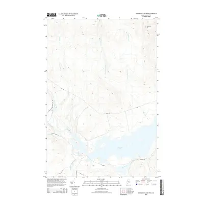
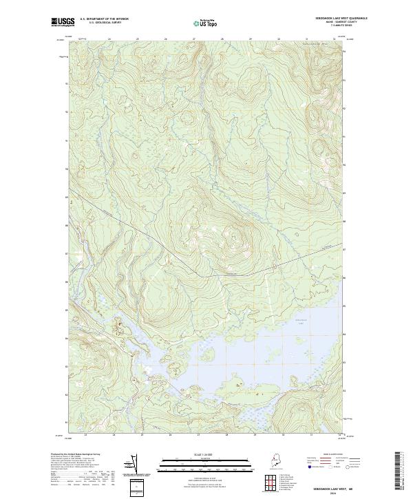 2024 Seboomook Lake West2024 Print · USGSSomerset County, Maine, is shown in this contemporary study of the deep North Woods during the 2020s. Trace the logging network along Golden Rd and the vast waters of Seboomook Lake near the confluence of the South Branch Penobscot River.
End of results
Showing maps 1-20 of 20
Top cities near Pittston Academy Grant
Frequently asked questions
- What are the different types of historical maps available for Pittston Academy Grant?
- What is the oldest map of Pittston Academy Grant?
- Where can I purchase historical maps of Pittston Academy Grant for my home or office?
- Where can I download high-res historical maps of Pittston Academy Grant?
- Are there historical topographic maps available for Pittston Academy Grant?
- Is there historical aerial imagery available for Pittston Academy Grant?
- Where are historical maps of Pittston Academy Grant sourced from?