Old Maps of Sapling Township, Maine
Explore 28 old maps of Sapling Township, spanning from 1920 to today. These high-resolution historic maps reveal how streets, neighborhoods, landmarks, and natural features evolved over time — perfect for genealogy, metal detecting, research, and local history exploration.
What you can do with these maps:
- See how Sapling Township changed over time: Compare historical maps to modern-day views to trace roads, homesites, rail lines & more.
- View detailed metadata: Each map includes creators, publishers, year, scale, and archive source.
- Overlay maps with satellite & LiDAR: Visualize the past alongside modern tools to explore terrain & human change.
- Trusted historical sources: Maps sourced from the USGS, Library of Congress, and other archives.
- Access maps your way: View online, download high-res files, or order prints for personal or research use.
Start exploring old maps of Sapling Township to uncover forgotten places, hidden landmarks, and the deep history beneath your feet.
Sapling Township, ME maps
(28)- 1920 Map of Moosehead Lake, 1955 Print
 1920 Moosehead Lake1955 Print · USGSMoosehead Lake in the early twentieth century was a hub of rail travel and island settlements accessible primarily by water. You can trace the historic Steamboat Route between Kineo Station, the Masterman School, and the remote outpost of Capens.
 - 1921 Map of Brassua Lake
 1921 Brassua Lake1921 Print · USGSThe North Maine Woods come alive in the 1920s at the intersection of the Canadian Pacific and Maine Central railroads. Genealogists and historians can trace logging-era life at Somerset Junction, Blaine School, and numerous seasonal sites like Depot Camp.3 unique versions available
 - 1922 Map of Moosehead Lake
 1922 Moosehead Lake1922 Print · USGSPiscataquis County’s wilderness is caught in a moment of transition during the early twenties as railroads and steamers opened the north woods. Researchers can trace the rails to Kineo Station or locate remote outposts like Masterman School and Capens.7 unique versions available
 - 1923 Map of Brassua Lake
 1923 Brassua Lake1923 Print · USGSRailroads and river routes intersect in the Maine north woods at the start of the 1920s. Genealogists and historians can trace the junction of the Canadian Pacific at Somerset Junction Tarratine PO and locate remote outposts like Blaine School and Cornish Farm.4 unique versions available
 - 1930 Map of Moosehead Lake
 1930 Moosehead Lake1930 Print · USGSMoosehead Lake in the early twentieth century was a landscape of remote rail junctions and lakeside settlements. Trace the old routes of the Maine Central Railroad to Rockwood or locate the Masterman School near the shores of North Bay.
 - 1944 Map of Brassua Lake
 1944 Brassua Lake1944 Print · USGSCentral Maine was a landscape of remote sporting camps and logging rail lines in the mid-1940s. Genealogists and historians can trace old homesteads and landmarks like Somerset Junction, Blaine Sch, and Cornish Farm.
 - 1944 Map of Moosehead Lake
 1944 Moosehead Lake1944 Print · USGSThe heart of Maine's lake country is captured here during the mid-forties, showing the vital rail and water routes of the North Woods. Genealogists and historians can trace the Canadian Pacific line, the remote Masterman Sch, and early settlements like Rockwood.
 - 1954 Map of Millinocket, 1968 Print
 1954 Millinocket1968 Print · USGSMaine's North Woods and the Penobscot Valley are captured here during the mid-century era of logging and rail dominance. You can trace the path of the Bangor and Aroostook Railroad through timber towns like Millinocket, Mattawamkeag, and Silver Ridge.3 unique versions available
 - 1957 Map of Moosehead Lake, 1959 Print
 1957 Moosehead Lake1959 Print · USGSMoosehead Lake's central reaches are captured here in the late fifties, showing a wilderness of large islands and timber grants before heavy modern development. Researchers can trace the Canadian Pacific rail line and locate landmarks like the Mt Kineo Lookout Tower and Deer Head Farm.4 unique versions available
 - 1957 Map of Brassua Lake, 1959 Print
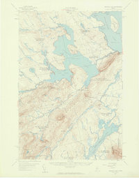 1957 Brassua Lake1959 Print · USGSThe northern Maine woods around Rockwood are captured here during the late 1950s, a time of transition for the region's rail and river systems. Genealogists and historians can locate family-named clearings like Milliken Farm, local institutions such as Blaine Sch, and the winding path of the Canadian Pacific Railroad.5 unique versions available
 - 1958 Map of Millinocket
 1958 Millinocket1958 Print · USGSMaine's North Woods and the Penobscot river valley are captured here in the mid-1950s, showing a landscape of timber, rail, and wild waters. Researchers can trace the legacy of the Canadian Pacific railroad and find historic settlements like Millinocket, Sherman Station, and Mattawamkeag.
 - 1960 Map of Millinocket
 1960 Millinocket1960 Print · USGSThe Maine North Woods and Penobscot River valley are captured at mid-century during the height of the paper milling era. Researchers can trace the Appalachian Trail near Mount Katardin or locate family roots in towns like Dover-Foxcroft and Milo.3 unique versions available
 - 1977 Map of Moosehead, 1981 Print
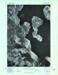 1977 Moosehead1981 Print · USGSThe Maine North Woods and the expansive waters of Moosehead Lake appear in sharp detail in this late-seventies aerial survey. Researchers can trace the wild shorelines of Deer Island and the origins of the Kennebec River.
 - 1977 Map of Indian Pond North, 1981 Print
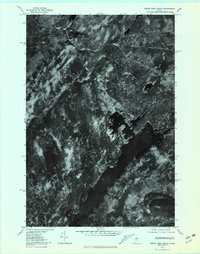 1977 Indian Pond North1981 Print · USGSSomerset County, Maine, is captured in the late 1970s as a landscape of timber and wild water. Researchers can trace the rail and river history of Tarratine and Somerset Junction or locate the headwaters of the Kennebec River.
 - 1985 Map of Moosehead Lake, 1986 Print
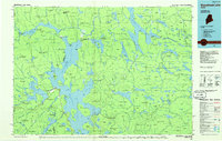 1985 Moosehead Lake1986 Print · USGSThe Maine North Woods in the 1980s remain a landscape of vast timberlands, railroads, and the sprawling waters of the state's largest lake. Researchers can trace the Canadian Pacific line through Rockwood or locate historical townships from Seboomook to Kokadjo.
 - 1988 Map of Indian Pond North
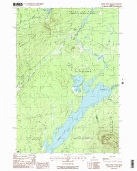 1988 Indian Pond North1988 Print · USGSSomerset County in the late eighties was a landscape of timber-townships and essential riverways. Genealogists and historians can trace the rail history at Somerset Junction, locate the small settlement at Tarratine, and follow the OLD RAILROAD GRADE through MISERY GORE.2 unique versions available
 - 1989 Map of Moosehead
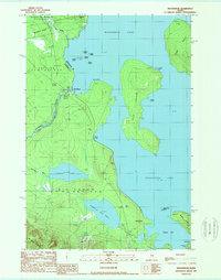 1989 Moosehead1989 Print · USGSThe Maine North Woods and the headwaters of the Kennebec River are shown here in the late eighties as they supported remote settlement and forestry. Researchers can find land survey artifacts like Misery Gore alongside landmarks such as the Gaging Sta at Moosehead and the Squaw Brook (Site).
 - 1994 Map of Moosehead Lake
 1994 Moosehead Lake1994 Print · USGSThe Maine North Woods at the end of the twentieth century remains a landscape of vast timberlands and remote outposts. Researchers can trace the Appalachian National Scenic Trail and locate historic water controls like Chesuncook Dam and Ripogenus Dam.
 - 2011 Map of Indian Pond North, 2011 Print
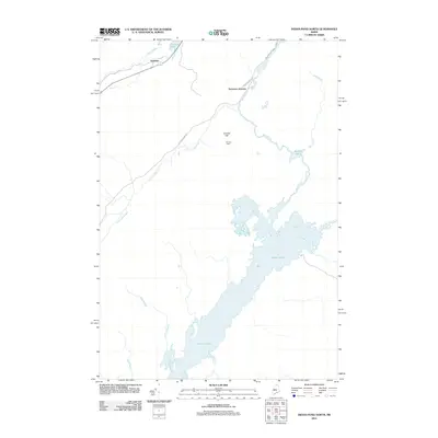 2011 Indian Pond North2011 Print · USGSThe northern reaches of Somerset County come into focus in the early twenty-first century, showing a landscape defined by the Kennebec River headwaters. Genealogists and historians can trace old homesteads and remote junctions like Cornish Farm, Tarratine, and Somerset Junction.
 - 2011 Map of Moosehead, 2011 Print
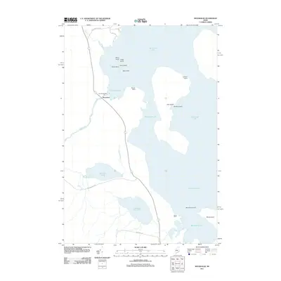 2011 Moosehead2011 Print · USGSMoosehead Lake and its surrounding timberlands are captured here in the early twenty-first century as the region balanced industry and recreation. Explore the hydrology of the East Outlet Dam or trace the shores of Whiskey Island and Deer Island.
 - 2014 Map of Indian Pond North, 2014 Print
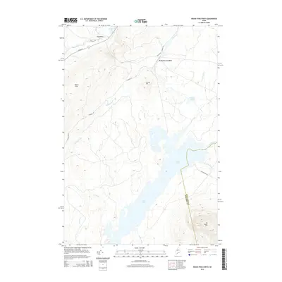 2014 Indian Pond North2014 Print · USGSThe Maine backcountry near Misery Gore is documented in this recent survey of the Kennebec River's headwaters. Researchers can trace the landscape around Somerset Junction and Tarratine, or follow the shoreline of Indian Pond past Big Moose Mtn.
 - 2014 Map of Moosehead, 2014 Print
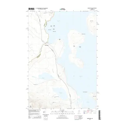 2014 Moosehead2014 Print · USGSThe Maine North Woods are captured here in the early twenty-first century as the Somerset and Piscataquis county lines meet at the shore. Trace the lake-based geography from the East Outlet to the heights of Big Moose Mtn and islands like Sugar Island.
 - 2018 Map of Indian Pond North, 2018 Print
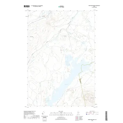 2018 Indian Pond North2018 Print · USGSThe wilderness of Somerset County is captured in the late twenty-teens, centering on the waters of Indian Pond. Outdoorsmen and researchers can trace the roads into Tarratine or locate the high ground at Big Moose Mtn and Misery Ridge.
 - 2018 Map of Moosehead, 2018 Print
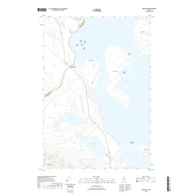 2018 Moosehead2018 Print · USGSMoosehead Lake and its surrounding timberlands are documented here in the early twenty-first century. Researchers can trace the shoreline from Moose Point to Deep Cove and identify numerous landmarks like Big Moose Mtn and Sugar Island.
 - 2021 Map of Indian Pond North, 2021 Print
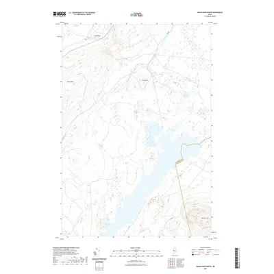 2021 Indian Pond North2021 Print · USGSThe Maine North Woods at the Somerset and Piscataquis county line are shown here in recent detail. Researchers can trace the remote settlement of Tarratine and the surrounding wilderness features like Misery Ridge and Big Moose Mtn.
Showing maps 1-25 of 28
Top cities near Sapling Township
- Greenville historical maps
- Monson historical maps
- Shirley historical maps
- Beaver Cove historical maps
- West Forks historical maps
- The Forks historical maps
Frequently asked questions
- What are the different types of historical maps available for Sapling Township?
- What is the oldest map of Sapling Township?
- Where can I purchase historical maps of Sapling Township for my home or office?
- Where can I download high-res historical maps of Sapling Township?
- Are there historical topographic maps available for Sapling Township?
- Is there historical aerial imagery available for Sapling Township?
- Where are historical maps of Sapling Township sourced from?