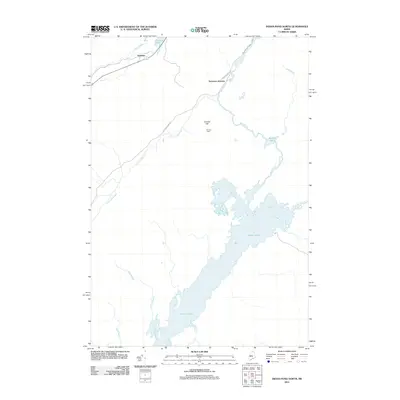
2011 Map of Indian Pond North
USGS Topo · Published 2011About this map
Indian Pond and the surrounding wilderness of Somerset County dominate this landscape, where the Kennebec River drainage system creates a complex network of waterways. Small settlements and rural outposts such as Tarratine and Somerset Junction are positioned near the northern water bodies, including Brassua Lake and Misery Stream. These points of habitation are connected by a handful of rural routes like Tarratine Rd and Milliken Farm Rd, reflecting the area's history as a remote interior timber and sporting region.
Find a feature on this map
18 named features on this map. Tap any name to fly to it.
Don’t see what you’re looking for? This feature index may not catch every label — zoom into the map to look around manually.
Map Details
Editions of this 2011 Indian Pond North Map
This is the sole edition of this map. No revisions or reprints were ever made.
Other maps of this area

1905 · The Forks
USGS Topo · 1:62,500

1907 · The Forks
USGS Topo · 1:62,500

1920 · Moosehead Lake
USGS Topo · 1:62,500

1921 · Brassua Lake
USGS Topo · 1:62,500

1922 · Moosehead Lake
USGS Topo · 1:62,500

1923 · Brassua Lake
USGS Topo · 1:62,500

1930 · Moosehead Lake
USGS Topo · 1:62,500

1944 · Brassua Lake
USGS Topo · 1:62,500

1944 · Moosehead Lake
USGS Topo · 1:62,500

1951 · Greenville
USGS Topo · 1:62,500
Featured Places
- Misery Gore, ME
- Sapling Township, ME
- Misery Township, ME
- Chase Stream Township, ME
- Sandwich Academy Grant Township, ME