Old Maps of Smithfield, Maine for Genealogy
Trace your family roots with 33 historic maps of Smithfield. These high-res maps reveal old neighborhoods, homesites, landmarks, and streets — helping you uncover where your ancestors lived and how the area evolved over time.
- Explore historic neighborhoods: Identify where your relatives may have lived in the 1800s or 1900s.
- Compare maps over time: Trace the changes in streets, buildings, and landmarks for multi-generational research.
- Perfect for genealogy & ancestry research: Used by family historians and researchers to map out lineage and migration.
These maps are an incredible resource for exploring your personal connection to Smithfield's past.
Smithfield, ME maps
(33)- 1892 Map of Waterville
 1892 Waterville1892 Print · USGSCentral Maine thrived along the river valleys during the late nineteenth-century rail boom. Researchers can trace the development of the Maine Central Railroad through Waterville or locate older river crossings like Pishon Ferry.7 unique versions available
 - 1894 Map of Norridgewock
 1894 Norridgewock1894 Print · USGSSomerset and Kennebec counties are shown at the height of the Victorian era, characterized by an intricate network of glacial lakes and river ferries. Genealogists can trace early homesteads and transport points like Davis Ferry, Belgrade Mills, and South Norridgewock.
 - 1898 Map of Norridgewock
 1898 Norridgewock1898 Print · USGSSomerset and Kennebec Counties are shown here during the late Victorian era as the river-and-rail economy thrived. Genealogists can trace family holdings and old crossings like Davis Ferry, Belgrade Mills, and the historic village of Norridgewock.5 unique versions available
 - 1943 Map of Norridgewock
 1943 Norridgewock1943 Print · USGSSomerset and Kennebec counties are shown here just after the start of the war, when the Maine Central railroad still connected these rural river towns. Researchers can locate specific family landmarks including the Whitehouse Cem, Hersom Sch, and the Norridgewock Rearing Pool.3 unique versions available
 - 1943 Map of Waterville
 1943 Waterville1943 Print · USGSThe Kennebec and Sebasticook river valleys are shown in detail during the early 1940s, highlighting the rail hubs of Waterville and Winslow. Genealogists can trace family landmarks like Pratt Cem or the rural Covell Sch and Ten Lots Chapel.2 unique versions available
 - 1948 Map of Bangor
 1948 Bangor1948 Print · USGSThe Maine coast and its industrial river valleys are captured here shortly after the war, showing the vital shipping and rail hubs of the late 1940s. Genealogists and historians can trace the tracks of the Maine Central RR connecting Bangor, Augusta, and Old Town.
 - 1956 Map of Norridgewock, 1958 Print
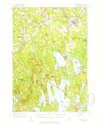 1956 Norridgewock1958 Print · USGSSomerset and Kennebec counties are shown here in the mid-1950s, centered on the river convergence at Norridgewock. Genealogists and historians can trace local school districts like Whittier Sch and explore lakefront landmarks including Camp Abena and The Serpentine.3 unique versions available
 - 1956 Map of Bangor, 1966 Print
 1956 Bangor1966 Print · USGSMid-century Maine comes alive in this survey of the rugged coast and river valleys during the 1950s. Genealogists and historians can trace the vital rail corridors of the Maine Central RR connecting timber towns like Old Town to the coast at Bar Harbor.3 unique versions available
 - 1957 Map of Waterville, 1959 Print
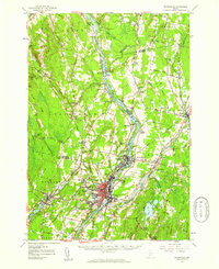 1957 Waterville1959 Print · USGSThe Kennebec River valley in the late fifties shows a bustling industrial landscape centered on the rail-and-river hub of Waterville. Researchers can trace historic institutions like Colby College, the Central Maine Sanatorium, and family-named sites such as Pishon Ferry or Ten Lots Chapel.3 unique versions available
 - 1960 Map of Bangor
 1960 Bangor1960 Print · USGSCentral Maine in the sixties reveals a landscape of river-powered industry and sprawling coastal island chains. Researchers can trace the rail corridors of the Maine Central or locate mid-century aviation landmarks like Dow Air Force Base.
 - 1961 Map of Bangor
 1961 Bangor1961 Print · USGSMid-century Maine comes alive through its busy river ports and rocky archipelagoes during a period of steady maritime and rail commerce. Researchers can trace the path of the Maine Central railroad and locate coastal landmarks from Acadia National Park to Vinalhaven Island.
 - 1975 Map of Norridgewock NE, 1980 Print
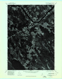 1975 Norridgewock NE1980 Print · USGSSomerset County's riverfront and woodlands are captured here in the mid-seventies, showing the intersection of rural life and the Kennebec River. Trace land use patterns near Norridgewock, the rise of Mount Tom, and the shorelines of North Pond.
 - 1975 Map of Norridgewock SE, 1980 Print
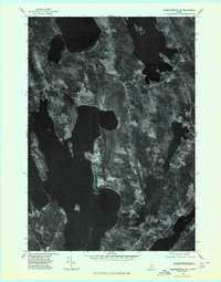 1975 Norridgewock SE1980 Print · USGSThe Belgrade Lakes region comes into sharp focus in the mid-1970s through this detailed orthophoto. Researchers can trace the exact development of shoreline settlements and rural crossroads like North Belgrade, Tyler Corner, and Rome.
 - 1975 Map of Waterville SW, 1980 Print
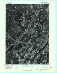 1975 Waterville SW1980 Print · USGSThe mid-1970s landscape of Kennebec County is captured in this aerial survey, showcasing the urban layout and industrial riverfronts of central Maine. Local historians can trace the growth of Waterville and Oakland alongside the Kennebec River.
 - 1982 Map of Norridgewock
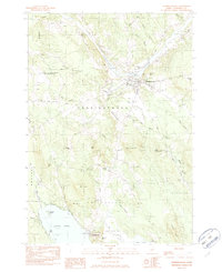 1982 Norridgewock1982 Print · USGSSomerset County's riverfront and upland terrain are documented here in the early eighties, capturing the area's development and natural hydrology. Genealogists and local historians can locate family landmarks like Ross Hill, rural cemeteries such as Gould Cem, and former school sites including Central Sch.2 unique versions available
 - 1982 Map of Rome
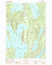 1982 Rome1982 Print · USGSThe Belgrade Lakes region comes into focus during the early eighties, showcasing a complex network of waterways and lakeside settlements. Trace historical land markers and rail lines like the Stone Town Bdry Mon and the Maine Central near North Belgrade.
 - 1982 Map of Waterville, 1983 Print
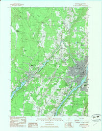 1982 Waterville1983 Print · USGSWaterville and Winslow thrived as industrial and academic centers during the early eighties, centered on the powerful Kennebec River. Genealogists and historians can trace the campuses of Colby College and Thomas College or locate family plots in Lakeview Cem and Drummond Cem.3 unique versions available
 - 1985 Map of Skowhegan, 1986 Print
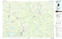 1985 Skowhegan1986 Print · USGSCentral Maine in the mid-eighties shows a landscape of river-driven industry and rural crossroads. Genealogists can trace family names and farmsteads near Lake George or along the Maine Central Railroad through Pittsfield and Burnham.2 unique versions available
 - 2011 Map of Norridgewock, 2011 Print
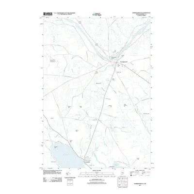 2011 Norridgewock2011 Print · USGSThis Somerset County landscape shows the Kennebec River valley and the southern ponds at the start of the 2010s. Genealogists can locate family sites near the Old Oak Cemetery, Gould Cemetery, and landmarks like the Mill Stream Dam.
 - 2011 Map of Rome, 2011 Print
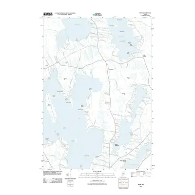 2011 Rome2011 Print · USGSThe Maine lakes region comes into focus in the early twenty-first century as the shores of Great Pond and East Pond show a dense network of roads and landings. Trace local family roots at Whitehouse Cemetery or explore the area around North Belgrade Station and Ellis Pond Dam.
 - 2011 Map of Waterville, 2011 Print
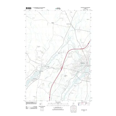 2011 Waterville2011 Print · USGSKennebec River industry and transportation hubs take center stage in the Waterville area during the early 21st century. Trace historical local landmarks like the Fort Halifax Dam, Lakeview Cemetery, and the Moody Snow Pond Seaplane Base.
 - 2014 Map of Waterville, 2014 Print
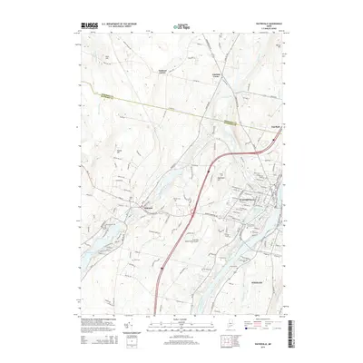 2014 Waterville2014 Print · USGSThe Kennebec River valley in the mid-2010s shows a landscape defined by historic mill towns and prominent college campuses. Researchers can trace numerous local burial sites like The Old Cem and Saint Francis Catholic Cem alongside landmarks like Colby Coll.
 - 2014 Map of Rome, 2014 Print
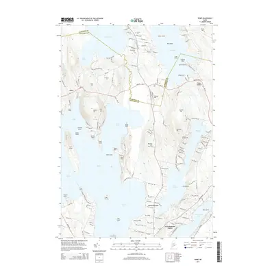 2014 Rome2014 Print · USGSThe Belgrade Lakes region comes into focus in this 2014 record of Kennebec and Somerset counties. Researchers can trace historic family burial sites like Whitehouse Cem and Chute Cem or explore the shorelines of Great Pond and Ellis Pond.
 - 2014 Map of Norridgewock, 2014 Print
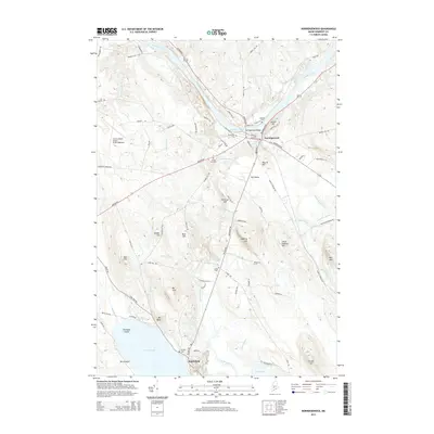 2014 Norridgewock2014 Print · USGSMaine's Somerset County is captured here in the early twenty-first century, centered on the river-bend settlement of Norridgewock. Researchers can trace local lineage through several sites including Riverview Cem and Gould Cem, or locate historic holdings near The Serpentine and North Pond.
 - 2018 Map of Waterville, 2018 Print
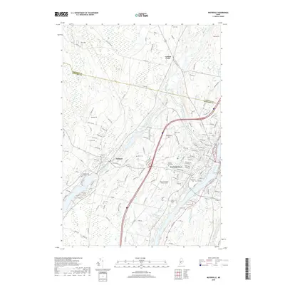 2018 Waterville2018 Print · USGSWaterville and the Kennebec River valley are captured in this recent survey, showcasing a landscape shaped by education, industry, and historic burial grounds. Researchers can trace family roots at the Saint Francis Catholic Cem or explore the campuses of Colby College and Thomas College.
Showing maps 1-25 of 33
Top cities near Smithfield
- Waterville historical maps
- Winslow historical maps
- Fairfield historical maps
- Skowhegan historical maps
- Oakland historical maps
- Madison historical maps
See more
Frequently asked questions
- What are the different types of historical maps available for Smithfield?
- What is the oldest map of Smithfield?
- Where can I purchase historical maps of Smithfield for my home or office?
- Where can I download high-res historical maps of Smithfield?
- Are there historical topographic maps available for Smithfield?
- Is there historical aerial imagery available for Smithfield?
- Where are historical maps of Smithfield sourced from?