Old Maps of T7 R17 WELS, Maine for Hiking & Exploration
Hike through history with 33 historic maps of T7 R17 WELS. Explore old trails, ghost towns, and forgotten backroads — perfect for outdoor adventurers and local explorers.
- Rediscover forgotten places: Map out old mining camps, roads, and footpaths that no longer exist on modern maps.
- Layer with modern tools: Combine with LiDAR or satellite views to plan hikes through historical terrain.
- Made for exploration: Popular among hikers, overlanders, and local history lovers.
Use these maps to find adventure and explore the hidden past of T7 R17 WELS.
T7 R17 WELS, ME maps
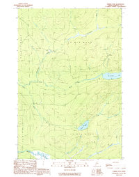
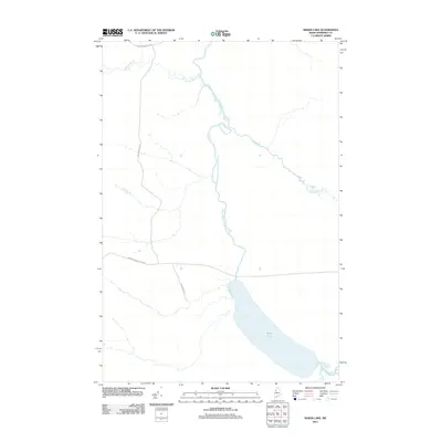
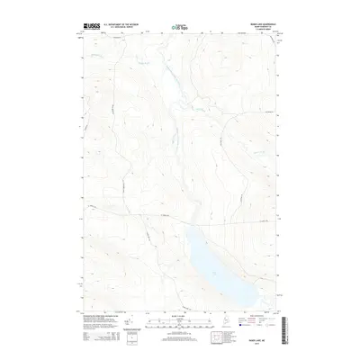
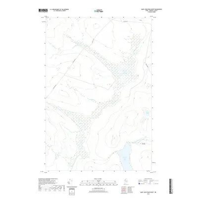
(33)- 1954 Map of Baker Lake, 1955 Print
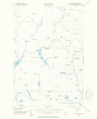
 1954 Baker Lake1955 Print · USGSThe Maine North Woods in the early fifties are shown here as a remote timberland network along the St John River. You can trace the path of the Telephone Trail and locate specific backcountry water bodies like Baker Lake and St Francis Lake.
 - 1954 Map of St. John Pond, 1955 Print
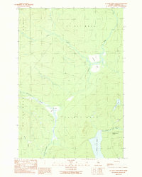
 1954 St. John Pond1955 Print · USGSSomerset County’s deep woods are captured here during the mid-fifties, showing the rugged timberlands and headwaters of the North Branch Penobscot River. Researchers can trace early logging infrastructure like St John Pond Depot, the Canal, and fire lookouts atop Little Russell Mtn.2 unique versions available
 - 1954 Map of Presque Isle, 1968 Print
 1954 Presque Isle1968 Print · USGSNorth Woods logging and rail history come alive in this mid-century survey of the Maine-Quebec borderlands. Genealogists and historians can trace the Bangor and Aroostook railroad through timber hubs like Ashland, Smyrna Mills, and Presque Isle.2 unique versions available
 - 1958 Map of Presque Isle
 1958 Presque Isle1958 Print · USGSThe Aroostook timber and potato country is captured here during the late fifties, showing the vital rail-to-river network of Northern Maine. Genealogists and historians can trace the Bangor & Aroostook RR through Mapleton and Ashland, or locate remote sites like Chamberlain Farm and Seven Islands.
 - 1958 Map of Saint John Pond, 1962 Print
 1958 Saint John Pond1962 Print · USGSThe Somerset County woods of the late fifties are captured here as a landscape of timber townships and remote water bodies. Researchers can trace early logging infrastructure at St John Pond Depot or locate the Lookout Tower on the slopes near Little Russell Mtn.2 unique versions available
 - 1960 Map of Presque Isle
 1960 Presque Isle1960 Print · USGSNorthern Maine during the mid-century was a land of timber, rails, and strategic airfields. Genealogists and historians can trace the growth of Presque Isle and Ashland or explore the remote northern reaches of Baxter State Park and Presque Isle AFB.3 unique versions available
 - 1962 Map of Baker Lake, 1964 Print
 1962 Baker Lake1964 Print · USGSNorth Maine Woods townships were largely defined by timber and water during the early sixties. Researchers can trace remote logging infrastructure and river systems like the Baker Branch St John River, Baker Lake, and the Forest Service Camp.2 unique versions available
 - 1986 Map of Chamberlain Lake
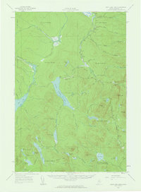
 1986 Chamberlain Lake1986 Print · USGSThe Maine North Woods in the mid-eighties appear here as a land of protected wilderness and logging heritage, centered on the Allagash Wilderness Waterway. Researchers can trace the historic Tramway at Chamberlain Lake and locate old outposts like Churchill Depot.
 - 1989 Map of Baker Lake
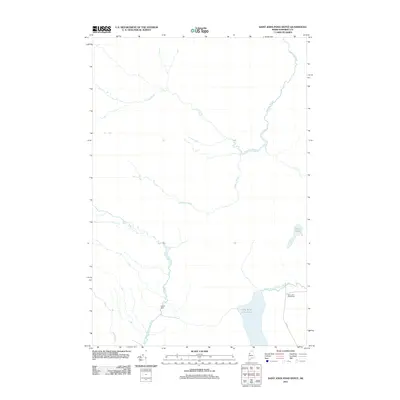
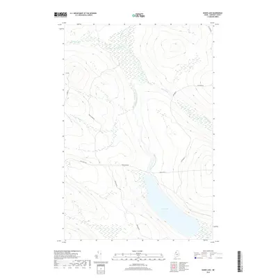
 1989 Baker Lake1989 Print · USGSSomerset County's wild North Woods are captured here in the late 1980s, centered on the headwaters of the St John River. Researchers can trace the network of logging roads and remote outposts like the Ranger Sta and Turner Brook Campsite.
 - 1989 Map of Spruce Brook
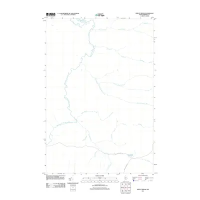
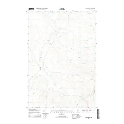
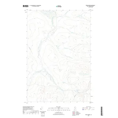
 1989 Spruce Brook1989 Print · USGSThe North Woods of Somerset County are shown in the late eighties as a landscape of timber management and remote waterways. Researchers can trace the network of private roads and landmarks like Loon Stream Deadwater, Lost Pond, and the Shale Pit.
 - 1989 Map of Turner Pond
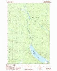
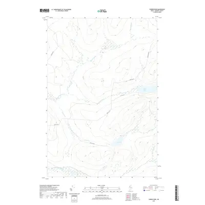
 1989 Turner Pond1989 Print · USGSSomerset County’s northern timberlands are documented here in the late eighties, showing a landscape defined by private logging roads and the St John River. Researchers can trace the waterways of St Francis Lake, Turner Pond, and the aptly named Desolation Brook.
 - 1989 Map of St. John Ponds Depot
 1989 St. John Ponds Depot1989 Print · USGSSomerset County's deep woods are documented here in the late eighties, showing a landscape of timberlands and high-latitude bogs. Researchers can locate the St John Pond Depot, trace the Baker St John Br, and identify a Quarry and Gravel Pit in this remote territory.
 - 1994 Map of Chamberlain Lake
 1994 Chamberlain Lake1994 Print · USGSThe North Maine Woods in the early nineties remained a network of logging outposts and protected waterways. You can trace the historic logging infrastructure at Churchill Depot, the portage at Tramway, and remote landings such as Telos Landing.
 - 2011 Map of Spruce Brook, 2011 Print
 2011 Spruce Brook2011 Print · USGSCovers T7 R17 WELS, including Saint John Township, T6 R17 WELS, and other nearby areas
 - 2011 Map of Saint John Pond Depot, 2011 Print
 2011 Saint John Pond Depot2011 Print · USGSCovers T7 R17 WELS, including T6 R17 WELS, T6 R18 WELS, and other nearby areas
 - 2011 Map of Baker Lake, 2011 Print
 2011 Baker Lake2011 Print · USGSCovers T7 R17 WELS, including T7 R18 WELS, T8 R18 WELS, and other nearby areas
 - 2011 Map of Turner Pond, 2011 Print
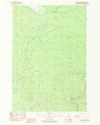
 2011 Turner Pond2011 Print · USGSCovers T7 R17 WELS, including T7 R16 WELS, T8 R16 WELS, and other nearby areas
 - 2014 Map of Turner Pond, 2014 Print
 2014 Turner Pond2014 Print · USGSCovers T7 R17 WELS, including T7 R16 WELS, T8 R16 WELS, and other nearby areas
 - 2014 Map of Saint John Pond Depot, 2014 Print
 2014 Saint John Pond Depot2014 Print · USGSCovers T7 R17 WELS, including T6 R17 WELS, T6 R18 WELS, and other nearby areas
 - 2014 Map of Baker Lake, 2014 Print
 2014 Baker Lake2014 Print · USGSCovers T7 R17 WELS, including T7 R18 WELS, T8 R18 WELS, and other nearby areas
 - 2014 Map of Spruce Brook, 2014 Print
 2014 Spruce Brook2014 Print · USGSCovers T7 R17 WELS, including Saint John Township, T6 R17 WELS, and other nearby areas
 - 2018 Map of Turner Pond, 2018 Print
 2018 Turner Pond2018 Print · USGSCovers T7 R17 WELS, including T7 R16 WELS, T8 R16 WELS, and other nearby areas
 - 2018 Map of Baker Lake, 2018 Print
 2018 Baker Lake2018 Print · USGSCovers T7 R17 WELS, including T7 R18 WELS, T8 R18 WELS, and other nearby areas
 - 2018 Map of Saint John Pond Depot, 2018 Print
 2018 Saint John Pond Depot2018 Print · USGSCovers T7 R17 WELS, including T6 R17 WELS, T6 R18 WELS, and other nearby areas
 - 2018 Map of Spruce Brook, 2018 Print
 2018 Spruce Brook2018 Print · USGSCovers T7 R17 WELS, including Saint John Township, T6 R17 WELS, and other nearby areas
Showing maps 1-25 of 33
Frequently asked questions
- What are the different types of historical maps available for T7 R17 WELS?
- What is the oldest map of T7 R17 WELS?
- Where can I purchase historical maps of T7 R17 WELS for my home or office?
- Where can I download high-res historical maps of T7 R17 WELS?
- Are there historical topographic maps available for T7 R17 WELS?
- Is there historical aerial imagery available for T7 R17 WELS?
- Where are historical maps of T7 R17 WELS sourced from?