2000s (21st Century) Maps of Monroe, Maine
Explore 20 historic maps of Monroe from the 2000s (21st Century). These maps offer a rare glimpse into what life looked like during the 2000s — showing old roads, neighborhoods, homes, and landmarks that have changed or disappeared over time.
Whether you're researching your family's past, planning a metal detecting trip, or studying how Monroe's landscape evolved across the 2000s, these high-resolution maps are a powerful tool for exploring the history of this region.
- Focus on a specific era: All maps on this page are from the 2000s, giving you a focused view of this time period.
- See what’s changed: Compare century-old streets, trails, and buildings to today's modern landscape using overlays and satellite layers.
- Research with precision: Use these maps for genealogy, historical research, land use analysis, or educational projects.
- View, download, or print: Maps are fully viewable online in high resolution, and can be downloaded or printed for your own records.
Start exploring Monroe's history through authentic maps from the 2000s. This is your window into the past.
Monroe, ME maps
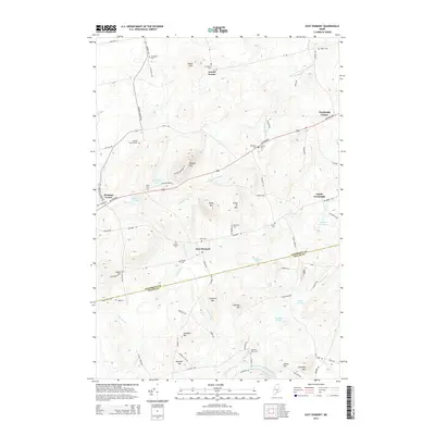
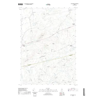
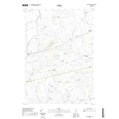
(20)- 2011 Map of East Dixmont, 2011 Print
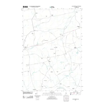 2011 East Dixmont2011 Print · USGSCovers Monroe, including Winterport, Carmel, and other nearby areas
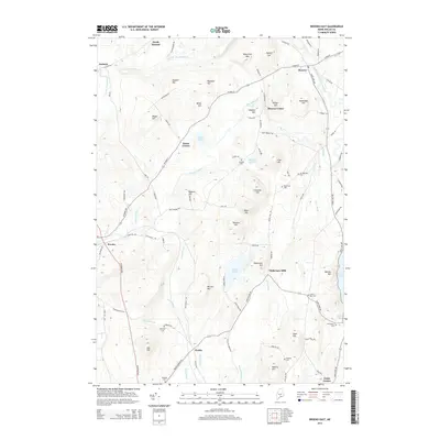
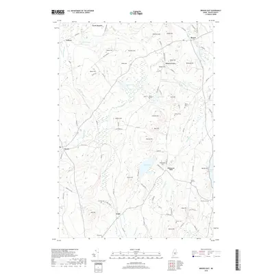
 - 2011 Map of Brooks East, 2011 Print
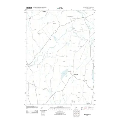 2011 Brooks East2011 Print · USGSCovers Monroe, including Winterport, Swanville, and other nearby areas
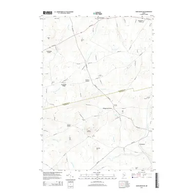
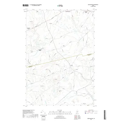
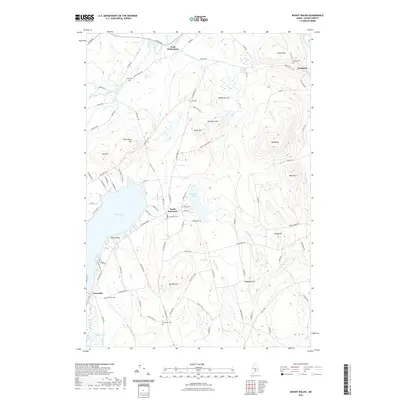
 - 2011 Map of Snow Mountain, 2011 Print
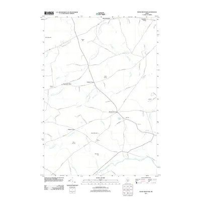 2011 Snow Mountain2011 Print · USGSCovers Monroe, including Hampden, Winterport, and other nearby areas
 - 2011 Map of Mount Waldo, 2011 Print
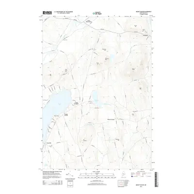
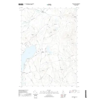
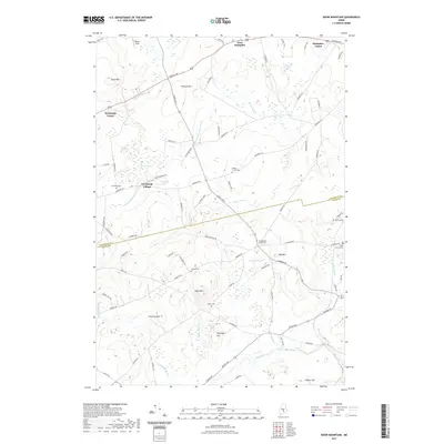
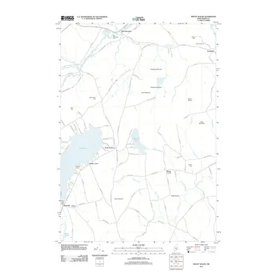 2011 Mount Waldo2011 Print · USGSCovers Monroe, including Winterport, Searsport, and other nearby areas
 - 2014 Map of Mount Waldo, 2014 Print
 2014 Mount Waldo2014 Print · USGSCovers Monroe, including Winterport, Searsport, and other nearby areas
 - 2014 Map of Snow Mountain, 2014 Print
 2014 Snow Mountain2014 Print · USGSCovers Monroe, including Hampden, Winterport, and other nearby areas
 - 2014 Map of East Dixmont, 2014 Print
 2014 East Dixmont2014 Print · USGSCovers Monroe, including Winterport, Carmel, and other nearby areas
 - 2014 Map of Brooks East, 2014 Print
 2014 Brooks East2014 Print · USGSCovers Monroe, including Winterport, Swanville, and other nearby areas
 - 2018 Map of East Dixmont, 2018 Print
 2018 East Dixmont2018 Print · USGSCovers Monroe, including Winterport, Carmel, and other nearby areas
 - 2018 Map of Snow Mountain, 2018 Print
 2018 Snow Mountain2018 Print · USGSCovers Monroe, including Hampden, Winterport, and other nearby areas
 - 2018 Map of Brooks East, 2018 Print
 2018 Brooks East2018 Print · USGSCovers Monroe, including Winterport, Swanville, and other nearby areas
 - 2018 Map of Mount Waldo, 2018 Print
 2018 Mount Waldo2018 Print · USGSCovers Monroe, including Winterport, Searsport, and other nearby areas
 - 2021 Map of Mount Waldo, 2021 Print
 2021 Mount Waldo2021 Print · USGSCovers Monroe, including Winterport, Searsport, and other nearby areas
 - 2021 Map of Snow Mountain, 2021 Print
 2021 Snow Mountain2021 Print · USGSCovers Monroe, including Hampden, Winterport, and other nearby areas
 - 2021 Map of East Dixmont, 2021 Print
 2021 East Dixmont2021 Print · USGSCovers Monroe, including Winterport, Carmel, and other nearby areas
 - 2021 Map of Brooks East, 2021 Print
 2021 Brooks East2021 Print · USGSCovers Monroe, including Winterport, Swanville, and other nearby areas
 - 2024 Map of East Dixmont, 2024 Print
 2024 East Dixmont2024 Print · USGSPenobscot and Waldo counties meet in this rural Maine landscape, where long-established crossroads like Newburgh Center and East Dixmont remain today. Researchers can trace local heritage through dozens of burial sites, including Knowlton Cem, Arnolds Corner Cem, and Harmony Place Cem.
 - 2024 Map of Snow Mountain, 2024 Print
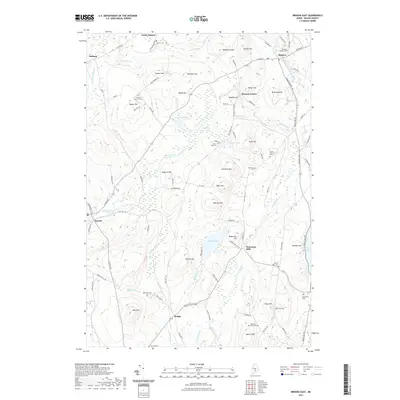
 2024 Snow Mountain2024 Print · USGSThe rural borderlands between Penobscot and Waldo counties come into focus in this contemporary survey. Family historians can trace ancestral roots through several historic burial sites like Neallys Corner Cem, Chapman Cem, and the high ground of Snow Mtn.
 - 2024 Map of Brooks East, 2024 Print
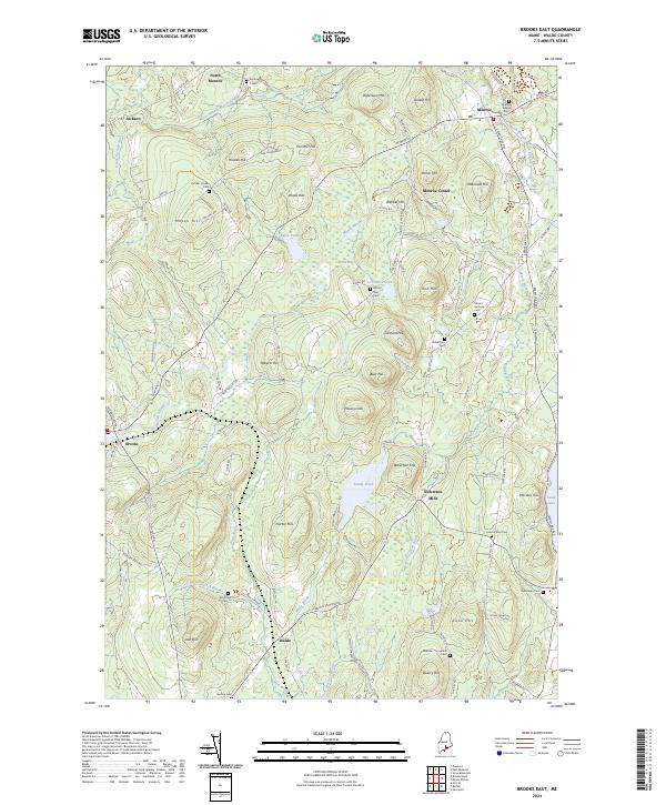 2024 Brooks East2024 Print · USGSCoastal Waldo County highlands are shown here in the contemporary era, centered on the historic settlements of Monroe and Brooks. Researchers can trace ancestral lines through numerous burial grounds like Mount Rest Cem and family-named landmarks such as Nickerson Mills.
 - 2024 Map of Mount Waldo, 2024 Print
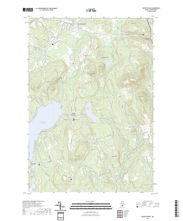 2024 Mount Waldo2024 Print · USGSWaldo County's highlands and lakeside settlements are captured here in the early twenty-first century. Local historians can trace family ties through numerous small burial grounds like Evergreen Cem and Nickerson Cem near Swan Lake.
End of results
Showing maps 1-20 of 20
Top cities near Monroe
- Bangor historical maps
- Hampden historical maps
- Belfast historical maps
- Hermon historical maps
- Bucksport historical maps
- Winterport historical maps
See more
Top neighborhoods of Monroe
- North Monroe historical maps
- Pattee Corner historical maps
- Roses Corner historical maps
- Monroe Center historical maps
Frequently asked questions
- What are the different types of historical maps available for Monroe?
- What is the oldest map of Monroe?
- Where can I purchase historical maps of Monroe for my home or office?
- Where can I download high-res historical maps of Monroe?
- Are there historical topographic maps available for Monroe?
- Is there historical aerial imagery available for Monroe?
- Where are historical maps of Monroe sourced from?