Old Maps of Codyville Township, Maine for Metal Detecting
Plan your next treasure hunt with 33 historic maps of Codyville Township. Find old homesites, ghost towns, trails, and gathering spots that may be lost to time — perfect for identifying promising metal detecting locations.
- Locate forgotten sites: Uncover places like long-lost settlements, abandoned rail lines, or gathering spots.
- Plan better hunts: Use map overlays combined with LiDAR or satellite views to narrow in on historically rich areas.
- Made for detectorists: Thousands of hobbyists use these maps to discover relics, coins, and hidden history.
Use these historic maps to boost your research and find new opportunities beneath the surface of Codyville Township.
Codyville Township, ME maps
(33)- 1940 Map of Waite, 1959 Print
 1940 Waite1959 Print · USGSThe Maine-Canada borderlands near the St. Croix River were a patchwork of timber camps and family farms just before the war. Researchers can trace the heritage of remote sites like Keeley Farm, the Lamb Place, and camps such as Hamilton Camp.3 unique versions available
 - 1940 Map of Forest, 1963 Print
 1940 Forest1963 Print · USGSThe Maine-Canada borderlands come alive in this mid-century survey of Washington County's lake country. Genealogists and historians can trace the Canadian Pacific rail line through Vanceboro or locate family homesteads near Todds Farm and Forest City.3 unique versions available
 - 1942 Map of Waite
 1942 Waite1942 Print · USGSWashington County during the early 1940s reveals a Maine landscape of logging camps and remote farmsteads. Genealogists and local historians can trace family locations at the Lamb Place and Keeley Farm or locate the site of the Kennebec Dam.2 unique versions available
 - 1942 Map of Forest
 1942 Forest1942 Print · USGSThis early 1940s survey of eastern Washington County captures the international borderlands along Spednik Lake and the St Croix River. Genealogists and historians can trace the Maine Central rail line through Forest and Lambert Lake or locate old homesteads like Todds Farm.2 unique versions available
 - 1957 Map of Fredericton, 1981 Print
 1957 Fredericton1981 Print · USGSThe New Brunswick and Maine borderlands come into focus in the mid-fifties, dominated by the Saint John River and massive military tracts. Genealogists can locate riverfront hamlets like Maugerville or inland sites like Scotch Settlement along the Canadian Pacific rail line.
 - 1963 Map of Fredericton
 1963 Fredericton1963 Print · USGSThe Saint John River valley and the Maine-New Brunswick border are captured here during the early sixties. Researchers can trace the Canadian Pacific rail lines through rural settlements like Jewetts Mills, Mckeens Corner, and Scotch Settlement.
 - 1986 Map of Calais
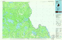 1986 Calais1986 Print · USGSCoastal and interior Washington County are captured here in the mid-1980s, where the international border follows the winding St Croix River. Genealogists and historians can trace the rail lines of the Maine Central and find landmarks like Red Beach and Princeton Airport.
 - 1988 Map of Simsquish Lake
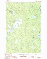 1988 Simsquish Lake1988 Print · USGSThe Maine-New Brunswick borderlands come into focus in the late eighties, showing a landscape defined by township plantations and wild waterways. Genealogists and historians can trace the Todd Farm and the winding course of Tomah Stream near Simsquish Lake.
 - 1988 Map of Lambert Lake
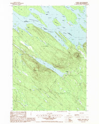 1988 Lambert Lake1988 Print · USGSThe international borderlands of Washington County were documented in detail in the 1980s, centered on the St Croix River and Spednic Lake. Genealogists and historians can locate remote family landmarks like Todds Farm, the local Cem, and the settlement of Lambert Lake.
 - 1988 Map of Tomah Mountain
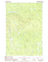 1988 Tomah Mountain1988 Print · USGSIn the Maine woods during the late eighties, the townships of Codyville and Topsfield were hubs for timber and transport. Genealogists and historians can trace local landmarks like the Cem, Microwave Tower, and the drainage of Tomah Stream.
 - 1988 Map of Forest
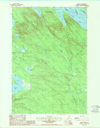 1988 Forest1988 Print · USGSThe Maine-New Brunswick borderlands are captured here in the late twentieth century, showing the remote timberlands and lake systems of Washington County. Researchers can trace the water levels of the Chiputneticook Lakes and locate landmarks like Greenland Mountain and the settlement of Forest.
 - 1994 Map of Calais
 1994 Calais1994 Print · USGSEastern Maine's river and lake country comes into focus in the 1990s, centered on the international border at Calais and the vast Passamaquoddy Indian Reservation. Researchers can trace the water-linked settlements of Grand Lake Stream, the airfield at Princeton Airport, and the industrial heritage of Woodland.
 - 1994 Map of Danforth
 1994 Danforth1994 Print · USGSThe Maine-New Brunswick borderlands come into focus in the 1990s, where the international line traces the St Croix River. Researchers can map the historic Wilcox Settlement, the rail corridor of the Canadian Pacific, and the waterfronts of Spednic Lake.
 - 2011 Map of Forest, 2011 Print
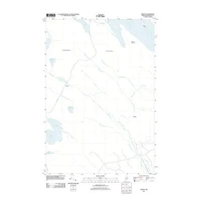 2011 Forest2011 Print · USGSThe Maine-Washington County borderlands near the Saint Croix River appear here during the early twenty-first century. Researchers can trace the layout of Forest and Tomah, or locate landmarks like Spednic Mountain and Crooked Brook Lake.
 - 2011 Map of Lambert Lake, 2011 Print
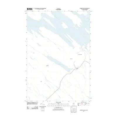 2011 Lambert Lake2011 Print · USGSThe Maine-Canada borderlands near Vanceboro are captured here in the early twenty-first century. Genealogists and outdoorsmen can trace the rural landscape from Todds Farm to the heights of Pirate Hill and Tomah Mountain.
 - 2011 Map of Simsquish Lake, 2011 Print
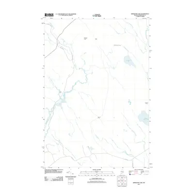 2011 Simsquish Lake2011 Print · USGSThis remote stretch of Washington County, Maine, is shown at the start of the 2010s, defined by its intricate network of brooks and isolated camps. Researchers can trace the layout of family-named sites like Todd Farm and Longfellow Camp along the winding Tomah Stream.
 - 2011 Map of Tomah Mountain, 2011 Print
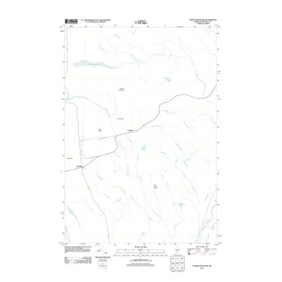 2011 Tomah Mountain2011 Print · USGSTopsfield and Codyville are captured here in the early twenty-first century, showing the small settlements surrounded by the dense woods and waterways of Washington County. Researchers can trace local landmarks like The High Bluffs, Little Tomah Lake, and the remote Unknown Pond.
 - 2014 Map of Lambert Lake, 2014 Print
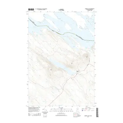 2014 Lambert Lake2014 Print · USGSThe international border at the Chiputneticook Lakes meets the Maine woods in this 2010s survey of Washington County. Local historians can trace the settlement of Lambert Lake and the rugged terrain surrounding Tomah Mtn and Pirate Hill.
 - 2014 Map of Tomah Mountain, 2014 Print
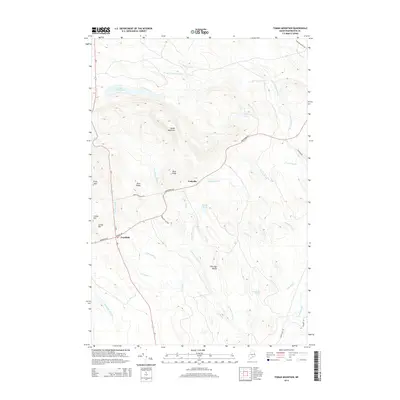 2014 Tomah Mountain2014 Print · USGSWashington County at the start of the 2010s reveals a landscape of timberlands and interconnected waterways near Codyville and Topsfield. Researchers can trace the elevation changes from Tomah Mountain down to the shores of Little Tomah Lake and Simon Pond.
 - 2014 Map of Forest, 2014 Print
 2014 Forest2014 Print · USGSThe international border meets the Maine wilderness in this 2014 study of Washington County's lake country. Genealogists and outdoorsmen can trace the remote settlements of Forest and Tomah or locate landmarks like Greenland Mtn and Spednic Lake.
 - 2014 Map of Simsquish Lake, 2014 Print
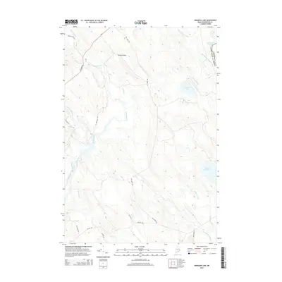 2014 Simsquish Lake2014 Print · USGSThe Maine-Canada borderlands in Washington County are captured here in the early twenty-first century. Outdoorsmen and historians can trace the intricate waterways of Simsquish Lake and Tomah Stream or locate remote tracks like Sporting Fields Trl.
 - 2018 Map of Simsquish Lake, 2018 Print
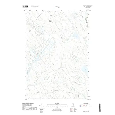 2018 Simsquish Lake2018 Print · USGSWashington County, Maine, is shown here as a wilderness of waterways and timber roads in the 2010s. Researchers can trace the path of the international border or locate remote features like Simsquish Lake, Pattingill Ridge, and the winding Tomah Stream.
 - 2018 Map of Forest, 2018 Print
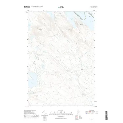 2018 Forest2018 Print · USGSWashington County at the international border is shown here in the late twenty-teens, featuring the remote settlements of Forest and Tomah. Researchers can trace the terrain around Greenland Mtn or locate Big Greenland Lake and The Basin.
 - 2018 Map of Tomah Mountain, 2018 Print
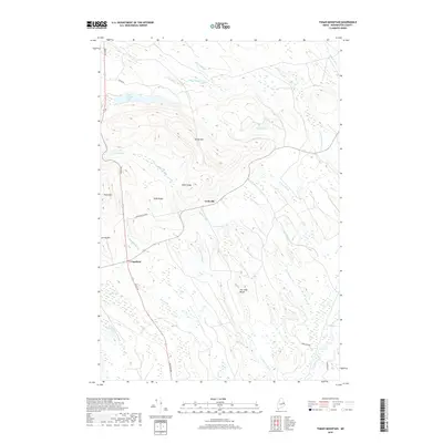 2018 Tomah Mountain2018 Print · USGSWashington County, Maine, is shown here in the late 2010s as a landscape of dense woods, remote ridges, and complex wetlands. Researchers can trace the layout of Codyville and Topsfield or locate landmarks like Tomah Mtn, The High Bluffs, and Little Tomah Lake.
 - 2018 Map of Lambert Lake, 2018 Print
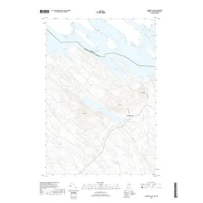 2018 Lambert Lake2018 Print · USGSThe international borderlands of eastern Maine come into sharp focus in this late-decade survey of the woods and waters near Vanceboro. Trace local landmarks like Lambert Lake, Tomah Mtn, and the old paths of Old Schoolhouse Rd and Loon Bay Rd.
Showing maps 1-25 of 33
Top cities near Codyville Township
- Baileyville historical maps
- Princeton historical maps
- Danforth historical maps
- Weston historical maps
- Topsfield historical maps
- Grand Lake Stream historical maps
See more
Frequently asked questions
- What are the different types of historical maps available for Codyville Township?
- What is the oldest map of Codyville Township?
- Where can I purchase historical maps of Codyville Township for my home or office?
- Where can I download high-res historical maps of Codyville Township?
- Are there historical topographic maps available for Codyville Township?
- Is there historical aerial imagery available for Codyville Township?
- Where are historical maps of Codyville Township sourced from?