2000s (21st Century) Maps of Forest City Township, Maine
Explore 15 historic maps of Forest City Township from the 2000s (21st Century). These maps offer a rare glimpse into what life looked like during the 2000s — showing old roads, neighborhoods, homes, and landmarks that have changed or disappeared over time.
Whether you're researching your family's past, planning a metal detecting trip, or studying how Forest City Township's landscape evolved across the 2000s, these high-resolution maps are a powerful tool for exploring the history of this region.
- Focus on a specific era: All maps on this page are from the 2000s, giving you a focused view of this time period.
- See what’s changed: Compare century-old streets, trails, and buildings to today's modern landscape using overlays and satellite layers.
- Research with precision: Use these maps for genealogy, historical research, land use analysis, or educational projects.
- View, download, or print: Maps are fully viewable online in high resolution, and can be downloaded or printed for your own records.
Start exploring Forest City Township's history through authentic maps from the 2000s. This is your window into the past.
Forest City Township, ME maps
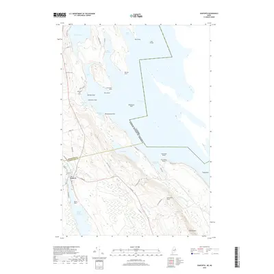
(15)- 2011 Map of Danforth, 2011 Print
 2011 Danforth2011 Print · USGSCovers Forest City Township, including Danforth, Weston, and other nearby areas
 - 2011 Map of Forest, 2011 Print
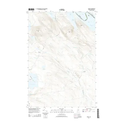
 2011 Forest2011 Print · USGSCovers Forest City Township, including Danforth, Topsfield, and other nearby areas
 - 2011 Map of Forest City, 2011 Print
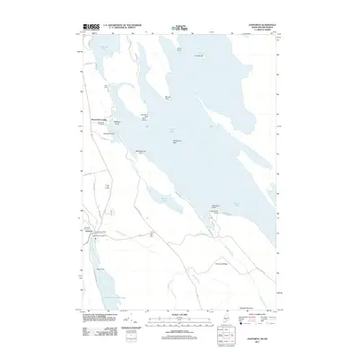
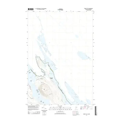
 2011 Forest City2011 Print · USGSCovers Forest City Township, including Danforth, Forest City Landing, and other nearby areas
 - 2014 Map of Danforth, 2014 Print
 2014 Danforth2014 Print · USGSCovers Forest City Township, including Danforth, Weston, and other nearby areas
 - 2014 Map of Forest City, 2014 Print
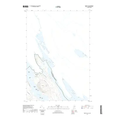
 2014 Forest City2014 Print · USGSCovers Forest City Township, including Danforth, Forest City Landing, and other nearby areas
 - 2014 Map of Forest, 2014 Print
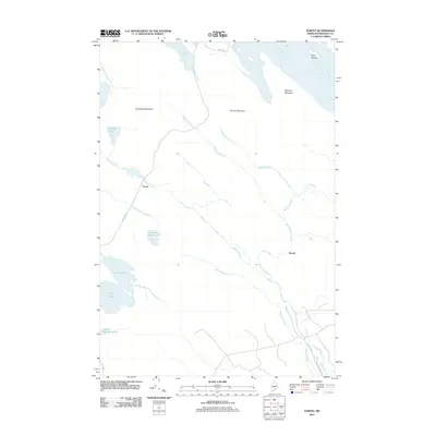
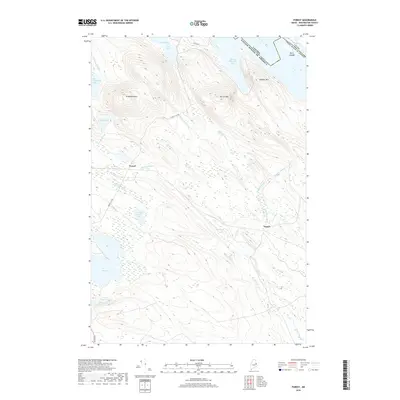
 2014 Forest2014 Print · USGSCovers Forest City Township, including Danforth, Topsfield, and other nearby areas
 - 2018 Map of Forest, 2018 Print
 2018 Forest2018 Print · USGSCovers Forest City Township, including Danforth, Topsfield, and other nearby areas
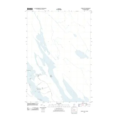
 - 2018 Map of Forest City, 2018 Print
 2018 Forest City2018 Print · USGSCovers Forest City Township, including Danforth, Forest City Landing, and other nearby areas
 - 2018 Map of Danforth, 2018 Print
 2018 Danforth2018 Print · USGSCovers Forest City Township, including Danforth, Weston, and other nearby areas
 - 2021 Map of Danforth, 2021 Print
 2021 Danforth2021 Print · USGSCovers Forest City Township, including Danforth, Weston, and other nearby areas
 - 2021 Map of Forest, 2021 Print
 2021 Forest2021 Print · USGSCovers Forest City Township, including Danforth, Topsfield, and other nearby areas
 - 2021 Map of Forest City, 2021 Print
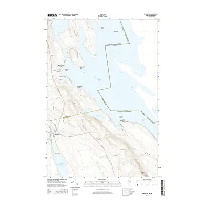
 2021 Forest City2021 Print · USGSCovers Forest City Township, including Danforth, Forest City Landing, and other nearby areas
 - 2024 Map of Danforth, 2024 Print
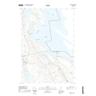
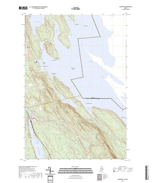 2024 Danforth2024 Print · USGSDanforth and the surrounding lake country of Washington County appear here as a vital international borderland in the early twenty-first century. Genealogists and historians can trace cemetery locations like Hilltop Cem or follow the waters of Grand Lake and Baskahegan Stream.
 - 2024 Map of Forest City, 2024 Print
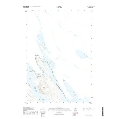
 2024 Forest City2024 Print · USGSThe international border at Forest City is captured here in the 2020s, showing the precise line between Maine and New Brunswick through Spednic Lake. Researchers can trace old family routes like Walls Rd and locate landmarks such as Walls Hill or Mud Lake Falls.
 - 2024 Map of Forest, 2024 Print
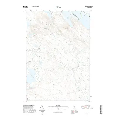
 2024 Forest2024 Print · USGSThe Maine-Canada border country comes alive on this recent survey of the Washington County woods. Researchers can trace the water-bound landscape of Forest and Tomah or locate landmarks like Cowboys Air Ranch and Spednic Mtn.
End of results
Showing maps 1-15 of 15
Top cities near Forest City Township
- Danforth historical maps
- Amity historical maps
- Weston historical maps
- Topsfield historical maps
- Orient historical maps
- Vanceboro historical maps
See more
Top neighborhoods of Forest City Township
Frequently asked questions
- What are the different types of historical maps available for Forest City Township?
- What is the oldest map of Forest City Township?
- Where can I purchase historical maps of Forest City Township for my home or office?
- Where can I download high-res historical maps of Forest City Township?
- Are there historical topographic maps available for Forest City Township?
- Is there historical aerial imagery available for Forest City Township?
- Where are historical maps of Forest City Township sourced from?