2000s (21st Century) Maps of Fowler Township, Maine
Explore 10 historic maps of Fowler Township from the 2000s (21st Century). These maps offer a rare glimpse into what life looked like during the 2000s — showing old roads, neighborhoods, homes, and landmarks that have changed or disappeared over time.
Whether you're researching your family's past, planning a metal detecting trip, or studying how Fowler Township's landscape evolved across the 2000s, these high-resolution maps are a powerful tool for exploring the history of this region.
- Focus on a specific era: All maps on this page are from the 2000s, giving you a focused view of this time period.
- See what’s changed: Compare century-old streets, trails, and buildings to today's modern landscape using overlays and satellite layers.
- Research with precision: Use these maps for genealogy, historical research, land use analysis, or educational projects.
- View, download, or print: Maps are fully viewable online in high resolution, and can be downloaded or printed for your own records.
Start exploring Fowler Township's history through authentic maps from the 2000s. This is your window into the past.
Fowler Township, ME maps
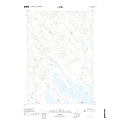
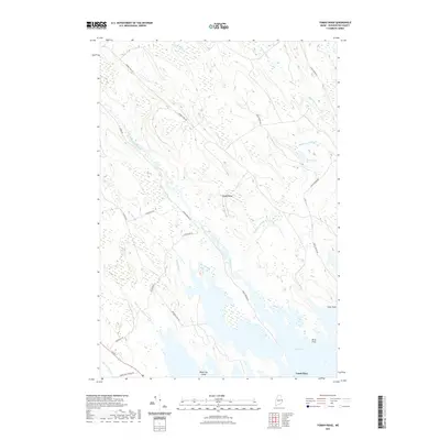
(10)- 2011 Map of Tomah Ridge, 2011 Print
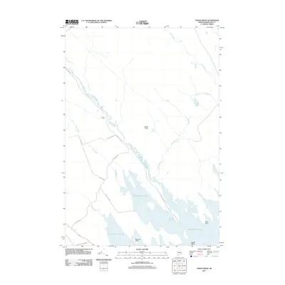 2011 Tomah Ridge2011 Print · USGSCovers Fowler Township, including Baileyville, Princeton, and other nearby areas
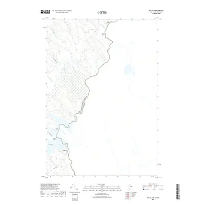
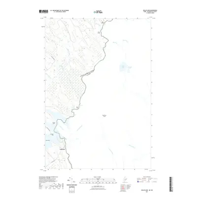
 - 2011 Map of Kelleyland, 2011 Print
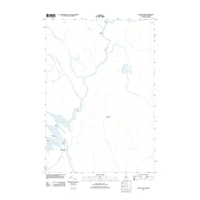 2011 Kelleyland2011 Print · USGSCovers Fowler Township, including Baileyville, Dyer Township, and other nearby areas
 - 2014 Map of Tomah Ridge, 2014 Print
 2014 Tomah Ridge2014 Print · USGSCovers Fowler Township, including Baileyville, Princeton, and other nearby areas
 - 2014 Map of Kelleyland, 2014 Print
 2014 Kelleyland2014 Print · USGSCovers Fowler Township, including Baileyville, Dyer Township, and other nearby areas
 - 2018 Map of Tomah Ridge, 2018 Print
 2018 Tomah Ridge2018 Print · USGSCovers Fowler Township, including Baileyville, Princeton, and other nearby areas
 - 2018 Map of Kelleyland, 2018 Print
 2018 Kelleyland2018 Print · USGSCovers Fowler Township, including Baileyville, Dyer Township, and other nearby areas
 - 2021 Map of Tomah Ridge, 2021 Print
 2021 Tomah Ridge2021 Print · USGSCovers Fowler Township, including Baileyville, Princeton, and other nearby areas
 - 2021 Map of Kelleyland, 2021 Print
 2021 Kelleyland2021 Print · USGSCovers Fowler Township, including Baileyville, Dyer Township, and other nearby areas
 - 2024 Map of Kelleyland, 2024 Print
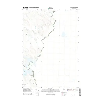
 2024 Kelleyland2024 Print · USGSThe international border along the St Croix River defines this region in Washington County, shown here in the 2020s. Trace the river's descent through Dog Falls and Spednic Falls near the settlement of Kelleyland.
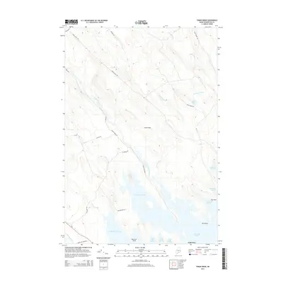
 - 2024 Map of Tomah Ridge, 2024 Print
 2024 Tomah Ridge2024 Print · USGSThis Washington County wilderness in the early twenty-first century is defined by its extensive waterways and ridge lines. Researchers can trace the timber and access networks along Telephone Rd and Tomah Stream Rd or locate islands like Black Cat Island in Big Lake.
End of results
Showing maps 1-10 of 10
Top cities near Fowler Township
- Calais historical maps
- Baileyville historical maps
- Princeton historical maps
- Indian Township / Motahkomikuk historical maps
- Alexander historical maps
- Baring Plantation historical maps
See more
Frequently asked questions
- What are the different types of historical maps available for Fowler Township?
- What is the oldest map of Fowler Township?
- Where can I purchase historical maps of Fowler Township for my home or office?
- Where can I download high-res historical maps of Fowler Township?
- Are there historical topographic maps available for Fowler Township?
- Is there historical aerial imagery available for Fowler Township?
- Where are historical maps of Fowler Township sourced from?