2000s (21st Century) Maps of Marshfield, Maine
Explore 20 historic maps of Marshfield from the 2000s (21st Century). These maps offer a rare glimpse into what life looked like during the 2000s — showing old roads, neighborhoods, homes, and landmarks that have changed or disappeared over time.
Whether you're researching your family's past, planning a metal detecting trip, or studying how Marshfield's landscape evolved across the 2000s, these high-resolution maps are a powerful tool for exploring the history of this region.
- Focus on a specific era: All maps on this page are from the 2000s, giving you a focused view of this time period.
- See what’s changed: Compare century-old streets, trails, and buildings to today's modern landscape using overlays and satellite layers.
- Research with precision: Use these maps for genealogy, historical research, land use analysis, or educational projects.
- View, download, or print: Maps are fully viewable online in high resolution, and can be downloaded or printed for your own records.
Start exploring Marshfield's history through authentic maps from the 2000s. This is your window into the past.
Marshfield, ME maps
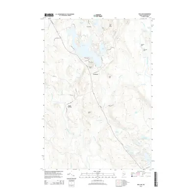
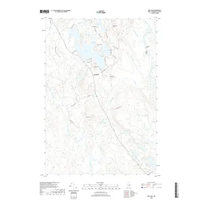
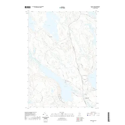
(20)- 2011 Map of Bog Lake, 2011 Print
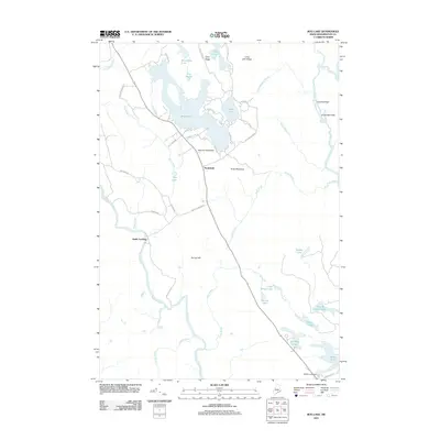 2011 Bog Lake2011 Print · USGSCovers Marshfield, including East Machias, Whitneyville, and other nearby areas
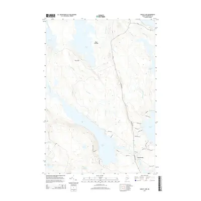
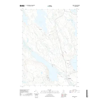
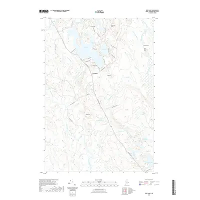
 - 2011 Map of Hadley Lake, 2011 Print
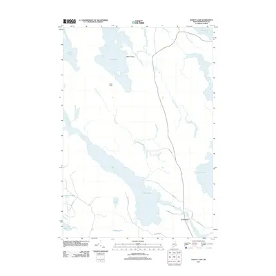 2011 Hadley Lake2011 Print · USGSCovers Marshfield, including East Machias, Berry Township, and other nearby areas
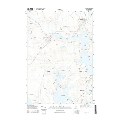
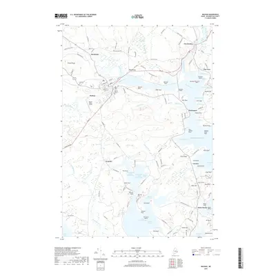
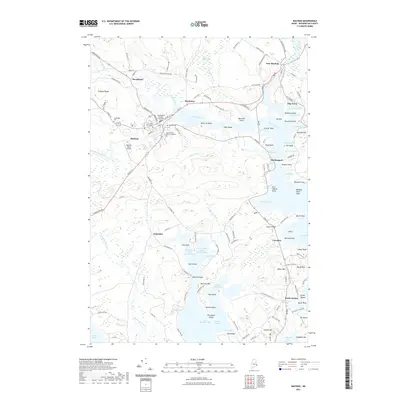
 - 2011 Map of Machias, 2011 Print
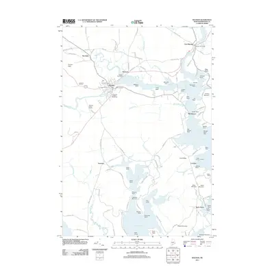 2011 Machias2011 Print · USGSCovers Marshfield, including Machias, East Machias, and other nearby areas
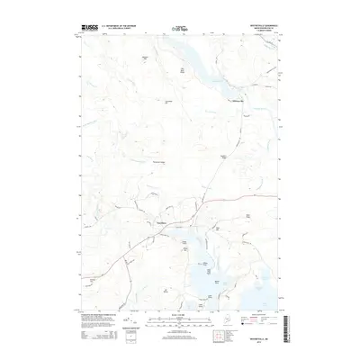
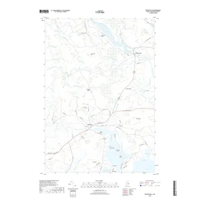
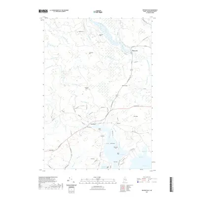
 - 2011 Map of Whitneyville, 2011 Print
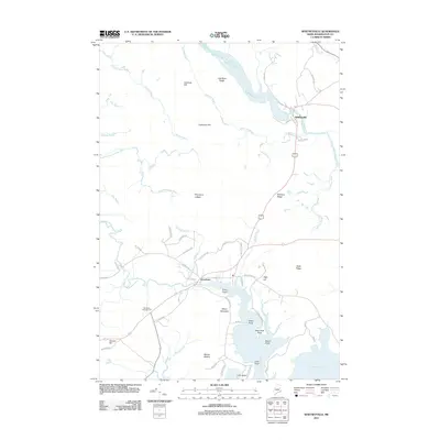 2011 Whitneyville2011 Print · USGSCovers Marshfield, including Machias, Jonesport, and other nearby areas
 - 2014 Map of Bog Lake, 2014 Print
 2014 Bog Lake2014 Print · USGSCovers Marshfield, including East Machias, Whitneyville, and other nearby areas
 - 2014 Map of Hadley Lake, 2014 Print
 2014 Hadley Lake2014 Print · USGSCovers Marshfield, including East Machias, Berry Township, and other nearby areas
 - 2014 Map of Whitneyville, 2014 Print
 2014 Whitneyville2014 Print · USGSCovers Marshfield, including Machias, Jonesport, and other nearby areas
 - 2014 Map of Machias, 2014 Print
 2014 Machias2014 Print · USGSCovers Marshfield, including Machias, East Machias, and other nearby areas
 - 2018 Map of Whitneyville, 2018 Print
 2018 Whitneyville2018 Print · USGSCovers Marshfield, including Machias, Jonesport, and other nearby areas
 - 2018 Map of Hadley Lake, 2018 Print
 2018 Hadley Lake2018 Print · USGSCovers Marshfield, including East Machias, Berry Township, and other nearby areas
 - 2018 Map of Bog Lake, 2018 Print
 2018 Bog Lake2018 Print · USGSCovers Marshfield, including East Machias, Whitneyville, and other nearby areas
 - 2018 Map of Machias, 2018 Print
 2018 Machias2018 Print · USGSCovers Marshfield, including Machias, East Machias, and other nearby areas
 - 2021 Map of Hadley Lake, 2021 Print
 2021 Hadley Lake2021 Print · USGSCovers Marshfield, including East Machias, Berry Township, and other nearby areas
 - 2021 Map of Whitneyville, 2021 Print
 2021 Whitneyville2021 Print · USGSCovers Marshfield, including Machias, Jonesport, and other nearby areas
 - 2021 Map of Bog Lake, 2021 Print
 2021 Bog Lake2021 Print · USGSCovers Marshfield, including East Machias, Whitneyville, and other nearby areas
 - 2021 Map of Machias, 2021 Print
 2021 Machias2021 Print · USGSCovers Marshfield, including Machias, East Machias, and other nearby areas
 - 2024 Map of Whitneyville, 2024 Print
 2024 Whitneyville2024 Print · USGSCoastal Washington County is captured in this recent survey, showing the river-fed landscape near the Atlantic shoreline. Researchers can trace the winding Chandler River and locate landmarks from Whitneyville down to Mt Misery and the shores of Mason Bay.
 - 2024 Map of Bog Lake, 2024 Print
 2024 Bog Lake2024 Print · USGSThe interior of Washington County is defined by its intricate river systems and timberlands in this modern survey. Genealogists and local historians can trace the paths of the Machias River and identify family-named landmarks such as Smith Mill Pitch, Harmon Mtn, and Seavey Lake.
 - 2024 Map of Hadley Lake, 2024 Print
 2024 Hadley Lake2024 Print · USGSThe village of Jacksonville and the surrounding Washington County lakes are documented here in recent detail. Genealogists and local historians can trace family-named routes and lakeside tracts near Hadley Lake, Gardner Lake, and the winding East Machias River.
 - 2024 Map of Machias, 2024 Print
 2024 Machias2024 Print · USGSThe Downeast coast comes alive in this study of the Machias Bay area, where river estuaries meet the Atlantic. Researchers can locate family names at the Joseph Getchell Memorial Cem, visit the Washington County Courthouse, or explore the shoreline of Bucks Harbor.
End of results
Showing maps 1-20 of 20
Top cities near Marshfield
- Machias historical maps
- East Machias historical maps
- Jonesport historical maps
- Addison historical maps
- Machiasport historical maps
- Jonesboro historical maps
See more
Top neighborhoods of Marshfield
Frequently asked questions
- What are the different types of historical maps available for Marshfield?
- What is the oldest map of Marshfield?
- Where can I purchase historical maps of Marshfield for my home or office?
- Where can I download high-res historical maps of Marshfield?
- Are there historical topographic maps available for Marshfield?
- Is there historical aerial imagery available for Marshfield?
- Where are historical maps of Marshfield sourced from?