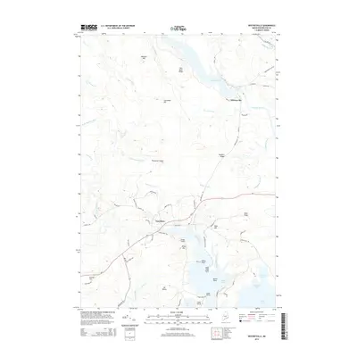
2014 Map of Whitneyville
USGS Topo · Published 2014About this map
Whitneyville and Jonesboro anchor this coastal river landscape in Washington County, where the Machias River and Chandler River flow toward the complex inlets of the Atlantic. The terrain is defined by a series of low ridges and family-named landmarks like Hawkins Ridge, Halls Ridge, and Mt Misery. This 2014 representation shows the modern persistence of traditional town centers and the importance of localized transport hubs, such as the Drisko Airport. The map captures the intricate drainage patterns of dozens of small waterways including Cothell Meadow Brook and Tide Mill Creek, which feed into the tidal reaches of Great Cove and Tenney Cove. These features reflect a landscape that has long been shaped by timber, maritime trade, and granite quarrying, evidenced by local roads like Quarry Rd and landmarks such as Kilton Mtn.
Find a feature on this map
71 named features on this map. Tap any name to fly to it.
Don’t see what you’re looking for? This feature index may not catch every label — zoom into the map to look around manually.
Map Details
Editions of this 2014 Whitneyville Map
This is the sole edition of this map. No revisions or reprints were ever made.
Other maps of this area

1918 · Machias
USGS Topo · 1:62,500

1921 · Columbia Falls
USGS Topo · 1:62,500

1921 · Columbia Falls
USGS Topo · 1:62,500

1941 · Columbia Falls
USGS Topo · 1:62,500

1941 · Machias
USGS Topo · 1:62,500

1941 · Wesley
USGS Topo · 1:62,500

1941 · Gardner Lake
USGS Topo · 1:62,500

1942 · Columbia Falls
USGS Topo · 1:62,500

1943 · Wesley
USGS Topo · 1:62,500

1943 · Gardner Lake
USGS Topo · 1:62,500