Old Maps of Roque Bluffs, Maine for Academic Research
Study the evolution of Roque Bluffs with 38 high-resolution historic maps. Whether you're teaching, researching, or modeling changes in land use, these maps provide essential visual documentation of urban, environmental, and geographic change.
- Analyze long-term change: Track patterns in development, transportation, and natural features.
- Ideal for environmental or urban studies: Support academic projects with primary historical map data.
- Use in the classroom or lab: Educators and researchers rely on these maps to bring historical context to life.
These maps are a powerful tool for teaching, research, and visualizing how Roque Bluffs has changed over the decades.
Roque Bluffs, ME maps
(38)- 1918 Map of Machias
 1918 Machias1918 Print · USGSThe Downeast coast of Washington County comes alive in the years during the Great War, showing the maritime and rail infrastructure that drove the regional economy. Genealogists and historians can trace family-named landmarks and old coastal outposts like Dog Town, Fort O'Brien Point, and the Cross Island L S S.5 unique versions available
 - 1921 Map of Columbia Falls
 1921 Columbia Falls1921 Print · USGSCoastal Washington County at the start of the twenties reveals a landscape defined by tidal reaches and the Maine Central Railroad. Genealogists can locate family homes near Tibbetts Town, Jonesport, and numerous local schools like the White School or Monsapec School.4 unique versions available
 - 1941 Map of Columbia Falls, 1955 Print
 1941 Columbia Falls1955 Print · USGSThe Washington County coast was a bustling network of river-mouth towns and island villages during the early 1940s. Genealogists can locate family landmarks from Whitneyville to Jonesport, including local institutions like Flyingplace Sch and Cape Split Sch.3 unique versions available
 - 1941 Map of Machias, 1956 Print
 1941 Machias1956 Print · USGSThe rugged Washington County coastline at the start of the 1940s reveals a world defined by the Maine Central railroad and tidal waters. Genealogists and historians can trace family-named landmarks such as Hoyttown, Dog Town, and the defensive site at Fort O'Brien Point.3 unique versions available
 - 1942 Map of Columbia Falls
 1942 Columbia Falls1942 Print · USGSCoastal Washington County appears just before the mid-century as a network of fishing villages and rail stops. Genealogists can trace family landmarks and schools like Tibbettsown, Peasley Corners, and the Lower Eastside Sch along the Indian River.
 - 1948 Map of Jonesport, 1965 Print
 1948 Jonesport1965 Print · USGSCoastal Washington County comes alive in the late 1940s, showing the intricate wharves and island reaches of the Downeast shore. Genealogists can trace family homesteads near West Jonesport, Greenwood Cem, and the Upper Bay District Sch.3 unique versions available
 - 1948 Map of Roque Bluffs, 1969 Print
 1948 Roque Bluffs1969 Print · USGSThe Washington County coast is charted here in the years following World War II, showing a shoreline of rocky points and scattered island chains. Genealogists and coastal historians can trace family-named sites like Shoppee Island, Howard Point, and the settlement of Roque Bluffs.2 unique versions available
 - 1948 Map of Whitneyville, 1971 Print
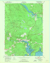 1948 Whitneyville1971 Print · USGSCoastal Washington County comes alive in the late 1940s, showing a landscape defined by tidal rivers and glacial ridges. Genealogists and local historians can locate the White School, trace the banks of the Machias River, and explore named landmarks like Kilton Mtn.3 unique versions available
 - 1949 Map of Machias, 1962 Print
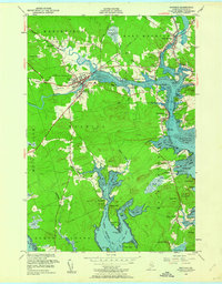 1949 Machias1962 Print · USGSThe Machias area in the late 1940s reflects a classic Maine coastal economy centered on the river and bay. Trace family roots at the Washington State Normal School or explore the waterfronts of Machiasport Station and Bucks Harbor.5 unique versions available
 - 1951 Map of Machias
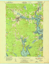 1951 Machias1951 Print · USGSCoastal Washington County is captured here in the early fifties, showing the vital rail-and-sea connections of Machias. Genealogists and historians can trace family locations in Dog Town, locate the Longfellow Cem, or explore the grounds of Fort O'Brien Pt.
 - 1951 Map of Whitneyville
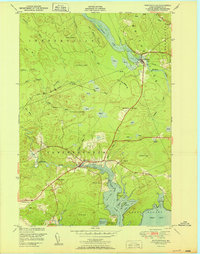 1951 Whitneyville1951 Print · USGSThe coastal inlets and timberlands of Washington County come alive in this mid-century survey of Jonesboro and Whitneyville. Researchers can trace the path of the Maine Central railroad and locate old landmarks like the White School or Mt Misery.
 - 1951 Map of Jonesport
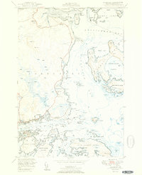 1951 Jonesport1951 Print · USGSCoastal Washington County at mid-century reveals a landscape of seafaring villages and intricate tidal waterways. Researchers can trace genealogical roots through landmarks like the Kelley School, Greenwood Cem, and the settlement of Monsonpec.2 unique versions available
 - 1951 Map of Roque Bluffs
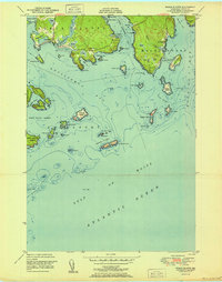 1951 Roque Bluffs1951 Print · USGSThe Maine coastline near Roque Bluffs appears here in the early fifties, showing a maritime landscape of intricate bays and isolated islands. Researchers can trace coastal landmarks like Starboard, the heights of Johnson Mtn, and the dangerous shoals around The Brothers.
 - 1961 Map of Eastport
 1961 Eastport1961 Print · USGSThe maritime borderlands of Maine and New Brunswick are captured here in the early sixties, showing a world defined by the Bay of Fundy. Researchers can trace the Maine Central Railroad to Machiasport or explore remote island villages like Grand Harbour and Welchpool.
 - 1969 Map of Eastport
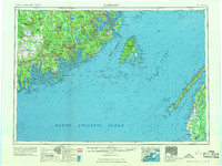 1969 Eastport1969 Print · USGSThe maritime borderlands of Washington County and New Brunswick appear in detail during the late sixties. Researchers can trace historic rail lines like the Maine Central Railroad and explore coastal settlements from Machias to St. Andrews.
 - 1976 Map of Eastport
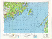 1976 Eastport1976 Print · USGSThe maritime borderlands of Maine and Nova Scotia come alive in this mid-seventies survey of the Downeast coast. Genealogists and historians can trace the shoreline settlements of Eastport, Lubec, and Machias, or cross the channel to find Acadian villages like Church Point and Meteghan Centre.
 - 1985 Map of Machias, 1986 Print
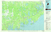 1985 Machias1986 Print · USGSThe Downeast coast of Maine in the 1980s reveals a landscape of deep-water bays, tidal rivers, and isolated timberlands. Researchers can trace the Maine Central rail line and locate coastal landmarks from Leighton Point to the U.S. Naval Radio Station.
 - 1994 Map of Machias
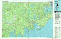 1994 Machias1994 Print · USGSThe Downeast coast of Maine in the 1990s is captured here, from the Narraguagus River to the Canadian border. Genealogists and historians can trace coastal settlements like Jonesboro and Addison or locate the U.S. Naval Radio Station and Moosehorn National Wildlife Refuge.
 - 2011 Map of Roque Bluffs, 2011 Print
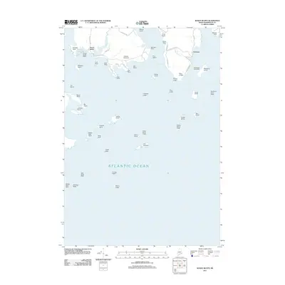 2011 Roque Bluffs2011 Print · USGSThe Downeast coast at Roque Bluffs appears here in the early twenty-first century, showing a shoreline of salt marshes and granite outcroppings. Researchers can trace local roads to landmarks like Shoppee Pond, Starboard, and the numerous islands of the Englishman River estuary.
 - 2011 Map of Jonesport, 2011 Print
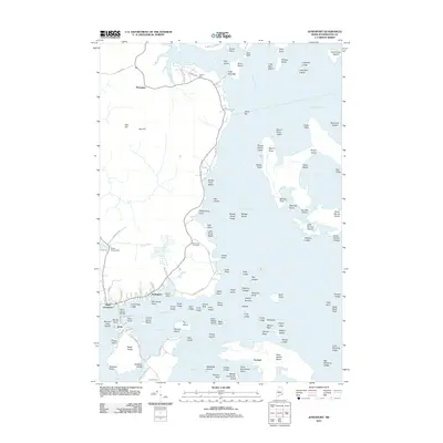 2011 Jonesport2011 Print · USGSJonesport and Beals sit at the heart of this Downeast Maine coastal survey from the early 2010s. Researchers can trace land parcels near Greenwood Cemetery or explore the maritime geography of Moosabec Reach and the numerous islands like Roque Island.
 - 2011 Map of Machias, 2011 Print
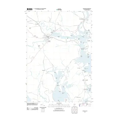 2011 Machias2011 Print · USGSCoastal Washington County is captured here in the early 2000s, showing the intersection of river-driven industry and maritime heritage. Genealogists and historians can trace local landmarks like Longfellow Cemetery, Fort O'Brien, and the University of Maine at Machias.
 - 2011 Map of Whitneyville, 2011 Print
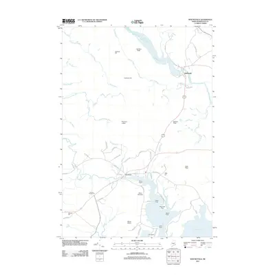 2011 Whitneyville2011 Print · USGSThe coastal river valleys of Washington County are captured here in the early twenty-first century. Genealogists and local historians can trace the roads and ridges around Whitneyville, Jonesboro, and landmarks like Mount Misery or the Drisko Airport.
 - 2014 Map of Whitneyville, 2014 Print
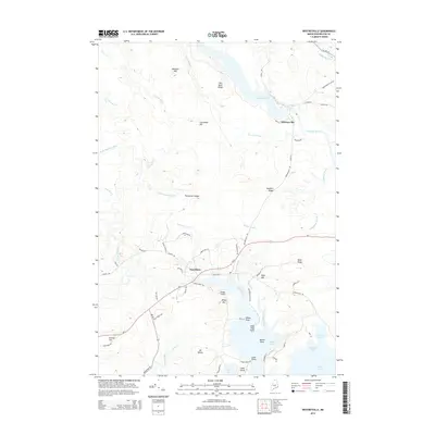 2014 Whitneyville2014 Print · USGSThe coastal river valleys of Washington County are shown here in the early twenty-first century, spanning the settlements of Whitneyville and Jonesboro. Researchers can trace old family sites and topographical landmarks from Mt Misery down to the shores of Great Cove.
 - 2014 Map of Machias, 2014 Print
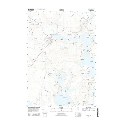 2014 Machias2014 Print · USGSCoastal Washington County comes to life in this detailed survey of the Machias River estuary and its surrounding Down East settlements. Genealogists and local historians can trace family plots at O'Brien Cem or explore the waterfront history of Bucks Harbor and Machiasport.
 - 2014 Map of Roque Bluffs, 2014 Print
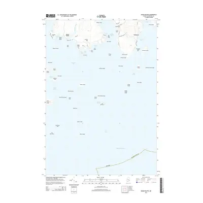 2014 Roque Bluffs2014 Print · USGSThe Washington County coastline in 2014 remains a maze of granite points and tidal coves centered on the villages of Roque Bluffs and Starboard. Genealogists and historians can trace coastal properties near Simpson Pond, Johnson Mtn, and family-named landmarks like Shoppee Point.
Showing maps 1-25 of 38
Top cities near Roque Bluffs
- Machias historical maps
- East Machias historical maps
- Jonesport historical maps
- Addison historical maps
- Machiasport historical maps
- Jonesboro historical maps
See more
Frequently asked questions
- What are the different types of historical maps available for Roque Bluffs?
- What is the oldest map of Roque Bluffs?
- Where can I purchase historical maps of Roque Bluffs for my home or office?
- Where can I download high-res historical maps of Roque Bluffs?
- Are there historical topographic maps available for Roque Bluffs?
- Is there historical aerial imagery available for Roque Bluffs?
- Where are historical maps of Roque Bluffs sourced from?