Old Maps of T26 ED BPP, Maine for Hiking & Exploration
Hike through history with 44 historic maps of T26 ED BPP. Explore old trails, ghost towns, and forgotten backroads — perfect for outdoor adventurers and local explorers.
- Rediscover forgotten places: Map out old mining camps, roads, and footpaths that no longer exist on modern maps.
- Layer with modern tools: Combine with LiDAR or satellite views to plan hikes through historical terrain.
- Made for exploration: Popular among hikers, overlanders, and local history lovers.
Use these maps to find adventure and explore the hidden past of T26 ED BPP.
T26 ED BPP, ME maps
(44)- 1941 Map of Wesley, 1956 Print
 1941 Wesley1956 Print · USGSWashington County’s interior woods and riverways appear here as they were surveyed just before the war. You can trace the path of the Air Line road and locate landmarks like the Lower Wesley Sch, Joe Hanscom Heath, and Smith Landing.3 unique versions available
 - 1941 Map of Big Lake, 1960 Print
 1941 Big Lake1960 Print · USGSThe Washington County lakeside communities of Princeton and South Princeton appear in this early 1940s survey. Researchers can trace historic landmarks like the Dixie School, Red Beach Landing, and the Fire Tower atop Pocamoonsine Mountain.
 - 1941 Map of Wabassus Lake, 1962 Print
 1941 Wabassus Lake1962 Print · USGSThe Downeast timberlands of Washington County were a labyrinth of logging camps and glacial lakes just before the mid-century. Researchers can trace the water-and-woods economy through Farm Cove Dam, the Dennison Portage, and the village of Grand Lake Stream.
 - 1943 Map of Big Lake
 1943 Big Lake1943 Print · USGSIn the early 1940s, this portion of Washington County was a mosaic of interconnected waterways and timberlands. Researchers can trace old rail routes along the Maine Central, locate the Dixie School, or explore family landmarks like Yates Point and Jameson Cove.4 unique versions available
 - 1943 Map of Wesley
 1943 Wesley1943 Print · USGSWashington County during the early 1940s was defined by its timberlands and the winding Machias River. Genealogists and local historians can trace family locations and rural landmarks like Mattimo Place, the Northfield Sch, and the hilltop Firetower.2 unique versions available
 - 1943 Map of Wabassus Lake
 1943 Wabassus Lake1943 Print · USGSThe Maine wilderness of Washington County comes alive in the 1940s through its intricate network of lakes, logging camps, and traditional portages. Local historians can trace the foundations of Grand Lake Stream or locate remote sites like The Birches and Holland Camp.3 unique versions available
 - 1952 Map of Big Lake
 1952 Big Lake1952 Print · USGSIn the early fifties, the lake country of Washington County remained a maze of waterways and remote townships. Genealogists can trace family footprints at Dixie School, the Indian Township reservation, and the lakeside settlement of Princeton.
 - 1953 Map of Wabassus Lake, 1984 Print
 1953 Wabassus Lake1984 Print · USGSMaine's wilderness townships come to life in this mid-century survey of the interconnected waterways north of the Machias River. Researchers can trace historic forest service landmarks like the State Forest Service Camp or locate the village of Grand Lake Stream and its local cemetery.
 - 1957 Map of Fredericton, 1981 Print
 1957 Fredericton1981 Print · USGSThe New Brunswick and Maine borderlands come into focus in the mid-fifties, dominated by the Saint John River and massive military tracts. Genealogists can locate riverfront hamlets like Maugerville or inland sites like Scotch Settlement along the Canadian Pacific rail line.
 - 1961 Map of Eastport
 1961 Eastport1961 Print · USGSThe maritime borderlands of Maine and New Brunswick are captured here in the early sixties, showing a world defined by the Bay of Fundy. Researchers can trace the Maine Central Railroad to Machiasport or explore remote island villages like Grand Harbour and Welchpool.
 - 1963 Map of Fredericton
 1963 Fredericton1963 Print · USGSThe Saint John River valley and the Maine-New Brunswick border are captured here during the early sixties. Researchers can trace the Canadian Pacific rail lines through rural settlements like Jewetts Mills, Mckeens Corner, and Scotch Settlement.
 - 1963 Map of Big Lake, 1966 Print
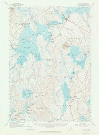 1963 Big Lake1966 Print · USGSWashington County’s lake country is captured here in the mid-1960s, showing the critical water junctions and small settlements near the Maine-New Brunswick border. Researchers can locate family landmarks like St Annes Com, the Univ of Maine Forestry Camp, and several burial grounds including Sand Cove Cem.4 unique versions available
 - 1963 Map of Wabassus Lake, 1966 Print
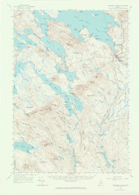 1963 Wabassus Lake1966 Print · USGSThe interconnected lakes and forest camps of eastern Maine are captured here in the mid-1960s. Researchers can trace historical portages and remote outposts like Elsemore Landing, the State Forest Service Camp, and Grand Lake Stream.2 unique versions available
 - 1969 Map of Eastport
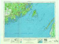 1969 Eastport1969 Print · USGSThe maritime borderlands of Washington County and New Brunswick appear in detail during the late sixties. Researchers can trace historic rail lines like the Maine Central Railroad and explore coastal settlements from Machias to St. Andrews.
 - 1975 Map of Wabassus Lake SE, 1980 Print
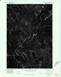 1975 Wabassus Lake SE1980 Print · USGSThe Maine wilderness of Washington County is captured in this mid-seventies aerial survey, showing the landscape's raw texture and timber roads. Researchers can study the shorelines of Third Machias Lake and Monroe Lake as they appeared decades ago.
 - 1976 Map of Eastport
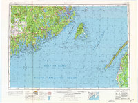 1976 Eastport1976 Print · USGSThe maritime borderlands of Maine and Nova Scotia come alive in this mid-seventies survey of the Downeast coast. Genealogists and historians can trace the shoreline settlements of Eastport, Lubec, and Machias, or cross the channel to find Acadian villages like Church Point and Meteghan Centre.
 - 1985 Map of Machias, 1986 Print
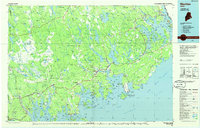 1985 Machias1986 Print · USGSThe Downeast coast of Maine in the 1980s reveals a landscape of deep-water bays, tidal rivers, and isolated timberlands. Researchers can trace the Maine Central rail line and locate coastal landmarks from Leighton Point to the U.S. Naval Radio Station.
 - 1986 Map of Calais
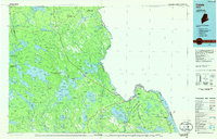 1986 Calais1986 Print · USGSCoastal and interior Washington County are captured here in the mid-1980s, where the international border follows the winding St Croix River. Genealogists and historians can trace the rail lines of the Maine Central and find landmarks like Red Beach and Princeton Airport.
 - 1990 Map of Round Lake
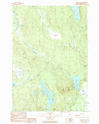 1990 Round Lake1990 Print · USGSWashington County’s river-and-lake wilderness is captured here in the late twentieth century, showing a landscape shaped by water and woods. Genealogists and historians can trace family-named landmarks like Joe Hanscom Heath, Talbot Ridge, and Munson Rips.
 - 1990 Map of Clifford Lake
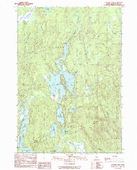 1990 Clifford Lake1990 Print · USGSWashington County, Maine, in the late twentieth century is a landscape of expansive waters and ridges. Genealogists and outdoorsmen can trace the shores of Clifford Lake and locate specific sites like Carloe Pond, Love Ridge, and the Plantation No 21 border.
 - 1990 Map of Wesley
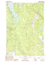 1990 Wesley1990 Print · USGSWashington County’s timber and lake country is captured here during the late twentieth century. Genealogists and researchers can trace local landmarks like the Wesley Fire Tower, the small settlement at The Pines, and family-named waters such as Dudley Brook.
 - 1990 Map of Monroe Lake
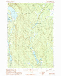 1990 Monroe Lake1990 Print · USGSWashington County’s interior waterways are captured here in the late twentieth century, showing a remote landscape of interconnected lakes and timberlands. Researchers can trace the flow of the Machias River through Second Machias Lake and locate specific features like Hay Meadows and Getchel Mountain.
 - 1994 Map of Calais
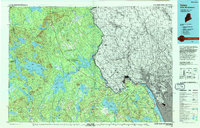 1994 Calais1994 Print · USGSEastern Maine's river and lake country comes into focus in the 1990s, centered on the international border at Calais and the vast Passamaquoddy Indian Reservation. Researchers can trace the water-linked settlements of Grand Lake Stream, the airfield at Princeton Airport, and the industrial heritage of Woodland.
 - 1994 Map of Machias
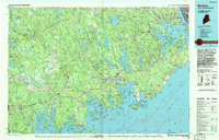 1994 Machias1994 Print · USGSThe Downeast coast of Maine in the 1990s is captured here, from the Narraguagus River to the Canadian border. Genealogists and historians can trace coastal settlements like Jonesboro and Addison or locate the U.S. Naval Radio Station and Moosehorn National Wildlife Refuge.
 - 2011 Map of Monroe Lake, 2011 Print
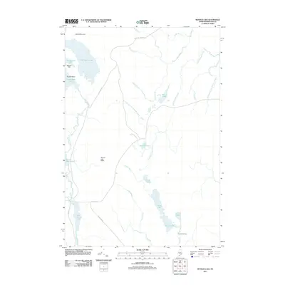 2011 Monroe Lake2011 Print · USGSWashington County at the start of the twenty-first century remains a vast landscape of interconnected waterways and timberlands. Researchers can trace the drainage of the Machias River and find specific landmarks like the Second Lake Dam or Norway Island.
Showing maps 1-25 of 44
Top cities near T26 ED BPP
- East Machias historical maps
- Baileyville historical maps
- Princeton historical maps
- Indian Township / Motahkomikuk historical maps
- Marshfield historical maps
- Alexander historical maps
See more
Frequently asked questions
- What are the different types of historical maps available for T26 ED BPP?
- What is the oldest map of T26 ED BPP?
- Where can I purchase historical maps of T26 ED BPP for my home or office?
- Where can I download high-res historical maps of T26 ED BPP?
- Are there historical topographic maps available for T26 ED BPP?
- Is there historical aerial imagery available for T26 ED BPP?
- Where are historical maps of T26 ED BPP sourced from?