2000s (21st Century) Maps of T37 MD BPP, Maine
Explore 25 historic maps of T37 MD BPP from the 2000s (21st Century). These maps offer a rare glimpse into what life looked like during the 2000s — showing old roads, neighborhoods, homes, and landmarks that have changed or disappeared over time.
Whether you're researching your family's past, planning a metal detecting trip, or studying how T37 MD BPP's landscape evolved across the 2000s, these high-resolution maps are a powerful tool for exploring the history of this region.
- Focus on a specific era: All maps on this page are from the 2000s, giving you a focused view of this time period.
- See what’s changed: Compare century-old streets, trails, and buildings to today's modern landscape using overlays and satellite layers.
- Research with precision: Use these maps for genealogy, historical research, land use analysis, or educational projects.
- View, download, or print: Maps are fully viewable online in high resolution, and can be downloaded or printed for your own records.
Start exploring T37 MD BPP's history through authentic maps from the 2000s. This is your window into the past.
T37 MD BPP, ME maps
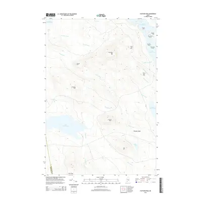
(25)- 2011 Map of Fletcher Peak, 2011 Print
 2011 Fletcher Peak2011 Print · USGSCovers T37 MD BPP, including T42 MD BPP, T36 MD BPP, and other nearby areas
 - 2011 Map of Monroe Lake, 2011 Print
 2011 Monroe Lake2011 Print · USGSCovers T37 MD BPP, including T26 ED BPP, T36 MD BPP, and other nearby areas
 - 2011 Map of Wesley, 2011 Print
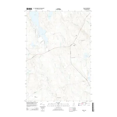
 2011 Wesley2011 Print · USGSCovers T37 MD BPP, including Wesley, Crawford, and other nearby areas
 - 2011 Map of Tug Mountain, 2011 Print
 2011 Tug Mountain2011 Print · USGSCovers T37 MD BPP, including T30 MD BPP, T36 MD BPP, and other nearby areas
 - 2011 Map of Clifford Lake, 2011 Print
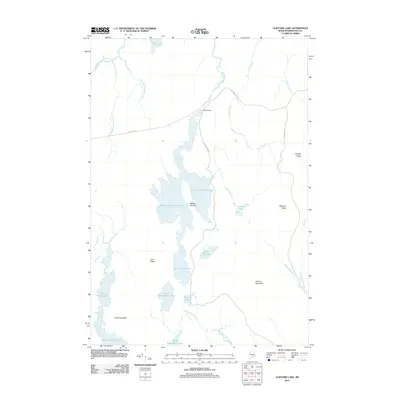 2011 Clifford Lake2011 Print · USGSCovers T37 MD BPP, including Crawford, T26 ED BPP, and other nearby areas
 - 2014 Map of Fletcher Peak, 2014 Print
 2014 Fletcher Peak2014 Print · USGSCovers T37 MD BPP, including T42 MD BPP, T36 MD BPP, and other nearby areas
 - 2014 Map of Clifford Lake, 2014 Print
 2014 Clifford Lake2014 Print · USGSCovers T37 MD BPP, including Crawford, T26 ED BPP, and other nearby areas
 - 2014 Map of Wesley, 2014 Print
 2014 Wesley2014 Print · USGSCovers T37 MD BPP, including Wesley, Crawford, and other nearby areas
 - 2014 Map of Tug Mountain, 2014 Print
 2014 Tug Mountain2014 Print · USGSCovers T37 MD BPP, including T30 MD BPP, T36 MD BPP, and other nearby areas
 - 2014 Map of Monroe Lake, 2014 Print
 2014 Monroe Lake2014 Print · USGSCovers T37 MD BPP, including T26 ED BPP, T36 MD BPP, and other nearby areas
 - 2018 Map of Wesley, 2018 Print
 2018 Wesley2018 Print · USGSCovers T37 MD BPP, including Wesley, Crawford, and other nearby areas
 - 2018 Map of Tug Mountain, 2018 Print
 2018 Tug Mountain2018 Print · USGSCovers T37 MD BPP, including T30 MD BPP, T36 MD BPP, and other nearby areas
 - 2018 Map of Clifford Lake, 2018 Print
 2018 Clifford Lake2018 Print · USGSCovers T37 MD BPP, including Crawford, T26 ED BPP, and other nearby areas
 - 2018 Map of Fletcher Peak, 2018 Print
 2018 Fletcher Peak2018 Print · USGSCovers T37 MD BPP, including T42 MD BPP, T36 MD BPP, and other nearby areas
 - 2018 Map of Monroe Lake, 2018 Print
 2018 Monroe Lake2018 Print · USGSCovers T37 MD BPP, including T26 ED BPP, T36 MD BPP, and other nearby areas
 - 2021 Map of Wesley, 2021 Print
 2021 Wesley2021 Print · USGSCovers T37 MD BPP, including Wesley, Crawford, and other nearby areas
 - 2021 Map of Tug Mountain, 2021 Print
 2021 Tug Mountain2021 Print · USGSCovers T37 MD BPP, including T30 MD BPP, T36 MD BPP, and other nearby areas
 - 2021 Map of Monroe Lake, 2021 Print
 2021 Monroe Lake2021 Print · USGSCovers T37 MD BPP, including T26 ED BPP, T36 MD BPP, and other nearby areas
 - 2021 Map of Clifford Lake, 2021 Print
 2021 Clifford Lake2021 Print · USGSCovers T37 MD BPP, including Crawford, T26 ED BPP, and other nearby areas
 - 2021 Map of Fletcher Peak, 2021 Print
 2021 Fletcher Peak2021 Print · USGSCovers T37 MD BPP, including T42 MD BPP, T36 MD BPP, and other nearby areas
 - 2024 Map of Wesley, 2024 Print
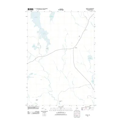
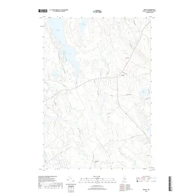
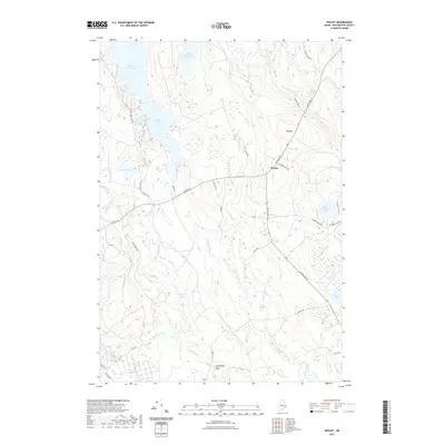
 2024 Wesley2024 Print · USGSWesley and the surrounding timberlands of Washington County are shown in this recent survey, centered on the intersection of Airline Rd and JR Williams Rd. Researchers can trace the waterways of First Chain Lake and the specific locations of Stinking Jam Rapids and Day Hill.
 - 2024 Map of Clifford Lake, 2024 Print
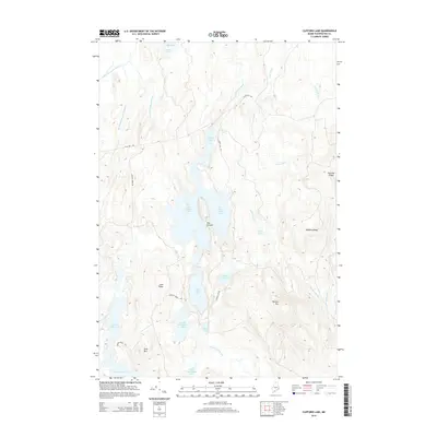
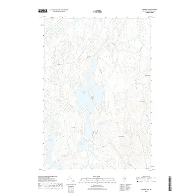
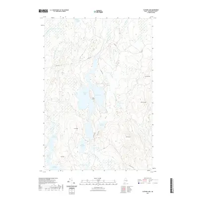
 2024 Clifford Lake2024 Print · USGSThe interior of Washington County is mapped here during the twenty-first century, showing a remote landscape defined by large glacial lakes and industrial timber roads. Researchers can trace the drainage of Clifford Lake and find landmarks like Harmon Mtn and Hosea Pug Lake.
 - 2024 Map of Tug Mountain, 2024 Print
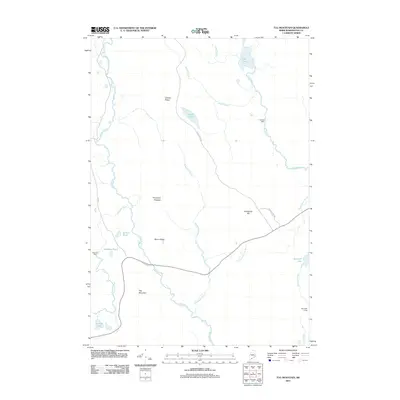
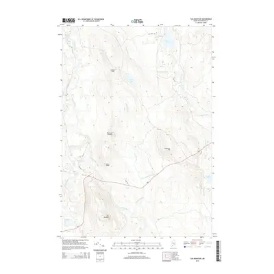
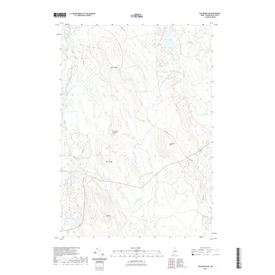
 2024 Tug Mountain2024 Print · USGSMaine's eastern woods are revealed in this modern survey of the interior Machias River watershed. Genealogists and historians can trace the naming of local landmarks like Tug Mtn, Porcupine Pinnacle, and the historic CCC RD corridor.
 - 2024 Map of Fletcher Peak, 2024 Print
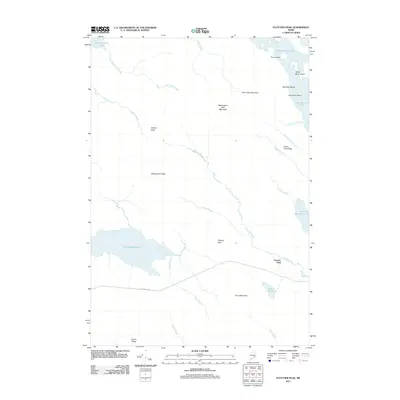
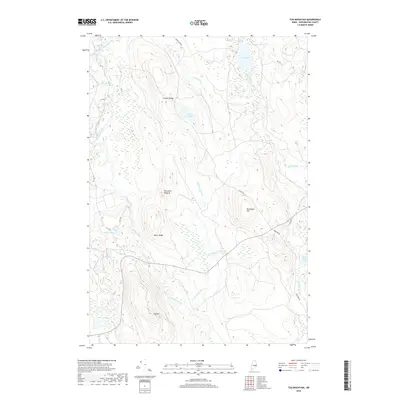
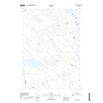
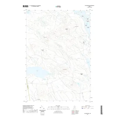
 2024 Fletcher Peak2024 Print · USGSThe Maine north woods are documented here in the early twenty-first century, showing the dense network of waterways and timber ridges. Researchers can trace the industrial geography of Stud Mill Rd and landforms like Slewgundy Ridge and Fletcher Field.
 - 2024 Map of Monroe Lake, 2024 Print
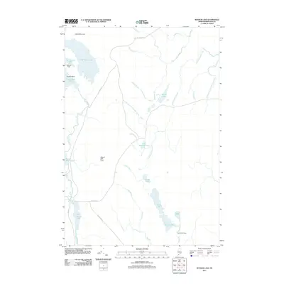
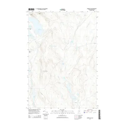
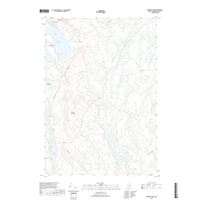
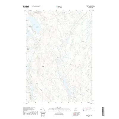
 2024 Monroe Lake2024 Print · USGSInland Washington County is captured in this recent survey, showcasing the dense network of waterways and timber roads that define the Maine woods. Researchers can trace the path of the Machias River and locate remote landmarks like Getchel Mtn and the Midland Flats.
End of results
Showing maps 1-25 of 25
Top cities near T37 MD BPP
- Princeton historical maps
- Indian Township / Motahkomikuk historical maps
- Northfield historical maps
- Grand Lake Stream historical maps
- Wesley historical maps
- Lakeville historical maps
See more
Frequently asked questions
- What are the different types of historical maps available for T37 MD BPP?
- What is the oldest map of T37 MD BPP?
- Where can I purchase historical maps of T37 MD BPP for my home or office?
- Where can I download high-res historical maps of T37 MD BPP?
- Are there historical topographic maps available for T37 MD BPP?
- Is there historical aerial imagery available for T37 MD BPP?
- Where are historical maps of T37 MD BPP sourced from?