2000s (21st Century) Maps of York County, Maine
Explore 164 historic maps of York County from the 2000s (21st Century). These maps offer a rare glimpse into what life looked like during the 2000s — showing old roads, neighborhoods, homes, and landmarks that have changed or disappeared over time.
Whether you're researching your family's past, planning a metal detecting trip, or studying how York County's landscape evolved across the 2000s, these high-resolution maps are a powerful tool for exploring the history of this region.
- Focus on a specific era: All maps on this page are from the 2000s, giving you a focused view of this time period.
- See what’s changed: Compare century-old streets, trails, and buildings to today's modern landscape using overlays and satellite layers.
- Research with precision: Use these maps for genealogy, historical research, land use analysis, or educational projects.
- View, download, or print: Maps are fully viewable online in high resolution, and can be downloaded or printed for your own records.
Start exploring York County's history through authentic maps from the 2000s. This is your window into the past.
York County, ME maps
(164)- 2011 Map of York Harbor, 2011 Print
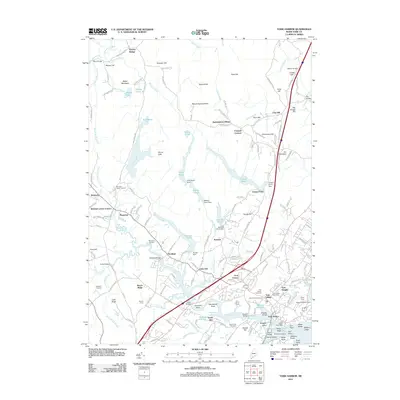 2011 York Harbor2011 Print · USGSCoastal Maine at the turn of the decade reveals a landscape where colonial heritage and maritime geography meet. Researchers can trace ancestral roots at the First Parish Cemetery or locate historic structures like the Macintire Garrison and Barrells Millpond.
 - 2011 Map of Gorham, 2011 Print
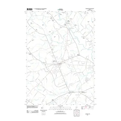 2011 Gorham2011 Print · USGSGorham and the surrounding Cumberland County countryside appear here in the early twenty-first century, showing a mix of university life and rural tradition. Genealogists and historians can locate numerous family burial grounds including Smith-Anderson Cemetery or visit landmarks like Gorham Raceway and the State Reformatory for Men.
 - 2011 Map of Wells, 2011 Print
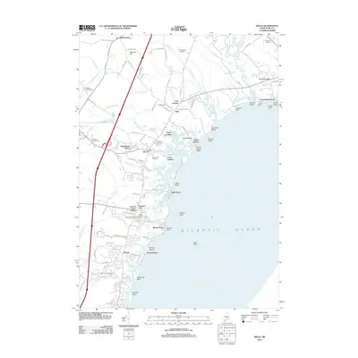 2011 Wells2011 Print · USGSThe York County coast is captured here during a period of modern growth and preserved maritime heritage. Researchers can trace ancestral connections and local landmarks from Charles Chase Corner to the busy Wells Beach Station and Ocean View Cemetery.
 - 2011 Map of Mousam Lake, 2011 Print
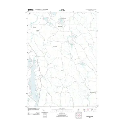 2011 Mousam Lake2011 Print · USGSShapleigh and the surrounding lakes of York County are detailed here in the early 2000s. Genealogists and local historians can trace family-named sites and landmarks like Ross Corner, the Acton Fairgrounds, and Pine Springs Lake Dam.
 - 2011 Map of Prouts Neck, 2011 Print
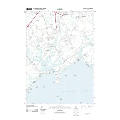 2011 Prouts Neck2011 Print · USGSCoastal Maine at the start of the 2010s reveals a shoreline defined by tidal rivers, salt marshes, and historic seaside neighborhoods. Genealogists and historians can trace the developments of Scarborough, locate Riverside Cemetery, or explore the maritime reaches of Prouts Neck and Higgins Beach.
 - 2011 Map of Kezar Falls, 2011 Print
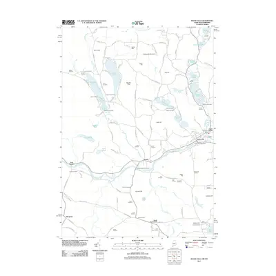 2011 Kezar Falls2011 Print · USGSThe Ossipee River valley and the hills of York County come into focus during the early twenty-first century. Genealogists can trace family lineages through more than a dozen burial sites like Huntress Cemetery and Collomy Cemetery, or locate landmarks such as the Kezar Falls Dam.
 - 2011 Map of Kennebunk, 2011 Print
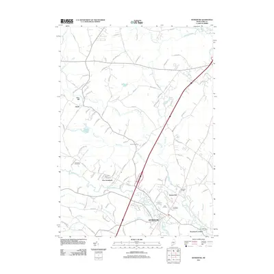 2011 Kennebunk2011 Print · USGSKennebunk and the surrounding York County countryside are shown here at the start of the twenty-first century. Local historians can trace the development of settlements from Kennebunk to Kennebunk Landing, and locate family burial plots at Hope Cemetery or Russell Cemetery.
 - 2011 Map of Bar Mills, 2011 Print
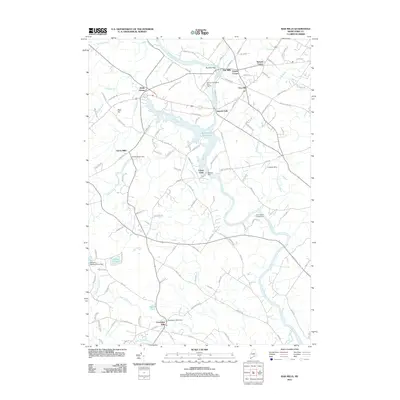 2011 Bar Mills2011 Print · USGSSouthern Maine's river-driven industrial heritage is preserved here as it appeared in the early 2010s. Researchers can trace the legacy of water power at the Bar Mills Dam or locate family landmarks in old village centers like Goodwins Mills and Hollis Center.
 - 2011 Map of North Berwick, 2011 Print
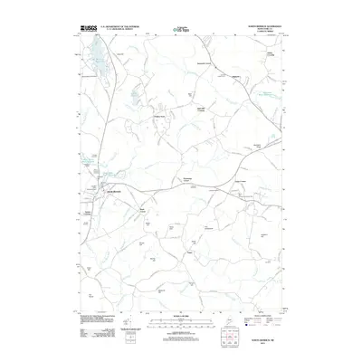 2011 North Berwick2011 Print · USGSSouthern Maine's industrial and agricultural roots are well-preserved in this study of the area surrounding North Berwick. Local historians can trace family burial sites like Quaker Cemetery and Clay Cemetery, or locate historic mill sites at Douthy Falls Dam.
 - 2011 Map of Old Orchard Beach, 2011 Print
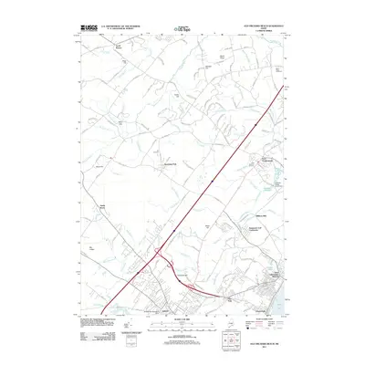 2011 Old Orchard Beach2011 Print · USGSThe York County coastline comes into sharp focus during this period of contemporary growth and coastal development. Genealogists and local historians can trace family-named sites like Milliken Mills, the West Scarborough Cemetery, and the Beech Ridge Speedway.
 - 2011 Map of Cornish, 2011 Print
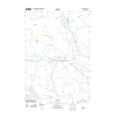 2011 Cornish2011 Print · USGSSouthern Maine river valleys and upland hills come into focus in this early twenty-first-century survey of the Cornish area. Genealogists can trace family heritage across dozens of burial sites including Barker Cemetery, Cole Cemeteries, and Gordon Cemetery.
 - 2011 Map of Alfred, 2011 Print
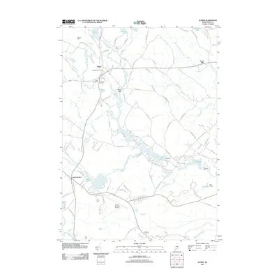 2011 Alfred2011 Print · USGSAlfred and South Sanford are depicted here in the early twenty-first century, showing a mix of historic mill sites and modern transit. Researchers can trace local heritage at Evergreen Cemetery or locate industrial markers like Spang Mills and the Old Falls Dam.
 - 2011 Map of Kennebunkport, 2011 Print
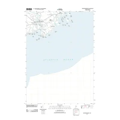 2011 Kennebunkport2011 Print · USGSCoastal York County comes into focus in the early 2010s, showing the dense waterfront of Kennebunkport and the rocky harbor of Cape Porpoise. Researchers can trace the layout of traditional districts like Wildes District or locate historic points such as Taintown Bridge and Walkers Point.
 - 2011 Map of Steep Falls, 2011 Print
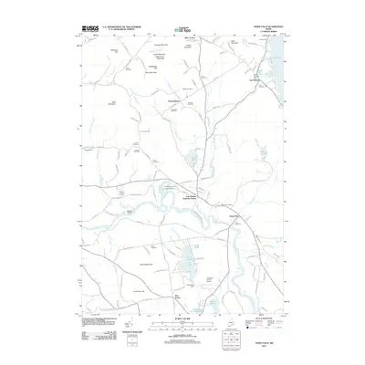 2011 Steep Falls2011 Print · USGSThe rural interior of Cumberland and York counties is mapped here during the early twenty-first century, centered on the winding Saco River. Genealogists and historians can trace numerous family burial sites like York Cemetery and landmark locations such as Mattocks Station and Ruin Corner.
 - 2011 Map of Standish, 2011 Print
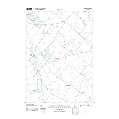 2011 Standish2011 Print · USGSCumberland County communities and the winding Saco River are captured here in the early twenty-first century. Genealogists and historians can trace family roots through numerous sites like Meeting House Hill Cemetery, Kimbles Corner, and the Douglass Seaplane Base.
 - 2011 Map of Limerick, 2011 Print
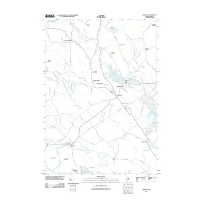 2011 Limerick2011 Print · USGSYork County's interior river valleys and mill towns are detailed in this survey from the early 2000s. Researchers can trace historic family landmarks and settlements from Limerick to Newfield, including the Willowbrook Museum and Highland Cemetery.
 - 2011 Map of Waterboro, 2011 Print
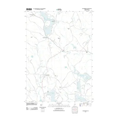 2011 Waterboro2011 Print · USGSWaterboro and the surrounding York County lakelands are captured here in the early twenty-first century. Genealogists and local historians can trace family-named landmarks like Chadbourne Cemetery and Roberts Ridge, or locate the Little Ossipee Lake Seaplane Base on the northern shore.
 - 2011 Map of Great East Lake, 2011 Print
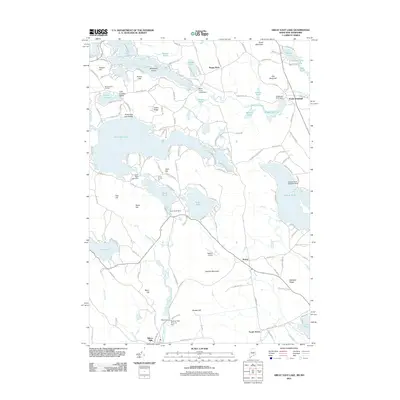 2011 Great East Lake2011 Print · USGSThe Maine and New Hampshire borderlands are captured here in the early twenty-first century, showing a landscape of interconnected glacial lakes and quiet village centers. You can trace the shorelines of Great East Lake or locate specialized aviation sites like the Square Pond Seaplane Base and Mellion Airport.
 - 2011 Map of Limington, 2011 Print
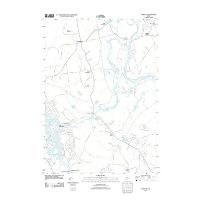 2011 Limington2011 Print · USGSThe York and Cumberland County borderlands come alive in the early twenty-first century, centered on the historic mills and river bends of the Saco. Genealogists can trace family footprints near Chadbournes Mills, Higgins Corner, and Edgecomb Bridge.
 - 2011 Map of West Newfield, 2011 Print
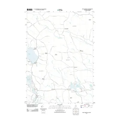 2011 West Newfield2011 Print · USGSThe Maine and New Hampshire borderlands come into focus in this 2011 survey of rural crossroads and lakes. Genealogists and historians can locate family landmarks like the Reed Cemetery or trace old routes through Parsonsfield, Mee Corners, and South Effingham.
 - 2011 Map of Biddeford, 2011 Print
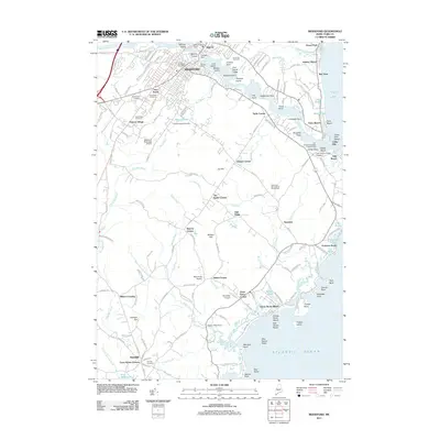 2011 Biddeford2011 Print · USGSCoastal Maine at the turn of the decade shows the industrial and academic growth of the Biddeford area. Genealogists and local researchers can trace family plots in Laurel Hill Cemetery or explore the historic crossroads of Guinea Corner and Town House Corners.
 - 2011 Map of Kittery, 2011 Print
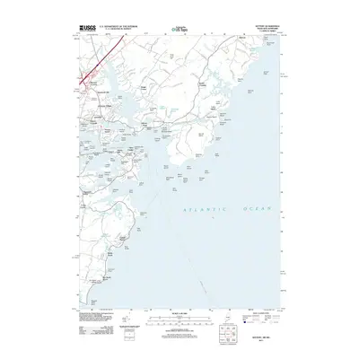 2011 Kittery2011 Print · USGSThe Maine and New Hampshire borderlands are depicted here in the early twenty-first century, centered on the historic maritime corridors of the Piscataqua River. Researchers can trace local lineage through the Old Burying Yard or explore coastal landings at Kittery Point and Frisbee Wharf.
 - 2011 Map of Biddeford Pool, 2011 Print
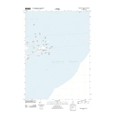 2011 Biddeford Pool2011 Print · USGSThe York County coast is captured here in the early 2010s, showing the intricate relationship between the peninsula settlements and the sea. You can trace the shorelines of Hills Beach and Fletcher Neck or locate maritime landmarks like Wood Island and Fort Hill.
 - 2011 Map of Sanford, 2011 Print
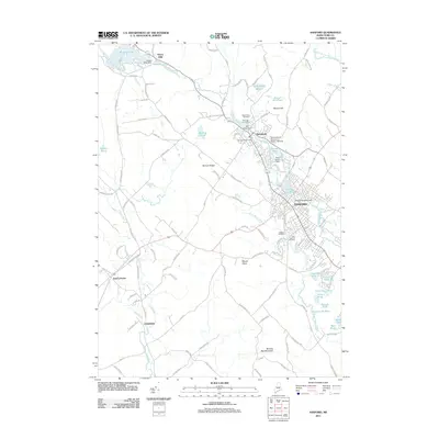 2011 Sanford2011 Print · USGSThe industrial corridor of York County is captured here in the early twenty-first century as the Mousam River flows through Sanford. Genealogists and historians can trace local landmarks like Notre Dame Cemetery and the Emery Mills Dam or locate Bauneg Beg Mountain.
 - 2011 Map of York Beach, 2011 Print
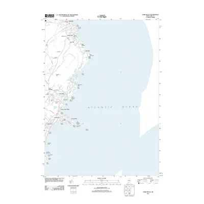 2011 York Beach2011 Print · USGSCoastal Maine’s shoreline is meticulously detailed in this early twenty-first-century survey of the York and Ogunquit area. Researchers can trace the layout of seaside communities from York Beach up to Ogunquit, finding landmarks like the Cape Neddick Lighthouse and the historic Marginal Way Walk.
Showing maps 1-25 of 164
Top cities of York County
- Biddeford historical maps
- Sanford historical maps
- Saco historical maps
- York historical maps
- Kennebunk historical maps
- Wells historical maps
See more
Frequently asked questions
- What are the different types of historical maps available for York County?
- What is the oldest map of York County?
- Where can I purchase historical maps of York County for my home or office?
- Where can I download high-res historical maps of York County?
- Are there historical topographic maps available for York County?
- Is there historical aerial imagery available for York County?
- Where are historical maps of York County sourced from?