Old Maps of Biddeford Pool, Biddeford for Genealogy
Trace your family roots with 18 historic maps of Biddeford Pool. These high-res maps reveal old neighborhoods, homesites, landmarks, and streets — helping you uncover where your ancestors lived and how the area evolved over time.
- Explore historic neighborhoods: Identify where your relatives may have lived in the 1800s or 1900s.
- Compare maps over time: Trace the changes in streets, buildings, and landmarks for multi-generational research.
- Perfect for genealogy & ancestry research: Used by family historians and researchers to map out lineage and migration.
These maps are an incredible resource for exploring your personal connection to Biddeford Pool's past.
Biddeford Pool, Biddeford maps
(18)- 1891 Map of Biddeford
 1891 Biddeford1891 Print · USGSCoastal Maine in the 1890s is defined by the vital rail corridors and working harbors of York County. Researchers can trace the early industrial development of Biddeford, locate family landmarks near Oak Ridge, and explore the maritime layout of Kennebunkport and its lighthouses.
 - 1893 Map of Biddeford
 1893 Biddeford1893 Print · USGSCoastal Maine during the late Victorian era is captured here at the height of its rail-and-sea economy. Genealogists and local historians can trace the early footprints of Biddeford, the busy docks of Cape Porpoise, and maritime landmarks like Wood Island Light.7 unique versions available
 - 1941 Map of Biddeford, 1952 Print
 1941 Biddeford1952 Print · USGSThe York County coastline during the early years of the war reveals a landscape of tidal harbors and rural school districts. Genealogists and historians can locate family plots at Laurel Hill Cem or trace old routes like Guinea Road past the Nott Sch.2 unique versions available
 - 1944 Map of Biddeford
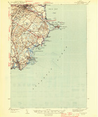 1944 Biddeford1944 Print · USGSCoastal York County at the start of the 1940s reveals a blend of textile-mill industry, storied summer resorts, and rugged maritime life. Researchers can trace the old schoolhouse network including Nell Sch, the grounds of St Francis College, and the waterfront at Cape Porpoise.2 unique versions available
 - 1949 Map of Portland
 1949 Portland1949 Print · USGSCoastal Maine and the New Hampshire interior are shown in detail during the late forties, from the bustling harbors to the lakeside villages. Researchers can trace historical rail networks like the Boston & Maine RR and locate coastal defenses such as Fort Preble.3 unique versions available
 - 1949 Map of Biddeford Pool
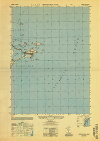 1949 Biddeford Pool1949 Print · USGSThe Maine coastline south of Saco Bay is captured here just after the war, detailing the maritime landscape of Saco and Biddeford. Researchers can trace the layout of Hill Beach and identify offshore landmarks like the Wood Island Lighthouse and Stage I.
 - 1956 Map of Biddeford Pool, 1958 Print
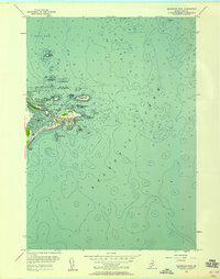 1956 Biddeford Pool1958 Print · USGSThe coastal community of Biddeford Pool is captured in the mid-fifties, showing a landscape of maritime navigation and summer recreation. Genealogists and historians can trace the local shore from Marie Joseph Academy and the U. S. Coast Guard Station to the rocky outcrops of Fletcher Neck.3 unique versions available
 - 1956 Map of Biddeford, 1960 Print
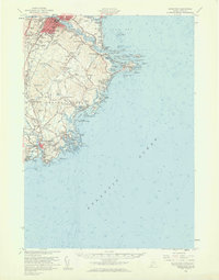 1956 Biddeford1960 Print · USGSThe industrial centers of the Saco River valley and the rugged York County coastline come to life in the mid-fifties. Researchers can trace family-named landmarks like Walkers Point, find local heritage sites like Stella Maris Convent, or locate the Wood Island Lighthouse guarding the harbor.2 unique versions available
 - 1956 Map of Portland, 1963 Print
 1956 Portland1963 Print · USGSSouthern Maine and eastern New Hampshire are captured here in the mid-fifties, during a time of major highway expansion and military growth. You can trace the path of the Maine Turnpike and locate landmarks like the Portsmouth Naval Shipyard and Sebago Lake.4 unique versions available
 - 1959 Map of Portland
 1959 Portland1959 Print · USGSThe Maine and New Hampshire coastlines meet in this mid-century portrait of maritime commerce and inland rail networks. Researchers can trace the legacy of coastal defense at Fort Williams and follow the historic path of the Maine Central RR through the White Mountain National Forest.2 unique versions available
 - 1963 Map of Portland
 1963 Portland1963 Print · USGSCoastal Maine and New Hampshire thrived as maritime and industrial hubs during the mid-sixties, linked by a dense network of rail and river. Researchers can trace historic transit corridors like the Maine Central RR and locate key sites such as the Portsmouth Naval Shipyard or Pease Air Force Base.3 unique versions available
 - 1975 Map of Biddeford Pool, 1979 Print
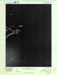 1975 Biddeford Pool1979 Print · USGSCoastal Maine in the mid-seventies is captured in this detailed aerial orthophotograph of the York County shoreline. Genealogists and historians can examine the exact layout of Biddeford Pool and the natural features of The Pool and Fortunes Rocks.
 - 1985 Map of Kittery, 1986 Print
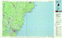 1985 Kittery1986 Print · USGSThe Maine and New Hampshire borderlands are shown here in the mid-eighties, centered on the strategic Piscataqua River harbor. Genealogists and historians can trace the development of coastal towns like York or locate the sprawling Portsmouth Naval Shipyard and Pease Air Force Base.2 unique versions available
 - 2011 Map of Biddeford Pool, 2011 Print
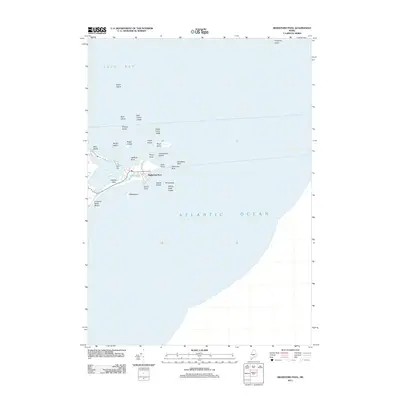 2011 Biddeford Pool2011 Print · USGSThe York County coast is captured here in the early 2010s, showing the intricate relationship between the peninsula settlements and the sea. You can trace the shorelines of Hills Beach and Fletcher Neck or locate maritime landmarks like Wood Island and Fort Hill.
 - 2014 Map of Biddeford Pool, 2014 Print
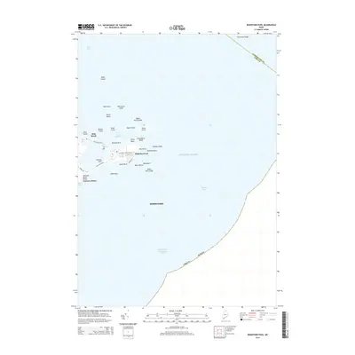 2014 Biddeford Pool2014 Print · USGSThe York County coastline is captured here in the mid-2010s, showing the intricate relationship between the mainland and its rocky barrier islands. Researchers can trace land use patterns across Fletcher Neck and locate historical landmarks like Ft Hill and Hills Beach.
 - 2018 Map of Biddeford Pool, 2018 Print
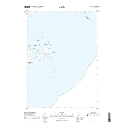 2018 Biddeford Pool2018 Print · USGSThe York County shoreline in the late 2010s reveals a landscape of sheltered harbors and resilient coastal settlements. Researchers can trace the development of Biddeford Pool and Hills Beach alongside landmarks like Wood Island and Ft Hill.
 - 2021 Map of Biddeford Pool, 2021 Print
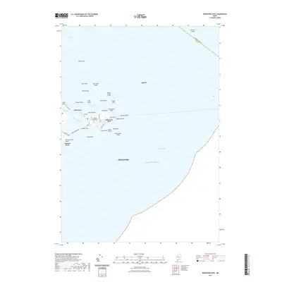 2021 Biddeford Pool2021 Print · USGSCoastal Biddeford and Saco are captured here in this recent survey of the Maine shoreline and its surrounding islands. Genealogists and local historians can trace family-named sites like Fletcher Pool Cem, Libbyshears, and the community at Hills Beach.
 - 2024 Map of Biddeford Pool, 2024 Print
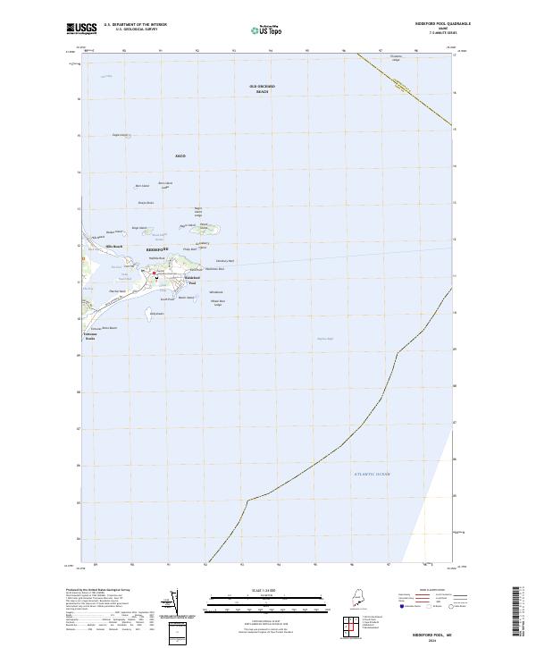 2024 Biddeford Pool2024 Print · USGSThe York County coastline comes into sharp focus in this recent survey of the marshes and islands surrounding Biddeford Pool. Researchers can trace the layout of Hills Beach, find the Biddeford Pool Cem, and explore the tidal reaches of the Rachel Carson National Wildlife Refuge.
End of results
Showing maps 1-18 of 18
Top cities near Biddeford Pool
- Portland historical maps
- South Portland historical maps
- Biddeford historical maps
- Scarborough historical maps
- Westbrook historical maps
- Saco historical maps
See more
Frequently asked questions
- What are the different types of historical maps available for Biddeford Pool?
- What is the oldest map of Biddeford Pool?
- Where can I purchase historical maps of Biddeford Pool for my home or office?
- Where can I download high-res historical maps of Biddeford Pool?
- Are there historical topographic maps available for Biddeford Pool?
- Is there historical aerial imagery available for Biddeford Pool?
- Where are historical maps of Biddeford Pool sourced from?