2000s (21st Century) Maps of Buxton, Maine
Explore 20 historic maps of Buxton from the 2000s (21st Century). These maps offer a rare glimpse into what life looked like during the 2000s — showing old roads, neighborhoods, homes, and landmarks that have changed or disappeared over time.
Whether you're researching your family's past, planning a metal detecting trip, or studying how Buxton's landscape evolved across the 2000s, these high-resolution maps are a powerful tool for exploring the history of this region.
- Focus on a specific era: All maps on this page are from the 2000s, giving you a focused view of this time period.
- See what’s changed: Compare century-old streets, trails, and buildings to today's modern landscape using overlays and satellite layers.
- Research with precision: Use these maps for genealogy, historical research, land use analysis, or educational projects.
- View, download, or print: Maps are fully viewable online in high resolution, and can be downloaded or printed for your own records.
Start exploring Buxton's history through authentic maps from the 2000s. This is your window into the past.
Buxton, ME maps
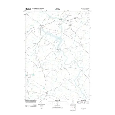
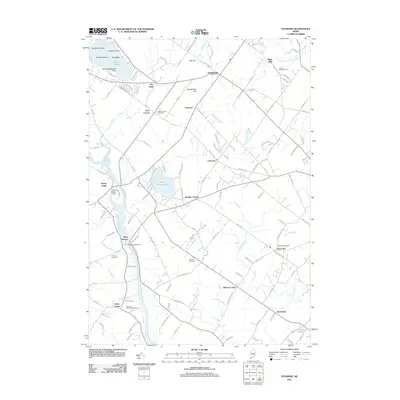
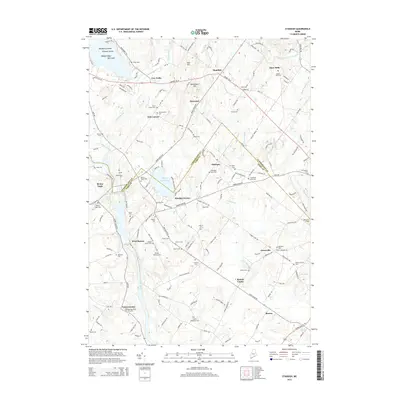
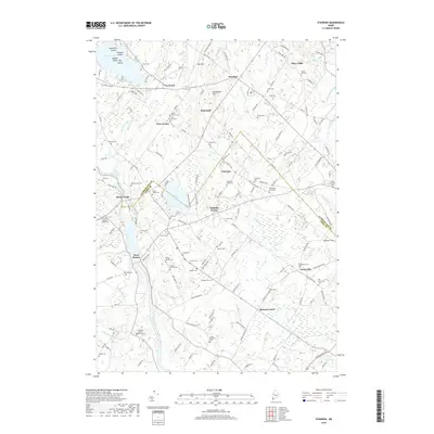
(20)- 2011 Map of Gorham, 2011 Print
 2011 Gorham2011 Print · USGSCovers Buxton, including Scarborough, Westbrook, and other nearby areas
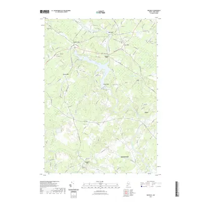
 - 2011 Map of Bar Mills, 2011 Print
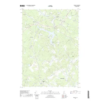
 2011 Bar Mills2011 Print · USGSCovers Buxton, including Biddeford, Saco, and other nearby areas
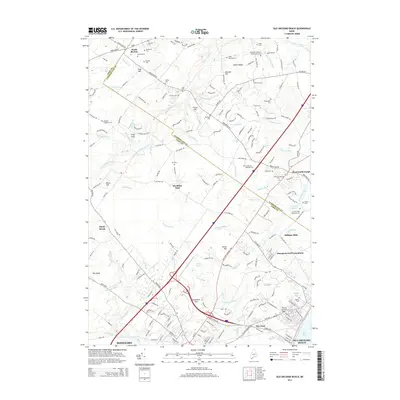
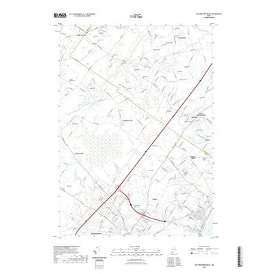
 - 2011 Map of Old Orchard Beach, 2011 Print
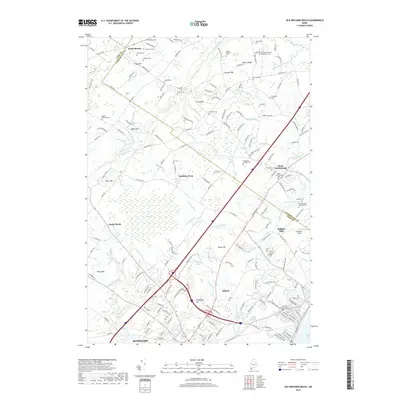
 2011 Old Orchard Beach2011 Print · USGSCovers Buxton, including Biddeford, Scarborough, and other nearby areas
 - 2011 Map of Standish, 2011 Print
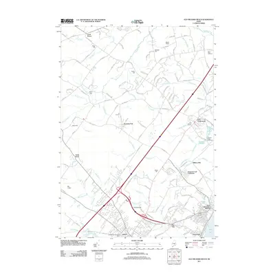
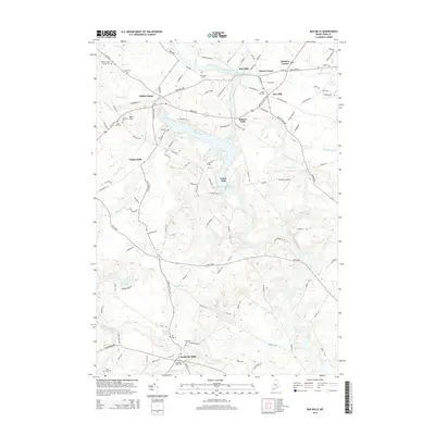
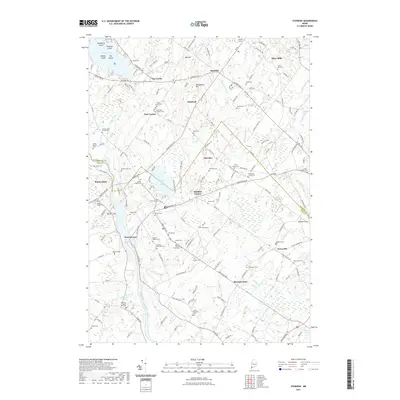
 2011 Standish2011 Print · USGSCovers Buxton, including Gorham, Standish, and other nearby areas
 - 2014 Map of Old Orchard Beach, 2014 Print
 2014 Old Orchard Beach2014 Print · USGSCovers Buxton, including Biddeford, Scarborough, and other nearby areas
 - 2014 Map of Standish, 2014 Print
 2014 Standish2014 Print · USGSCovers Buxton, including Gorham, Standish, and other nearby areas
 - 2014 Map of Bar Mills, 2014 Print
 2014 Bar Mills2014 Print · USGSCovers Buxton, including Biddeford, Saco, and other nearby areas
 - 2014 Map of Gorham, 2014 Print
 2014 Gorham2014 Print · USGSCovers Buxton, including Scarborough, Westbrook, and other nearby areas
 - 2018 Map of Old Orchard Beach, 2018 Print
 2018 Old Orchard Beach2018 Print · USGSCovers Buxton, including Biddeford, Scarborough, and other nearby areas
 - 2018 Map of Bar Mills, 2018 Print
 2018 Bar Mills2018 Print · USGSCovers Buxton, including Biddeford, Saco, and other nearby areas
 - 2018 Map of Gorham, 2018 Print
 2018 Gorham2018 Print · USGSCovers Buxton, including Scarborough, Westbrook, and other nearby areas
 - 2018 Map of Standish, 2018 Print
 2018 Standish2018 Print · USGSCovers Buxton, including Gorham, Standish, and other nearby areas
 - 2021 Map of Bar Mills, 2021 Print
 2021 Bar Mills2021 Print · USGSCovers Buxton, including Biddeford, Saco, and other nearby areas
 - 2021 Map of Standish, 2021 Print
 2021 Standish2021 Print · USGSCovers Buxton, including Gorham, Standish, and other nearby areas
 - 2021 Map of Gorham, 2021 Print
 2021 Gorham2021 Print · USGSCovers Buxton, including Scarborough, Westbrook, and other nearby areas
 - 2021 Map of Old Orchard Beach, 2021 Print
 2021 Old Orchard Beach2021 Print · USGSCovers Buxton, including Biddeford, Scarborough, and other nearby areas
 - 2024 Map of Standish, 2024 Print
 2024 Standish2024 Print · USGSSouthern Maine's river valleys and rural crossroads are captured here as they appear today, spanning the border of York and Cumberland counties. Researchers can locate dozens of historic family burial grounds, including Dows Corner Cem and Emery-Bradbury Cem, alongside established landmarks like Watchic Pond and Shaw Mills.
 - 2024 Map of Gorham, 2024 Print
 2024 Gorham2024 Print · USGSCumberland County at the present day shows a landscape where academic life and rural history converge around Gorham. Researchers can find numerous family burial sites like Old Anderson Cem and settlements such as Little Falls along the Presumpscot River.
 - 2024 Map of Old Orchard Beach, 2024 Print
 2024 Old Orchard Beach2024 Print · USGSCoastal development meets preserved marshlands in this modern look at the shoreline from Old Orchard Beach to West Scarborough. Researchers can trace dozens of family-named landmarks and burial sites, from the Dearing Graveyard to the McKenney Cem.
 - 2024 Map of Bar Mills, 2024 Print
 2024 Bar Mills2024 Print · USGSYork County's river-driven heritage is on full display here in the early twenty-first century, centered on the powerful Saco River. Researchers can trace old family footprints across the Dennett Lot and Hanson Lot or locate burial sites like Riverside Cem and Tory Hill Cem.
End of results
Showing maps 1-20 of 20
Top cities near Buxton
- Portland historical maps
- South Portland historical maps
- Biddeford historical maps
- Scarborough historical maps
- Sanford historical maps
- Westbrook historical maps
See more
Top neighborhoods of Buxton
- Tory Hill historical maps
- Buxton Center historical maps
- Chicopee historical maps
- Groveville historical maps
- Kimbles Corner historical maps
- Bar Mills historical maps
See more
Frequently asked questions
- What are the different types of historical maps available for Buxton?
- What is the oldest map of Buxton?
- Where can I purchase historical maps of Buxton for my home or office?
- Where can I download high-res historical maps of Buxton?
- Are there historical topographic maps available for Buxton?
- Is there historical aerial imagery available for Buxton?
- Where are historical maps of Buxton sourced from?